The best walks and hikes around Bichelsee-Balterswil
4.7
(87)
332
hikers
35
hikes
Hiking around Bichelsee-Balterswil offers diverse landscapes, including picturesque lakes, forested areas, and significant elevations. The region's topography features open grasslands, ridge lines, and natural monuments like the "Tüfels Chilen" Tuff-Formation. Hikers can explore the idyllic Tössbergland and encounter various natural features. The area provides a network of trails suitable for different preferences.
Best hiking trails around Bichelsee-Balterswil
- The most popular hiking route is Tanneggergrat Ridge Trail – Tannegg Castle Ruins loop from Bichelsee-Balterswil, a 5.8 miles (9.3 km) trail…
Last updated: October 1, 2026
4.3
(12)
53
hikers
9.33km
02:55
300m
300m
Moderate hike. Good fitness required. Mostly accessible paths. Sure-footedness required.
4.5
(6)
26
hikers
Hard hike. Very good fitness required. Mostly accessible paths. Sure-footedness required.

5.0
(2)
27
hikers
9.69km
02:56
290m
290m
Moderate hike. Good fitness required. Easily-accessible paths. Suitable for all skill levels.
4.9
(17)
20
hikers
8.79km
02:28
160m
160m
Moderate hike. Good fitness required. Easily-accessible paths. Suitable for all skill levels.
4.0
(1)
7
hikers
7.04km
02:12
260m
260m
Moderate hike. Good fitness required. Easily-accessible paths. Suitable for all skill levels.
Get access to more routes and recommendations from other explorers.
Already have an account?
Our route recommendations are based on thousands of hikes, rides, and runs completed by other people on komoot.
Start today with a free account
Your next adventure awaits.
Tips from the Community

Schochenegg viewpoint near the fireplace and shelter at Fischingen Monastery. Fischingen Monastery History / 900 Years of Monastery History Since 1879, the monastery properties have been owned by the Fischingen Monastery Association. The monastery is home to a small Benedictine community, which is a tenant. The association also ensures that this national monument is open to the public. It has thus been responsible for the maintenance and revitalization of the historic complex for more than 140 years. Bishop Ulrich II of Constance founded Fischingen Monastery before 1138. It flourished during the Baroque period and was dissolved by the Thurgau government in 1848. In 1879, the St. Iddazell Association acquired the monastery complex, which was converted into an educational center in 1982. It remains in its possession to this day. Starting in 1943, monks from Engelberg came to Fischingen to care for the children's home. In 1977, they were able to rebuild the old Benedictine abbey. Text / Source: Fischingen Monastery https://www.pilgerinfischingen.ch/im-kloster/lageplan-kloster/
14
0

I wandered past there on June 24, 2025, eager for some delicious ice cream. Unfortunately, there's no kiosk anymore. What a pity.
0
0

Unfortunately, the self-service kiosk will no longer be available on April 19, 2025.
4
0

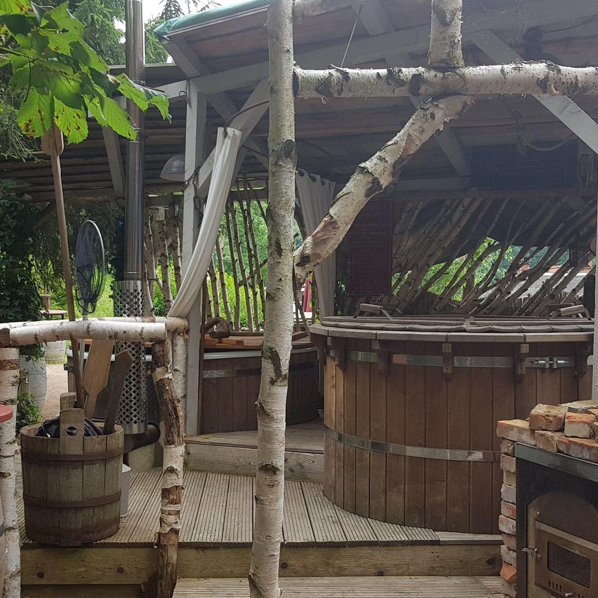
Although there is usually no wood, there is plenty of it in the surrounding forest.
0
0
Renaturalized small gravel pit that is home to many plants.
0
0


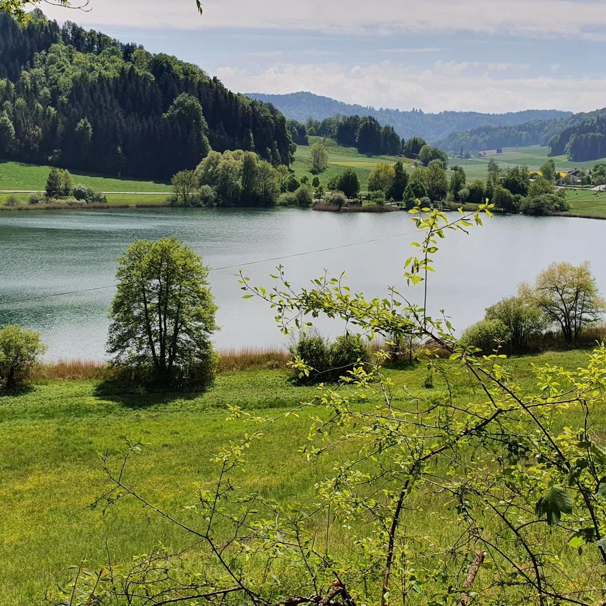
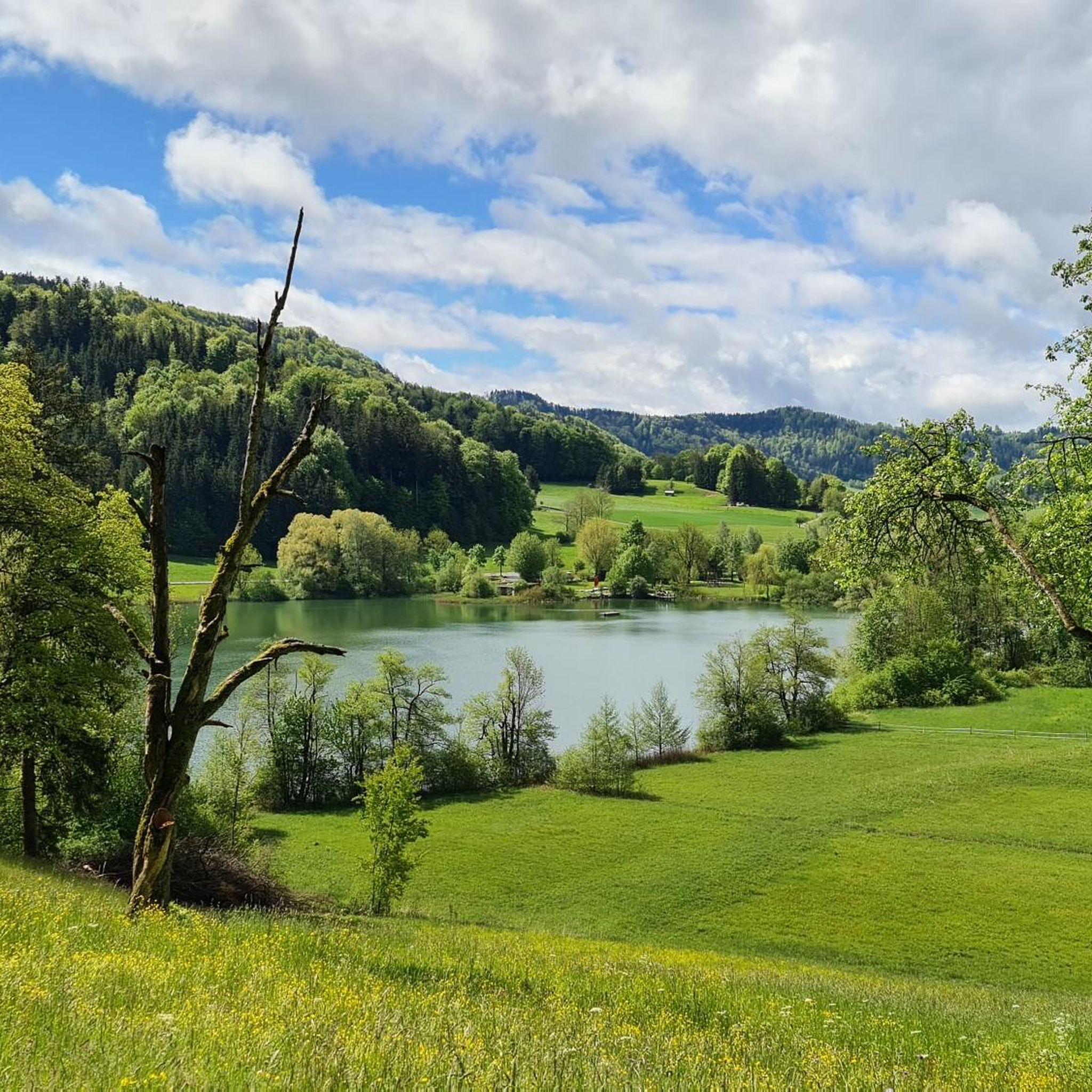
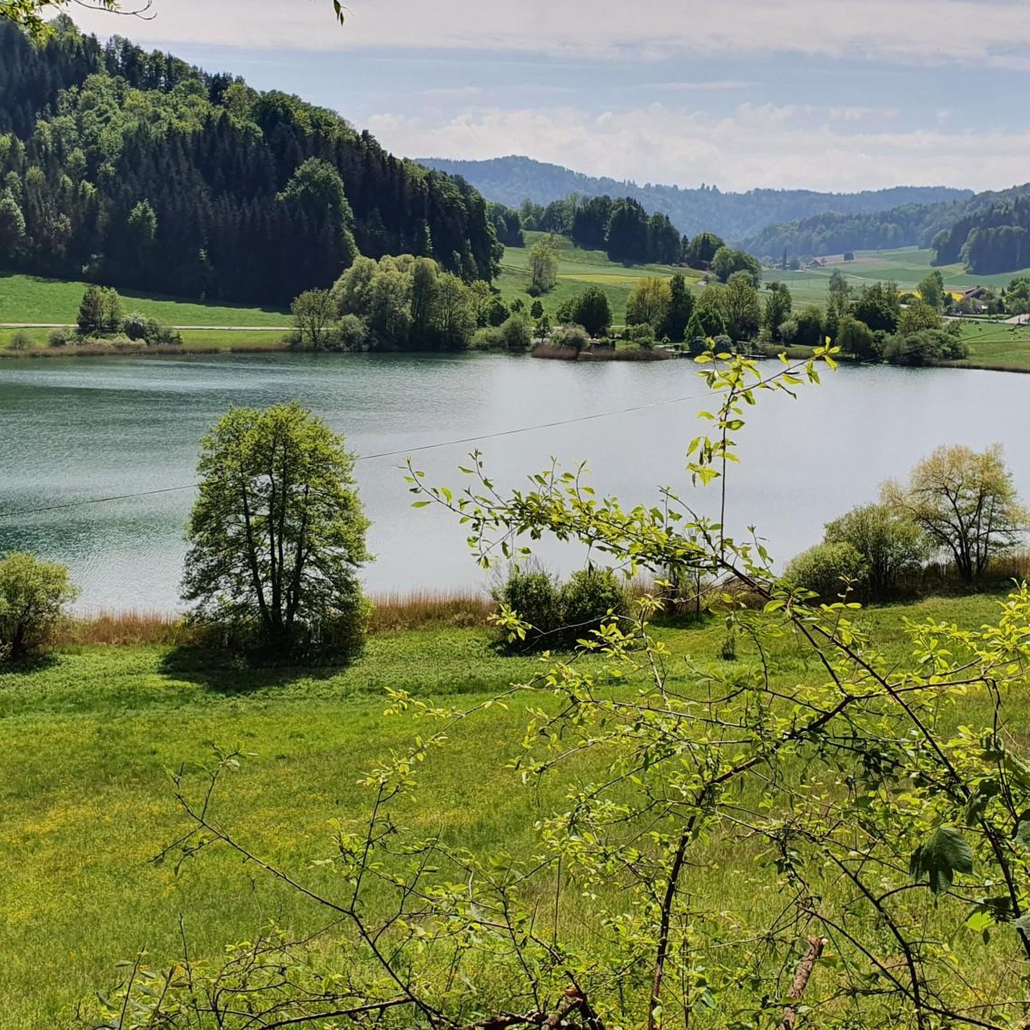
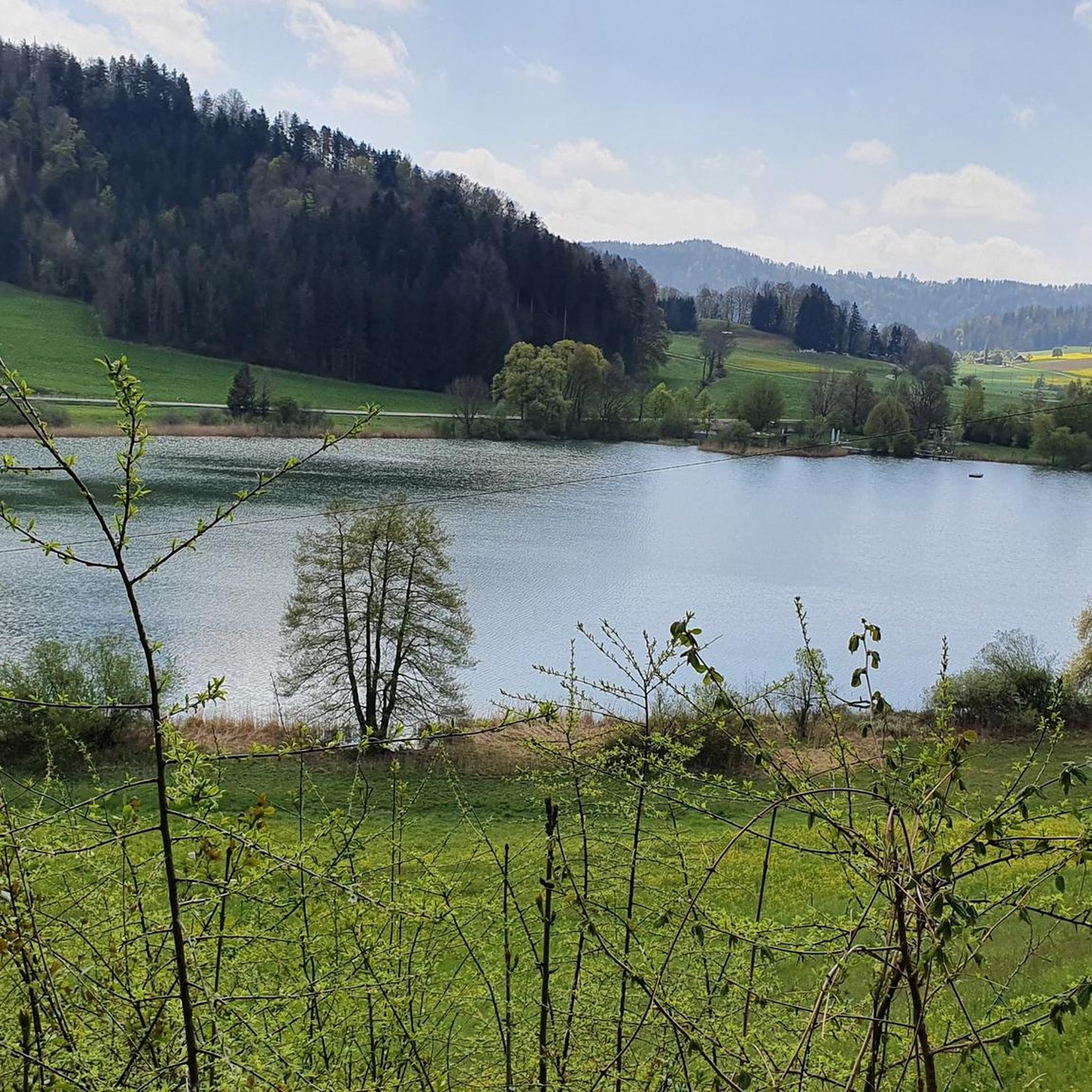
This is the perfect vantage point for the Bichelsee, where you will discover tranquil waters surrounded by lush greenery and gently rolling hills. The surroundings of the Bichelsee are peaceful, making it a great place to take a break and enjoy the scenery.
0
0

After the first climb you will be rewarded with a beautiful view of the still snow-covered Alps 😊
1
0
Frequently Asked Questions
How many hiking trails are available in Bichelsee-Balterswil?
There are over 35 hiking routes in Bichelsee-Balterswil, catering to various skill levels. This includes 13 easy trails, 20 moderate excursions, and 2 more challenging routes for experienced hikers.
What is the best time of year for hiking in Bichelsee-Balterswil?
Bichelsee-Balterswil offers hiking opportunities year-round. Summer is ideal for enjoying the refreshing bathing spot at Lake Bichel, while colder months provide a tranquil natural setting. The diverse landscapes, from forested areas to open grasslands, are beautiful in every season.
What kind of terrain can I expect on hikes around Bichelsee-Balterswil?
The region features a varied topography, including picturesque lakes, forested areas, open grasslands, and ridge lines offering panoramic views. You'll encounter trails ranging from easy walks to routes with steep ascents and descents, particularly when heading towards higher points like the Groot or Hörnli Summit.
Are there easy hiking trails suitable for beginners in Bichelsee-Balterswil?
Yes, there are 13 easy hiking trails in Bichelsee-Balterswil, perfect for beginners or those looking for a relaxed walk. These routes often feature gentle gradients and well-maintained paths, allowing you to enjoy the serene landscapes without significant effort.
Can I find hikes with waterfalls in Bichelsee-Balterswil?
Yes, the region is home to the scenic Hutziker Tobel Waterfalls. A dedicated trail leads along a stream, featuring stairs and the impressive waterfalls, offering a refreshing and picturesque hiking experience.
Are there family-friendly hiking options in Bichelsee-Balterswil?
Many of the easy and moderate trails are suitable for families. The route around Lake Bichel is a popular choice, offering a relatively short and enjoyable walk. Additionally, the Helsana Trail, starting at the Lützelmurg school center, provides designated routes for walking that are great for all ages.
Are dogs allowed on the hiking trails in Bichelsee-Balterswil?
Generally, dogs are welcome on most hiking trails in the Bichelsee-Balterswil region. However, it's always advisable to keep them on a leash, especially in nature protection areas or near livestock, and to carry waste bags to maintain the cleanliness of the trails.
What natural landmarks or viewpoints can I see while hiking?
The region is rich in natural landmarks and viewpoints. You can explore the unique "Tüfels Chilen" Tuff-Formation, a natural monument with historical significance. For panoramic views, consider visiting the Hörnli Summit or the Schauenberg Ruins, which offer distant vistas including the Alps. The Chabishaupt Summit – View of Bichelsee loop also provides excellent views of Lake Bichel.
Are there any circular hiking routes in the area?
Yes, Bichelsee-Balterswil offers several circular hiking routes. A popular option is the Tanneggergrat Ridge Trail – Tannegg Castle Ruins loop, which is 5.8 miles long. Parts of the extensive 200-kilometer Thurgau Circular Hiking Route also pass through this beautiful region, guiding you past small lakes and historical castles.
What do other hikers enjoy the most about hiking in Bichelsee-Balterswil?
The area is highly rated by the komoot community, with an average score of 4.7 stars from over 80 reviews. Hikers often praise the diverse landscapes, including serene lakes and varied forest paths, as well as the well-maintained network of trails that offer options for all skill levels.
Where can I find parking for hiking trails in Bichelsee-Balterswil?
Parking is generally available near popular trailheads and attractions in Bichelsee-Balterswil. Specific parking information can often be found on local signage or within the details of individual route descriptions on komoot, helping you plan your starting point.
Are there any cafes or restaurants near the hiking routes?
Yes, you can find cafes and restaurants in Bichelsee-Balterswil and surrounding villages. These establishments offer opportunities to refuel and relax before or after your hike, with options ranging from traditional Swiss fare to lighter refreshments.
Can I reach the hiking trailheads by public transport?
Bichelsee-Balterswil is accessible by public transport, making it possible to reach many trailheads without a car. Local bus services connect the area, and you can often find information on public transport links to specific starting points on regional transport websites or within komoot's route planning tools.
Most popular routes around Bichelsee-Balterswil
Most popular attractions around Bichelsee-Balterswil

Get inspired with the komoot mobile app


Explore more
Browse the best Hikes in other regions.
