The best MTB trails around Saint-Amant-Tallende
4.4
(885)
3,489
riders
347
rides
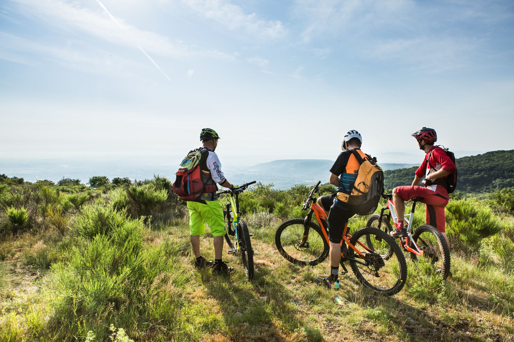
Mountain biking around Saint-Amant-Tallende offers diverse terrain shaped by its volcanic history and river valleys. The region features a mix of plains and mountains, providing varied landscapes for mountain bike trails. Riders can explore areas with distinct volcanic features, including ancient lava flows and the UNESCO World Heritage site of the Chaîne des Puys – Limagne Fault. River valleys and wooded sections also contribute to the varied environment for mountain biking.
Best mountain bike trails around Saint-Amant-Tallende
- The most popular…
Last updated: June 24, 2026
3.0
(2)
16
riders
41.9km
04:44
900m
900m
Hard mountain bike ride. Very good fitness required. Suitable for all skill levels.
4.3
(7)
36
riders
39.5km
03:33
850m
850m
Moderate mountain bike ride. Good fitness required. Suitable for all skill levels.

Sign up for free
4.5
(2)
19
riders
32.3km
02:48
670m
670m
Moderate mountain bike ride. Good fitness required. Suitable for all skill levels.
4.7
(6)
24
riders
27.6km
02:25
530m
530m
Moderate mountain bike ride. Good fitness required. Suitable for all skill levels.
4.8
(5)
14
riders
33.4km
02:32
610m
610m
Moderate mountain bike ride. Good fitness required. Suitable for all skill levels.
Get access to more routes and recommendations from other explorers.
Sign up for free
Already have an account?
Our route recommendations are based on thousands of hikes, rides, and runs completed by other people on komoot.
Start today with a free account
Your next adventure awaits.
Login or Signup


Other adventures around Saint-Amant-Tallende

Tips from the Community


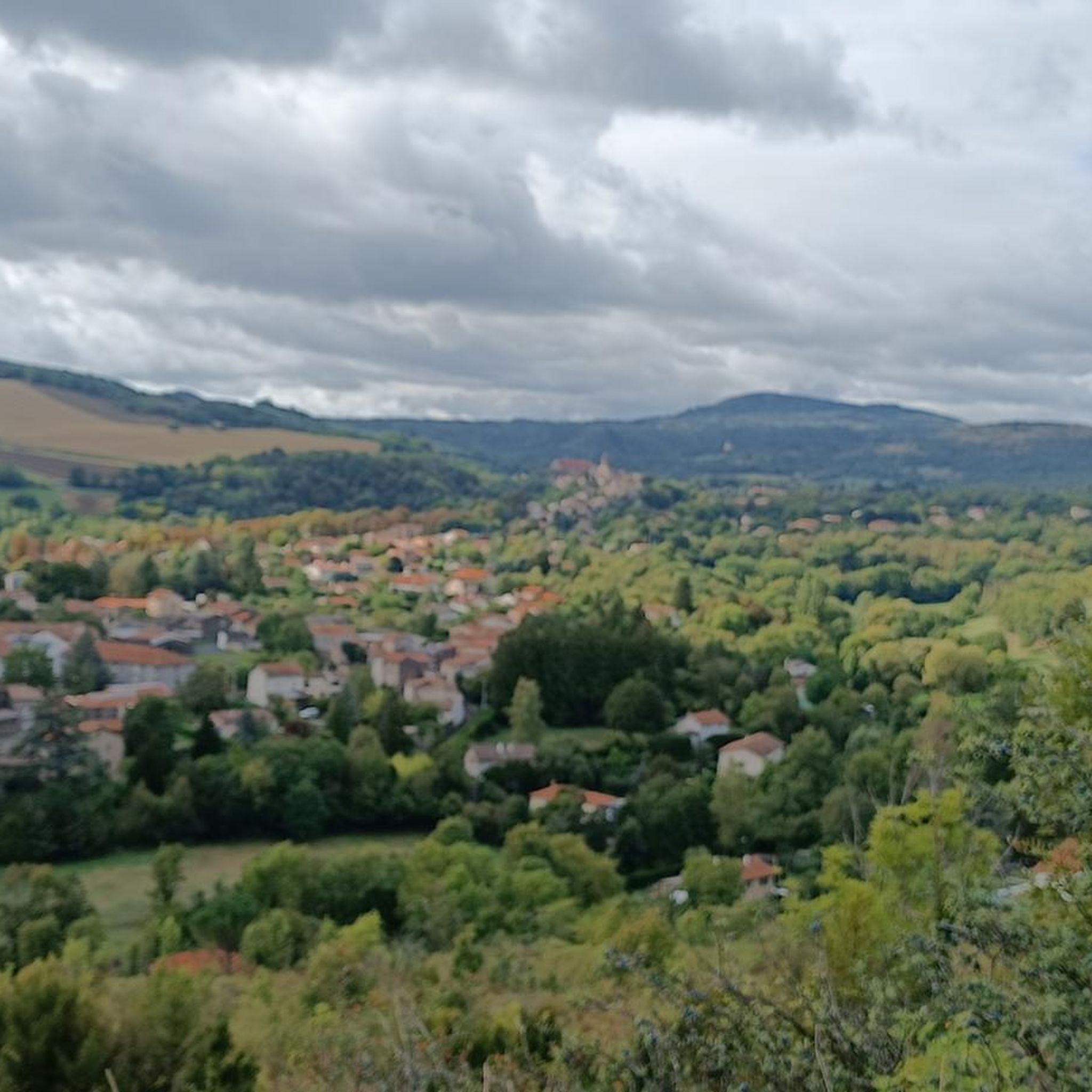
Around a bend, this viewpoint offers a magnificent panorama of Saint-Saturnin, nestled in the hollow of the valley below.
0
0
The path that goes around the Puy d'Olloix, peaking at an altitude of 1,002 meters, offers superb views of the Puys mountain range.
0
0

beautiful place also to stop for a drink. Or a bib-dip.
0
0

Lake Aydat is the largest natural lake in Auvergne. It is a volcanic dam nestled in the heart of the Auvergne Volcanoes Regional Nature Park. The view of the lake and the volcanoes is superb. Opposite you can see Sauteyras and Aydat beach.
0
0

The Fohet Menhir, or Pierre-Longue lying menhir, is a 4.75m high menhir that has remained lying on the ground for a long time. Lying thus, it once served as a site for prayers during the passage of mortuary convoys. It was straightened on December 31, 1991 at midnight by geobiology specialists.
1
0
Frequently Asked Questions
How many mountain bike trails are available around Saint-Amant-Tallende?
There are over 340 mountain bike trails around Saint-Amant-Tallende, offering a wide range of options for different skill levels. This includes more than 50 easy routes, over 240 moderate trails, and nearly 50 difficult routes for experienced riders.
What kind of terrain can I expect on mountain bike trails in Saint-Amant-Tallende?
The terrain around Saint-Amant-Tallende is incredibly diverse, shaped by its unique volcanic history and river valleys. You'll encounter rugged volcanic landscapes, ancient lava flows, and scenic sections along the Monne and Veyre rivers. Trails often traverse wooded areas, open plains, and offer panoramic views of the Chaîne des Puys – Limagne Fault, a UNESCO World Heritage site.
Are there mountain bike trails suitable for families or beginners in Saint-Amant-Tallende?
Yes, Saint-Amant-Tallende offers over 50 easy mountain bike routes, making it suitable for beginners and families. Many moderate trails are also accessible, providing a good balance of challenge and enjoyment. These routes often explore verdant valleys and agricultural paths, offering a gentler riding experience.
Where can I find more challenging mountain bike routes near Saint-Amant-Tallende?
For more challenging rides, you can explore the nearly 50 difficult routes available directly around Saint-Amant-Tallende. Additionally, the nearby Volcanic MTB Base in Aydat, about a 20-minute drive away, offers 24 marked circuits, including challenging red and black routes with substantial climbs and technical descents, providing up to 3,000 feet of elevation gain.
What are some scenic viewpoints or natural features I can see while mountain biking?
Many trails offer superb panoramas across the Puy-de-Dôme department, including views of the fertile Limagne plain and the majestic Massif du Sancy. You can also ride past natural features like Lake Aydat and along the tranquil La Monne Stream. The volcanic landscape itself, part of a UNESCO World Heritage site, provides stunning vistas throughout your ride.
Are there any historical sites or landmarks accessible by mountain bike?
Yes, the region is rich in heritage. Many routes integrate visits to historical sites. You can explore charming nearby villages like Saint-Saturnin and Montpeyroux, both listed among France's 'Most Beautiful Villages'. Some trails also pass by impressive structures such as Saint-Saturnin Castle or the ancient Monne bridge.
What do other mountain bikers say about the trails in Saint-Amant-Tallende?
The mountain bike trails around Saint-Amant-Tallende are highly rated by the komoot community, with an average score of 4.4 stars from over 1,000 reviews. Riders often praise the diverse volcanic landscapes, the scenic river valleys, and the variety of routes suitable for different skill levels.
What is a good moderate mountain bike trail to explore the area?
A popular moderate option is the Randol – View of Lac d'Aydat loop from Le Crest. This 22.8-mile (36.8 km) path offers beautiful views of Lake Aydat and the surrounding volcanic terrain, typically taking around 3 hours 20 minutes to complete.
Are there any long-distance mountain bike routes in the area?
Yes, for a longer ride, consider the Puys and valleys in remote lands trail. This difficult route spans 26.0 miles (41.9 km) and traverses volcanic landscapes and scenic valleys, usually taking about 4 hours 43 minutes to finish.
Can I find mountain bike trails that include a lake view?
Absolutely. The Randol – Lake Aydat loop from Tallende is a great choice. This 26.5-mile (42.6 km) trail leads through volcanic landscapes and directly past Lake Aydat, offering impressive views and typically completed in about 3 hours 45 minutes.
What is the best time of year to go mountain biking in Saint-Amant-Tallende?
The region is generally excellent for outdoor activities. Spring and autumn offer pleasant temperatures and vibrant scenery, making them ideal for mountain biking. Summer can also be great, but it's advisable to start earlier in the day to avoid the midday heat.
Are there any mountain bike trails that pass by ancient monuments?
Yes, you can find routes that incorporate ancient sites. For example, the Menhir of Pierre-Fichade – Menhir de Gourdon loop from Saint-Sandoux is a moderate 32.2 km (20.0 miles) trail that takes you past significant megalithic structures like the Menhir of Pierre-Fichade and the Menhir de Gourdon.
Most popular routes around Saint-Amant-Tallende
Most popular attractions around Saint-Amant-Tallende

Get inspired with the komoot mobile app


Explore more
Browse the best MTB trails in other regions.
