Top 6 Mountain Passes around Chamalières
Mountain passes near Chamalières are located in the immediate vicinity of the Regional Natural Park of the Auvergne Volcanoes. This region is characterized by mountainous landscapes and dormant volcanoes. Several notable mountain passes offer opportunities for natural exploration and recreation. Chamalières, an urban commune, is adjacent to Clermont-Ferrand.
Best mountain passes around Chamalières
- The most popular mountain pass is Ceyssat Pass, a summit that serves as a starting point for climbing to the summit of Puy de Dôme. From…
Last updated: October 26, 2026
Ceyssat Pass
Highlight • Summit
Showing Translation
Tip by

Bancillon Pass
Highlight • Mountain Pass
Translated by Google •
Tip by

Sign up now to discover places like this
Get recommendations on the best single tracks, peaks, & plenty of other exciting outdoor places.
Col de la Moréno (1065 m)
Highlight • Mountain Pass
Translated by Google •
Tip by

Goules Pass
Highlight • Mountain Pass
From …
Translated by Google •
Tip by

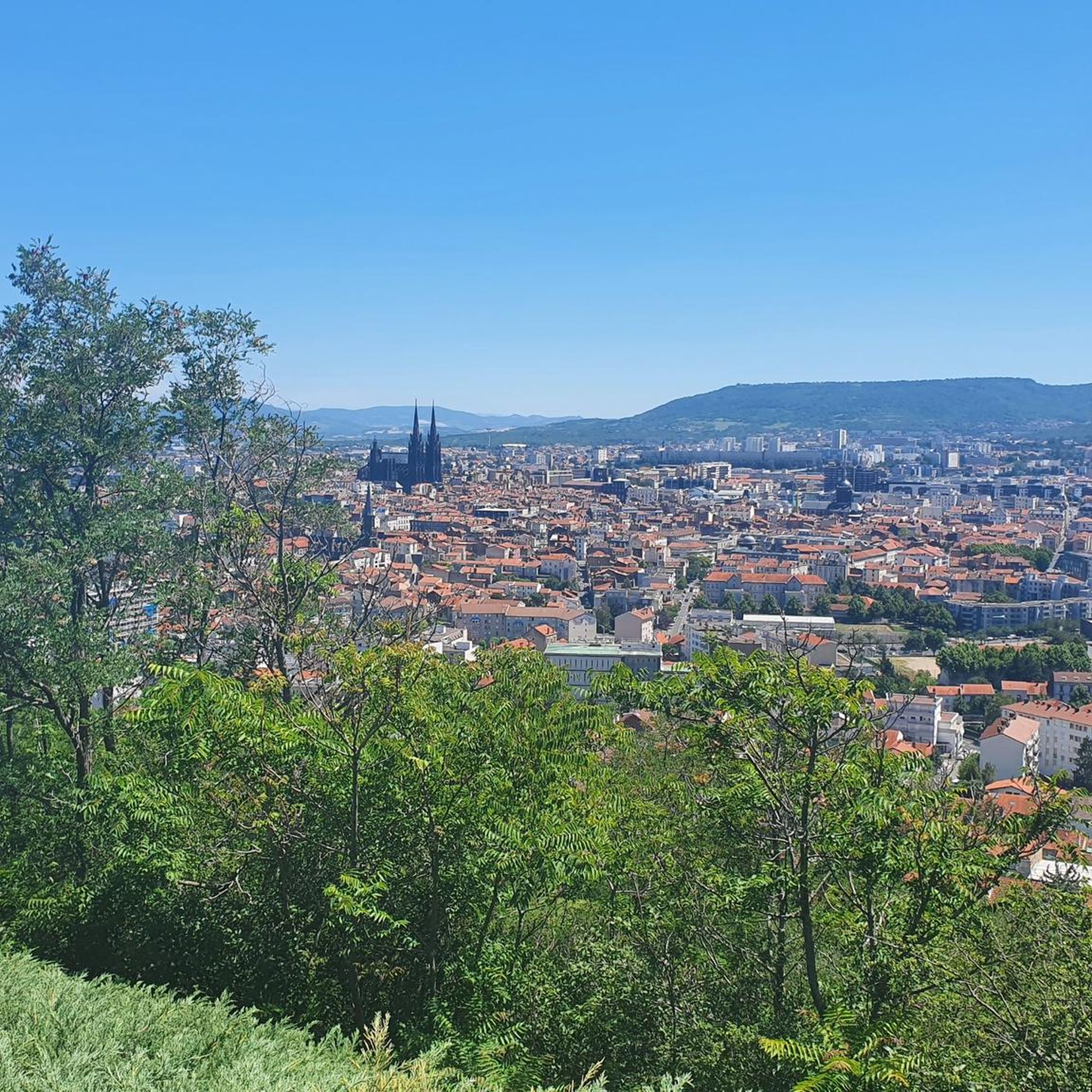
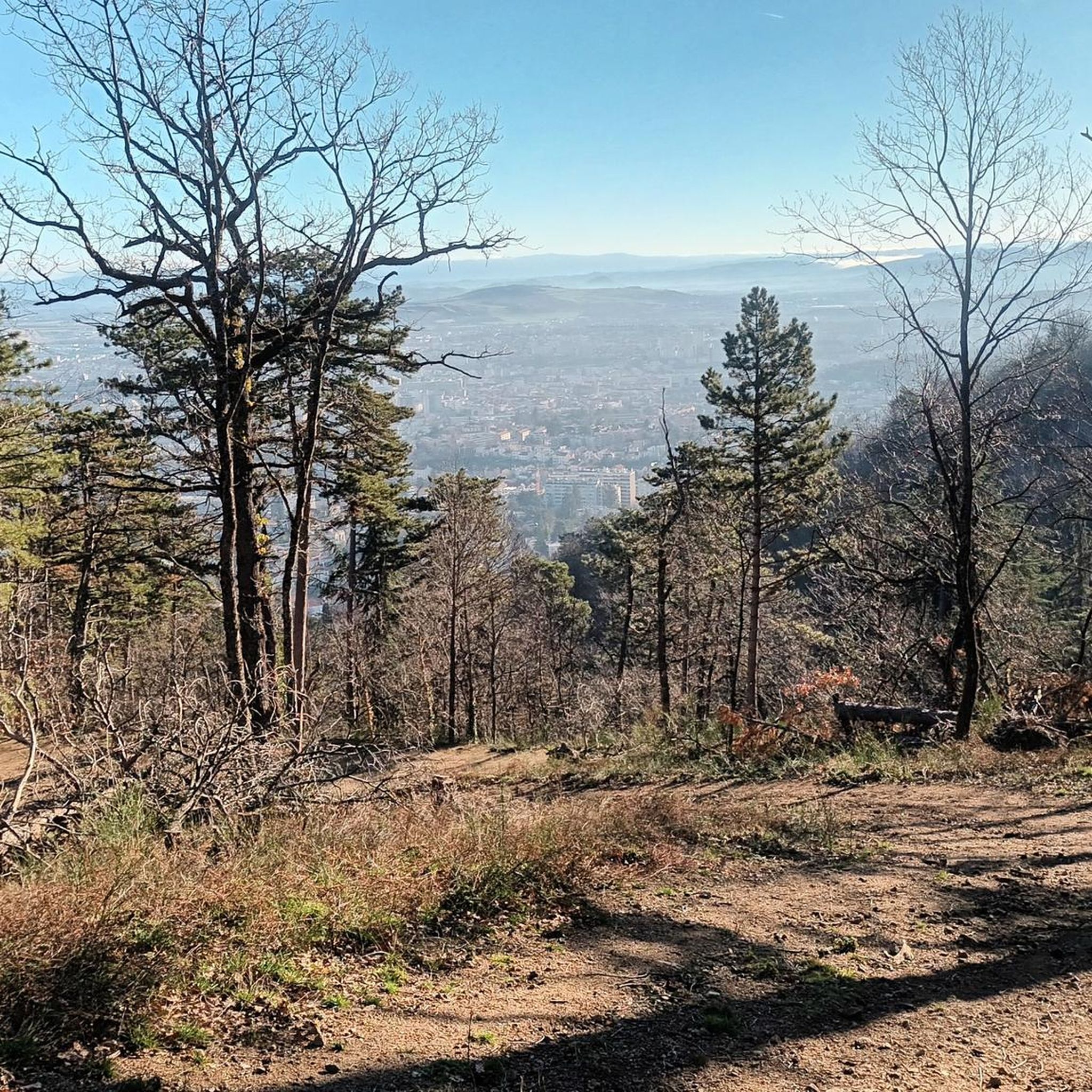
View of Clermont-Ferrand and the Cathedral from the Col de Bancillon
Highlight • Viewpoint
Translated by Google •
Tip by

Start today with a free account
Your next adventure awaits.
Tips from the Community

The Col de Bancillon is a symbolic passage of the GTMC. It is climbed at the end of a steep climb with elevation percentages ranging from 12% to 23%. The arrival at the summit is marked by this emblematic GTMC totem (composed of four white poles).
0
0

It's better to go up via Ceyssat and come back down via Orcines. The climb still hurts but there's less traffic and the descent is worth it 😉
0
0

1 hour, 11km tour between town and hill
0
0

Possibility of having a drink and/or something to eat just opposite the pass sign
0
0

Nice col over a busy road. You can drive up this if you cycle a route around the Puy de Dome.
0
0
Error or ignorance: there is no panoramic cable car to reach the summit of the Puy de Dôme. There is only a panoramic cogwheel train that leaves from the bottom of the volcano. The journey offers the possibility of seeing superb points of view. Other information: the road bordering the train track is a service road. It is prohibited for cars and bicycles. From time to time, thanks to sporting events, it is exceptionally open to cyclists. This road will be taken in July 2023 by the riders of the Tour de France in the final of one of the stages run in Auvergne.
0
0

The Col de Ceyssat from Royat is 9.6 km long with a total drop of 622 m. The average gradient is 6.48% with maximum gradients of 10%.
2
0

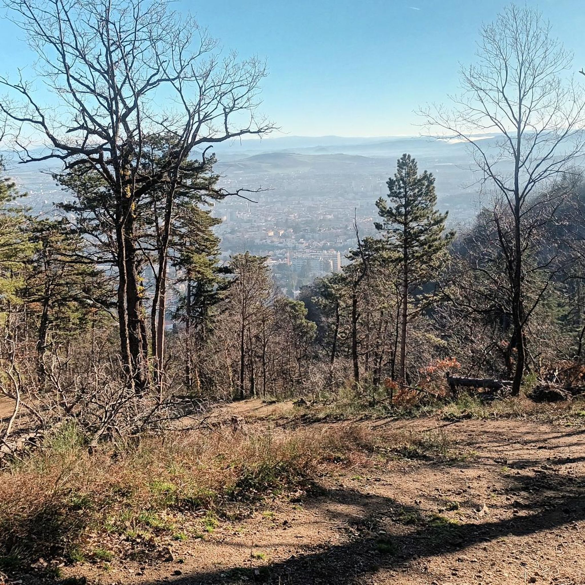
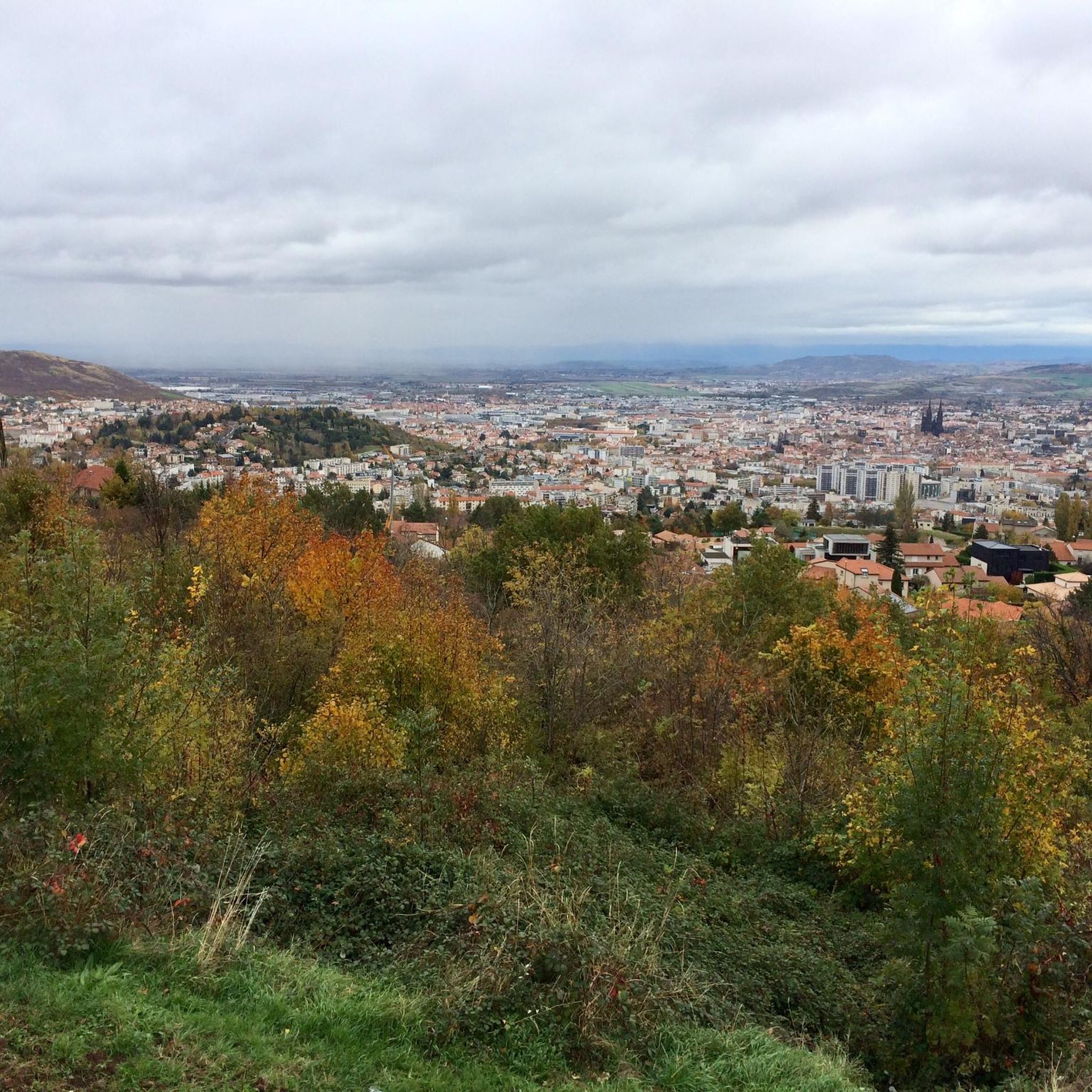
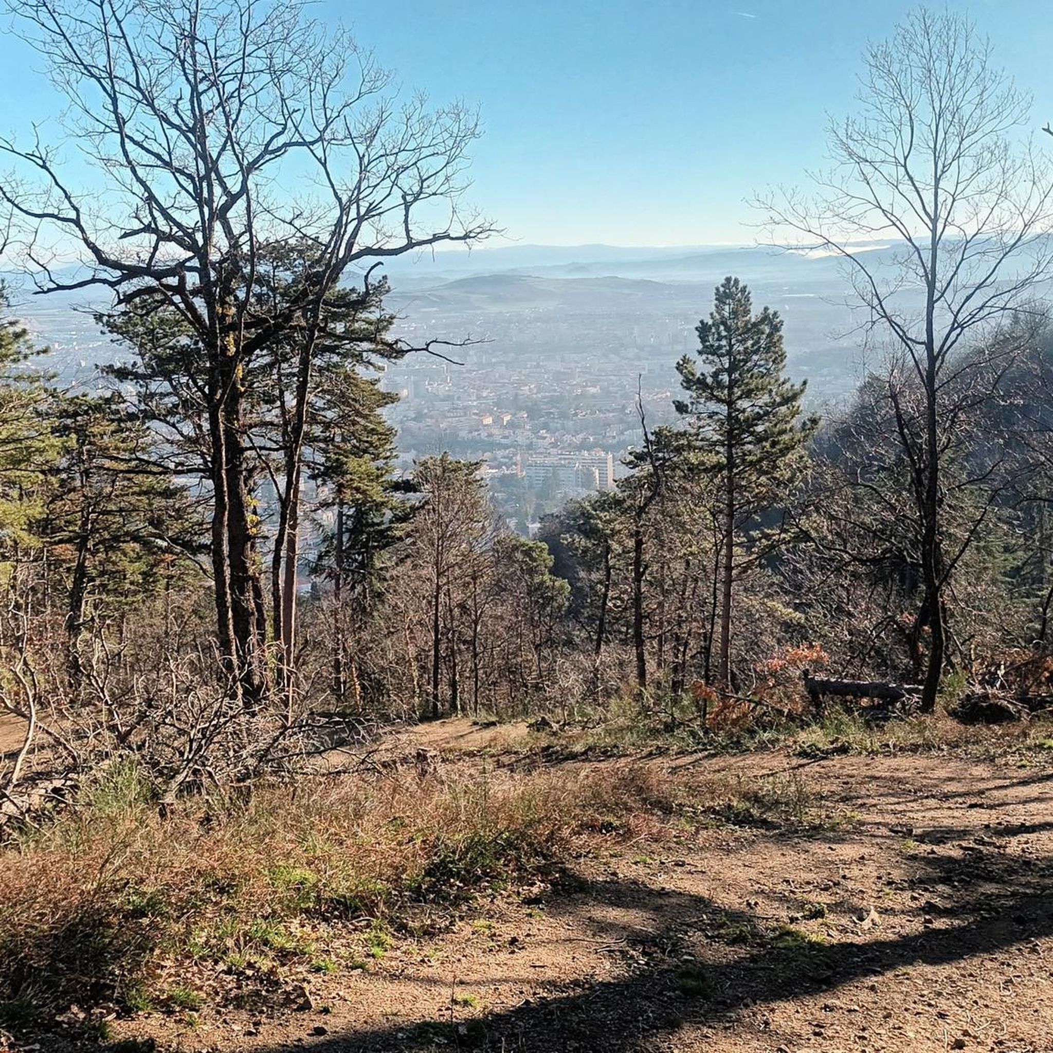
The Col de Bancillon offers lovely views of the center of Clermont and its cathedral.
0
0
Frequently Asked Questions
What are some notable mountain passes to explore near Chamalières?
The region around Chamalières, particularly the Regional Natural Park of the Auvergne Volcanoes, offers several distinctive mountain passes. Key passes include Ceyssat Pass, known as a starting point for climbing Puy de Dôme; Col de la Moréno (1065 m), popular for cycling routes; and Goules Pass, located between Puy de Pariou and Puy des Goules.
How can I reach the summit of Puy de Dôme from Ceyssat Pass?
From Ceyssat Pass, which is at an altitude of 1100 meters, you can hike a path with many steps to reach the summit of Puy de Dôme at 1465 meters above sea level. Alternatively, a panoramic cable car is available a little further west for a less strenuous ascent.
Are there challenging cycling routes that include mountain passes near Chamalières?
Yes, the region is popular for cycling. Col de la Moréno (1065 m) is often included in cycling routes. For specific routes, you can explore options like the 'Col de la Moreno (1065 m) – Ceyssat Pass loop from Royat - Chamalières' which is a difficult 35 km ride. Find more cycling routes in the area on the Cycling around Chamalières guide.
What kind of views can I expect from the mountain passes in this region?
The mountain passes around Chamalières offer spectacular panoramic views, especially of the surrounding volcanoes of the Chaîne des Puys. From the summit of Puy de Dôme, accessible via Ceyssat Pass, you get a unique perspective of the volcanic landscape. Other passes like Col Between Puy de Mercœur and Puy de Lassolas provide unique panoramas of the Puys de Lassolas and de la Vache.
Are there any particularly steep climbs for cyclists or hikers?
Yes, some passes feature significant gradients. The climb to Ceyssat Pass from Royat is 9.6 km long with an average gradient of 6.48% and maximum gradients of 10%. Bancillon Pass is known for a very steep climb with elevation percentages ranging from 12% to 23%.
What outdoor activities are available near the mountain passes around Chamalières?
The area is ideal for various outdoor activities. You can enjoy hiking, running, and cycling. For instance, there are mountain hikes like the 'Puy de Dôme loop' or 'Ceyssat Pass – Puy de Dôme Summit loop'. Explore more options on the Mountain Hikes around Chamalières guide or the Running Trails around Chamalières guide.
What is the highest peak in the Auvergne region and how can I visit it?
The highest peak in the Auvergne is Puy de Sancy, standing at 1885 meters (6185 feet). It's a major attraction for hikers, offering a chairlift year-round or a scenic three-hour loop walk to the summit with varied terrain and waterfalls. The views from Puy de Sancy are highly regarded.
Are there any passes known for their historical or cultural significance?
While not explicitly historical, Bancillon Pass is a symbolic passage of the Grande Traversée du Massif Central (GTMC), marked by an emblematic totem. The broader Auvergne region also features the 'Cheese Route' near Puy Mary, promoting local dairy farms and rural tourism.
What do visitors appreciate most about the mountain passes near Chamalières?
Visitors frequently appreciate the challenging climbs and scenic vistas offered by the mountain passes. The unique volcanic landscapes, especially the panoramic views from spots like Puy de Dôme, are highly valued. The komoot community has contributed over 33 photos and given more than 250 upvotes to the highlights in this area, indicating strong positive engagement.
Is there parking available near the mountain passes?
Yes, for example, near Goules Pass, a large car park is available just after the Fontaine du Berger. For Ceyssat Pass, parking is available as it serves as a starting point for ascents to Puy de Dôme.
What is the best time of year to visit the mountain passes around Chamalières?
The region is generally enjoyable for outdoor activities from spring through autumn. Summer offers pleasant weather for hiking and cycling, while spring and autumn provide beautiful scenery with fewer crowds. Winter can offer opportunities for snow-related activities, especially at higher elevations like Puy de Sancy, but some passes may be less accessible.
Are there any passes that are particularly good for experiencing the volcanic nature of the region?
Absolutely. Ceyssat Pass is an excellent starting point to experience the volcanic landscape, as it leads directly to Puy de Dôme, the highest peak of the Chaîne des Puys, offering unique views of the surrounding volcanoes. The Col Between Puy de Mercœur and Puy de Lassolas also provides a panorama of the Puys de Lassolas et de la Vache.
Most popular routes around Chamalières
Most popular attractions around Chamalières

Get inspired with the komoot mobile app


Explore more
See even more epic mountain passes by checking out these guides around Chamalières:
