The best running trails around Pérignat-Sur-Allier
4.4
(149)
6,992
runners
557
runs
Jogging routes around Pérignat-Sur-Allier offer a blend of rural charm and diverse natural landscapes. The region is characterized by the Allier River and its banks, providing paths along water features and through protected natural spaces like the Ecopôle du Val d'Allier. Varied terrain includes wide, stabilized tracks, partly paved surfaces, and routes offering views of the surrounding Limagne and distant volcanic hills like the Chaîne des Puys. These running routes provide options for different fitness levels, from flat river paths…
Last updated: July 1, 2026
4.7
(3)
330
runners
Moderate run. Good fitness required. Mostly paved surfaces. Suitable for all skill levels.
4.3
(12)
332
runners
9.68km
01:00
50m
50m
Moderate run. Good fitness required. Mostly paved surfaces. Suitable for all skill levels.

Sign up for free
4.0
(4)
232
runners
5.67km
00:36
20m
20m
Moderate run. Good fitness required. Mostly paved surfaces. Suitable for all skill levels.
4.5
(2)
169
runners
Hard run. Very good fitness required. Mostly paved surfaces. Suitable for all skill levels.
149
runners
12.5km
01:30
240m
240m
Moderate run. Good fitness required. Mostly paved surfaces. Suitable for all skill levels.
Get access to more routes and recommendations from other explorers.
Sign up for free
Already have an account?
Our route recommendations are based on thousands of hikes, rides, and runs completed by other people on komoot.
Start today with a free account
Your next adventure awaits.
Login or Signup

Tips from the Community

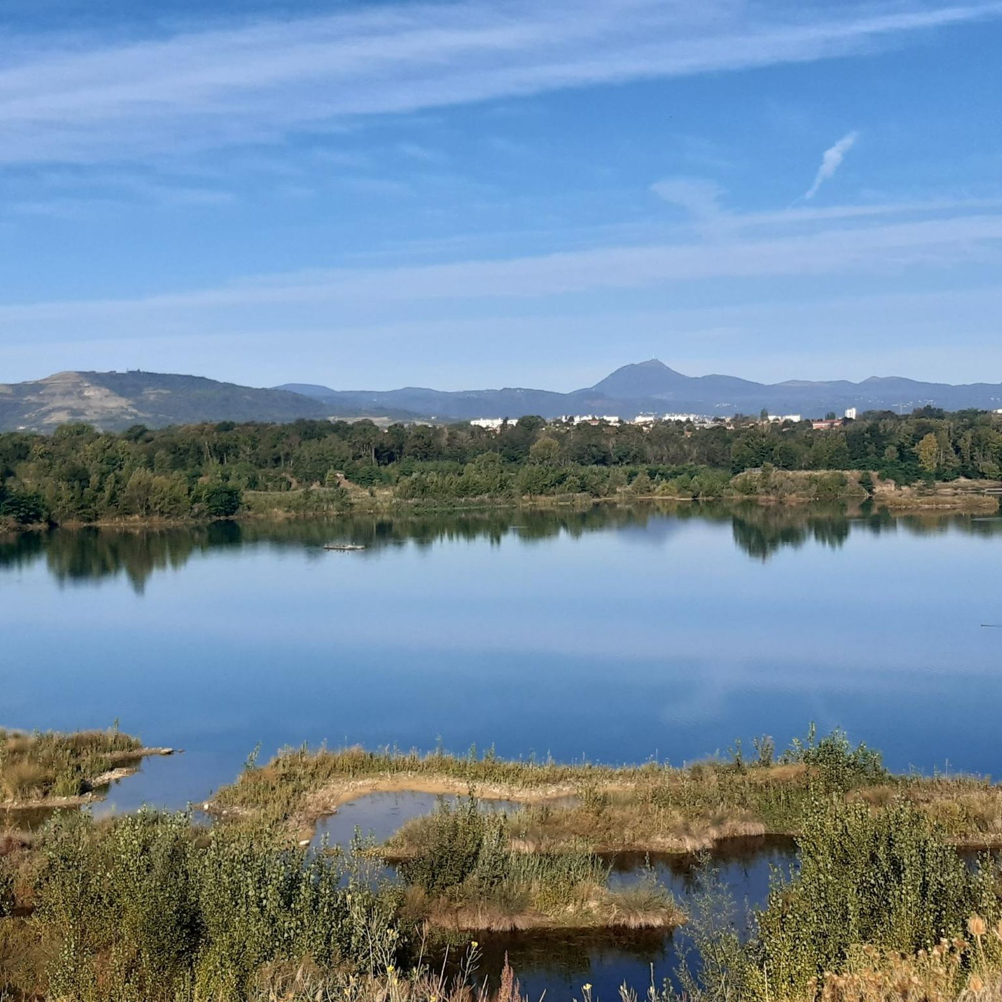
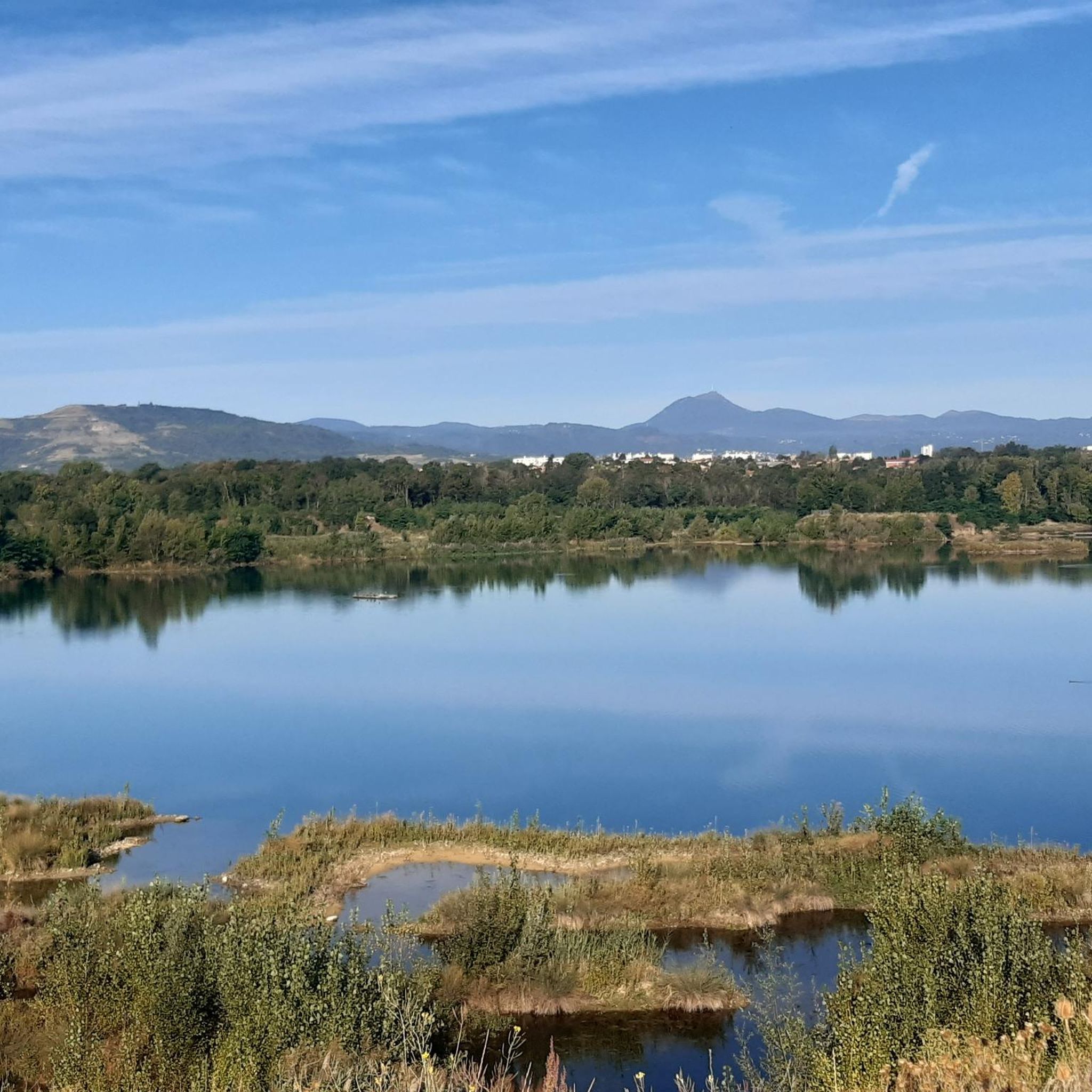
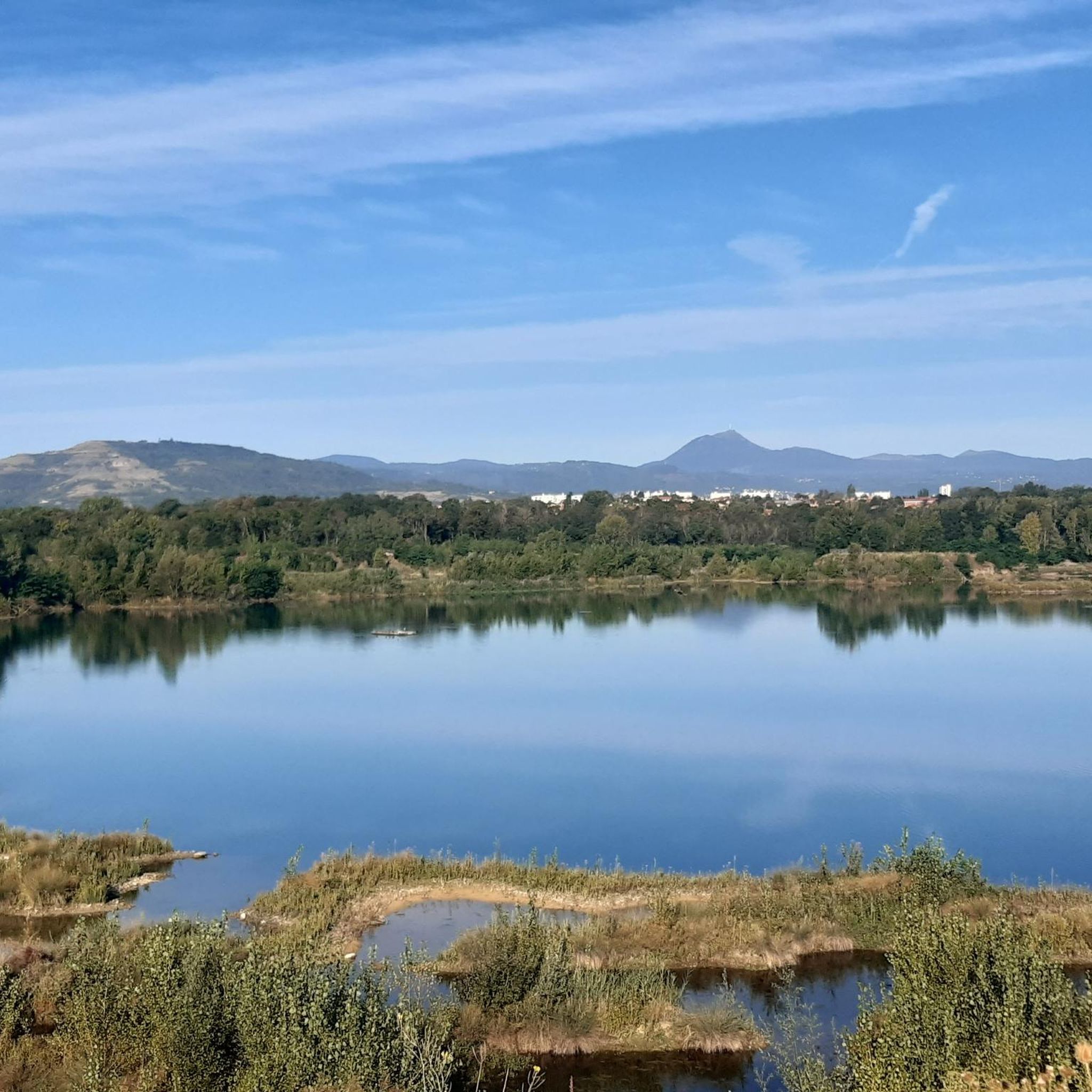
Near the Allier, this passage offers a bit of flatness in the middle of a hilly landscape. A pleasant place mixing woods and bodies of water.
0
0


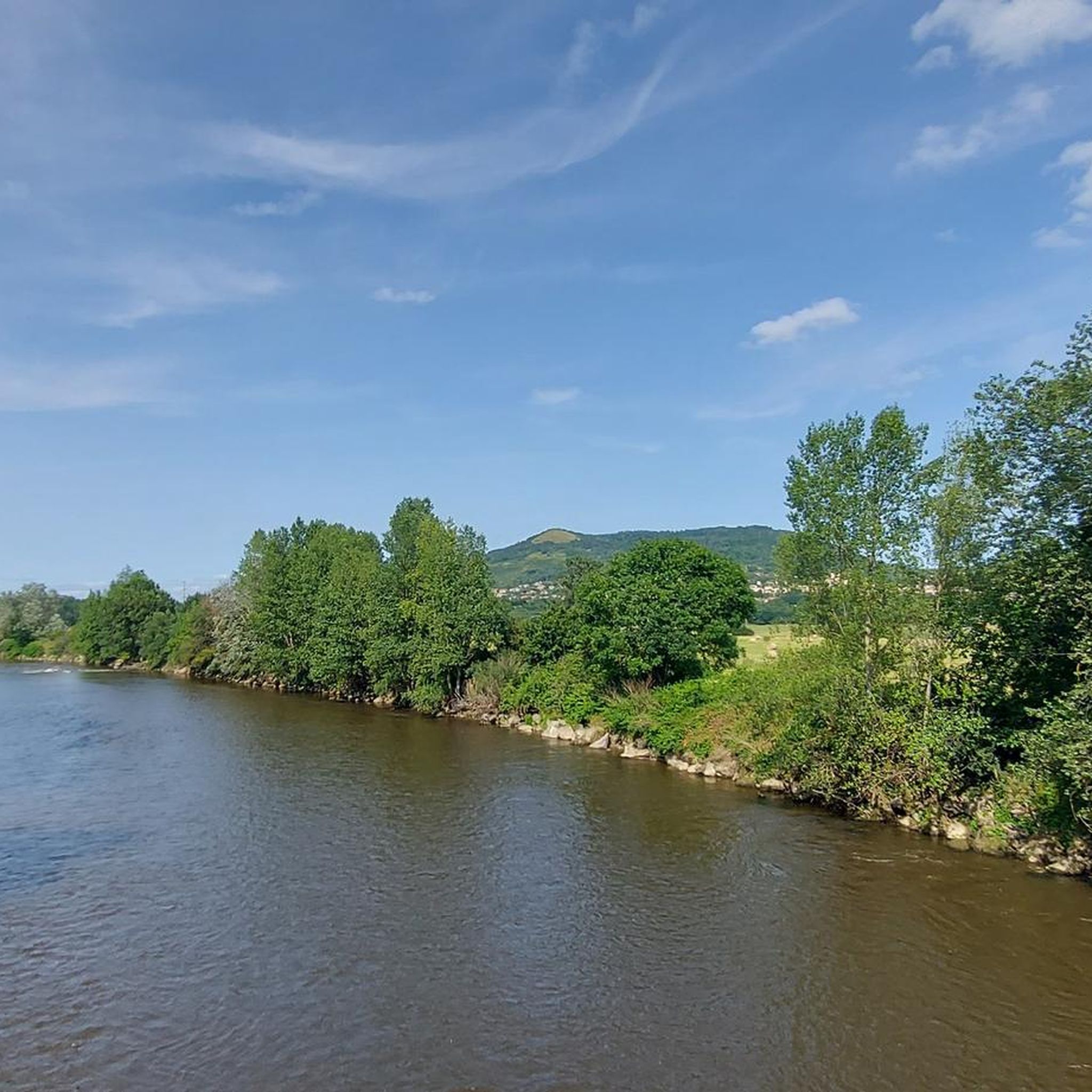
Lots of development on the edge of Allier, tarmac path or wide stabilized track. But some playful and very nice singles survive!!!
0
0
Nice place, take the opportunity to go up to Puy d'Anzelles which is right next door!!
1
0

Rolling path with a view, at the back, of the Puy chain
0
0

this footbridge allows you to extend your walk on both sides of the Allier. No cars, flat paths.
0
0

The Via Allier greenway and the landscaped lake of Cournon allow you to cut off from the nearby town.
0
0
The Puy de Bane above Cournon offers lovely views over the plain of Clermont and the Puys range
0
0
Frequently Asked Questions
How many running routes are available around Pérignat-Sur-Allier?
There are over 10 dedicated running routes around Pérignat-Sur-Allier, offering a variety of distances and terrains to explore.
What kind of terrain and difficulty levels can I expect on the running trails?
The region offers a diverse range of terrains. You'll find routes along the Allier River banks, through natural areas with ponds, and paths with views of the Chaîne des Puys. Difficulty levels vary, with 2 easy routes, 10 moderate routes, and 2 more challenging options, catering to different fitness levels.
Are there any easy or family-friendly running paths in the area?
Yes, for an easy and family-friendly option, consider the Exceptional view loop from Pérignat-sur-Allier. This 2.2-mile (3.6 km) path is generally flat and offers pleasant views of the local landscape and ponds, starting directly from Pérignat-sur-Allier.
Can I find circular running routes around Pérignat-Sur-Allier?
Many of the running routes in the area are designed as loops, allowing you to start and finish in the same location. For example, the Exceptional view – Pathway by the Allier River loop from Clermont-Ferrand is a popular circular option that follows the scenic Allier River.
What are some scenic viewpoints or attractions I can see while running?
The routes often provide clear views of the surrounding Limagne, the Allier River, and distant volcanic hills like the Chaîne des Puys. You might also encounter historical elements such as the View of Busseol castle or pass by the Medieval Center of Billom. The View from Puy Saint-Romain – View of Busseol castle loop from Clermont-Ferrand specifically highlights these features.
Are there any running routes that offer views of the Chaîne des Puys?
Yes, several routes provide glimpses of the majestic Chaîne des Puys. The region's diverse landscapes, including loops through the heights of the Allier, are designed to offer panoramic vistas that often include these iconic volcanic features. The Exceptional view loop from Clermont-Ferrand is one such route that leads through varied terrain with views of the wider region.
What do other runners enjoy most about the trails in Pérignat-Sur-Allier?
The running routes in Pérignat-Sur-Allier are highly rated by the komoot community, with an average score of 4.3 stars from over 150 reviews. Runners often praise the blend of rural charm, diverse natural landscapes, and the scenic paths along the Allier River and through natural areas like the Ecopôle du Val d'Allier.
Are there any longer running routes for experienced runners?
For experienced runners seeking a longer challenge, the View from Puy Saint-Romain – View of Busseol castle loop from Clermont-Ferrand is a difficult 16.3-mile (26.2 km) trail with significant elevation gain, offering extensive views and a demanding workout.
What is the best season for running in Pérignat-Sur-Allier?
The region is enjoyable for running throughout much of the year. Spring and autumn offer pleasant temperatures and beautiful scenery. Summer can be warm, so early morning or late evening runs are often preferred. Even in winter, many paths along the Allier River and through natural areas remain accessible, though conditions may vary.
Are there running routes that pass through natural protected areas?
Yes, some routes traverse or offer views of the Ecopôle du Val d'Allier, a protected natural space dedicated to biodiversity preservation. This area, a former quarry transformed into a humid natural zone, provides discovery trails and opportunities for birdwatching while running.
Are there options for running near Clermont-Ferrand, south of Pérignat-Sur-Allier?
Many routes are accessible from or near Clermont-Ferrand, offering convenient options for runners in the southern part of the city. For instance, the Running loop from Clermont-Ferrand is a moderate 6.6-mile (10.7 km) trail that starts directly from the city and explores the surrounding landscapes.
What kind of surfaces can I expect on the running trails?
You'll find a mix of surfaces, from partly paved paths and wide, stabilized tracks along the Allier River to more natural trails through fields and wooded areas. This variety ensures a dynamic running experience, catering to different preferences for ground underfoot.
Most popular routes around Pérignat-Sur-Allier
Most popular attractions around Pérignat-Sur-Allier

Get inspired with the komoot mobile app


Explore more
Browse the best Running Trails & Routes in other regions.
