The best walks and hikes around Pérignat-Sur-Allier
4.4
(586)
4,366
hikers
14
hikes
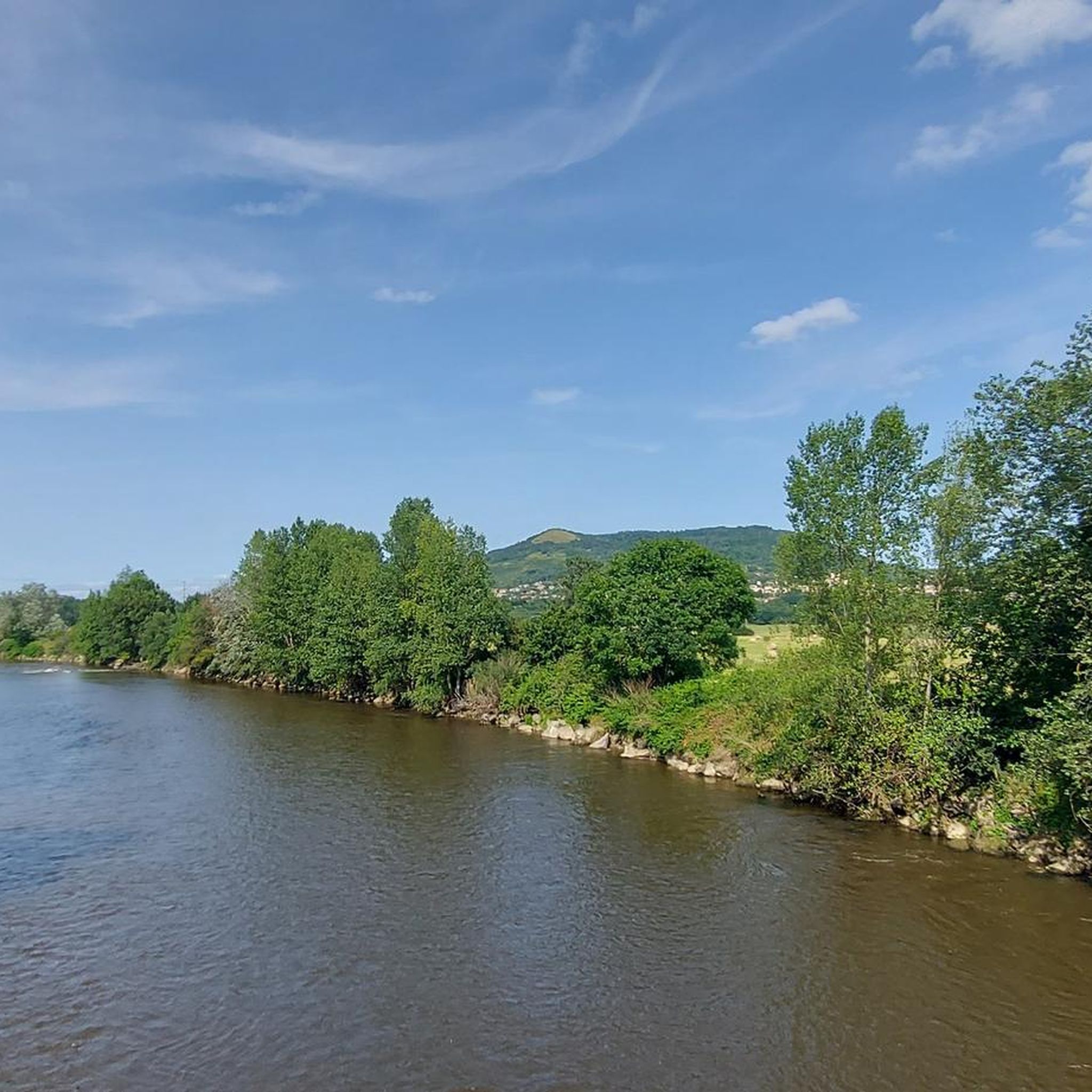
Hiking around Pérignat-Sur-Allier traverses a diverse landscape characterized by the Allier River and its associated wetlands, offering opportunities for observing local flora and fauna. The region is situated within the Puy-de-Dôme department, featuring volcanic scenery with accessible hills and views of the Chaîne des Puys. Trails lead through wooded areas, open fields, and along riverbanks, providing varied terrain for exploration. This area combines natural beauty with historical and cultural points of interest.
Best hiking trails around Pérignat-Sur-Allier
- The most popular…
Last updated: June 25, 2026
4.6
(16)
102
hikers
3.67km
00:56
10m
10m
Easy hike. Great for any fitness level. Easily-accessible paths. Suitable for all skill levels.
5.0
(1)
26
hikers
14.2km
03:50
170m
170m
Moderate hike. Good fitness required. Easily-accessible paths. Suitable for all skill levels.

Sign up for free
4.3
(3)
23
hikers
3.63km
00:56
10m
10m
Easy hike. Great for any fitness level. Easily-accessible paths. Suitable for all skill levels.
5.0
(2)
8
hikers
16.2km
04:50
490m
490m
Moderate hike. Good fitness required. Easily-accessible paths. Suitable for all skill levels.
5.0
(1)
19
hikers
Moderate hike. Good fitness required. Easily-accessible paths. Suitable for all skill levels.
Get access to more routes and recommendations from other explorers.
Sign up for free
Already have an account?
Our route recommendations are based on thousands of hikes, rides, and runs completed by other people on komoot.
Start today with a free account
Your next adventure awaits.
Login or Signup

Tips from the Community


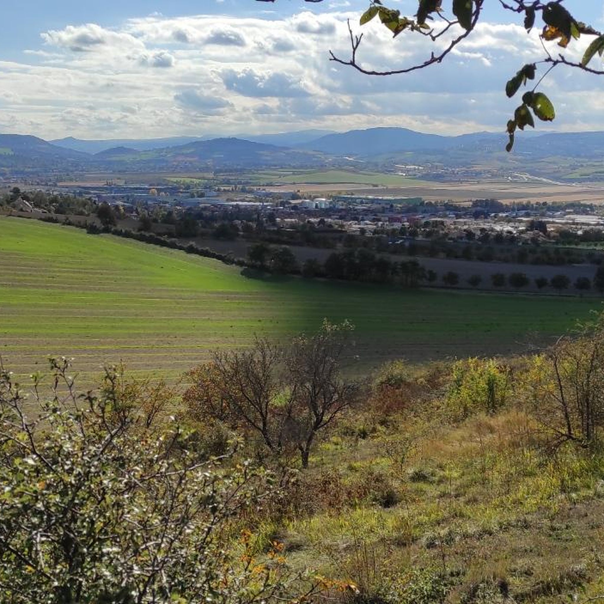
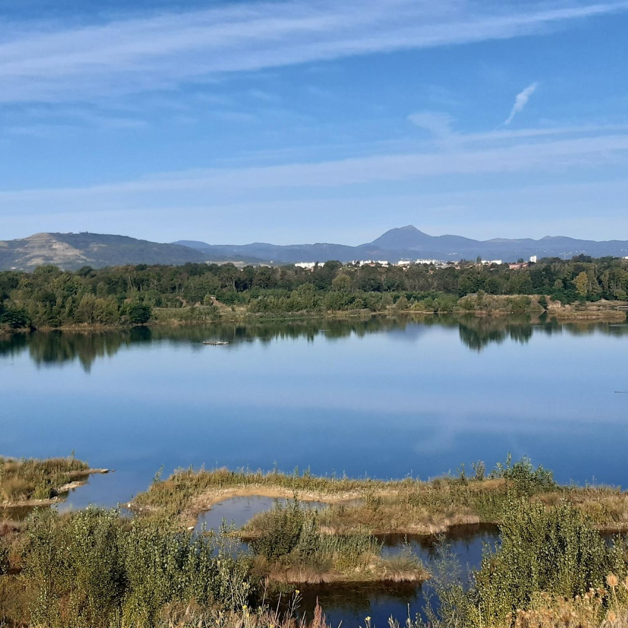
Near the Allier, this passage offers a bit of flatness in the middle of a hilly landscape. A pleasant place mixing woods and bodies of water.
0
0

To do 🚴♀️🚴♂️ thank you for the information on the castle
0
0

Nice hike, and bravo for the historical explanations of the castle 👍
0
0
Superb hike, easy, pleasant for all levels.
0
0
Easy hike that goes up a bit, very nice view.
0
0

Magnificent feudal castle with the Puy Saint André to climb to enjoy the view
0
0

Great corner en route and Gravel !!
0
0
Frequently Asked Questions
What types of landscapes can I expect to see while hiking around Pérignat-sur-Allier?
The region offers a diverse mix of landscapes. You'll find picturesque riverside paths along the Allier River, especially around the ponds, which are known for their birdlife. The area also features volcanic scenery with accessible 'puys' (volcanic peaks) and expansive views of the Chaîne des Puys. Trails often lead through wooded areas, open fields, and offer glimpses of more distant peaks like the Puy de Dôme and Sancy mountains.
Are there any easy hiking trails suitable for beginners or a relaxed stroll?
Yes, Pérignat-sur-Allier has several easy routes. For example, the Étang Sous-le-Torre loop from Clermont-Ferrand is an easy 3.7 km trail offering views of local ponds. Another gentle option is the Intersection loop from Clermont-Ferrand, which is 5.9 km and explores the rural landscape through fields. Overall, 8 of the 12 available routes are rated as easy.
What do other hikers say about the trails in Pérignat-sur-Allier?
The hiking routes around Pérignat-sur-Allier are highly regarded by the komoot community, holding an average rating of 4.5 stars from over 560 reviews. Hikers often praise the tranquil riverside paths, the varied terrain, and the opportunities to enjoy both natural beauty and historical sites.
Are there any circular walks available in the area?
Yes, many of the trails are designed as circular routes. For instance, the Intersection – Île aux Oiseaux loop from Pérignat-sur-Allier is a 7.7 km circular trail that takes you through the Allier River valley. Another option is the longer, moderate Île aux Oiseaux – Intersection loop from Pérignat-sur-Allier, covering 13.7 km.
Can I combine hiking with exploring historical sites or cultural attractions?
Absolutely. The region is rich in history. You can explore the village's historic Fort Villageois and the Sainte Agathe church. Nearby, you might encounter attractions like the View of Busseol castle or the charming Medieval Center of Billom with its half-timbered houses. The Plateau de Corent, an archaeological site, also offers hiking opportunities.
Are there any trails that offer good opportunities for wildlife spotting, especially birds?
Yes, the areas along the Allier River are particularly good for wildlife. The 'Boucle des étangs de Pérignat-sur-Allier' (Loop of the Pérignat-sur-Allier Ponds) is known for its beautiful birdlife. The Écopôle du Val d'Allier, a protected natural wetland area, offers discovery trails and observatories specifically for observing local flora and fauna, including numerous bird species.
What are some notable natural features or landmarks to look out for on hikes?
Beyond the Allier River, you'll find several volcanic peaks, or 'puys,' such as the Puy de la Poule, Puy de Mur, Puy Saint-Romain, and Puy de Marmant. These offer varied terrains and vistas. The region also provides views of the prominent Puy de Dôme and Sancy mountains from certain trails.
Are there any moderate trails for hikers looking for a bit more challenge?
Yes, there are a few moderate trails available. The longest route in the area, the Île aux Oiseaux – Intersection loop from Pérignat-sur-Allier, is a 13.7 km moderate hike with more elevation gain, offering a greater challenge than the easy riverside strolls. There are 4 moderate routes in total.
How many hiking routes are available in the Pérignat-sur-Allier area?
There are 12 hiking routes available around Pérignat-sur-Allier, catering to various preferences. These include 8 easy routes and 4 moderate routes, ensuring options for different skill levels.
Are there any castles or châteaux that can be seen or visited while hiking?
Yes, the area features several historical castles. You can find highlights such as the Château de Montmorin and the Château de Lachaux. Some trails also offer views of the Busseol castle, adding a historical dimension to your outdoor experience.
Is the region suitable for family-friendly hikes?
Given the prevalence of easy routes and the gentle terrain along the Allier River and its ponds, many trails are suitable for families. The shorter, easy loops, like the Étang Sous-le-Torre loop, are ideal for walks with children, offering pleasant scenery without significant elevation changes.
Most popular routes around Pérignat-Sur-Allier
Most popular attractions around Pérignat-Sur-Allier

Get inspired with the komoot mobile app


Explore more
Browse the best Hikes in other regions.
