The best road cycling routes around Saint-Hilaire-La-Croix
4.4
(21)
857
riders
119
rides
Road cycling routes around Saint-Hilaire-La-Croix are situated on the eastern edge of the Combrailles plateau in the Puy-de-Dôme department, offering varied landscapes. The region features altitudes ranging from 424 meters to 649 meters, providing a hilly terrain with both ascents and descents. Cyclists can expect views of the Chaîne des Puys, the Limagne plain, and the Bois-Noirs, with several waterways like the Morge and La Sep adding to the scenic routes. This diverse topography creates an engaging environment for road…
Last updated: July 6, 2026
5.0
(1)
25
riders
84.9km
04:11
1,290m
1,290m
Hard road ride. Very good fitness required. Mostly well-paved surfaces and easy to ride.
21
riders
Moderate road ride. Good fitness required. Some segments of this route may be unpaved and difficult to ride.

Sign up for free
18
riders
58.7km
02:48
770m
770m
Moderate road ride. Good fitness required. Mostly well-paved surfaces and easy to ride.
15
riders
45.4km
02:13
660m
660m
Moderate road ride. Good fitness required. Mostly well-paved surfaces and easy to ride.
8
riders
Moderate road ride. Good fitness required. Mostly well-paved surfaces and easy to ride.
Get access to more routes and recommendations from other explorers.
Sign up for free
Already have an account?
Our route recommendations are based on thousands of hikes, rides, and runs completed by other people on komoot.
Start today with a free account
Your next adventure awaits.
Login or Signup
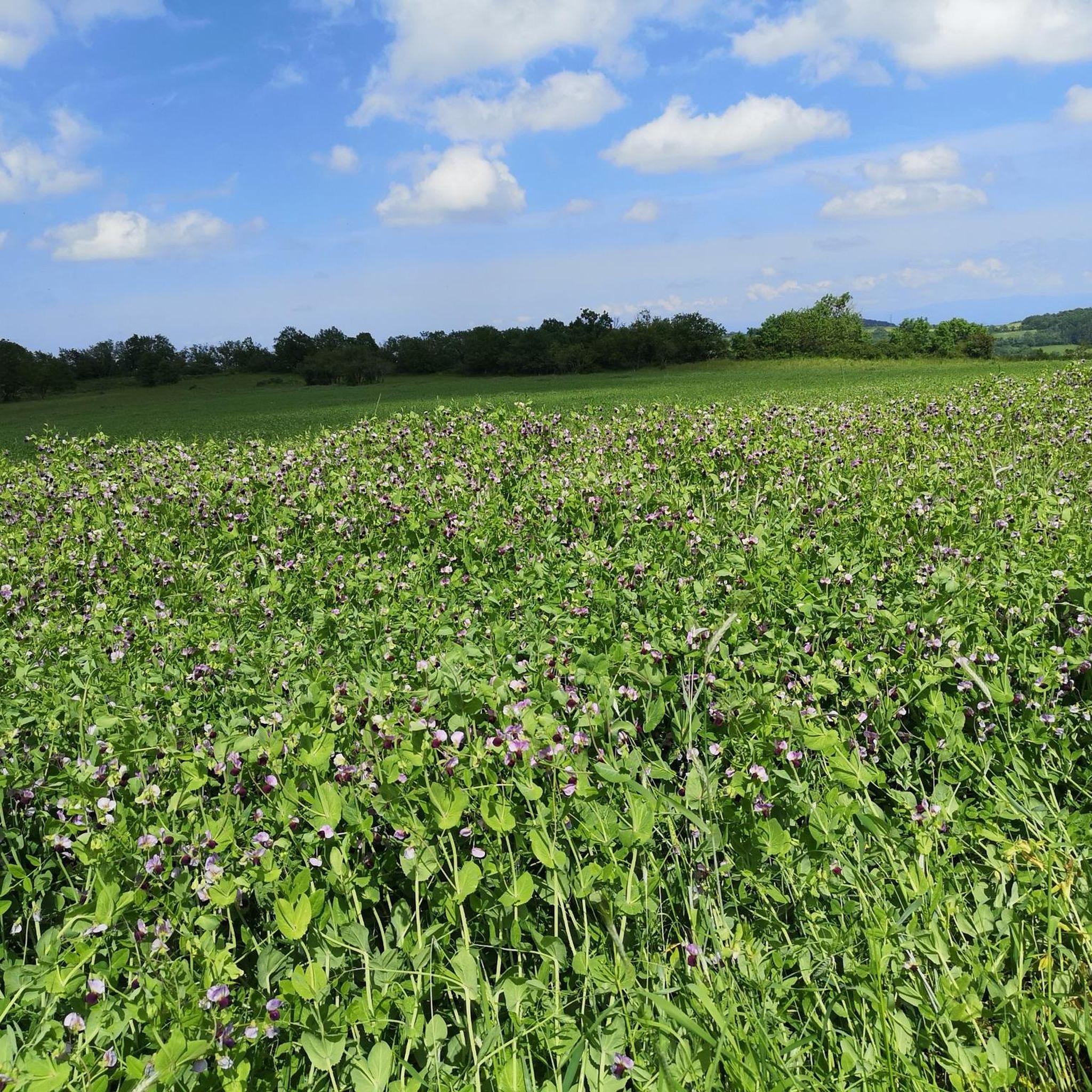
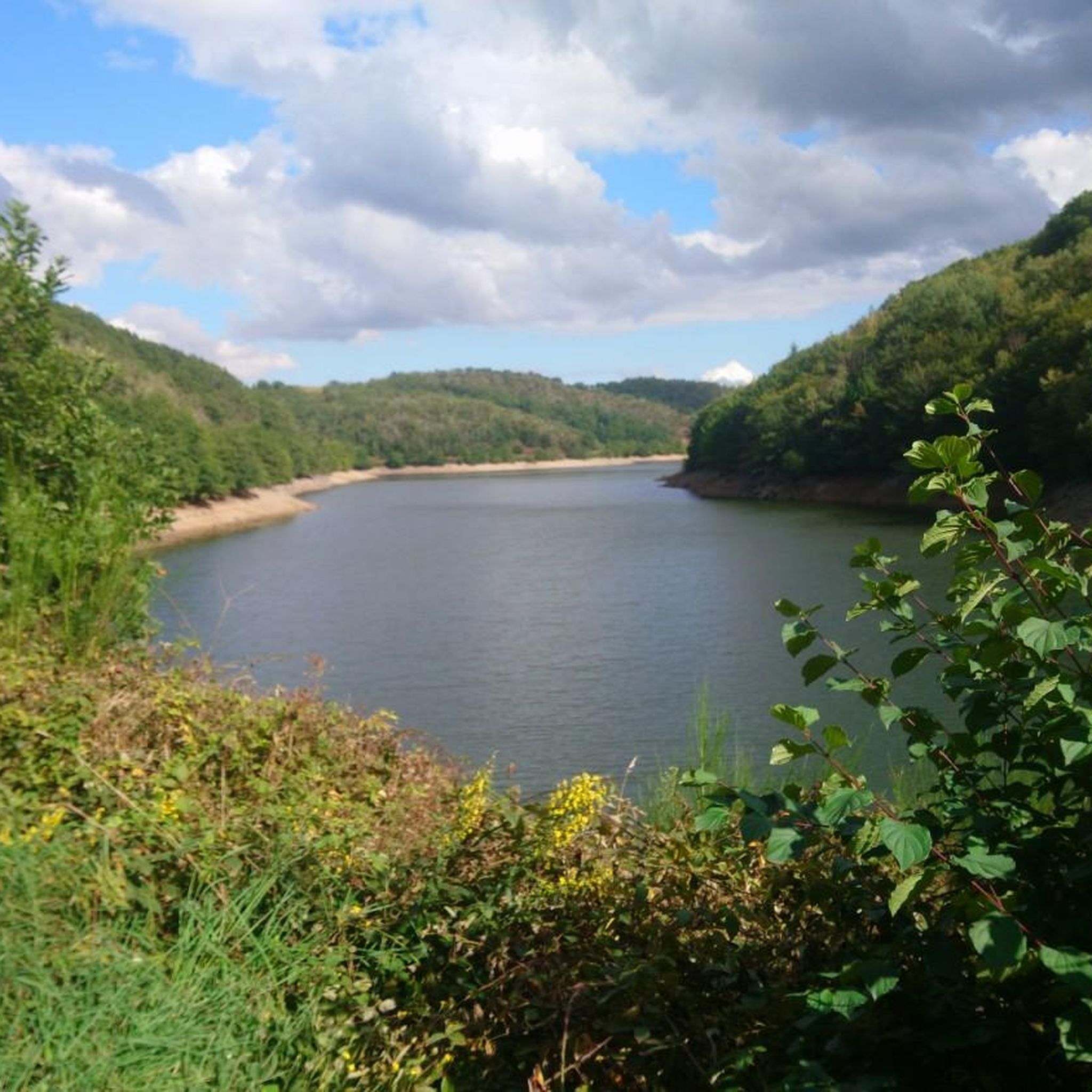
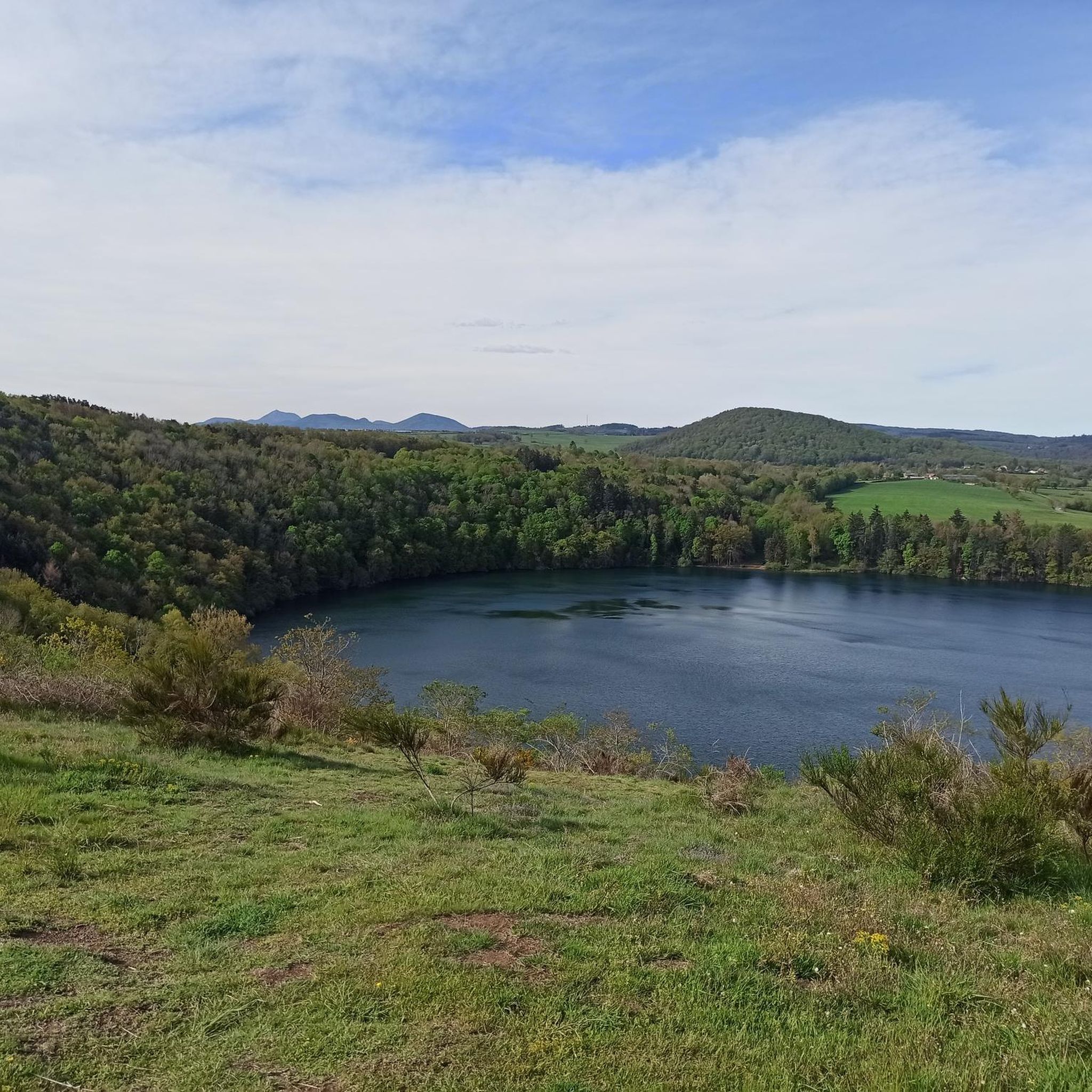
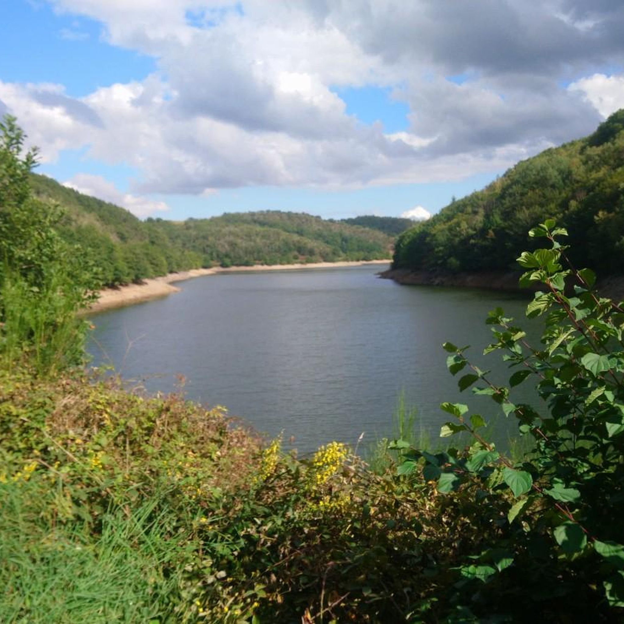

Tips from the Community

Light on in the admittedly short tunnel which makes a slight bend, therefore really dark.
1
0

This arched bridge spanning the Sioule River at Ébreuil is made up of five arches. It was first built in the 19th century, before being rebuilt after a flood swept it away.
0
0

Beautiful old bridge. The bridge's base is completely paved with cobblestones.
0
0

Beautiful road with a nice view.
2
0


Last sharp turn before the “Boulards” sign
0
0

The Chouvigny gorges follow the Sioule river, which has carved a deep and narrow gorge through the volcanic rocks of the Combrailles region. You'll enjoy views of lush greenery, towering cliffs and the medieval Chouvigny Castle, which dates from the 13th century. You can also stop at the village of Chouvigny, which has a rich history and charming atmosphere.
2
0
Frequently Asked Questions
What kind of terrain can I expect when road cycling around Saint-Hilaire-La-Croix?
The region around Saint-Hilaire-La-Croix is characterized by a varied, hilly terrain, with altitudes ranging from 424 to 649 meters. You'll encounter a mix of ascents and descents, offering engaging rides through picturesque hills, valleys, and groves. Cyclists can enjoy expansive views of the Chaîne des Puys, the Limagne plain, and the forested Bois-Noirs.
How many road cycling routes are available in the Saint-Hilaire-La-Croix area?
There are nearly 120 road cycling routes available around Saint-Hilaire-La-Croix on komoot. This extensive network provides options for various skill levels, from moderate to difficult, ensuring there's a suitable ride for almost every road cyclist.
Are there road cycling routes suitable for beginners or those looking for an easier ride?
Yes, while the region is known for its hilly terrain, there are 13 easy road cycling routes available. These routes offer a gentler introduction to the area's landscapes, allowing less experienced riders or those seeking a relaxed pace to enjoy the scenery.
What are some notable natural features or landmarks I can see along the road cycling routes?
Road cycling routes in the area often feature stunning natural and historical landmarks. You can cycle around the beautiful volcanic crater lake, Gour de Tazenat, or explore the dramatic Gorges de Chouvigny along the Sioule river. The ruins of Château-Rocher also offer an intriguing historical stop.
Are there any circular road cycling routes in the region?
Yes, many routes in the Saint-Hilaire-La-Croix area are designed as loops. For instance, the Gour de Tazenat – View of Gour de Tazenat loop from Charbonnières-les-Vieilles is a moderate 38.8 km path that circles the volcanic crater lake, offering scenic views. Another option is the Viaduc des Fades – Pont de Menat loop from Saint-Pardoux, a more challenging 85.9 km route.
What do other road cyclists say about the routes around Saint-Hilaire-La-Croix?
The road cycling routes in Saint-Hilaire-La-Croix are highly rated by the komoot community, with an average score of 4.3 stars from 26 reviews. Over 900 road cyclists have used komoot to explore the varied terrain, often praising the diverse landscapes and engaging climbs.
Can I find routes that pass through charming villages or historical sites?
Absolutely. The region is dotted with charming villages and historical points of interest. For example, the Church of Saint Agoulin – Beauregard Vendon church loop from Paul Le Café is a moderate 45.4 km trail that leads through rural areas featuring historical churches. The village of Saint-Hilaire-La-Croix itself boasts a 12th-century priory and a Romanesque church.
Are there challenging road cycling routes for experienced riders?
Yes, for experienced riders seeking a challenge, there are 27 difficult road cycling routes available. These routes often feature significant elevation gain and longer distances, such as the Viaduc des Fades – Pont de Menat loop from Saint-Pardoux, which covers 85.9 km with over 1300 meters of elevation gain.
What are the best viewpoints to include in a road cycling route?
The region offers several fantastic viewpoints. The Gour de Tazenat Viewpoint provides splendid views of the volcanic crater lake and the distant Chaîne des Puys. Additionally, routes around the Barrage de la Sep offer wide vistas over the Allier valley and the Monts de la Madeleine.
Are there any routes that feature bridges or viaducts?
Yes, the area includes routes that pass by impressive architectural structures. The Viaduc des Fades – Pont de Menat loop from Saint-Pardoux is a notable route that features the Viaduc des Fades and the Pont de Menat, offering unique sights during your ride.
What is the typical elevation gain on road cycling routes in this area?
The elevation gain varies significantly depending on the route's difficulty. Moderate routes, like the Gour de Tazenat loop, typically feature around 650 meters of ascent. More difficult routes, such as the Viaduc des Fades loop, can involve over 1300 meters of elevation gain, providing a substantial challenge.
Can I find routes that follow waterways?
Yes, the region's landscape is enriched by several waterways, including the Morge, La Sep, and La Cigogne. Many road cycling routes incorporate these features, offering scenic rides alongside rivers and around reservoirs like the Barrage de la Sep, adding to the natural beauty of your journey.
Most popular routes around Saint-Hilaire-La-Croix
Most popular attractions around Saint-Hilaire-La-Croix

Get inspired with the komoot mobile app


Explore more
Browse the best Road cycling routes in other regions.
