The best walks and hikes around Saint-Hilaire-La-Croix
4.5
(294)
1,885
hikers
90
hikes
Hiking around Saint-Hilaire-La-Croix offers diverse experiences across its varied landscape. The region features a mix of undulating terrain, natural lakes, and historical sites, providing a range of environments for outdoor exploration. Trails often lead through rural countryside, past bodies of water like Gour de Tazenat and Barrage de la Sep, and near landmarks such as the Priory of Saint-Hilaire. This area provides opportunities for both leisurely strolls and more extended hikes.
Best hiking trails around Saint-Hilaire-La-Croix
- The most popular hiking…
Last updated: July 3, 2026
4.7
(21)
114
hikers
Moderate hike. Good fitness required. Easily-accessible paths. Suitable for all skill levels.
4.8
(9)
66
hikers
7.01km
01:55
110m
110m
Easy hike. Great for any fitness level. Easily-accessible paths. Suitable for all skill levels.

Sign up for free
5.0
(2)
19
hikers
14.1km
04:04
360m
360m
Moderate hike. Good fitness required. Easily-accessible paths. Suitable for all skill levels.
5.0
(2)
19
hikers
Moderate hike. Good fitness required. Easily-accessible paths. Suitable for all skill levels.
4.8
(6)
19
hikers
12.9km
03:35
230m
230m
Moderate hike. Good fitness required. Easily-accessible paths. Suitable for all skill levels.
Get access to more routes and recommendations from other explorers.
Sign up for free
Already have an account?
Our route recommendations are based on thousands of hikes, rides, and runs completed by other people on komoot.
Start today with a free account
Your next adventure awaits.
Login or Signup

Tips from the Community

Same wheel as the Moulin des Desniers, fed by the "overflow" of the Gour de Tazenat. Just as beautiful, and very friendly owner
0
0
You can see it, but on the day we did the hike, access was impossible
0
0

There is a lovely little path that leads to this viewpoint and further around the lake.
0
0

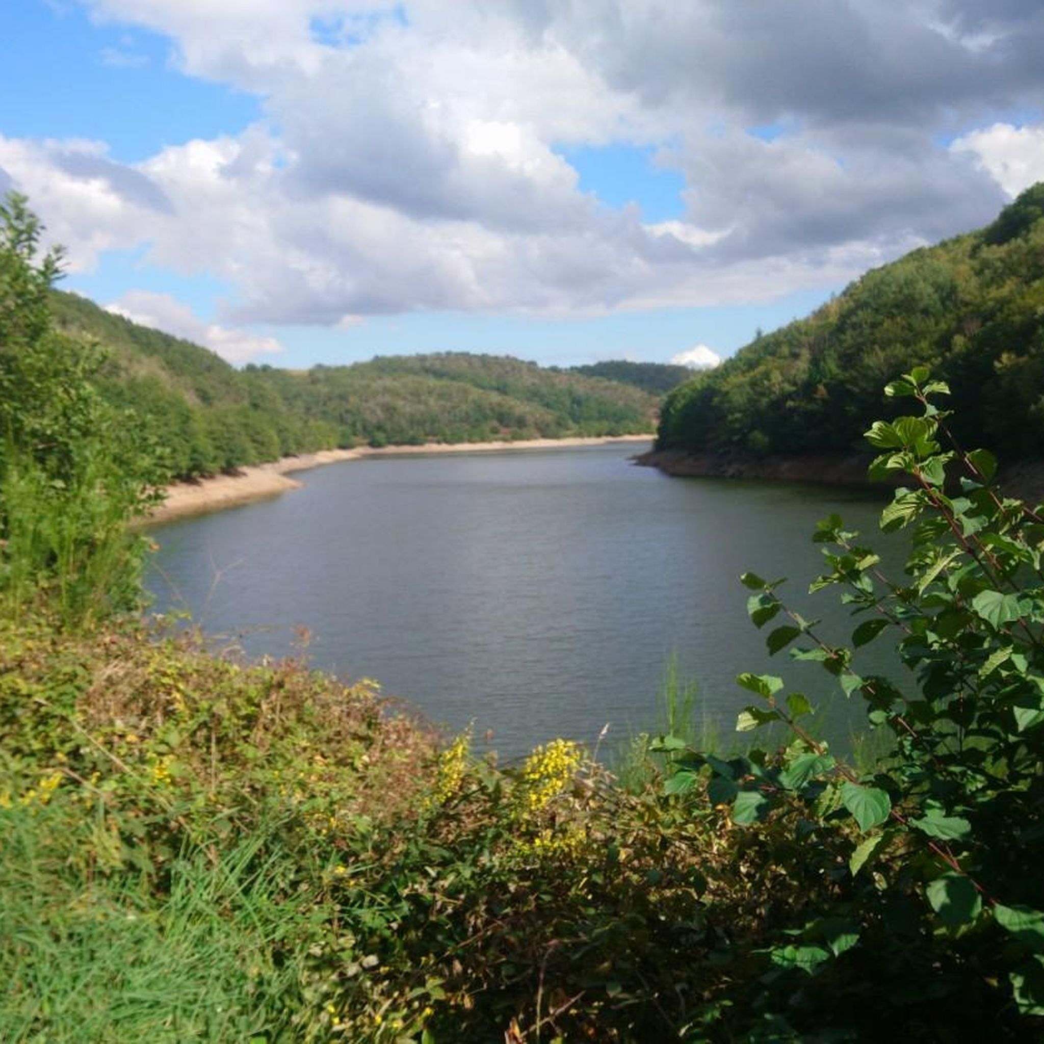
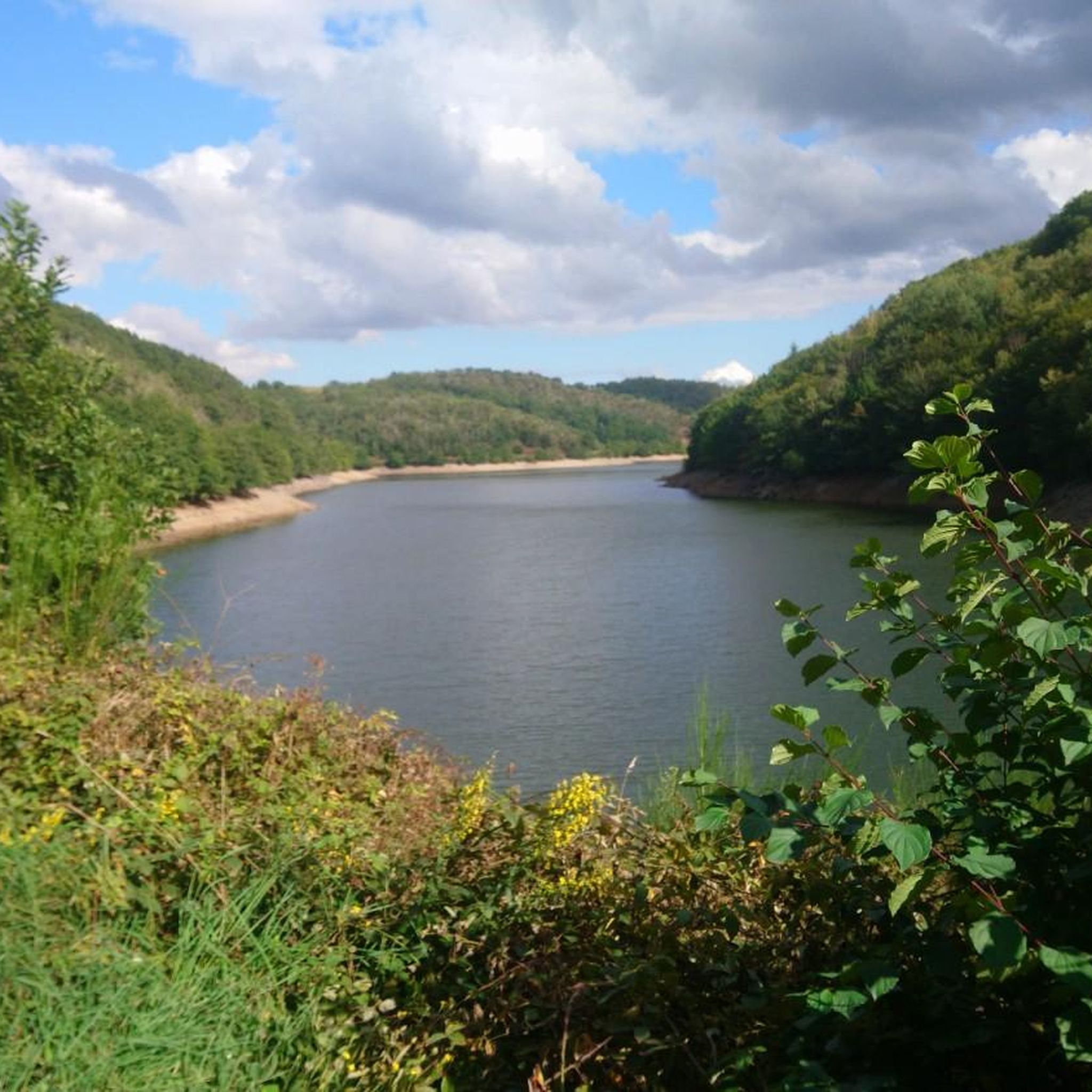
The Sep dam is a 41-metre high structure. It is possible to admire its entire height since a road provides access to it.
2
0

Great for a novice hiker, but take extra water with you when there is a lot of sun
0
0


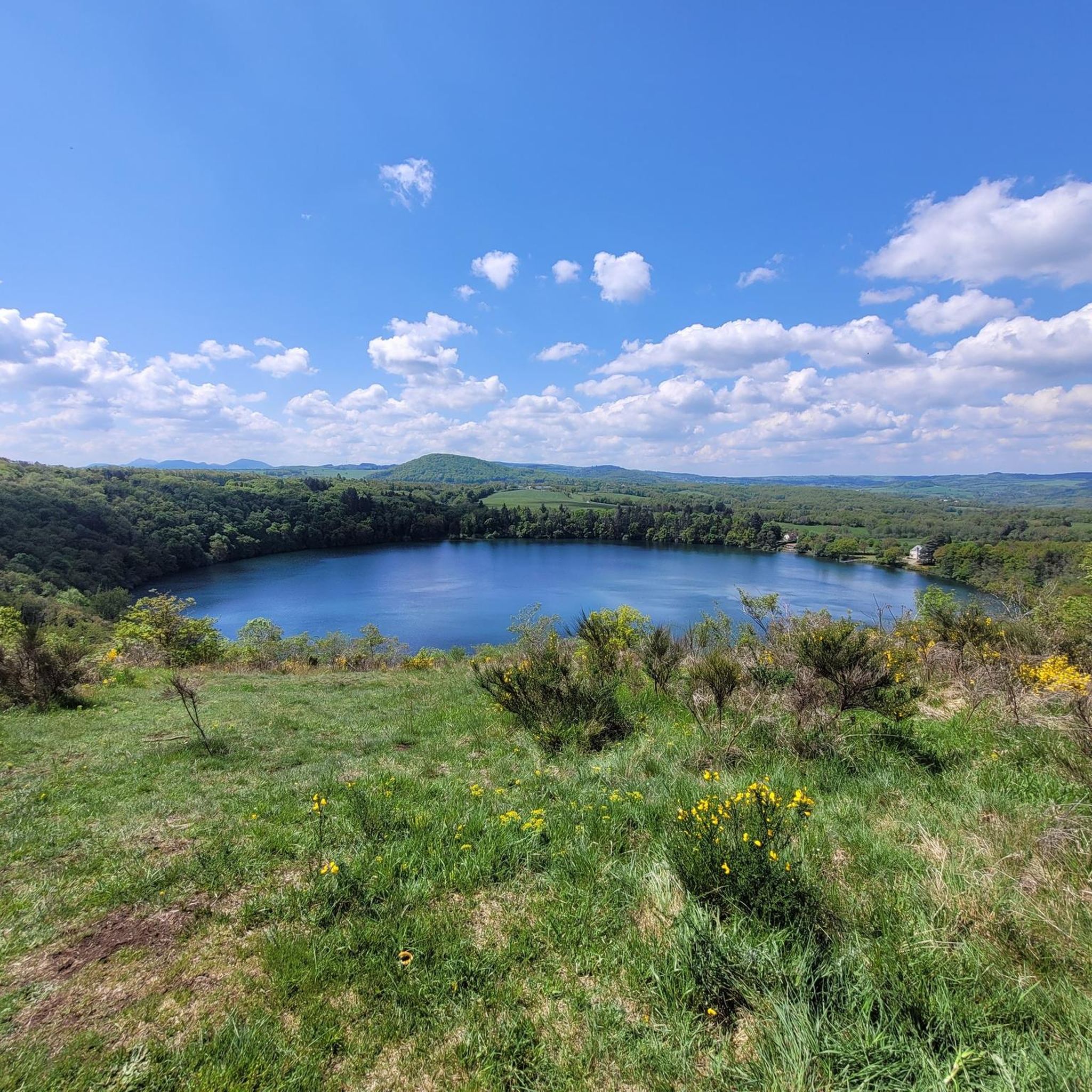
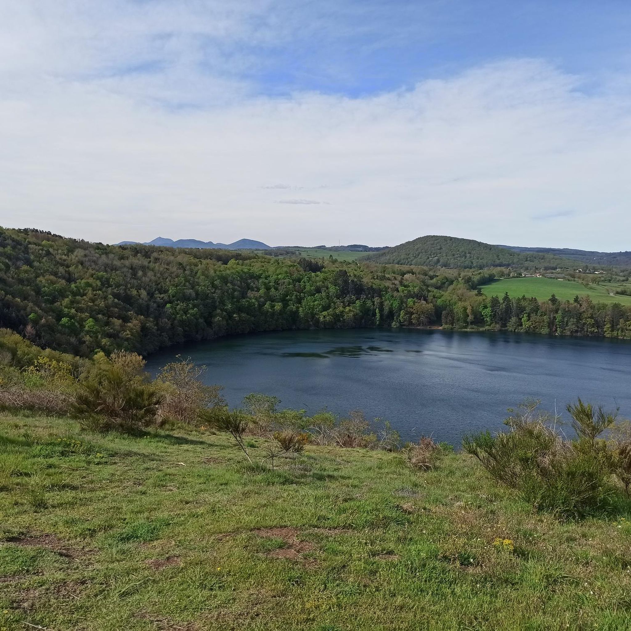
The Gour de Tazenat is a volcanic lake in the department of Pu-de-Dôme. It was formed by a volcanic eruption. You can ride next to the lake.
1
0

Taking a little height on the Côte du Gour allows you to admire this lake of volcanic origin in the north of the Puys chain.
0
0
Frequently Asked Questions
How many hiking trails are available around Saint-Hilaire-La-Croix?
There are over 70 hiking trails in the Saint-Hilaire-La-Croix region, offering a wide range of options for different skill levels and preferences.
Are there easy hiking trails suitable for beginners or families?
Yes, Saint-Hilaire-La-Croix offers many easy routes perfect for beginners and families. For example, the Barrage de la Sep – View of the Lake loop from Barrage de la Sep is an easy 4.4-mile (7.0 km) path that circles the lake, providing scenic views.
Are there options for longer, more challenging hikes?
Absolutely. For those seeking a longer challenge, routes like the Priory of Saint-Hilaire loop from Montcel cover 8.7 miles (14.1 km) and lead through varied countryside, offering a more extended experience.
What kind of natural landscapes can I expect to see while hiking?
The region is characterized by undulating terrain, natural lakes, and rural countryside. You'll encounter bodies of water like Gour de Tazenat and Barrage de la Sep, and trails often wind through green landscapes typical of the French countryside.
Are there any interesting historical sites or landmarks along the trails?
Yes, the area features several points of interest. You can hike past the Priory of Saint-Hilaire, or explore sites like Château-Rocher and the Pont de Menat. The Gour de Tazenat Viewpoint also offers stunning vistas of the volcanic landscape.
What is the best time of year to hike in Saint-Hilaire-La-Croix?
Spring and autumn generally offer the most pleasant hiking conditions with mild temperatures and beautiful scenery. Summer is also popular, though some trails might be warmer. Winter hiking is possible, but conditions can vary, so checking local forecasts is advisable.
Is parking available at trailheads?
Many trailheads in the Saint-Hilaire-La-Croix area, especially those for popular routes, typically offer designated parking areas. It's always a good idea to check specific route details on komoot for parking information before you go.
Can I access hiking trails using public transport?
While some routes might be accessible via local bus services, public transport options can be limited in rural areas like Saint-Hilaire-La-Croix. For many trailheads, personal vehicle access is often the most convenient way to start your hike.
Are dogs allowed on the hiking trails?
Generally, dogs are welcome on most hiking trails in the region, provided they are kept on a leash and owners clean up after them. However, always check for specific signage or local regulations, especially in nature reserves or protected areas.
What do other hikers enjoy the most about hiking in Saint-Hilaire-La-Croix?
The area is highly rated by the komoot community, with an average score of 4.5 stars from over 240 reviews. Hikers often praise the diverse landscapes, from serene lake views to peaceful countryside, and the variety of routes suitable for all abilities.
Are there any circular walks available?
Yes, many of the trails around Saint-Hilaire-La-Croix are designed as circular routes, allowing you to start and end at the same point. Examples include the Gour de Tazenat – View of Gour de Tazenat loop from Charbonnières-les-Vieilles and the Priory of Saint-Hilaire loop from Saint-Hilaire-la-Croix.
What kind of wildlife might I encounter?
The rural and natural environments of Saint-Hilaire-La-Croix are home to various wildlife. You might spot common woodland birds, small mammals, and insects. Near the lakes, waterfowl are often present. Keep an eye out for local flora and fauna as you explore.
Most popular routes around Saint-Hilaire-La-Croix
Most popular attractions around Saint-Hilaire-La-Croix

Get inspired with the komoot mobile app


Explore more
Browse the best Hikes in other regions.
