
The best running trails around Pergain-Taillac
3.8
(17)
262
runners
41
runs
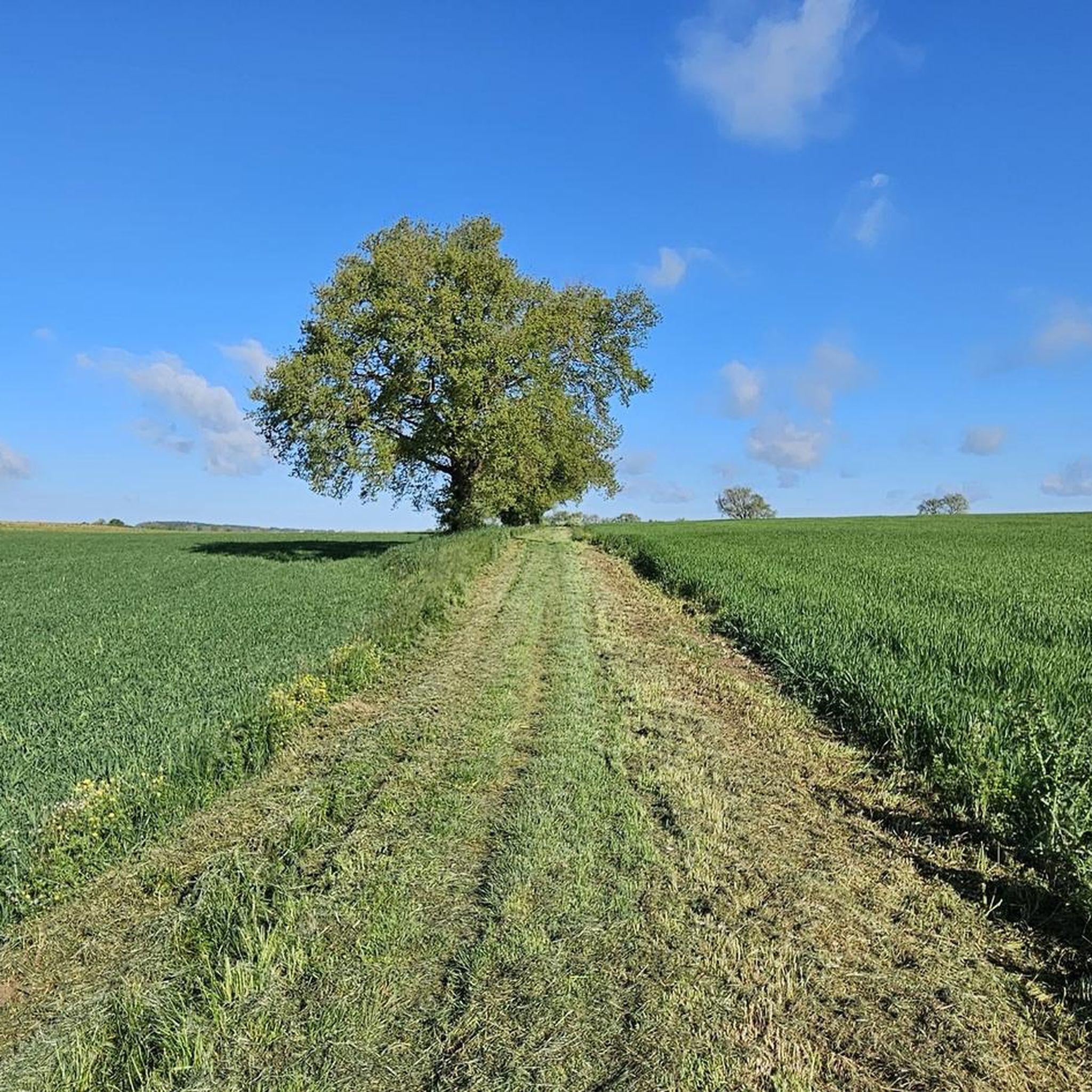
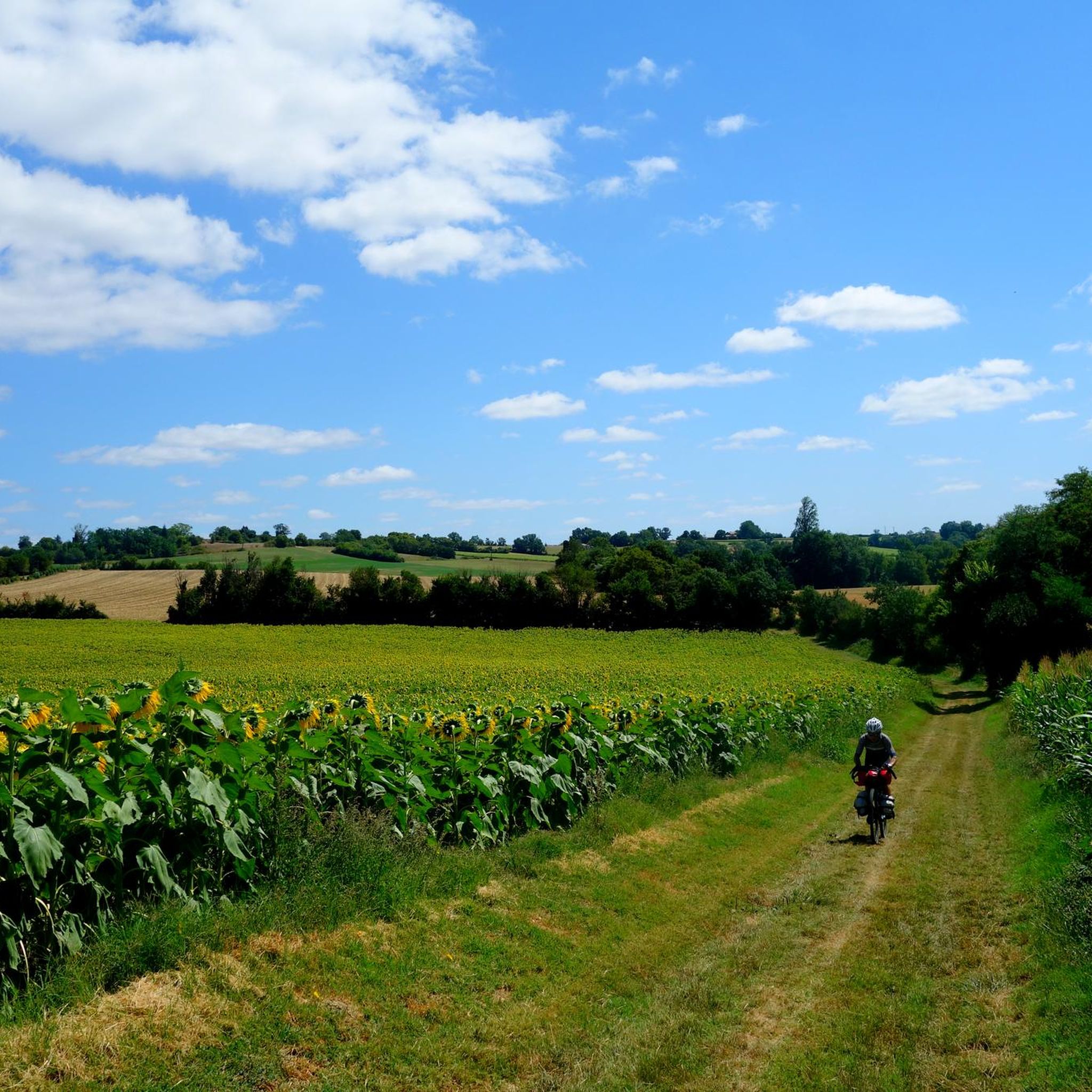
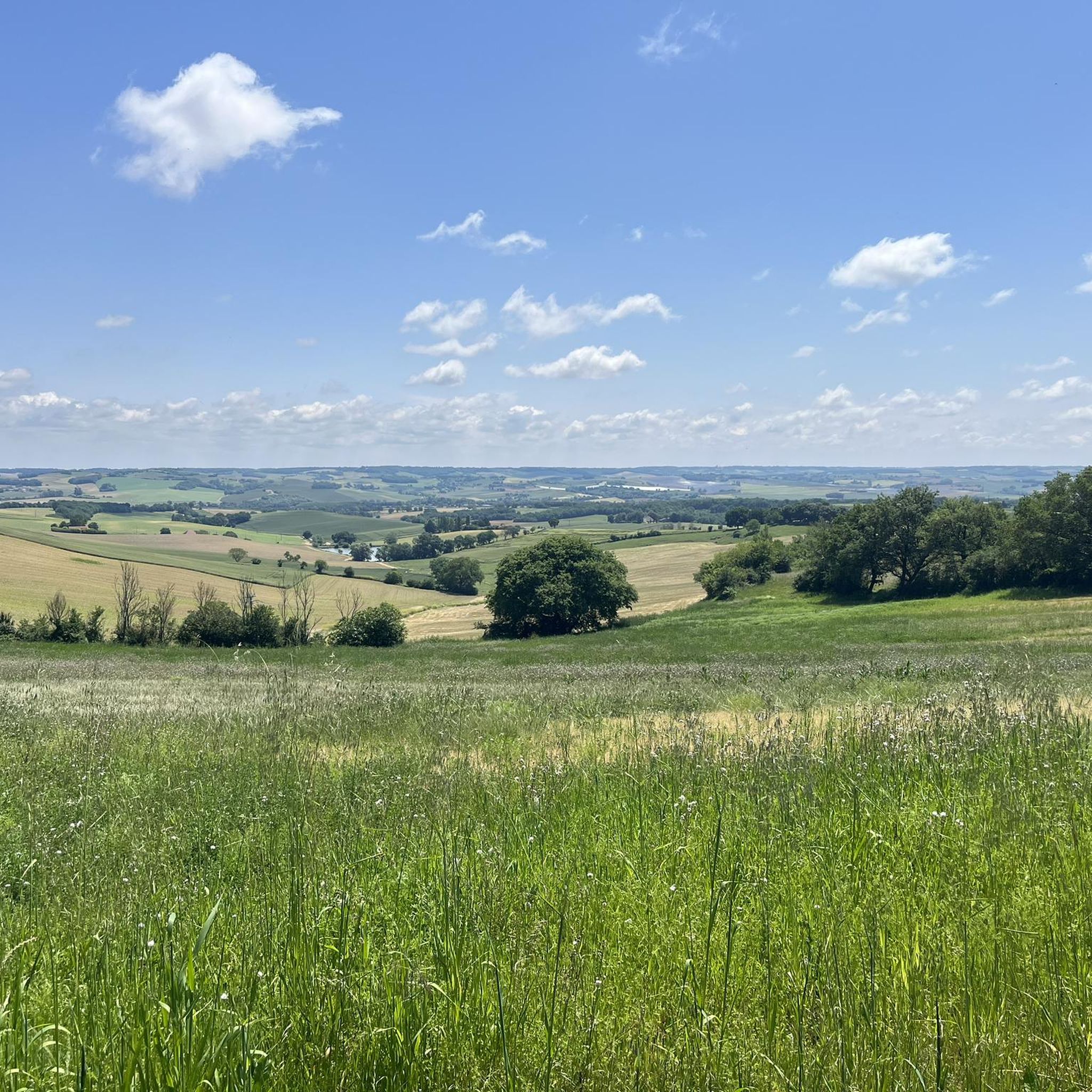
Jogging around Pergain-Taillac offers a variety of routes through the rural landscapes of the region. The terrain typically features gentle rolling hills and open countryside, with some routes incorporating water features like lakes. Elevation changes are generally moderate, making the area suitable for various running abilities. The network of trails provides opportunities to explore the local environment at a comfortable pace.
Best jogging routes around Pergain-Taillac
- The most popular jogging route is Moulin de Cuq loop from Fals, an…
Last updated: August 25, 2026
4.0
(2)
7
runners
7.50km
00:54
110m
110m
Moderate run. Good fitness required. Mostly paved surfaces. Suitable for all skill levels.
10
runners
15.3km
01:51
230m
230m
Hard run. Very good fitness required. Mostly paved surfaces. Suitable for all skill levels.

Sign up for free
4
runners
11.2km
01:12
150m
150m
Moderate run. Good fitness required. Mostly paved surfaces. Suitable for all skill levels.
4
runners
8.24km
00:53
90m
90m
Moderate run. Good fitness required. Mostly paved surfaces. Suitable for all skill levels.
5
runners
9.69km
01:01
110m
110m
Moderate run. Good fitness required. Mostly paved surfaces. Suitable for all skill levels.
Get access to more routes and recommendations from other explorers.
Sign up for free
Already have an account?
Our route recommendations are based on thousands of hikes, rides, and runs completed by other people on komoot.
Start today with a free account
Your next adventure awaits.
Login or Signup
Frequently Asked Questions
How many running routes are available around Pergain-Taillac?
There are over 30 running routes available around Pergain-Taillac, offering a wide range of options for different preferences and fitness levels.
Are there any easy running routes suitable for beginners in Pergain-Taillac?
Yes, Pergain-Taillac offers several easy running routes perfect for beginners. There are 3 routes specifically classified as easy, providing gentle terrain through the rural landscapes. Many of the moderate routes also feature manageable elevation changes.
What kind of terrain can I expect on the jogging trails in Pergain-Taillac?
The jogging trails in Pergain-Taillac primarily feature rural paths and open countryside. You can expect gentle rolling hills and occasional water features like lakes, offering a varied and pleasant running experience.
Are there any long-distance running trails in the Pergain-Taillac area?
Yes, for those looking for longer runs, routes like the Lac de Lambronne loop from Lamontjoie offer a substantial distance of 9.5 miles (15.3 km). This route takes you through lakeside and rural landscapes, ideal for endurance training.
Can I find circular running routes around Pergain-Taillac?
Many of the running routes in the Pergain-Taillac area are circular, allowing you to start and finish at the same point. For example, the popular Moulin de Cuq loop from Fals is an 8.3-mile (13.3 km) circular trail.
What do other runners say about the trails in Pergain-Taillac?
The running trails in Pergain-Taillac are highly rated by the komoot community, with an average score of 3.9 stars from over 10 reviews. Runners often praise the varied terrain, scenic views, and the peaceful rural atmosphere.
Are there any family-friendly running options in Pergain-Taillac?
While specific 'family-friendly' routes aren't explicitly categorized, the 3 easy routes and many of the moderate trails with gentle rolling hills are suitable for families looking for a less strenuous run or walk. Consider routes with shorter distances like the Lac de Lambronne loop from Saint-Vincent-de-Lamontjoie, which is 3.5 miles (5.6 km).
What are some scenic points of interest I might see while running in Pergain-Taillac?
While running in the Pergain-Taillac region, you might encounter charming rural landscapes, open countryside, and tranquil lakes. Nearby attractions include historical sites such as the Cloister of the Collegiate Church of Saint-Pierre in La Romieu or the Château de Madirac, which offer cultural points of interest not far from the trails.
Is it possible to find running routes that pass by water features?
Yes, several running routes in the Pergain-Taillac area incorporate water features. The Lac de Lambronne loop from Lamontjoie is a prime example, leading you through beautiful lakeside and rural landscapes.
What is the best time of year to go running in Pergain-Taillac?
The region's climate generally makes spring and autumn ideal for running, with milder temperatures and pleasant scenery. Summer mornings and evenings can also be very enjoyable, while winter runs are possible, though conditions may vary.
Are there any running routes that start directly from Pergain-Taillac?
Yes, there is a dedicated route that starts directly from the village. The Running loop from Pergain-Taillac is a moderate 6-mile (9.7 km) trail, offering a convenient option for local runners.
How challenging are the running routes in Pergain-Taillac?
The running routes in Pergain-Taillac cater to various abilities. While there are 3 easy routes, the majority (27) are moderate, featuring some elevation changes but generally manageable terrain. There are also 4 more difficult routes for experienced runners seeking a greater challenge.
Most popular attractions around Pergain-Taillac

Get inspired with the komoot mobile app


Explore more
Browse the best Running Trails & Routes in other regions.
