The best walks and hikes around Pergain-Taillac
4.2
(111)
502
hikers
24
hikes
Hiking around Pergain-Taillac offers exploration of green hills, vineyards, and forests within the Occitanie region of southwestern France. The area is characterized by rolling countryside, river valleys, and diverse walking paths. Hikers can experience varied topography, including views of the Pyrenees on clear days, and explore riparian environments along local waterways.
Best hiking trails around Pergain-Taillac
- The most popular hiking route is On the Pilgrim's Route of Saint-Jacques-de-Compostelle, a 4.2 miles (6.7 km) trail that takes 1 hour 53…
Last updated: May 12, 2026
4.6
(18)
62
hikers
6.69km
01:53
140m
140m
Enjoy an easy 4.2-mile hike around Moirax, France, featuring historical sites like the Cluniac priory and rural landscapes.
14
hikers
5.84km
01:36
90m
90m
Easy hike. Great for any fitness level. Easily-accessible paths. Suitable for all skill levels.

Sign up for free
4.7
(3)
8
hikers
8.22km
02:18
160m
160m
Moderate hike. Good fitness required. Easily-accessible paths. Suitable for all skill levels.
5.0
(1)
10
hikers
4.35km
01:14
90m
90m
Easy hike. Great for any fitness level. Easily-accessible paths. Suitable for all skill levels.
Get access to more routes and recommendations from other explorers.
Sign up for free
Already have an account?
Our route recommendations are based on thousands of hikes, rides, and runs completed by other people on komoot.
Start today with a free account
Your next adventure awaits.
Login or Signup
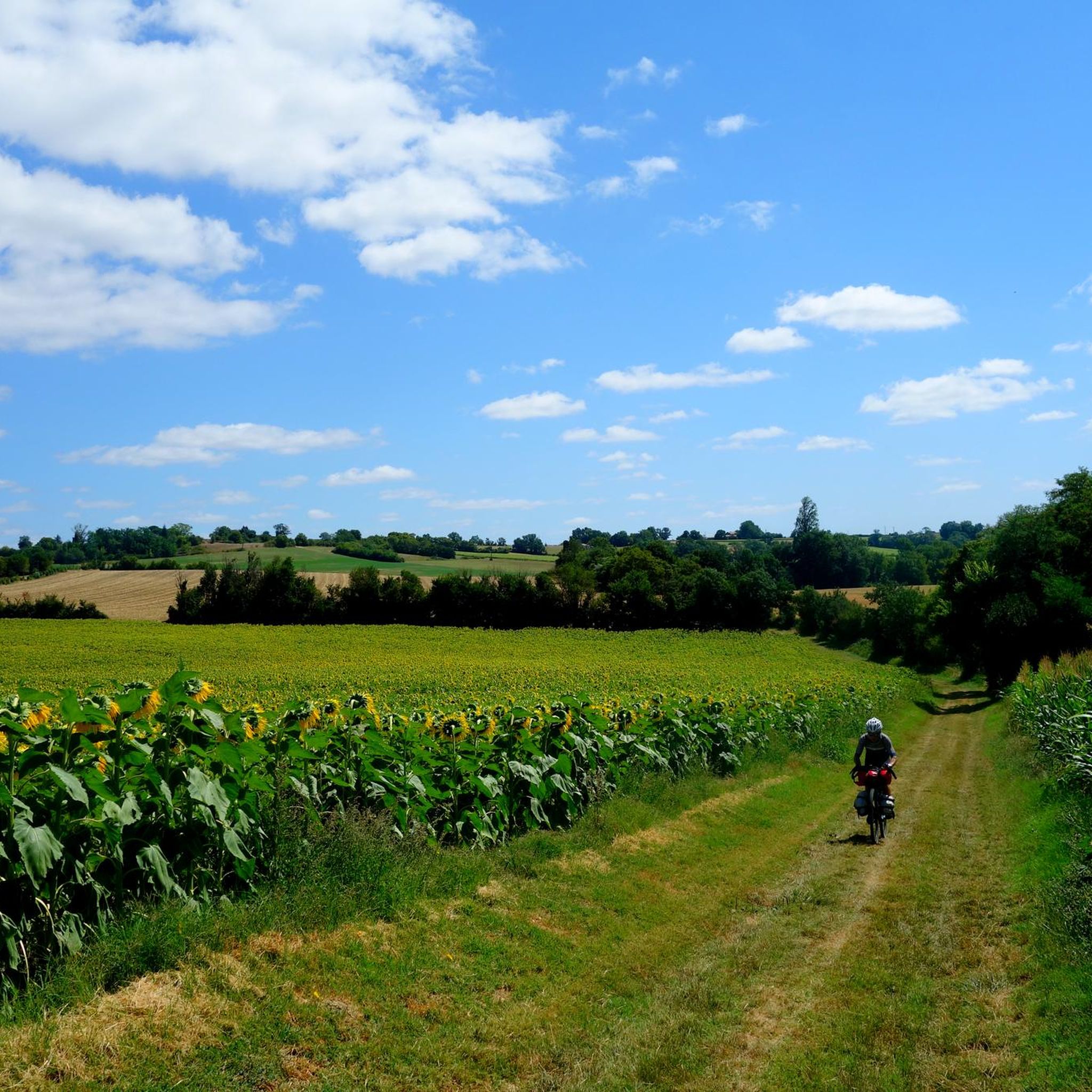
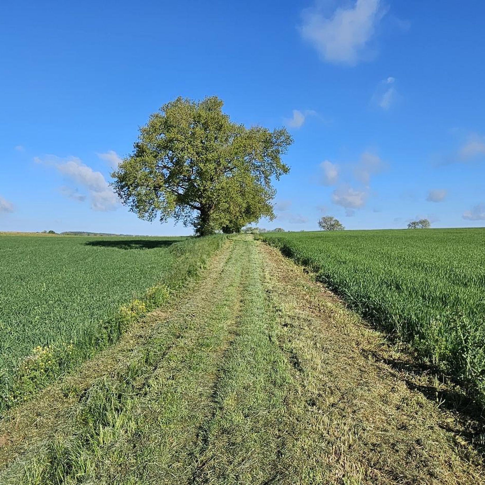
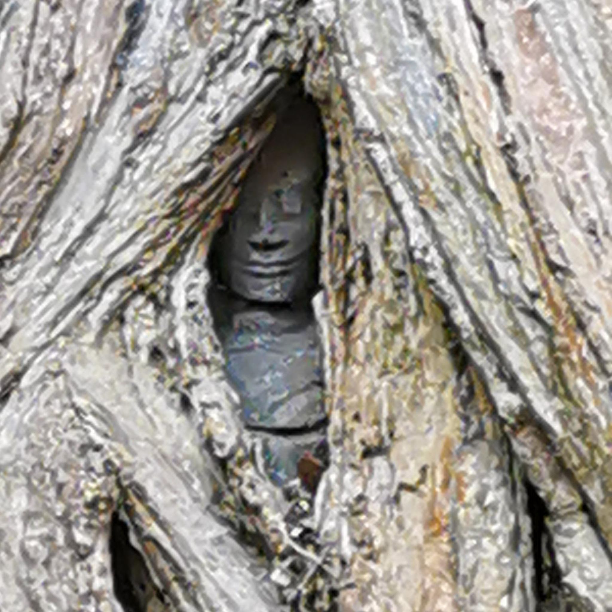

Tips from the Community

During the summer period there is a nice food market on every Thursday from 19:00 till 23:00
0
0

Moirax is located on top of a hill, a few kilometers south of Agen and the Garonne. A medieval village dominated by the Cluniac Priory from the 11th century. A jewel of Romanesque art, the imposing Notre-Dame church remaining from the Priory is a real architectural marvel. It has been perfectly restored and has been listed as a historical monument since 1846.
3
0
Moirax is a commune in the French department Lot-et-Garonne (Nouvelle-Aquitaine region) and has 1061 inhabitants (2005). The place is part of the arrondissement of Agen.
3
0

Moirax is a commune in the south-west of France, located in the department of Lot-et-Garonne.
0
0

This church was a milestone on the way to Santiago de Compostela and a stopover for pilgrims. The land on which it stands was donated by the Viscount of Bruilhois in 1049. Believing that he had failed during his life as a warrior, he wanted to try to save his soul by donating of this land.
3
0


The small village of Moirax is home to the Notre-Dame de Moirax church. It dates back to the 10th century.
1
0
Frequently Asked Questions
How many hiking trails are available around Pergain-Taillac?
There are over 25 hiking routes available around Pergain-Taillac, offering a variety of experiences through green hills, vineyards, and forests. These include 13 easy routes and 12 moderate options.
What kind of landscapes can I expect to see on a hike in Pergain-Taillac?
Hiking in Pergain-Taillac offers diverse landscapes characterized by unspoiled nature, including rolling green hills, vineyards, and forests. You'll also find picturesque villages and opportunities to explore riparian environments along local waterways like the Juncas stream.
Are there easy hiking options for beginners in Pergain-Taillac?
Yes, Pergain-Taillac offers several easy hiking options suitable for beginners. For example, the On the Pilgrim's Route of Saint-Jacques-de-Compostelle is an easy 4.2-mile (6.7 km) trail that follows a historic pilgrimage path.
Are there any long-distance hiking trails near Pergain-Taillac?
Yes, the Pergain-Taillac area is crossed by sections of significant long-distance hiking routes, including parts of the Saint-Jacques de Compostelle paths (GR65, GR654, GR652). These historic pilgrimage routes offer extensive trekking opportunities for those seeking longer excursions.
Can I find circular hiking routes in the Pergain-Taillac area?
Yes, the region offers numerous well-marked circular hiking loops (PR®, GRP®). An example is the Notre-Dame Church of Moirax loop from Moirax, an easy 3.5-mile (5.6 km) path that explores the countryside.
What interesting places can I see while hiking near Pergain-Taillac?
While hiking near Pergain-Taillac, you can explore several interesting sites. These include the historic Collégiale Saint-Pierre de La Romieu and its Cloister, the charming village of La Romieu, and the Notre-Dame Church of Moirax. You might also encounter the Château de Madirac.
Are there hikes with panoramic views in Pergain-Taillac?
Yes, many trails in the Pergain-Taillac area offer rewarding panoramic views. Some routes provide vistas of the valleys and surrounding hills, and on clear days, you can even catch glimpses of the Pyrenees.
What do other hikers say about the trails in Pergain-Taillac?
The hiking routes in Pergain-Taillac are highly rated by the komoot community, with an average score of 4.2 stars from over 100 reviews. Hikers often praise the varied terrain, the rolling hills, vineyards, and forests, and the well-maintained paths.
Are there family-friendly hiking trails in Pergain-Taillac?
Yes, many of the easy routes in Pergain-Taillac are suitable for families. Trails like the Lac de Lambronne loop from Saint-Vincent-de-Lamontjoie, a 2.1-mile (3.3 km) easy trail, offer pleasant walks for all ages.
What is the best time of year to go hiking in Pergain-Taillac?
The region's 'unspoiled nature' with green hills, vineyards, and forests makes spring and autumn particularly pleasant for hiking. During these seasons, the weather is generally mild, and the landscapes are vibrant with either blooming flora or rich autumnal colors.
Can I explore natural features like lakes or streams on these hikes?
Yes, some hiking routes in the area allow you to explore natural features. For instance, a loop heading towards Lamontjoie descends into the valley of the Juncas stream, offering opportunities to experience riparian environments. The Lac de Lambronne loop also takes you around a local lake.
Are there any specific geological walks in the area?
While not directly in Pergain-Taillac, the nearby La Romieu Karst Trail offers a unique geological walk for those interested in the region's natural formations.
Most popular attractions around Pergain-Taillac

Get inspired with the komoot mobile app


Explore more
Browse the best Hikes in other regions.
