The best road cycling routes around Pontamafrey-Montpascal
4.4
(387)
28,296
riders
113
rides
Road cycling around Pontamafrey-Montpascal is characterized by its challenging mountain passes and deep valleys within the Maurienne region of the French Alps. The terrain features significant elevation gains, connecting high-altitude cols with scenic descents. This area offers a network of routes that traverse diverse landscapes, from open alpine vistas to forested sections.
Best road cycling routes around Pontamafrey-Montpascal
- The most popular road cycling route is Glandon/Croix-de-Fer Circuit, a 43.7 miles (70.4 km) trail that takes 4 hours 54 minutes…
Last updated: May 20, 2026
4.9
(55)
4,258
riders
70.4km
04:55
2,410m
2,410m
Challenge yourself on the difficult 43.8-mile road cycling loop to Col de la Croix de Fer from Saint-Jean-de-Maurienne, with 7899 feet of cl

4.9
(51)
3,764
riders
62.8km
04:14
2,050m
2,050m
Hard road ride. Very good fitness required. Mostly well-paved surfaces and easy to ride.

Sign up for free
4.7
(37)
1,917
riders
50.2km
03:11
1,370m
1,370m
Hard road ride. Very good fitness required. Mostly well-paved surfaces and easy to ride.
4.3
(10)
476
riders
37.7km
02:24
1,060m
1,060m
Hard road ride. Very good fitness required. Mostly well-paved surfaces and easy to ride.
4.6
(7)
413
riders
43.7km
02:56
1,430m
1,430m
Hard road ride. Very good fitness required. Mostly well-paved surfaces and easy to ride.
Get access to more routes and recommendations from other explorers.
Sign up for free
Already have an account?
Our route recommendations are based on thousands of hikes, rides, and runs completed by other people on komoot.
Start today with a free account
Your next adventure awaits.
Login or Signup
Popular around Pontamafrey-Montpascal


Other adventures around Pontamafrey-Montpascal

Tips from the Community

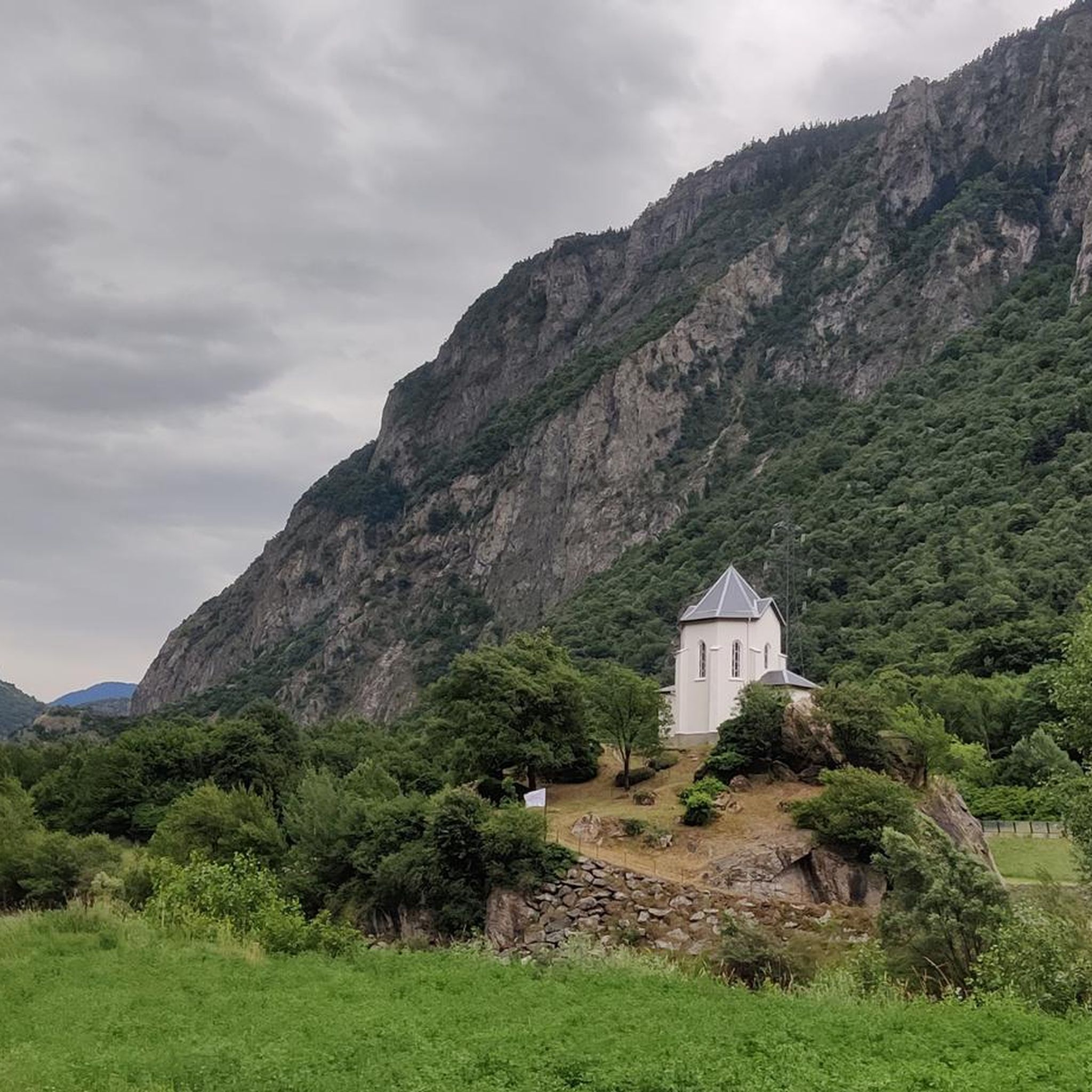
Every cemetery has water... Drinkable or not 😂
0
0


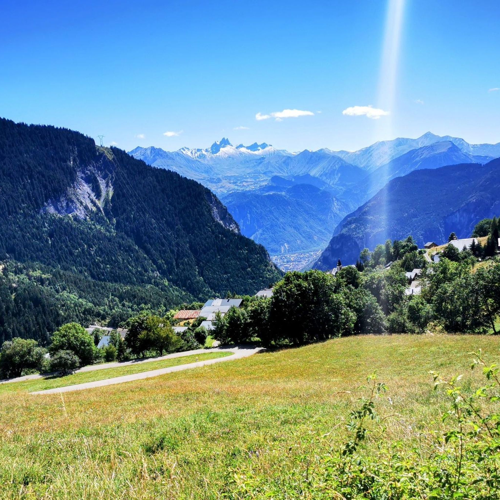
The descent from the Col du Glandon towards the north offers a striking view towards the valley, the Col de la Madeleine and the Mont Blanc massif.
0
0
I was able to take my photos safely in a wide area without disturbing traffic...
0
0

The views at the top of this pass are definitely worth the detour 👍
0
0

Bring gear for the descent to protect against the cold or rain, as was the case for me on the descent from the Croix de Fer. And above all, refill your water bottles in St. Jean de Maurienne because there's no water left before Saint-Sorlin-d'Arves (at least I didn't see any water points) and the climb is very long, about 30 km, to reach the Croix de Fer!
1
0

Water in the cemetery.
0
0

Beautiful views
3
0
Frequently Asked Questions
How many road cycling routes are available around Pontamafrey-Montpascal?
There are over 100 road cycling routes in the Pontamafrey-Montpascal area, offering a wide range of options for different skill levels and preferences.
Are there road cycling routes suitable for beginners or less experienced cyclists in Pontamafrey-Montpascal?
Yes, while the region is known for its challenging terrain, there are 17 easy routes and 37 moderate routes available. These often feature less elevation gain or shorter distances, providing a good introduction to road cycling in the Maurienne valley.
What are some challenging road cycling routes in the region?
The area is renowned for its difficult climbs and mountain passes. Routes like the Tour des Albiez – Itinéraires pour vélo de route en Maurienne or the Traversée du Mollard – Itinéraires pour vélo de route en Maurienne offer significant elevation gains and are popular among experienced riders seeking a demanding challenge.
What is the best time of year for road biking in Pontamafrey-Montpascal?
The best time for road biking in Pontamafrey-Montpascal is typically from late spring to early autumn (May to October). During these months, the weather is generally more stable, and the high mountain passes are usually clear of snow, offering optimal conditions for cycling.
Are there any loop road cycling routes in Pontamafrey-Montpascal?
Yes, many of the routes in the region are designed as loops, allowing you to start and finish in the same location. For example, the Circuit du Chaussy – Itinéraires pour vélo de route en Maurienne is a popular loop that takes you through alpine passes and valleys.
What kind of scenic viewpoints can I expect along the road cycling routes?
The Maurienne region offers breathtaking alpine vistas. You'll encounter numerous scenic viewpoints, including panoramic views from mountain passes like Col du Chaussy and Col de la Madeleine, as well as dramatic perspectives over the valley and the needles of Arves.
What do other road cyclists enjoy the most about road cycling in Pontamafrey-Montpascal?
The area is highly rated by the komoot community, with an average score of 4.5 stars from over 500 reviews. Reviewers often praise the challenging climbs, the stunning alpine scenery, and the well-maintained roads that make for an exceptional cycling experience.
Are there any notable landmarks or attractions to see along the road cycling routes?
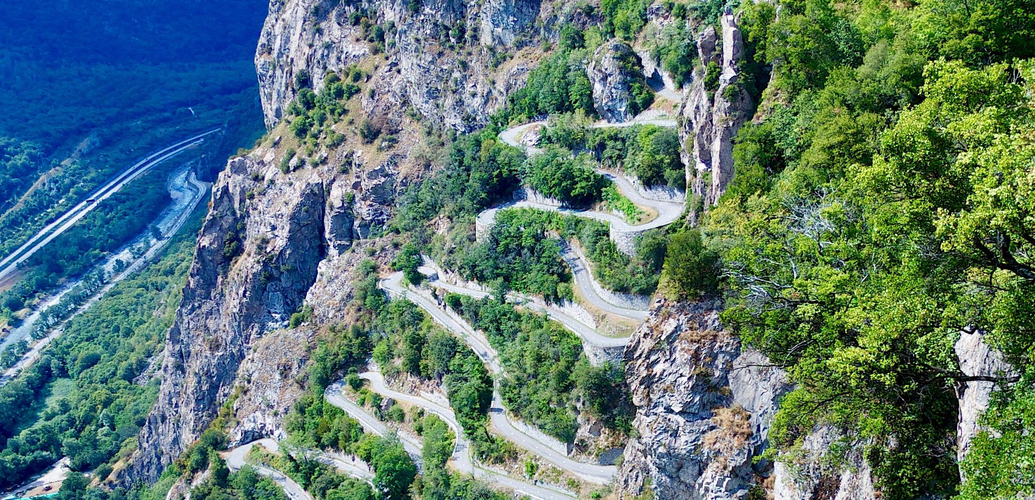
Absolutely. Cyclists can experience iconic features such as the famous Montvernier Hairpins, the challenging Col du Mollard, and the impressive Spectacular Cliffside Road Above Montvernier. These highlights add to the unique character of the rides.
What are the typical durations for road cycling routes in Pontamafrey-Montpascal?
Route durations vary significantly based on distance and elevation gain. While some shorter, easier routes might take a couple of hours, many of the challenging mountain pass circuits, such as the Glandon/Croix-de-Fer Circuit, can take upwards of 4 to 5 hours to complete.
Are there cafes or places to refuel near the road cycling routes?
Yes, the Maurienne valley is accustomed to cyclists. You'll find villages and small towns along many routes where you can stop for coffee, snacks, or a meal. It's always a good idea to check the route details for specific refreshment points, especially on longer or more remote rides.
What are the road conditions like for cycling in Pontamafrey-Montpascal?
The roads in the Maurienne region are generally well-maintained, especially the major routes and mountain passes popular with cyclists. However, as with any alpine region, conditions can vary, and it's advisable to check local weather and road reports, particularly during shoulder seasons, for potential closures or debris.
Where can I find parking for road cycling routes in Pontamafrey-Montpascal?
Parking is typically available in the towns and villages that serve as starting points for many routes. Pontamafrey-Montpascal itself, and nearby larger towns in the Maurienne valley, offer public parking facilities. Always check local signage for any restrictions or fees.
Most popular routes around Pontamafrey-Montpascal
Most popular attractions around Pontamafrey-Montpascal

Get inspired with the komoot mobile app


Explore more
Browse the best Road cycling routes in other regions.
