The best cycling routes around Saint-Martin-De-La-Porte
4.3
(287)
16,688
riders
164
rides
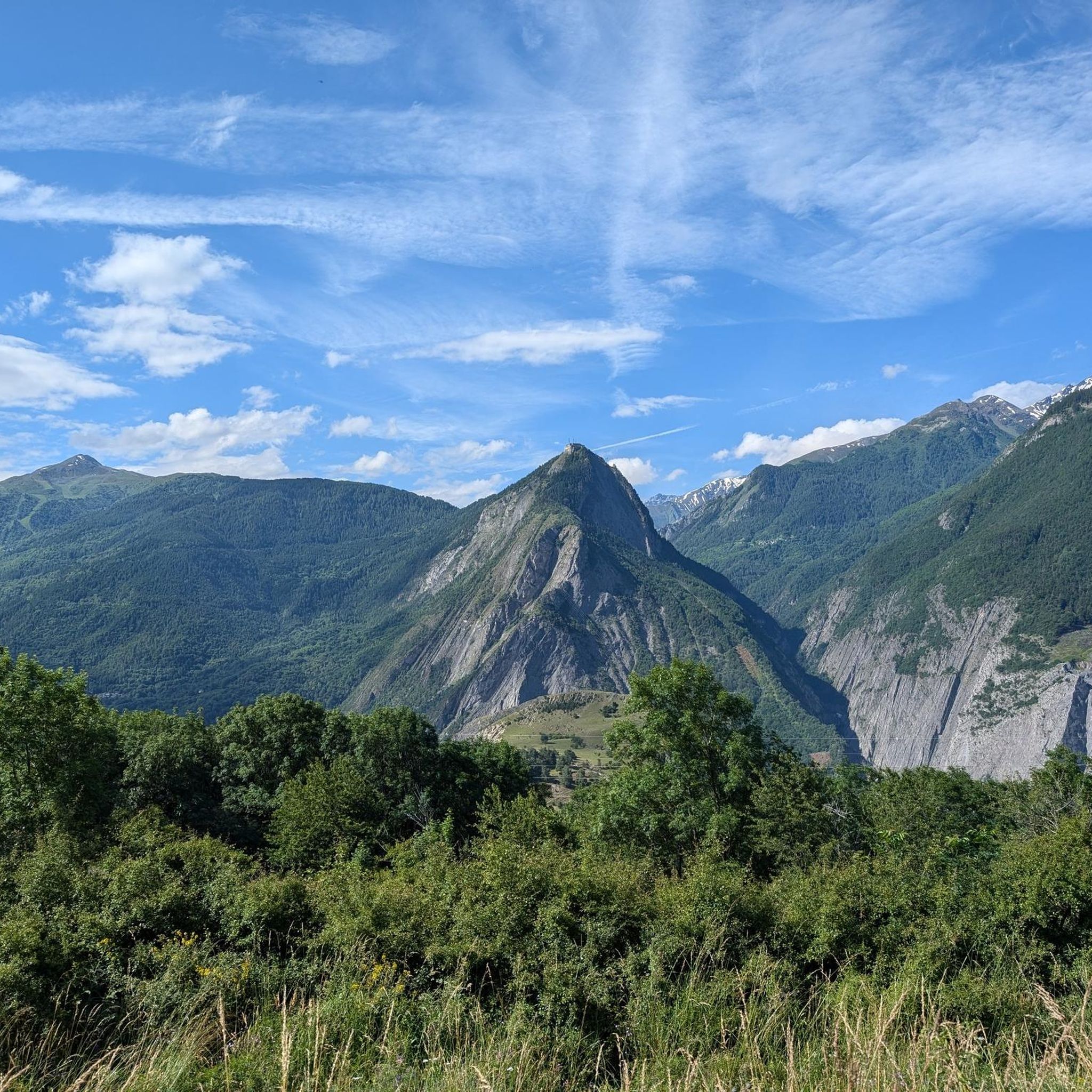
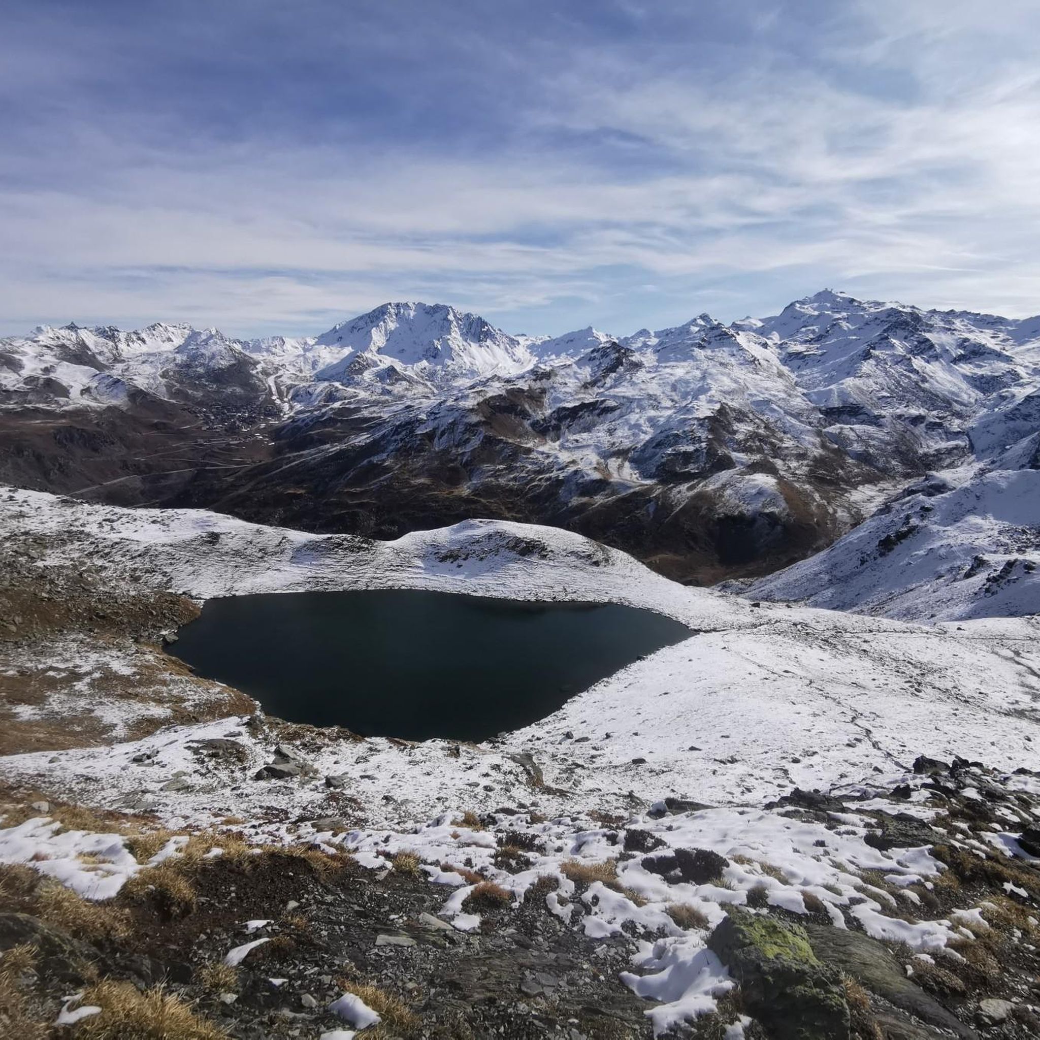
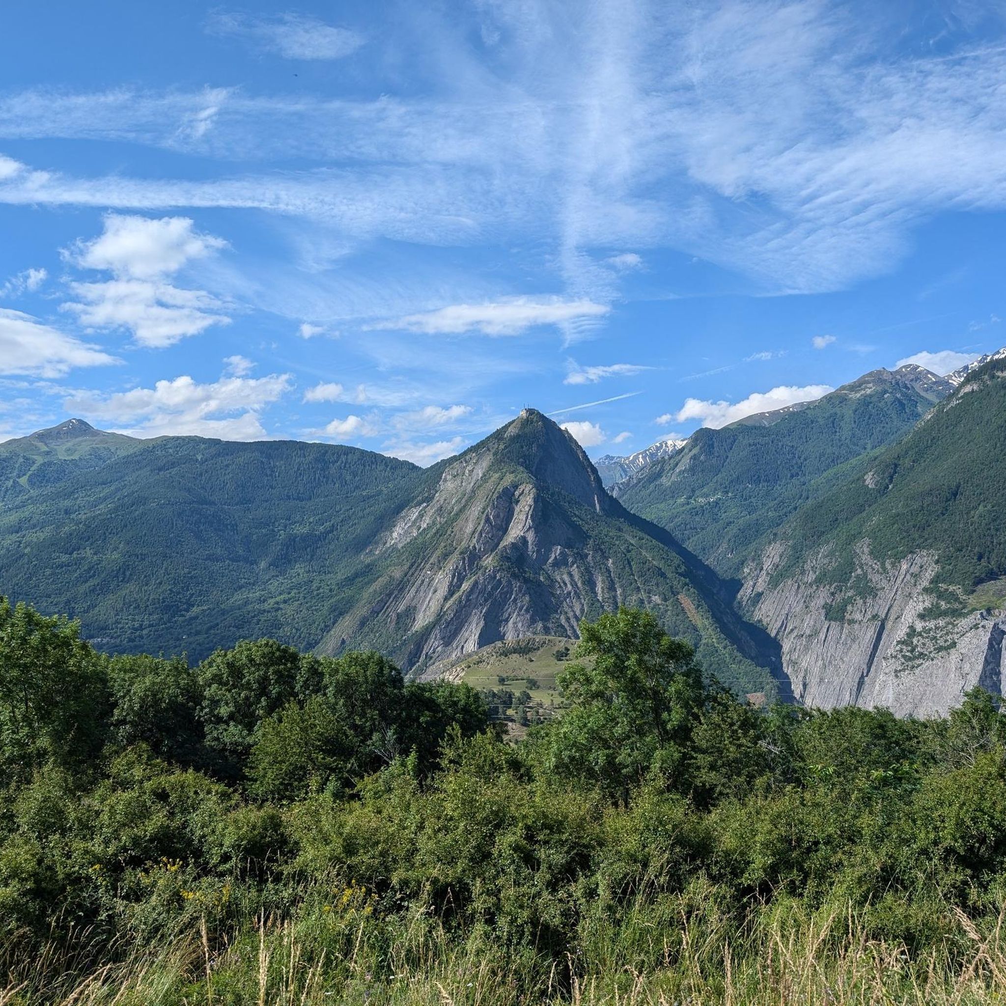
Touring cycling routes around Saint-Martin-De-La-Porte are characterized by mountainous terrain and significant elevation changes within the French Alps. The region's altitude ranges from 655m to 2824m, offering challenging climbs and high-altitude passes. Features like the Maurienne valley and proximity to the Vanoise National Park contribute to a diverse landscape for cycling. This area is known for its demanding ascents, including famous climbs often featured in professional cycling events.
Best touring cycling routes around Saint-Martin-De-La-Porte
- The most popular touring cycling route is Col du Télégraphe, Col du Galibier et Col du Lautaret – Parc national des Écrins, a 53.7 miles (86.5 km) trail that takes 7 hours 13 minutes to complete. This difficult route features multiple high mountain passes and extensive climbing through Alpine scenery.
- Another top favourite among local touring cyclists is Saint-Jean-de-Maurienne – Télégraphe Pass loop from Saint-Michel-de-Maurienne, a moderate 20.8 miles (33.5 km) path. This loop includes a significant ascent to the Col du Télégraphe, offering views of the Maurienne valley.
- Local touring cyclists also love the Télégraphe Pass – Mollard Pass loop from Saint-Michel - Valloire, a 47.3 miles (76.2 km) trail leading through high-altitude passes, often completed in about 5 hours 41 minutes. This difficult route combines two challenging climbs in the region.
- Touring cycling around Saint-Martin-De-La-Porte is defined by mountainous terrain, high-altitude passes, and challenging climbs. The network offers options for easy, moderate, and difficult routes, catering to various ability levels.
- The routes in Saint-Martin-De-La-Porte are highly rated by the komoot community with an average score of 4.2 stars from over 300 reviews. More than 20,000 touring cyclists have used komoot to explore Saint-Martin-De-La-Porte's varied terrain.
Last updated: July 1, 2026
4.7
(26)
1,727
riders
86.5km
07:13
2,850m
2,850m
Hard bike ride. Very good fitness required. Mostly paved surfaces. Suitable for all skill levels.
4.5
(2)
355
riders
87.3km
06:59
2,550m
2,550m
Hard bike ride. Very good fitness required. Mostly paved surfaces. Suitable for all skill levels.

Sign up for free
3.0
(1)
211
riders
94.3km
07:04
2,310m
2,310m
Hard bike ride. Very good fitness required. Mostly paved surfaces. Suitable for all skill levels.
3.8
(5)
89
riders
Hard bike ride. Very good fitness required. Mostly paved surfaces. Suitable for all skill levels.
4.5
(8)
64
riders
Hard bike ride. Very good fitness required. Mostly paved surfaces. Suitable for all skill levels.
Get access to more routes and recommendations from other explorers.
Sign up for free
Already have an account?
Our route recommendations are based on thousands of hikes, rides, and runs completed by other people on komoot.
Start today with a free account
Your next adventure awaits.
Login or Signup
Popular around Saint-Martin-De-La-Porte

Tips from the Community

Great mountain view, nice descent.
2
0
Grandiose ascent on the D110, great view at the pass.
2
0
Interesting museum. I wasn't in the museum itself, but I like browsing the shop, I usually find something.
2
0
of course it goes up here to the passes. Nearby a drinking water spot.
2
0
Great eye-catcher for the place.
2
0
Great bakery, snacks, salads, small breakfast. I planned this again and again in the coming days.
2
0
Imposing tower in the center.
2
0
Frequently Asked Questions
How many touring cycling routes are available around Saint-Martin-De-La-Porte?
There are over 160 touring cycling routes around Saint-Martin-De-La-Porte. The region is known for its mountainous terrain, offering a wide range of options from easy to very challenging rides.
What is the general difficulty level of touring cycling routes in this area?
The touring cycling routes around Saint-Martin-De-La-Porte are predominantly challenging, with 117 routes classified as difficult. There are also 37 moderate routes and 11 easier options, catering to various skill levels. The region's altitude, ranging from 655m to 2824m, ensures significant elevation changes on most tours.
Are there any family-friendly or easy touring cycling routes in Saint-Martin-De-La-Porte?
While the region is known for its demanding ascents, there are 11 easy touring cycling routes available. These routes offer a less strenuous experience, suitable for families or those looking for a more relaxed ride amidst the stunning Alpine scenery.
What are some notable landmarks or natural features to see along the cycling routes?
The region offers several iconic landmarks and natural features. You can cycle past the famous Col du Télégraphe, tackle the challenging Montvernier Hairpins, or explore routes that lead to the Col du Chaussy. The area is also close to the Vanoise National Park, offering pristine mountain environments.
Are there any circular touring cycling routes available?
Yes, there are several circular touring cycling routes. For example, the moderate Saint-Jean-de-Maurienne – Télégraphe Pass loop from Saint-Michel-de-Maurienne offers a significant ascent to the Col du Télégraphe. Another challenging option is the Télégraphe Pass – Mollard Pass loop from Saint-Michel - Valloire, combining two major climbs.
What is the best time of year for touring cycling in Saint-Martin-De-La-Porte?
The best time for touring cycling in Saint-Martin-De-La-Porte is typically during the warmer months, from late spring to early autumn. During this period, the high mountain passes are generally clear of snow, and the weather conditions are more favorable for tackling the challenging climbs and enjoying the Alpine scenery.
What do other touring cyclists say about the routes in Saint-Martin-De-La-Porte?
The touring cycling routes in Saint-Martin-De-La-Porte are highly rated by the komoot community, with an average score of 4.2 stars from over 300 reviews. Cyclists often praise the challenging climbs, the stunning mountainous landscapes, and the well-maintained paths that lead to iconic passes.
Is public transport available to access touring cycling routes in the Maurienne valley?
Public transport options in the Maurienne valley can vary. While specific bus services might operate to certain villages, accessing the starting points of many high-altitude routes often requires personal transport or a dedicated shuttle service, especially for routes deep within the mountains.
Where can cyclists park their vehicles when starting a tour?
Parking for cyclists is generally available in the towns and villages around Saint-Martin-De-La-Porte and the Maurienne valley, such as Saint-Michel-de-Maurienne or Saint-Jean-de-Maurienne. Look for designated parking areas, especially near popular starting points for major climbs.
Are there any famous climbs in the region that touring cyclists can tackle?
Absolutely. Saint-Martin-De-La-Porte is situated in a region famous for its challenging climbs, many of which have been featured in the Tour de France. Notable ascents include the Montvernier Hairpins, the Col du Télégraphe, and the Col du Chaussy. Many routes combine these iconic passes, such as the difficult Col du Télégraphe, Col du Galibier et Col du Lautaret – Parc national des Écrins.
What kind of terrain can I expect on touring cycling routes in Saint-Martin-De-La-Porte?
You can expect predominantly mountainous terrain with significant elevation changes. The routes traverse the French Alps, featuring challenging ascents to high-altitude passes, winding roads through valleys, and breathtaking panoramic views. The landscape is diverse, ranging from forested sections to exposed alpine environments.
Are there options for longer, more challenging multi-pass routes?
Yes, the region is ideal for multi-pass routes. The difficult Col du Télégraphe, Col du Galibier et Col du Lautaret – Parc national des Écrins is a prime example, covering 86.5 km and featuring extensive climbing through multiple high mountain passes. Another challenging option is the Col du Mollard – Mollard Pass loop from Saint-Michel - Valloire.
Most popular routes around Saint-Martin-De-La-Porte
Most popular attractions around Saint-Martin-De-La-Porte

Get inspired with the komoot mobile app


Explore more
Browse the best Cycling routes in other regions.
