The best road cycling routes around Saint-Martin-De-La-Porte
4.4
(638)
41,795
riders
112
rides
Road cycling routes around Saint-Martin-De-La-Porte are characterized by significant alpine terrain, featuring high mountain passes and deep valleys. The region is situated in the Maurienne valley, offering challenging ascents and descents through a mountainous landscape. Road cyclists can expect routes with substantial elevation gains and panoramic views of the surrounding peaks. The area provides a network of roads suitable for advanced road cycling routes, often involving long climbs.
Best road cycling routes around Saint-Martin-De-La-Porte
- The most popular road cycling route…
Last updated: July 1, 2026
4.8
(56)
4,531
riders
70.8km
04:51
2,410m
2,410m
Hard road ride. Very good fitness required. Mostly well-paved surfaces and easy to ride.
4.9
(14)
1,343
riders
155km
09:58
4,650m
4,650m
Hard road ride. Very good fitness required. Mostly well-paved surfaces and easy to ride.

Sign up for free
4.7
(14)
1,167
riders
147km
07:52
2,870m
2,870m
Hard road ride. Very good fitness required. Mostly well-paved surfaces and easy to ride.
4.6
(25)
939
riders
50.4km
02:57
1,180m
1,180m
Hard road ride. Very good fitness required. Mostly well-paved surfaces and easy to ride.
3.7
(3)
120
riders
46.4km
03:10
1,560m
1,560m
Hard road ride. Very good fitness required. Mostly well-paved surfaces and easy to ride.
Get access to more routes and recommendations from other explorers.
Sign up for free
Already have an account?
Our route recommendations are based on thousands of hikes, rides, and runs completed by other people on komoot.
Start today with a free account
Your next adventure awaits.
Login or Signup
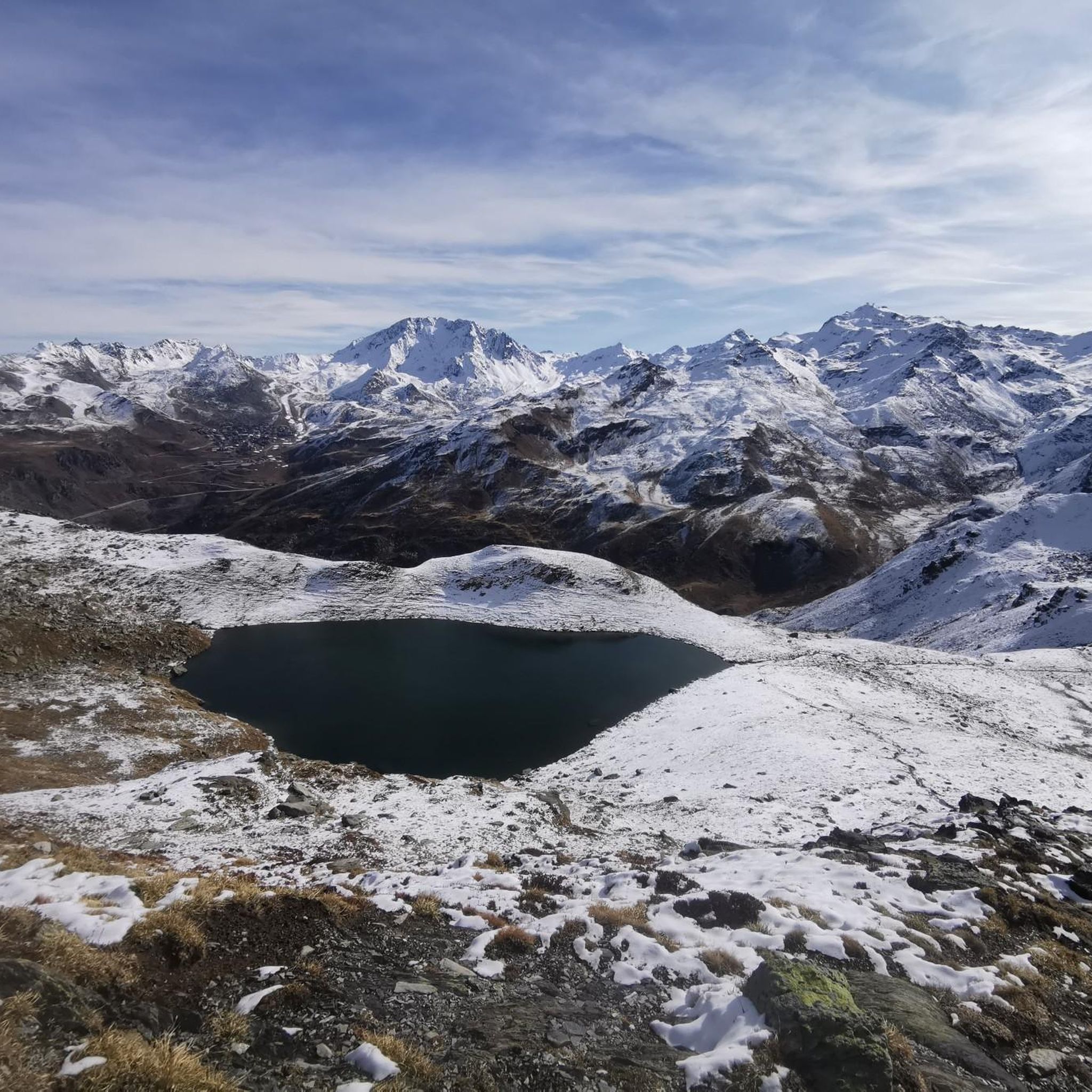
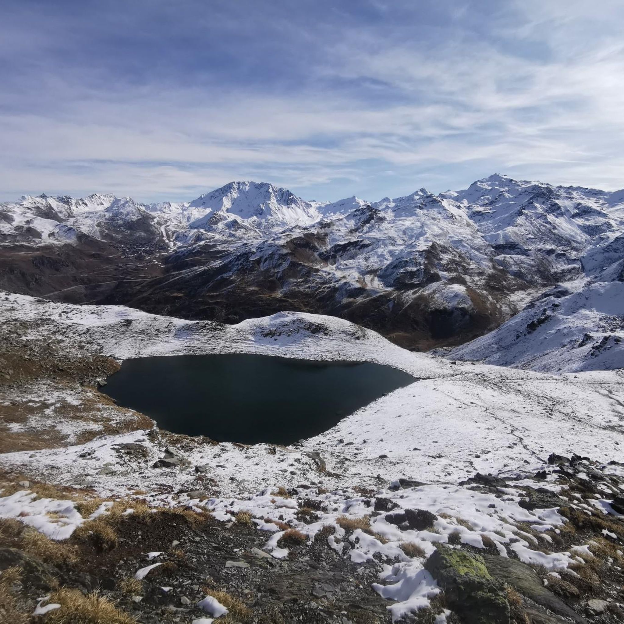
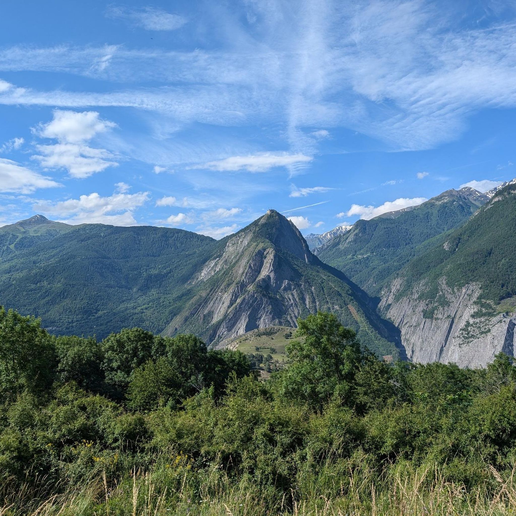
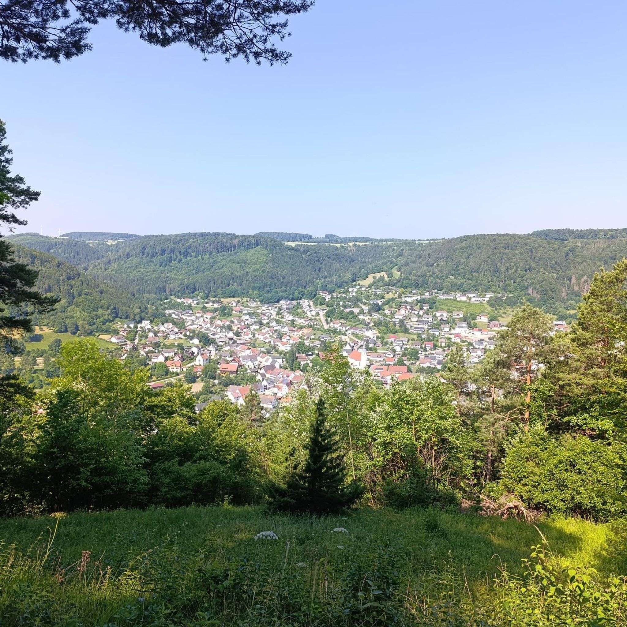

Tips from the Community

Great view of the Victor Emmanuel fortress as part of a chain of fortifications.
1
0
Beautiful view of Fort Victor Emmanuel.
2
0
For me, always as a descent so far.
0
0


Even more beautiful downhill
3
0


A fantastic mountain, making this climb was very challenging, the asphalt is in excellent condition and the gradients are regular.
14
0
Beautiful, very welcoming town.
18
0
Frequently Asked Questions
What kind of road cycling routes can I expect around Saint-Martin-De-La-Porte?
Road cycling in this region is defined by significant alpine terrain, featuring high mountain passes and deep valleys within the Maurienne valley. You'll encounter challenging ascents and descents, often with substantial elevation gains, offering panoramic views of the surrounding peaks. The area is particularly well-suited for advanced road cycling routes involving long climbs.
Are there any easy road cycling routes for beginners or families?
While the region is known for its challenging alpine routes, there are approximately 14 routes classified as easy. These routes typically feature less extreme elevation changes compared to the high mountain passes, making them more accessible for beginners or those looking for a more relaxed ride. However, always check the route details for specific difficulty and elevation profiles.
How long do road cycling routes typically take in Saint-Martin-De-La-Porte?
Route durations vary significantly based on distance, elevation, and your cycling pace. For example, the Col du Galibier – Itinéraires pour vélo de route en Maurienne is a 44-mile (70.8 km) route that typically takes around 4 hours 50 minutes. Longer routes, like the Col du Télégraphe – Col du Galibier loop from Saint-Michel - Valloire, can take nearly 10 hours to complete.
What are some of the most challenging road cycling routes in the area?
The region is renowned for its difficult routes, often featuring iconic mountain passes. The Col du Galibier – Itinéraires pour vélo de route en Maurienne is a popular difficult route. Another challenging option is the Magnifique vue – La Chambre loop from Saint-Julien-Mont-Denis, offering extensive views across the mountainous landscape.
Are there any circular road cycling routes available?
Yes, several routes are designed as loops, allowing you to start and finish in the same location. A notable example is the Col du Télégraphe – Col du Galibier loop from Saint-Michel - Valloire, which takes you through high mountain passes. Another is the Magnifique vue – La Chambre loop from Saint-Julien-Mont-Denis.
What are the best times of year for road cycling in Saint-Martin-De-La-Porte?
Due to the high alpine nature of the region, the best time for road cycling is typically from late spring (June) through early autumn (September). During these months, the high mountain passes are generally clear of snow, and the weather is more stable. Always check local weather forecasts and pass conditions before heading out, especially early or late in the season.
What kind of scenic viewpoints can I expect along the routes?
The road cycling routes in Saint-Martin-De-La-Porte offer breathtaking panoramic views of the surrounding peaks and the Maurienne valley. Many routes traverse high mountain passes, providing expansive vistas. Specific highlights include the views from Col du Télégraphe and the dramatic Montvernier Hairpins.
Are there places to stop for refreshments or food along the road cycling routes?
Many of the villages and towns within the Maurienne valley, such as Saint-Michel-de-Maurienne or Valloire, offer various amenities including cafes, restaurants, and shops where you can refuel. While some high mountain passes might have limited options, planning your route through these villages ensures opportunities for breaks and refreshments.
What do other road cyclists say about the routes in Saint-Martin-De-La-Porte?
The road cycling routes around Saint-Martin-De-La-Porte are highly rated by the komoot community, with an average score of 4.5 stars from over 500 reviews. Cyclists frequently praise the challenging climbs, the stunning alpine scenery, and the well-maintained roads that make for an exceptional cycling experience.
Are there any notable landmarks or attractions to see while road cycling?
Yes, the region is rich in natural and cycling-related landmarks. You can cycle past iconic mountain passes like Col du Télégraphe and Col du Chaussy. Additionally, there are beautiful lakes such as Lac du Lou and Lac Vert that can be incorporated into or viewed from some routes.
How many road cycling routes are available in the Saint-Martin-De-La-Porte area?
There are over 90 road cycling routes available around Saint-Martin-De-La-Porte, catering to various skill levels. This includes a significant number of difficult routes for experienced cyclists, as well as moderate and some easier options.
Is public transport available to access road cycling routes?
Saint-Martin-De-La-Porte is located in the Maurienne valley, which has train stations in towns like Saint-Michel-de-Maurienne. These stations can serve as starting points for various routes, including the Col du Télégraphe – Col du Galibier loop from Saint-Michel - Valloire. Check local transport schedules for specific connections and bike carriage policies.
Most popular routes around Saint-Martin-De-La-Porte
Most popular attractions around Saint-Martin-De-La-Porte

Get inspired with the komoot mobile app


Explore more
Browse the best Road cycling routes in other regions.
