The best road cycling routes around Sollières-Sardières
4.6
(110)
7,168
riders
37
rides
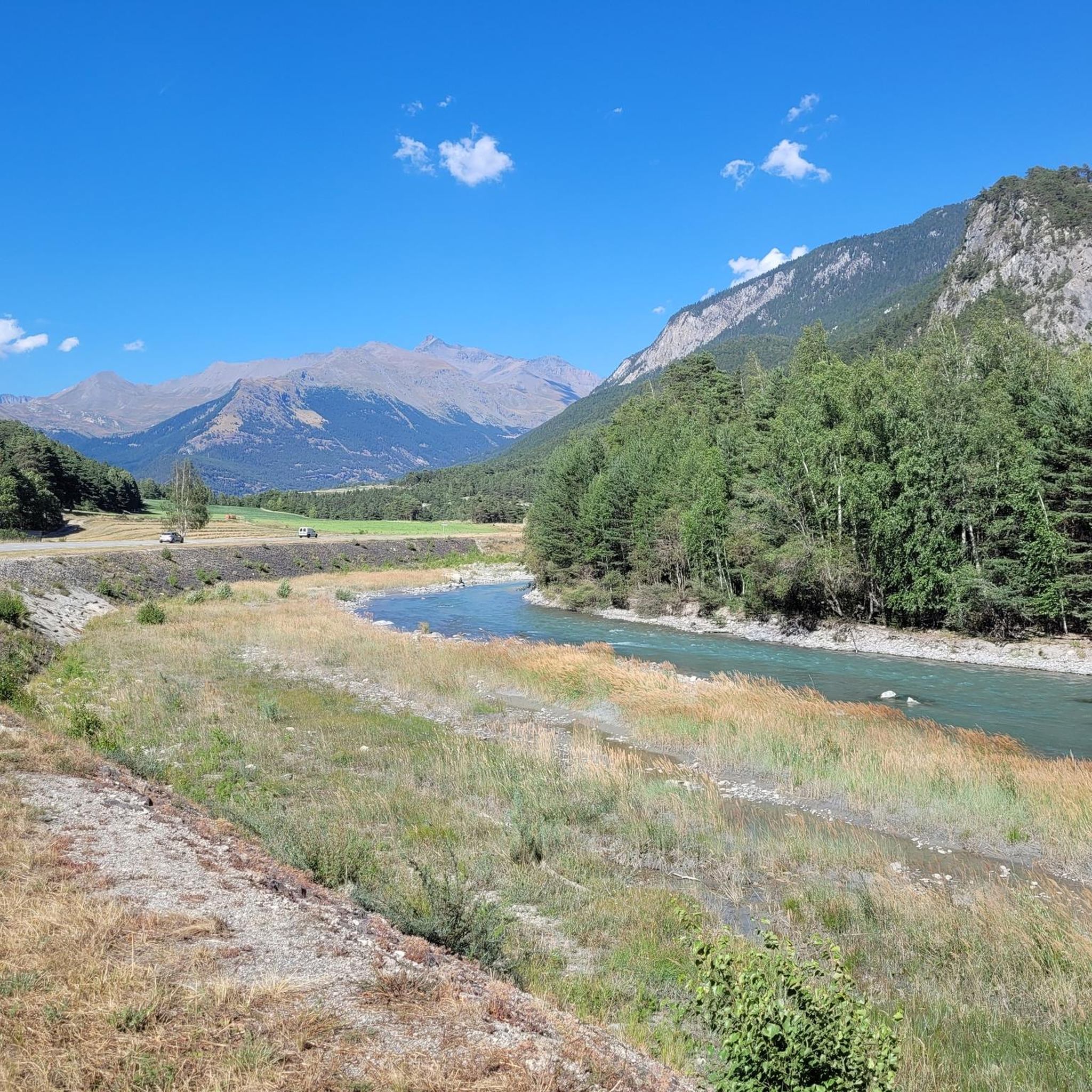
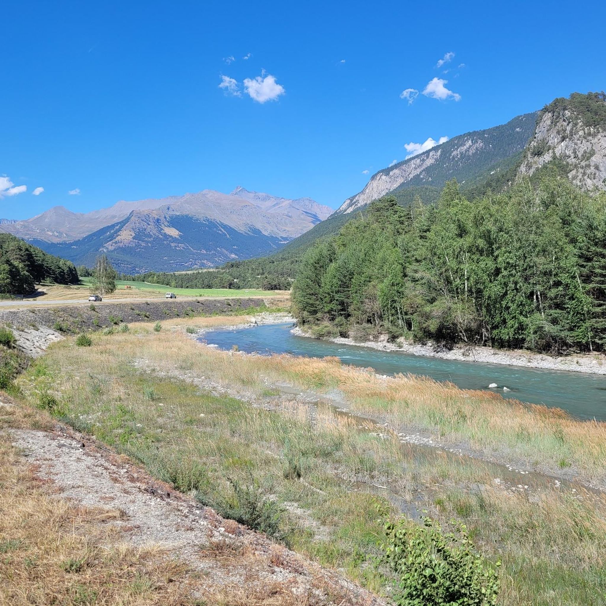
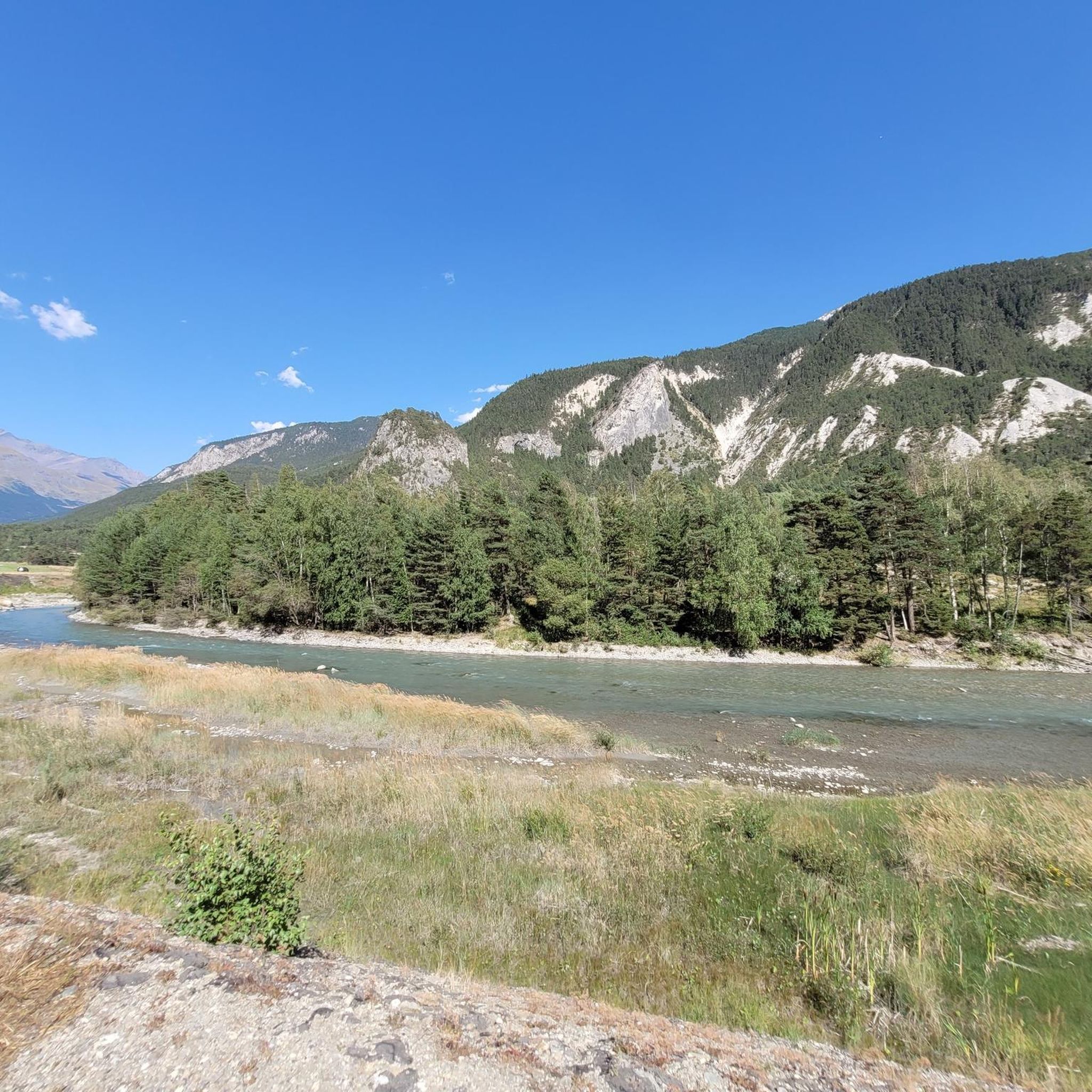
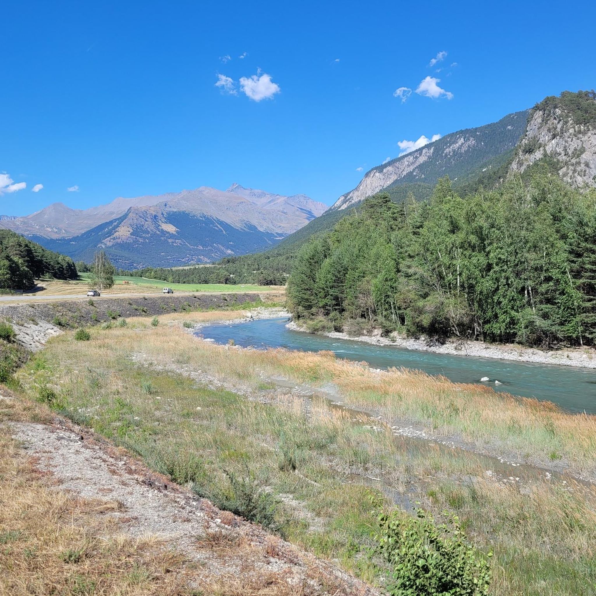
Road cycling routes around Sollières-Sardières are situated in the upper Maurienne valley, within the French Alps, bordering the Vanoise National Park. The terrain features diverse landscapes, including challenging mountain passes and alpine lakes. Road cyclists can expect significant elevation changes and routes that traverse both paved surfaces and high-altitude areas.
Best road cycling routes around Sollières-Sardières
- The most popular road cycling route is Montée de Plan du Lac – Itinéraires pour vélo de route en Maurienne, a 9.7 miles (15.7 km) trail that takes 2 hours 7 minutes to complete. This difficult route features significant elevation gain through the Maurienne valley.
- Another top favourite among local road cyclists is Lanslebourg – Pyramid Chapel of Mont Cenis loop from Termignon, a difficult 25.9 miles (41.7 km) path. This route offers views of the Mont Cenis massif and surrounding alpine scenery.
- Local road cyclists also love the Lanslebourg – Mont Cenis Pass loop from Sollières-Sardières, a 23.0 miles (37.1 km) trail leading through alpine landscapes near the Mont Cenis Pass, often completed in about 2 hours 10 minutes.
- Road cycling around Sollières-Sardières is defined by high mountain passes, alpine lakes, and the proximity to the Vanoise National Park. The network offers options for various ability levels, from moderate rides to challenging ascents.
- The routes in Sollières-Sardières are highly rated by the komoot community with an average score of 4.6 stars from over 111 reviews. More than 5000 road cyclists have used komoot to explore Sollières-Sardières's varied terrain.
Last updated: July 1, 2026

5.0
(1)
17
riders
15.7km
02:08
1,180m
110m
Hard road ride. Very good fitness required. Mostly well-paved surfaces and easy to ride.
4.5
(10)
383
riders
41.7km
02:25
1,010m
1,010m
Hard road ride. Very good fitness required. Mostly well-paved surfaces and easy to ride.

Sign up for free
4.6
(5)
220
riders
71.4km
03:57
1,530m
1,530m
Hard road ride. Very good fitness required. Mostly well-paved surfaces and easy to ride.
47
riders
73.5km
04:50
2,220m
2,220m
Hard road ride. Very good fitness required. Some segments of this route may be unpaved and difficult to ride.
4.0
(2)
31
riders
33.0km
02:14
1,020m
1,020m
Hard road ride. Very good fitness required. Some segments of this route may be unpaved and difficult to ride.
Get access to more routes and recommendations from other explorers.
Sign up for free
Already have an account?
Our route recommendations are based on thousands of hikes, rides, and runs completed by other people on komoot.
Start today with a free account
Your next adventure awaits.
Login or Signup

Tips from the Community

A refuge like so many others. Accessible by car...
0
0

Town with transit traffic to Italy on the Arc. Many possibilities, hotels, restaurants and shops.
2
0
Beautiful chapel, also a museum, but also a nice hotel and restaurant in the village.
2
0
At the pass with restaurant and hotel. Historic pass with Hannibal and Napoleon.
2
0
https://en.wikipedia.org/wiki/Barrage_du_Plan_d%27Amont
0
0
Frequently Asked Questions
What kind of terrain can I expect when road cycling in Sollières-Sardières?
Road cycling in Sollières-Sardières, located in the upper Maurienne valley of the French Alps, features diverse landscapes. You can expect significant elevation changes, including challenging mountain passes and routes that traverse both paved surfaces and high-altitude areas. The region borders the Vanoise National Park, offering breathtaking alpine scenery throughout your ride.
Are there road cycling routes suitable for beginners or those looking for an easier ride?
Yes, while the region is known for its challenging ascents, there are options for various ability levels. Out of 41 total routes, 8 are classified as easy, providing gentler rides suitable for those new to road cycling or looking for a less strenuous experience.
What are some of the most challenging road cycling routes in the area?
For experienced cyclists seeking a challenge, Sollières-Sardières offers several difficult routes. One notable option is the Montée de Plan du Lac – Itinéraires pour vélo de route en Maurienne, a 15.7 km trail with significant elevation gain. Another demanding route is the Aussois – Summit and View of Aussois loop from Aérodrome de Sollières Sardières, which covers 73.4 km with over 2200 meters of ascent.
Are there any circular road cycling routes available?
Yes, many routes in Sollières-Sardières are designed as loops, allowing you to start and finish in the same location. Examples include the difficult Lanslebourg – Pyramid Chapel of Mont Cenis loop from Termignon, and the Lanslebourg – Mont Cenis Pass loop from Sollières-Sardières, both offering stunning alpine views.
What natural attractions or landmarks can I see along the road cycling routes?
The region is rich in natural beauty and historical sites. You can cycle past the impressive Mont Cenis Pass and the scenic Lac du Mont-Cenis. The area also features the striking Col de Sollières, offering panoramic views of the Mont-Cenis massif and the Vanoise. The Monolithe of Sardières, a unique 93-meter-high rock formation, is another significant geological curiosity in the vicinity.
What is the best time of year to go road cycling in Sollières-Sardières?
The best time for road cycling in Sollières-Sardières is typically during the warmer months, from late spring to early autumn. This period offers more favorable weather conditions, with mountain passes generally clear of snow and accessible. Summer provides long daylight hours and pleasant temperatures for exploring the alpine routes.
Are there family-friendly road cycling options in Sollières-Sardières?
While many routes involve significant elevation, there are easier options that can be more suitable for families. Look for routes classified as 'easy' in the guide, which typically feature less climbing and shorter distances, allowing for a more relaxed family outing amidst the beautiful alpine scenery.
What do other road cyclists enjoy the most about road cycling in Sollières-Sardières?
The road cycling routes in Sollières-Sardières are highly rated by the komoot community, with an average score of 4.6 stars from over 111 reviews. Cyclists often praise the challenging mountain passes, the breathtaking alpine scenery, and the proximity to the Vanoise National Park, which provides a stunning backdrop for their rides.
Are there any mountain passes that are particularly popular for road cyclists in this region?
Yes, the region is famous for its iconic mountain passes. The Col de la Madeleine, starting from Lanslebourg-Mont-Cenis, is a popular choice, known for its challenging gradients and rewarding views. The Mont Cenis Pass is another key feature, with routes like the Lanslebourg – Mont Cenis Pass loop from Sollières-Sardières offering a classic alpine cycling experience.
Can I find places to stop for refreshments or accommodation along the routes?
Sollières-Sardières and the surrounding villages in the Maurienne valley offer various amenities. While specific cafes or accommodations directly on every route are not listed, you will find options in towns like Termignon, Lanslebourg-Mont-Cenis, and Sollières-Sardières itself, which serve as good starting or finishing points for rides.
How many road cycling routes are available around Sollières-Sardières?
There are over 40 road cycling routes available around Sollières-Sardières, offering a wide variety of distances, elevations, and difficulty levels to suit different preferences and fitness levels.
Are there any historical sites or forts accessible by road bike?
Yes, the area has historical significance. The Fort de Ronce is a well-preserved historical attraction that can be incorporated into some cycling routes. Additionally, the Lanslebourg – Pyramid Chapel of Mont Cenis loop from Termignon passes by the Pyramid Chapel, adding a cultural element to your ride.
Most popular routes around Sollières-Sardières
Most popular attractions around Sollières-Sardières

Get inspired with the komoot mobile app


Explore more
Browse the best Road cycling routes in other regions.
