The best walks and hikes around Sollières-Sardières
4.4
(117)
991
hikers
22
hikes
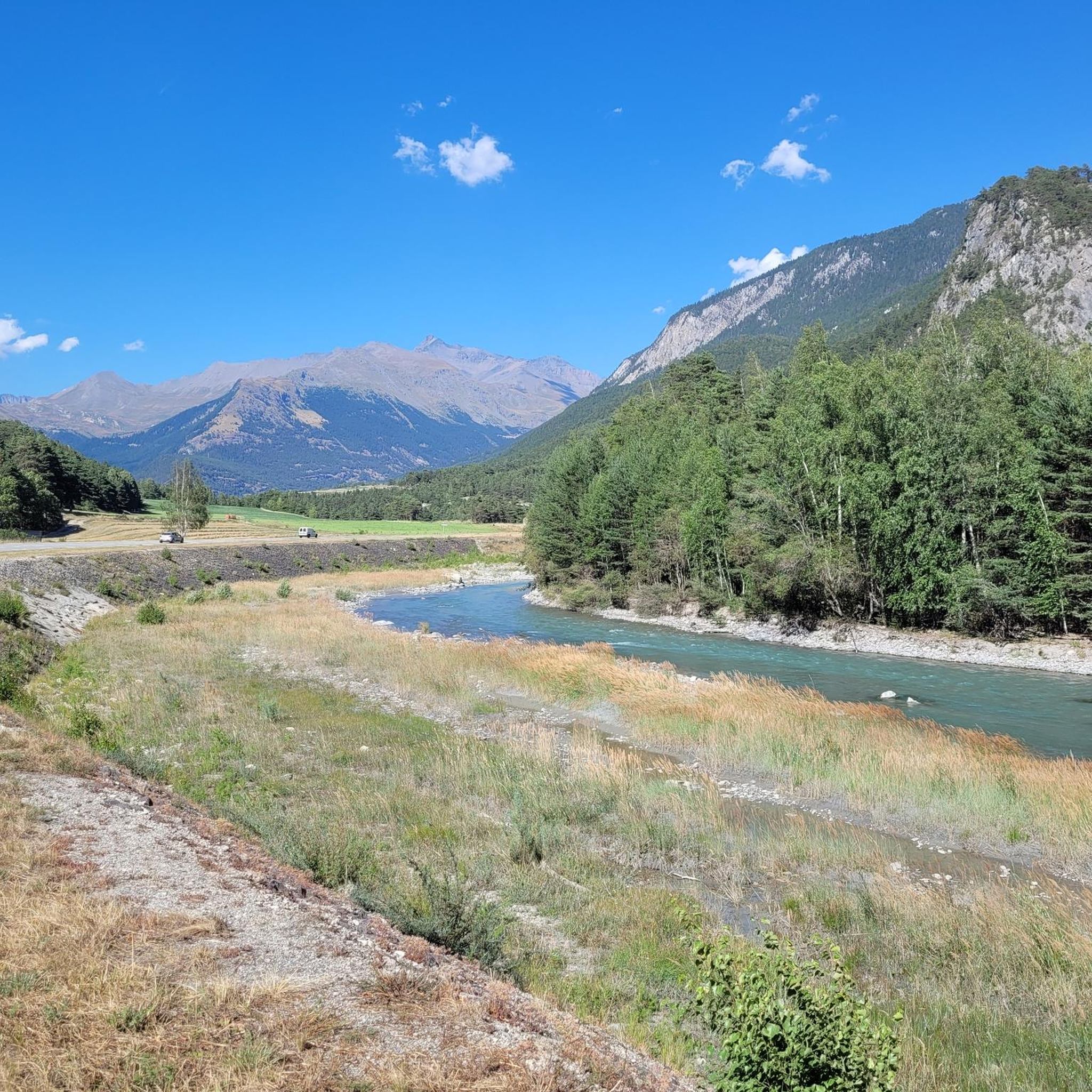
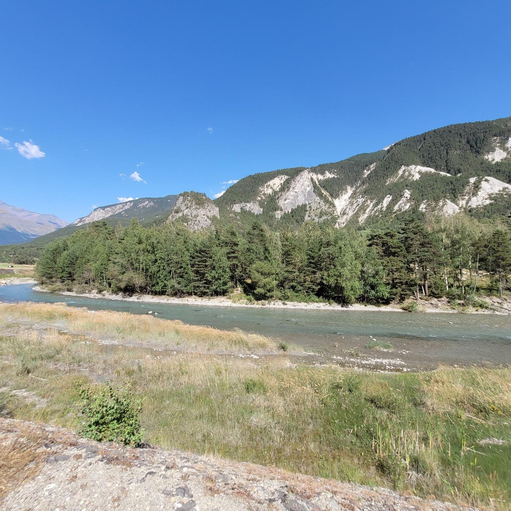
Hiking around Sollières-Sardières offers access to diverse landscapes within the upper Maurienne valley, bordering the Vanoise National Park. The terrain features impressive mountain passes, such as the Col de Sollières, providing expansive views of the Mont-Cenis massif. A prominent natural landmark is the Monolithe de Sardières, a 93-meter tall geological formation. The region also includes fragrant pine forests and high-altitude flora, characteristic of the Alps.
Best hiking trails around Sollières-Sardières
- The most popular hiking route is La Turra – Monolithe…
Last updated: May 20, 2026
4.1
(10)
59
hikers
5.25km
01:28
100m
100m
Easy hike. Great for any fitness level. Easily-accessible paths. Suitable for all skill levels.
5.0
(1)
29
hikers
Hard hike. Very good fitness required. Mostly accessible paths. Sure-footedness required.

Sign up for free
4.1
(12)
38
hikers
Moderate hike. Great for any fitness level. Mostly accessible paths. Sure-footedness required.
4.5
(8)
31
hikers
11.3km
04:27
550m
550m
Moderate hike. Good fitness required. Mostly accessible paths. Sure-footedness required.
4.6
(12)
76
hikers
Moderate hike. Good fitness required. Mostly accessible paths. Sure-footedness required.
Get access to more routes and recommendations from other explorers.
Sign up for free
Already have an account?
Our route recommendations are based on thousands of hikes, rides, and runs completed by other people on komoot.
Start today with a free account
Your next adventure awaits.
Login or Signup


Tips from the Community


Refreshments during the descent to Sardières
0
0


93-meter high monolith, in the Plan Bois forest
0
0
Frequently Asked Questions
How many hiking trails are available around Sollières-Sardières?
There are over 20 hiking trails around Sollières-Sardières, catering to various fitness levels. You'll find a good mix of easy, moderate, and difficult routes to explore the diverse landscapes of the upper Maurienne valley.
What is the best time of year for hiking in Sollières-Sardières?
The best time for hiking in Sollières-Sardières is typically from late spring through early autumn (May to October). During these months, the weather is generally favorable, and the trails are clear of snow, allowing access to high-altitude passes and panoramic views. Summer offers lush landscapes and warmer temperatures, while autumn brings vibrant colors to the forests.
Are there easy hiking options suitable for families or beginners?
Yes, Sollières-Sardières offers several easy hiking options perfect for families or beginners. For instance, the Termignon Village loop from Sollières-Sardières is an easy 5.3 km trail with minimal elevation gain, offering a relaxed walk through the local area.
What kind of terrain can I expect on hikes around Sollières-Sardières?
The terrain around Sollières-Sardières is quite varied, ranging from gentle paths through fragrant pine forests to more rugged ascents in the higher altitudes. You can expect well-marked rural paths, some rocky sections, and significant elevation changes on more challenging routes, especially those leading to mountain passes. The region borders the Vanoise National Park, so trails often feature alpine meadows and stunning mountain backdrops.
Can I hike to the Monolithe de Sardières?
Yes, the Monolithe de Sardières, a distinctive 93-meter tall natural monument, is a popular hiking destination. You can explore it on routes like the Monolithe de Sardières – Summit and View of Aussois loop from Aérodrome de Sollières Sardières, a moderate 9.6 km trail that offers impressive views of this geological formation and the surrounding landscape.
Are there any notable natural features or viewpoints to discover?
Absolutely. Beyond the Monolithe de Sardières, the region boasts impressive mountain passes like the Col de Sollières, offering expansive views of the Mont-Cenis massif and the Vanoise. You'll also find unique high-altitude flora and fragrant Scots pine forests. The proximity to the Vanoise National Park means access to breathtaking mountain scenery and diverse ecosystems.
Are there any circular hiking routes in Sollières-Sardières?
Yes, many of the hiking routes around Sollières-Sardières are circular, allowing you to start and end in the same location. Examples include the La Turra – Monolithe de Sardières loop from Aérodrome de Sollières Sardières and the Chapel St-Bernard loop from Sollières-Sardières, providing convenient options for exploration.
What do other hikers enjoy most about hiking in Sollières-Sardières?
The hiking trails in Sollières-Sardières are highly rated by the komoot community, with an average score of 4.5 stars from over 100 reviews. Hikers often praise the diverse landscapes, from pine forests to high mountain passes, and the stunning panoramic views of the Mont-Cenis and Ambin massifs. The distinctive Monolithe de Sardières is also a frequently mentioned highlight.
Are there any mountain passes I can hike to for panoramic views?
Yes, the region is known for its impressive mountain passes. The Col de Sollières, at 2,640 meters above sea level, offers a stunning panorama of the Mont-Cenis massif and the Vanoise. For a more challenging option, the Col du Sommeiller, peaking at 2,995 meters, provides spectacular views for experienced hikers. You can find more information about these and other passes in the Mountain Passes around Sollières-Sardières guide.
Are there any huts or refuges along the trails for overnight stays or refreshments?
While specific details for Sollières-Sardières trails aren't provided, the broader Haute Maurienne Vanoise region, where Sollières-Sardières is located, features huts and refuges. These can be found along multi-day treks or in more remote areas, offering opportunities for overnight stays or a break. For more details, you can check the Huts and Cabins around Sollières-Sardières guide.
Are there any challenging hikes for experienced trekkers?
For experienced and very fit hikers, Sollières-Sardières offers demanding trails. The La Turra – Monolithe de Sardières loop from Aérodrome de Sollières Sardières is a difficult 14.8 km route with nearly 1000 meters of elevation gain, providing a significant outdoor challenge and extensive views.
Most popular routes around Sollières-Sardières
Most popular attractions around Sollières-Sardières

Get inspired with the komoot mobile app


Explore more
Browse the best Hikes in other regions.
