The best running trails around Saint-Didier-Sur-Chalaronne
4.5
(27)
1,504
runners
24
runs
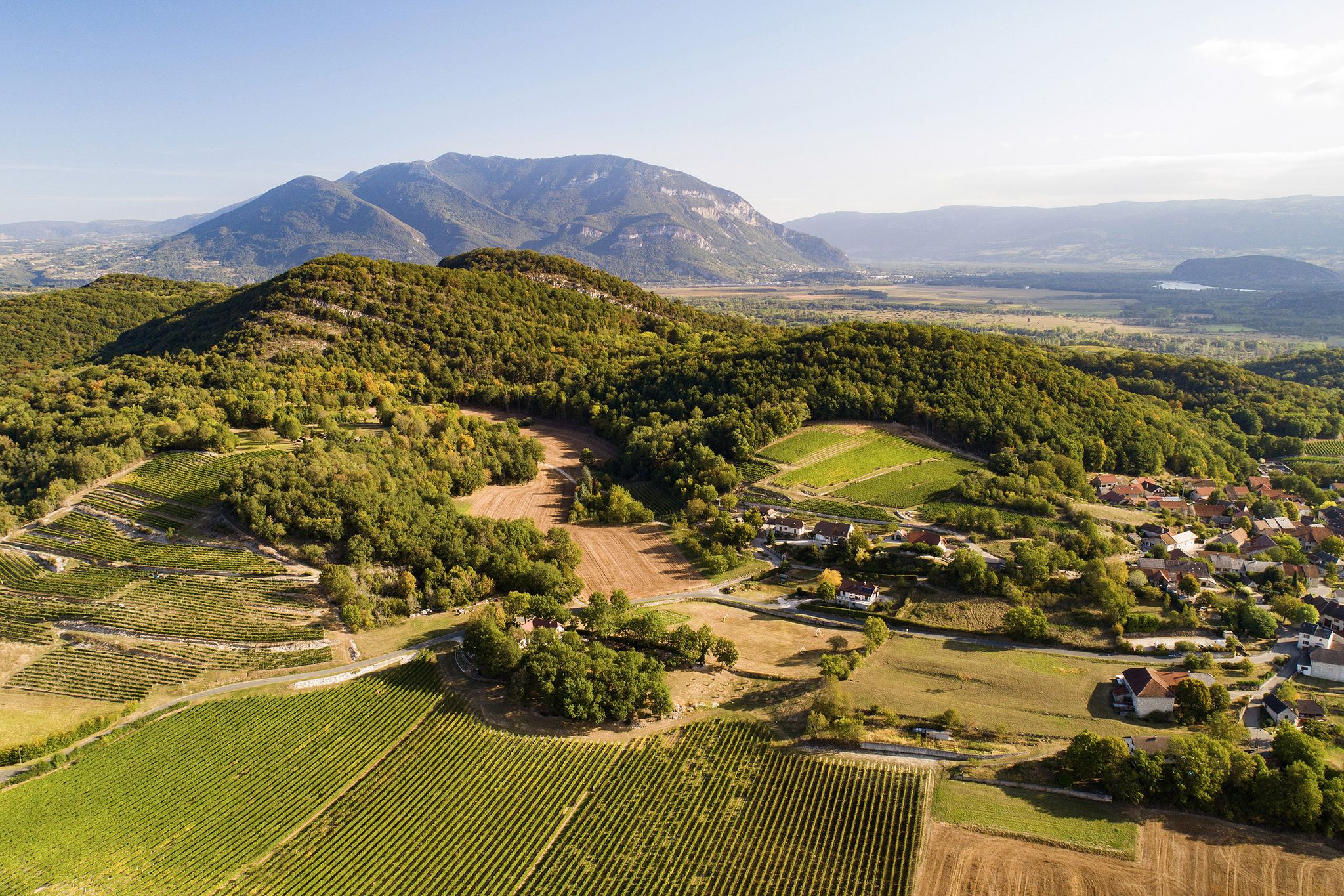
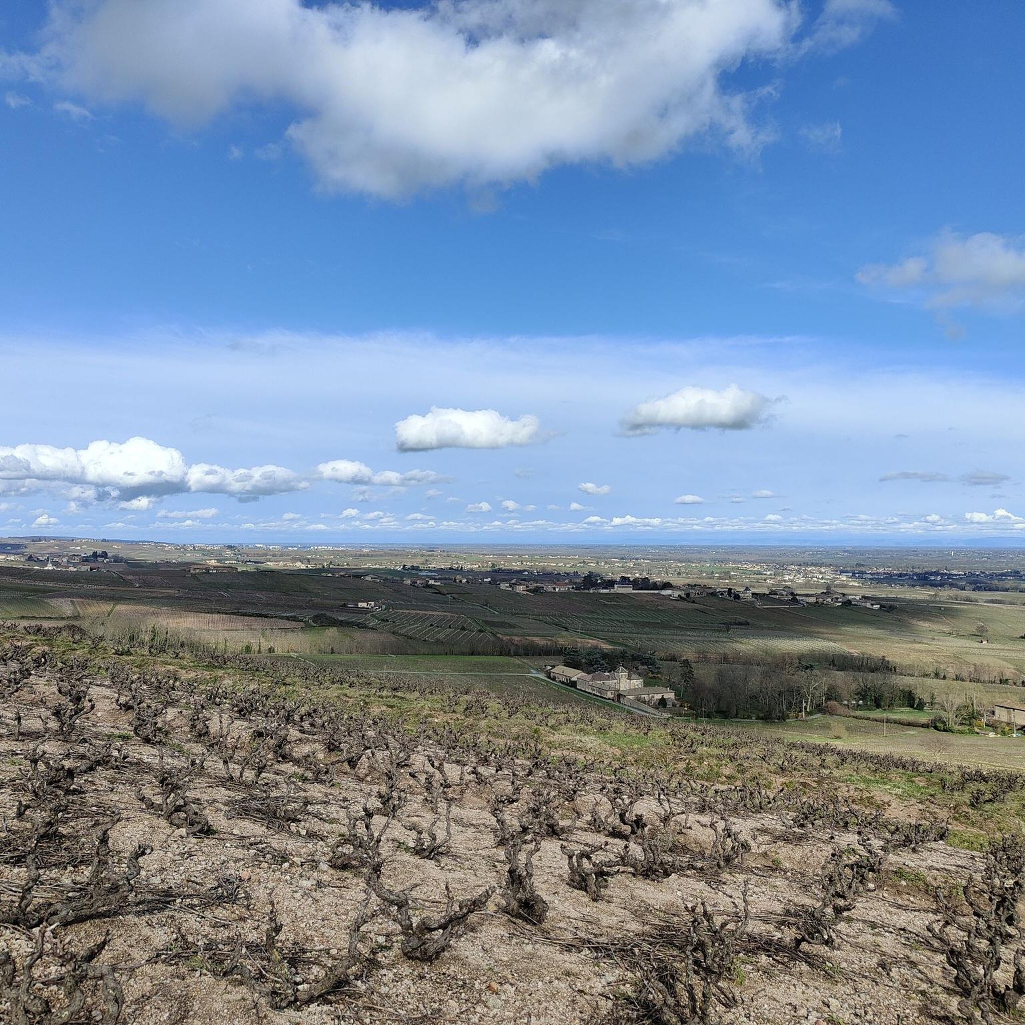
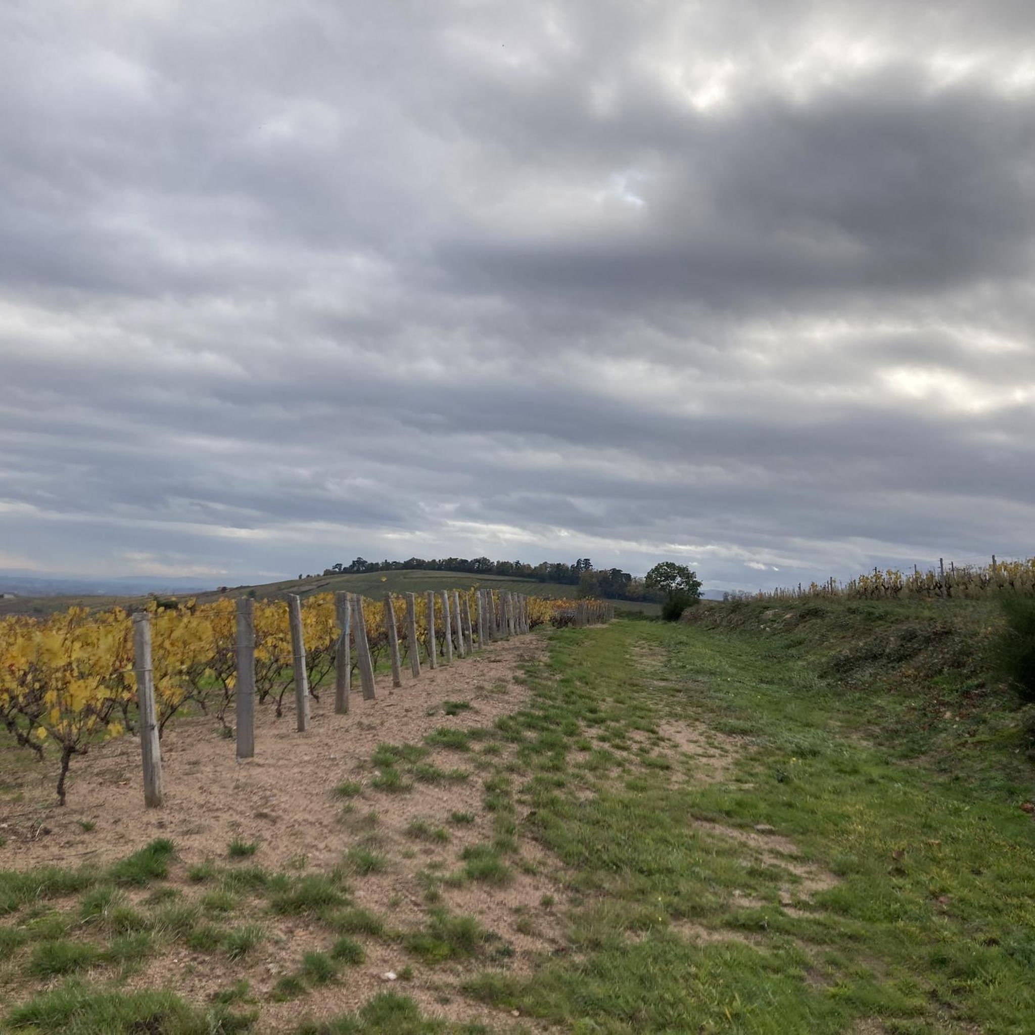
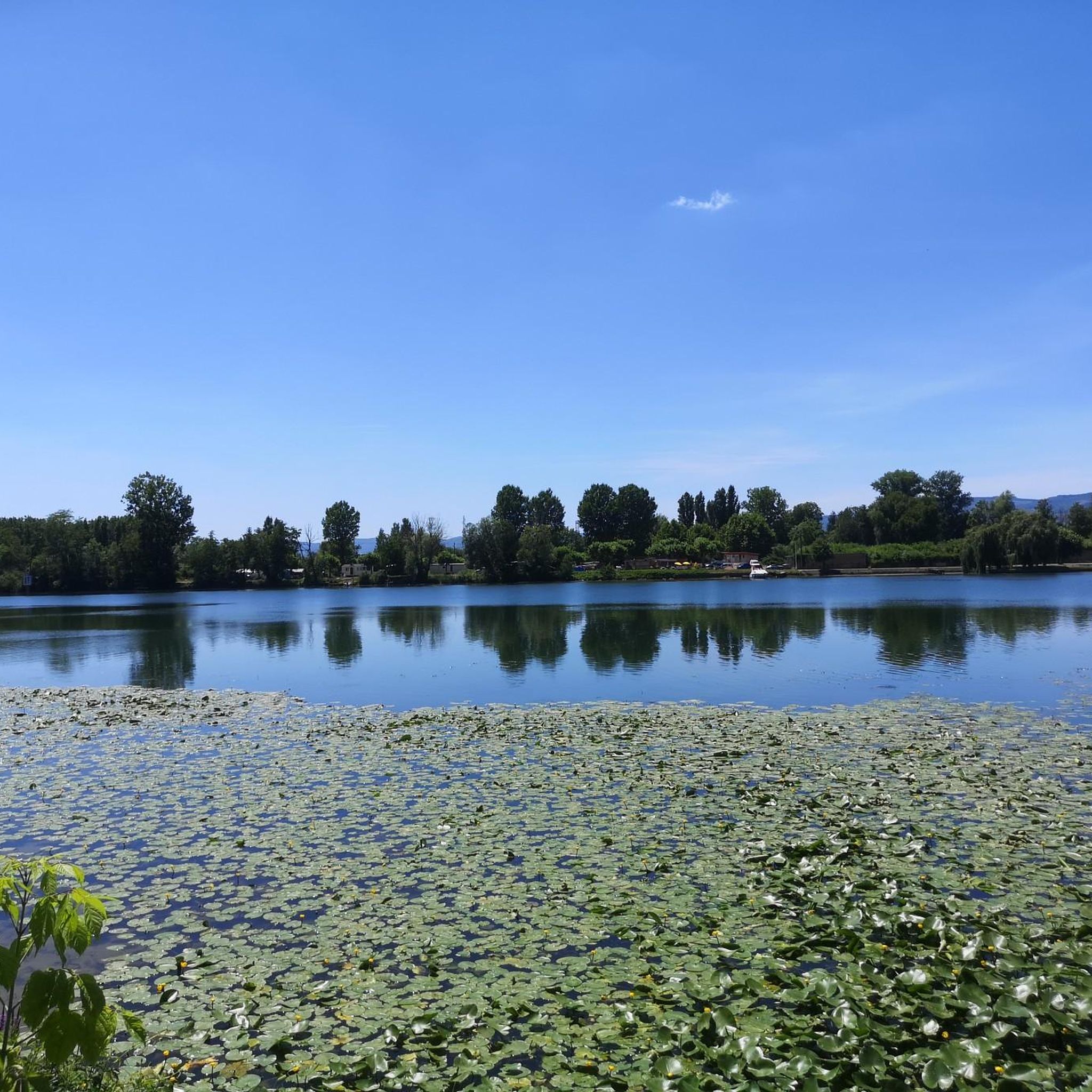
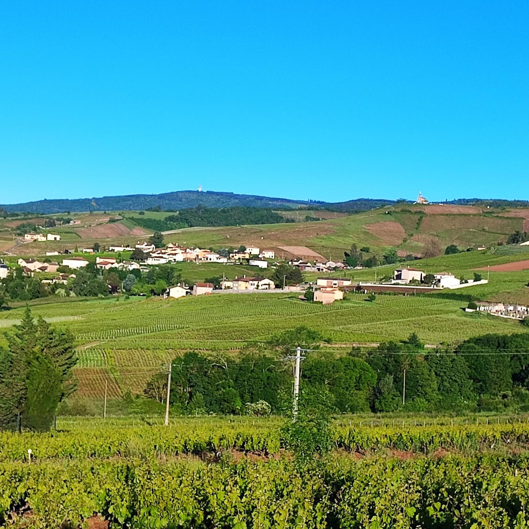
Jogging around Saint-Didier-Sur-Chalaronne offers routes through diverse landscapes where the Chalaronne river flows into the Saône. The region features paths along riverbanks and the Echudes canal, providing views of rural architecture. To the west, the Val de Saône and Bresse bocage present hedged farmland and distinct hedgerow landscapes. The eastern part includes the Dombes region with its ponds, alongside general countryside and wooded areas.
Best jogging routes around Saint-Didier-Sur-Chalaronne
- The most popular jogging route is Thoissey Chalaronne loop from Thoissey…
Last updated: June 28, 2026
4.5
(4)
32
runners
6.29km
00:42
10m
10m
Moderate run. Good fitness required. Mostly paved surfaces. Suitable for all skill levels.
4.0
(1)
14
runners
24.6km
02:37
40m
40m
Hard run. Very good fitness required. Mostly accessible paths. Some sure footedness required.

Sign up for free
4.7
(3)
10
runners
Moderate run. Good fitness required. Mostly accessible paths. Some sure footedness required.
5.0
(1)
9
runners
Moderate run. Good fitness required. Mostly paved surfaces. Suitable for all skill levels.
17
runners
Moderate run. Good fitness required. Mostly paved surfaces. Suitable for all skill levels.
Get access to more routes and recommendations from other explorers.
Sign up for free
Already have an account?
Our route recommendations are based on thousands of hikes, rides, and runs completed by other people on komoot.
Start today with a free account
Your next adventure awaits.
Login or Signup
Popular around Saint-Didier-Sur-Chalaronne

Other adventures around Saint-Didier-Sur-Chalaronne

Tips from the Community

Great welcome, even just for a coffee, filling up with water and disposing of our waste. Looking at the menu, the dishes seem delicious.
0
0

Excellent lunch: Plat du Jour with 4 courses.
1
0
Frequently Asked Questions
How many running routes are available around Saint-Didier-sur-Chalaronne?
There are 21 dedicated jogging routes around Saint-Didier-sur-Chalaronne, offering a variety of distances and terrains for runners of all levels.
Are there any easy or beginner-friendly running trails in the area?
While most routes are classified as moderate, the region offers paths suitable for beginners. For example, the Thoissey Chalaronne loop from Thoissey is a moderate 6.2 km (3.9 miles) route that takes about 40 minutes to complete, providing a gentle introduction to the local scenery along the Chalaronne river.
What kind of landscapes can I expect to see while jogging near Saint-Didier-sur-Chalaronne?
Jogging routes in this area showcase diverse landscapes, including picturesque riverbanks along the Saône and Chalaronne, the tranquil Echudes canal, and the hedged farmland of the Val de Saône and Bresse bocage. You'll also find paths winding through local countryside and wooded areas, with some routes venturing towards the unique pond-filled Dombes region.
Are there any long-distance running options for experienced runners?
Yes, for those seeking a longer challenge, the Piece of the blue lane loop from Saint-Didier-sur-Chalaronne is a difficult 24.6 km (15.3 miles) route. This extensive path explores varied terrain and open countryside, typically taking over 2.5 hours to complete.
What are some scenic highlights or landmarks I might encounter on a run?
Many routes offer scenic views. You might pass by rural architecture, old washhouses, and charming local villages. Some trails provide glimpses of the Saône river, while others lead through woods where you might discover private mills or the ruins of an oil mill. For specific points of interest, consider exploring highlights like the View of Mâcon and the Saône from the François Mitterand bridge or the Windmill.
Are there any circular running routes available?
Yes, many of the running routes around Saint-Didier-sur-Chalaronne are circular, allowing you to start and finish at the same point. Examples include the Boat dock loop from Saint-Didier-sur-Chalaronne, a 9.7 km (6.0 miles) trail, and the Château de Serans – Les échudes et le Lavoir loop from Saint-Didier-sur-Chalaronne, which is 10.4 km (6.5 miles).
What do other runners say about the trails in Saint-Didier-sur-Chalaronne?
The running routes in Saint-Didier-sur-Chalaronne are highly rated by the komoot community, with an average score of 4.5 stars from over 25 reviews. Runners often praise the diverse terrain, the tranquil riverine landscapes, and the well-maintained paths that allow for enjoyable outdoor experiences.
Is Saint-Didier-sur-Chalaronne a good place for family-friendly running or walks?
The area's gentle riverbank paths and countryside trails can be suitable for families. While specific 'family-friendly' running routes aren't explicitly categorized, the shorter, moderate loops offer pleasant options for a combined run and walk, allowing everyone to enjoy the natural beauty.
Are dogs allowed on the running trails?
Generally, dogs are welcome on many outdoor trails in France, especially in rural areas, but it's always advisable to keep them on a leash, particularly near livestock or in nature reserves. There are no specific restrictions mentioned for the general running routes around Saint-Didier-sur-Chalaronne, but always be mindful of local signage and other users.
What is the best time of year to go running in Saint-Didier-sur-Chalaronne?
The region's diverse landscapes, from riverbanks to bocage, are enjoyable throughout much of the year. Spring and autumn offer pleasant temperatures and beautiful scenery, with lush greenery in spring and vibrant colors in autumn. Summer can be warm, making early morning or late evening runs ideal, while winter runs can be refreshing, especially along the river paths.
Are there places to eat or get refreshments near the running routes?
Saint-Didier-sur-Chalaronne and nearby villages offer local amenities where you can find cafes, restaurants, and shops. While specific refreshment points directly on every trail are not guaranteed, planning your route to pass through or near the village centers will provide opportunities for a post-run meal or drink.
Is there public transport access to the trailheads?
Information on specific public transport links directly to every trailhead is limited. However, Saint-Didier-sur-Chalaronne is a commune in the Ain department, and local bus services may connect to surrounding towns. It is recommended to check local transport schedules for connections to the starting points of your chosen running routes.
Where can I park my car when accessing the running trails?
Parking is generally available in the village centers of Saint-Didier-sur-Chalaronne and other nearby communes like Thoissey, which serve as common starting points for many routes. Look for designated public parking areas when planning your run.
Most popular routes around Saint-Didier-Sur-Chalaronne
Most popular attractions around Saint-Didier-Sur-Chalaronne

Get inspired with the komoot mobile app


Explore more
Browse the best Running Trails & Routes in other regions.
