The best walks and hikes around Saint-Didier-Sur-Chalaronne
4.5
(317)
1,908
hikers
205
hikes
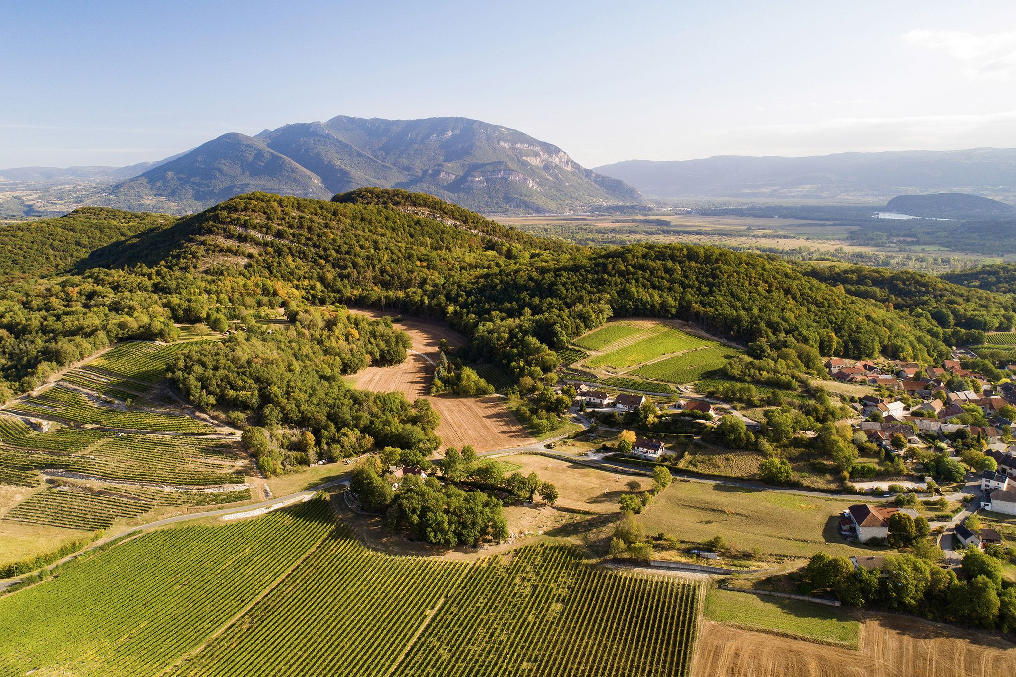
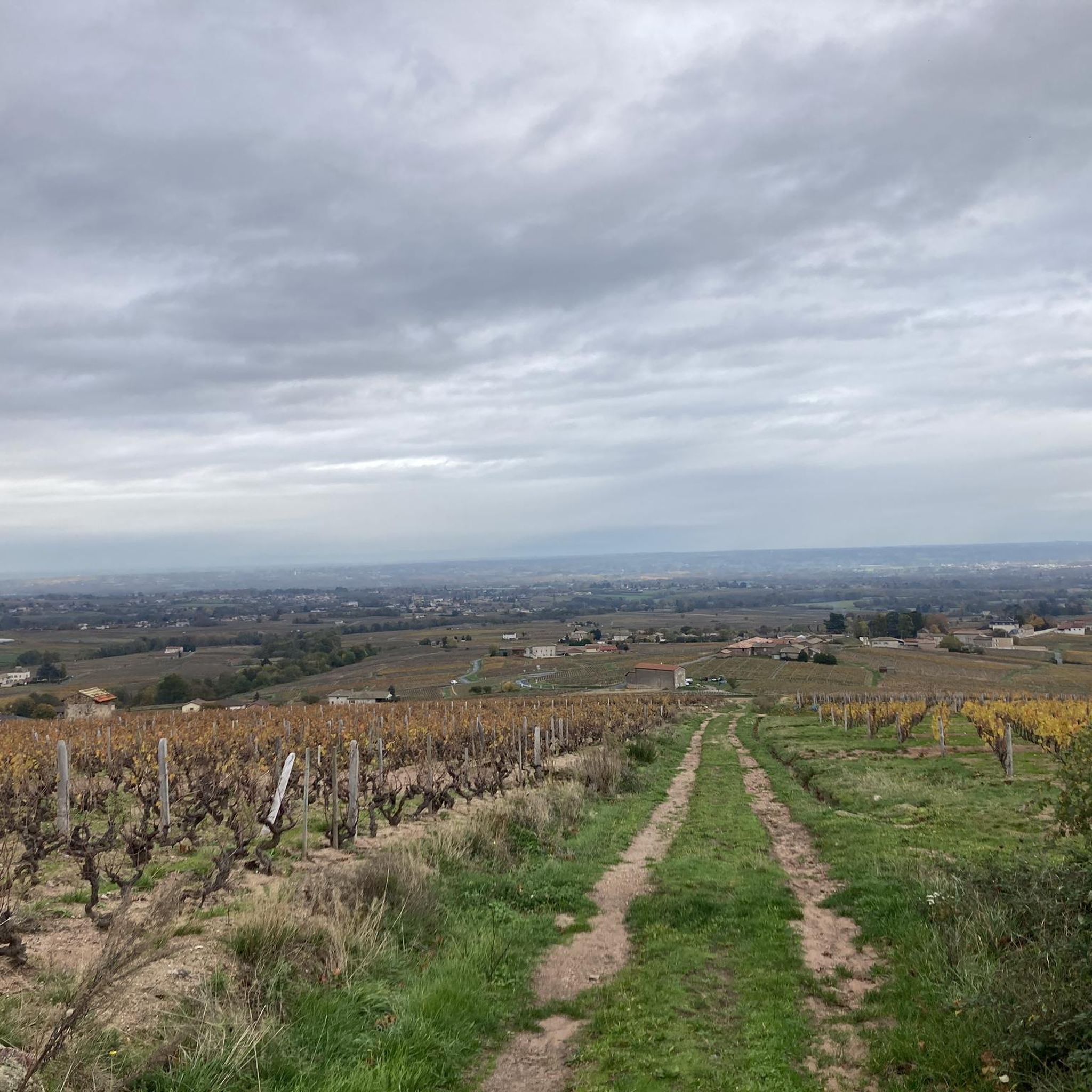
Hiking trails around Saint-Didier-Sur-Chalaronne offer a diverse landscape for outdoor activities. The region is characterized by riverbanks along the Saône and Chalaronne rivers, rolling countryside, and proximity to the Beaujolais vineyards. To the east, the Dombes region presents a unique landscape with numerous ponds, while the Bresse Bocage features groves and valleys. This varied terrain provides a range of hiking experiences.
Best hiking trails around Saint-Didier-Sur-Chalaronne
- The most popular hiking route is Boat dock – Thoissey Municipal Park loop from…
Last updated: June 27, 2026
4.8
(5)
39
hikers
Moderate hike. Good fitness required. Easily-accessible paths. Suitable for all skill levels.
4.6
(5)
29
hikers
5.42km
01:22
10m
10m
Easy hike. Great for any fitness level. Easily-accessible paths. Suitable for all skill levels.

Sign up for free
11
hikers
6.52km
01:41
30m
30m
Easy hike. Great for any fitness level. Easily-accessible paths. Suitable for all skill levels.
4.0
(1)
7
hikers
10.3km
02:39
50m
50m
Moderate hike. Good fitness required. Easily-accessible paths. Suitable for all skill levels.
5.0
(1)
7
hikers
12.1km
03:08
70m
70m
Moderate hike. Good fitness required. Easily-accessible paths. Suitable for all skill levels.
Get access to more routes and recommendations from other explorers.
Sign up for free
Already have an account?
Our route recommendations are based on thousands of hikes, rides, and runs completed by other people on komoot.
Start today with a free account
Your next adventure awaits.
Login or Signup
Popular around Saint-Didier-Sur-Chalaronne

Other adventures around Saint-Didier-Sur-Chalaronne

Tips from the Community

The Church of Bey seems isolated, far from the village. Indeed, until 1698, it was the parish church of Garnerans and Bey. At the time, it was right in the center of the parish. On its promontory, it was the outpost of the Counts of Savoy, facing the Beaujolais enclave (Garnerans), which would be annexed to France in 1736, and facing Burgundy. The Savoyard enclave of Bresse existed until 1601. The Monspe family, who built the church, was the showcase of Savoy. The richness of the church's interior decorations seems to be a hallmark of this.
0
0
Frequently Asked Questions
How many hiking trails are available around Saint-Didier-sur-Chalaronne?
There are over 180 hiking routes around Saint-Didier-sur-Chalaronne, offering a wide variety of experiences. These include 67 easy routes, 104 moderate trails, and 11 more challenging options for experienced hikers.
What kind of landscapes can I expect to see while hiking in this region?
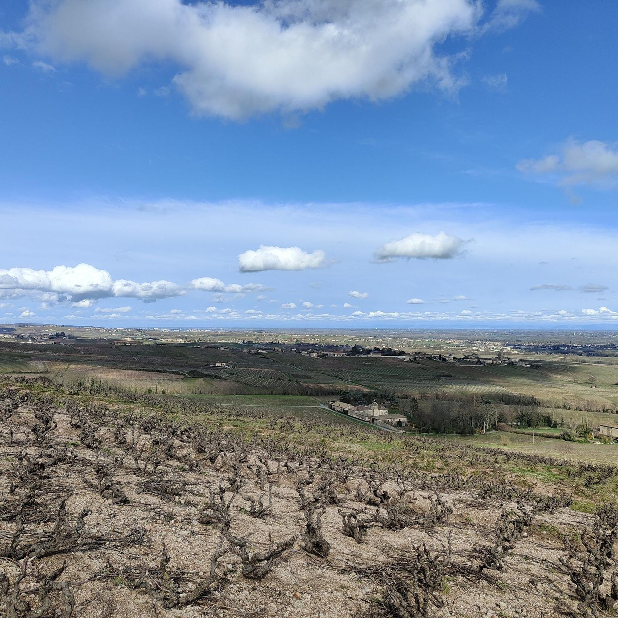
The region around Saint-Didier-sur-Chalaronne offers diverse landscapes. You can explore tranquil riverbanks along the Saône and Chalaronne rivers, rolling countryside, and routes winding through the nearby Beaujolais vineyards. To the east, the unique Dombes region features numerous ponds, while the Bresse Bocage presents groves and valleys with historic farms.
Are there any easy circular walks suitable for a relaxed outing?
Yes, there are several easy circular walks. For a pleasant stroll through parkland and along the water, consider the Thoissey Municipal Park – Boat dock loop from Thoissey, which is 5.4 km long. Another easy option is the Daffodil trail loop from Garnerans, a 6.5 km route through rural landscapes.
What do other hikers say about the trails in Saint-Didier-sur-Chalaronne?
The hiking trails in Saint-Didier-sur-Chalaronne are highly regarded by the komoot community, with an average rating of 4.5 stars from nearly 300 reviews. Hikers often praise the varied terrain, the peaceful riverbank paths, and the charming rural scenery.
Are there any viewpoints or scenic spots along the hiking routes?
Yes, the region offers several scenic spots. You can find routes that provide vistas from the heights of the Val de Saône, sometimes extending to the Monts du Beaujolais and even the Alps on clear days. Specifically, the View of Mâcon and the Saône from the François Mitterand bridge is a notable viewpoint.
Can I find longer, moderate hikes in the area?
Absolutely. For a moderate hike with river views, the Boat dock – Thoissey Municipal Park loop from Saint-Didier-sur-Chalaronne covers 8.1 km. Another moderate option is the Thoissey Municipal Park loop from Thoissey, which is about 10.3 km long and offers varied terrain.
Are there any historical or cultural attractions to see while hiking?
Many walks in the area incorporate historical and cultural elements. You might pass by private mills, the ruins of an oil mill, or even a private castle. The nearby medieval town of Châtillon-sur-Chalaronne also offers historical sites. In Mâcon, you can visit the Maison de Bois or the Hotel de Senecé, Mâcon Musée Lamartine.
What is the best time of year to go hiking in Saint-Didier-sur-Chalaronne?
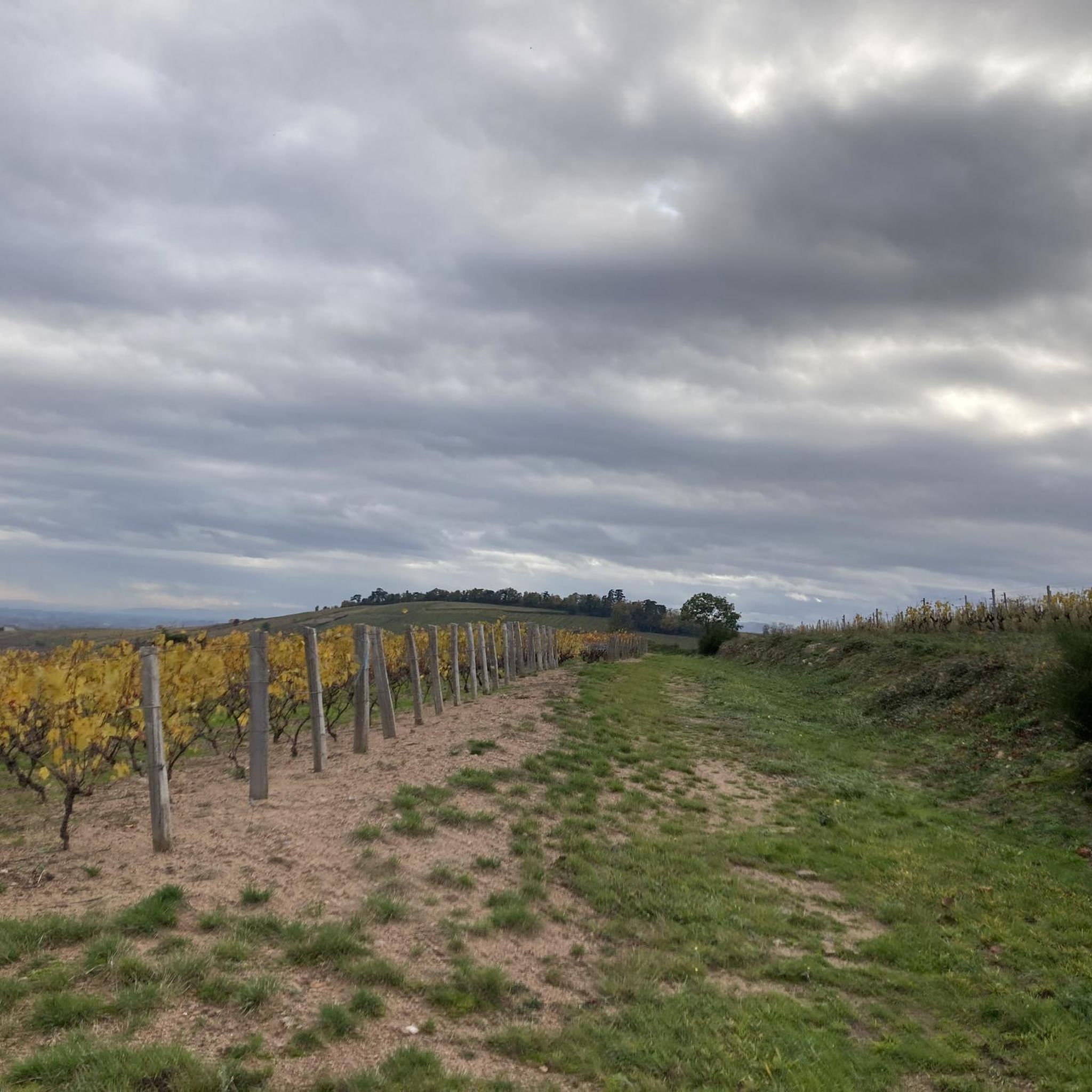
The region is enjoyable for hiking across multiple seasons. Spring brings blooming daffodils and fresh greenery, while autumn offers beautiful colors in the vineyards and woodlands. Summer is ideal for riverbank strolls, and even winter can be pleasant for walks through the Bresse Bocage or along the Saône, especially on clear days.
Are there any lakes or water-based attractions near the hiking trails?
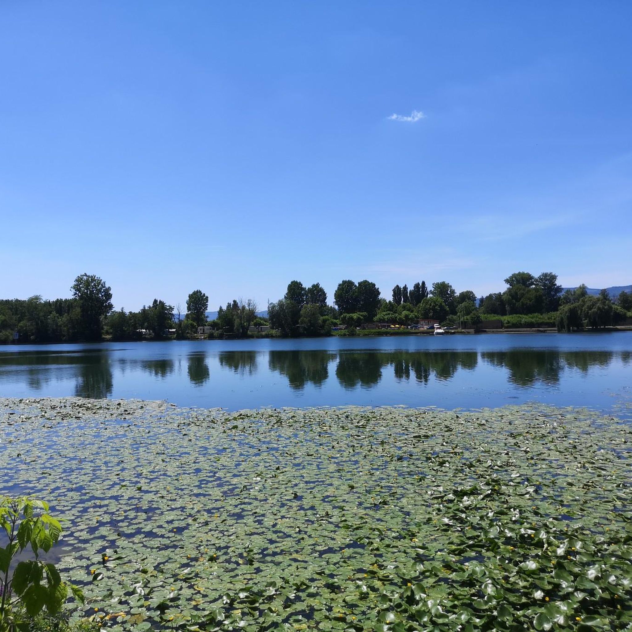
Yes, the region is known for its proximity to water. The Dombes region to the east is famous for its 'thousand ponds,' offering unique natural scenery. Additionally, the Cormoranche Lake Leisure Center is a nearby attraction that can be combined with hiking.
Are there any longer, more challenging routes for experienced hikers?
While many routes are easy to moderate, there are 11 more difficult routes available for experienced hikers. These longer options often delve into the upper Beaujolais, passing through vineyards and woods, and may involve more significant elevation changes.
What kind of terrain can I expect on the trails?
The terrain varies significantly. You'll find flat paths along riverbanks, gentle rolling hills through agricultural land and vineyards, and some routes with more pronounced elevation changes, particularly in areas closer to the Beaujolais region. The Dombes region offers unique landscapes around its many ponds.
Most popular routes around Saint-Didier-Sur-Chalaronne
Most popular attractions around Saint-Didier-Sur-Chalaronne

Get inspired with the komoot mobile app


Explore more
Browse the best Hikes in other regions.
