The best running trails around Saint-Pierre-Sur-Doux
4.8
(4)
577
runners
45
runs
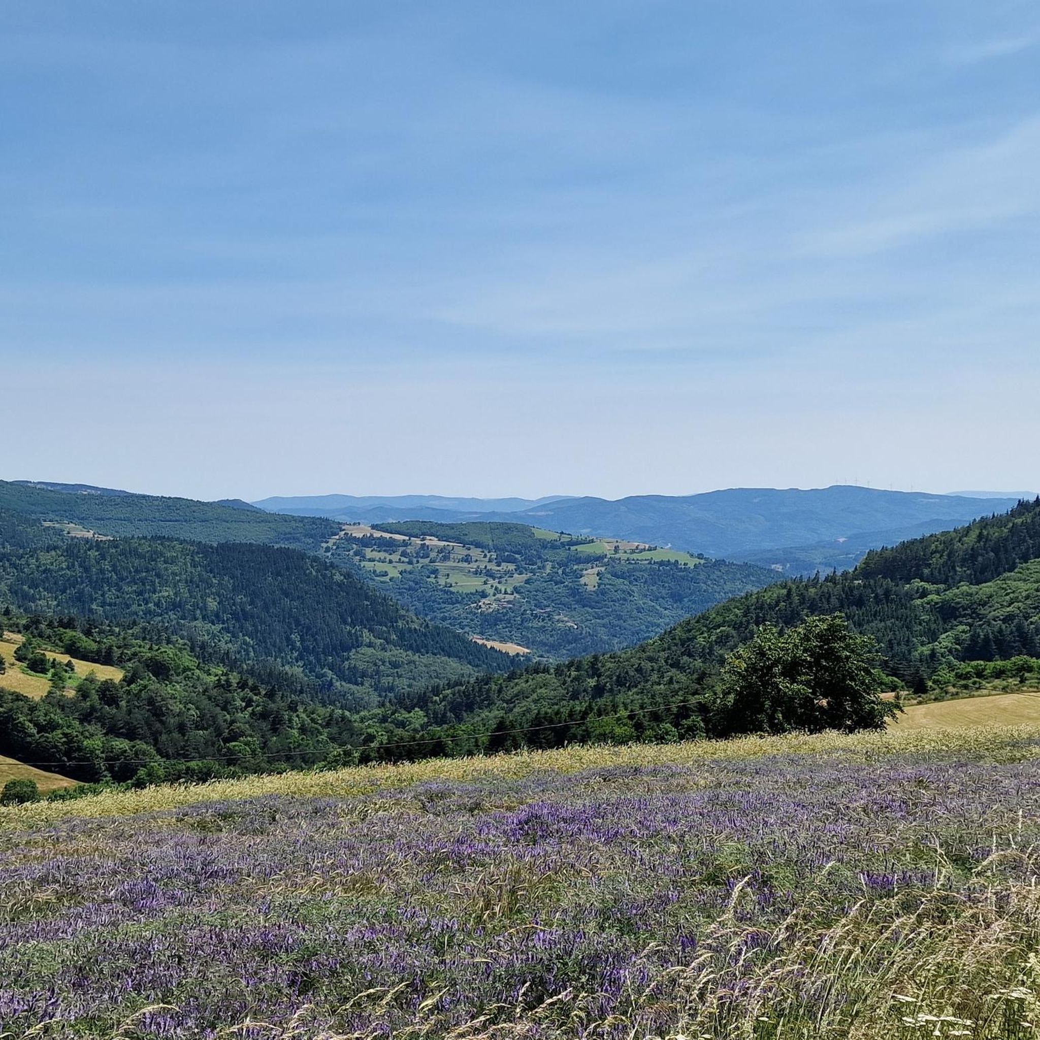
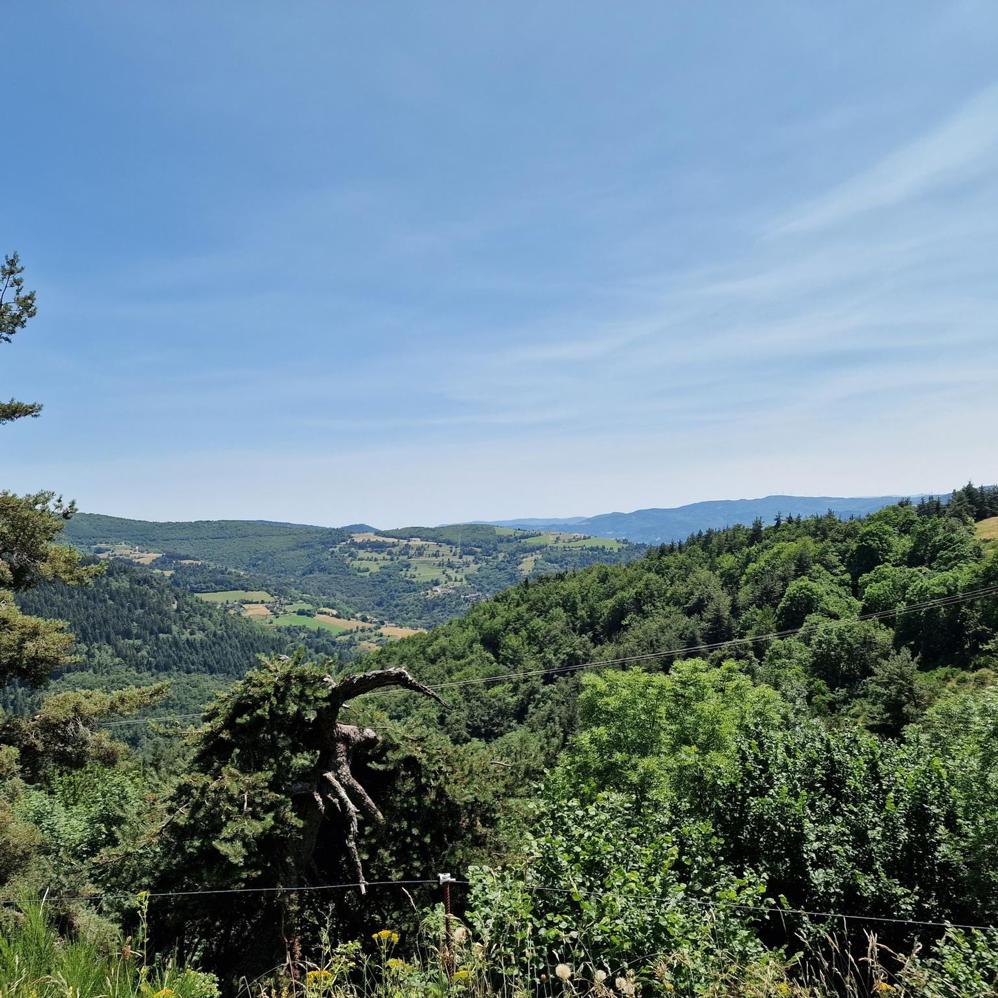
Jogging around Saint-Pierre-Sur-Doux, located in the Ardèche department of southern France, offers diverse landscapes for runners. The region features varied topography with elevations ranging from 650 to 1300 meters, providing undulating terrain. Extensive forests cover much of the area, and the Doux River basin contributes to the natural environment. Panoramic views of the Alps and Mont Gerbier de Jonc are accessible from various points.
Best jogging routes around Saint-Pierre-Sur-Doux
- The most popular jogging route is Running loop from Saint-Bonnet-le-Froid,…
Last updated: May 18, 2026
50
runners
14.6km
01:42
340m
340m
Hard run. Very good fitness required. Mostly paved surfaces. Suitable for all skill levels.
5.0
(1)
29
runners
6.40km
00:41
110m
110m
Moderate run. Good fitness required. Mostly paved surfaces. Suitable for all skill levels.

Sign up for free
32
runners
11.4km
01:32
430m
430m
Hard run. Very good fitness required. Mostly paved surfaces. Suitable for all skill levels.
27
runners
46.8km
06:14
1,700m
1,700m
Hard run. Very good fitness required. Mostly paved surfaces. Suitable for all skill levels.
20
runners
21.9km
02:53
880m
880m
Hard run. Very good fitness required. Mostly paved surfaces. Suitable for all skill levels.
Get access to more routes and recommendations from other explorers.
Sign up for free
Already have an account?
Our route recommendations are based on thousands of hikes, rides, and runs completed by other people on komoot.
Start today with a free account
Your next adventure awaits.
Login or Signup
Tips from the Community

Lively place, lots of shops.
0
0

Beautiful downhill finish for the end of L'Ardéchoise. Be careful at the end of the descent with some very technical turns.
0
1

Very nice route - with a great descent.
1
0

At Le Sardier, the landscapes are revealed and the viewpoints are linked to the chain of the Alps on one side and the Ardèche plateau on the other.
0
0

Place Jean Béal is located in the heart of the village of Saint-Bonnet-le-Froid. It overlooks the Saint-Bonnet church and is an ideal stop for a coffee or for lunch.
0
0
This pretty neo-Romanesque church is located in the heart of the village. It was the work of the architect Louis Besset.
0
0

The Col des Baraques from Annonay is 25 km long with a total drop of 720 m. The average gradient is 2.8% with maximum gradients of 5.5%.
1
0
The Col du Buisson from Saint Félicien is 13km long with a total drop of 377m. The average gradient is 2.9% with maximum gradients of 7.7%.
2
1
Frequently Asked Questions
How many running routes are available in Saint-Pierre-Sur-Doux?
There are over 40 jogging routes around Saint-Pierre-Sur-Doux, offering a wide variety of options for different fitness levels and preferences. The komoot community has explored these trails over 500 times.
What kind of terrain can I expect on the jogging trails around Saint-Pierre-Sur-Doux?
The region features diverse and undulating terrain, with elevations ranging from 650 to 1300 meters. You'll primarily find yourself running through extensive forests, with paths that can be challenging due to significant elevation changes, or gentler for a more relaxed pace. The Col du Faux – Col du Faux loop from Lalouvesc, for example, features considerable elevation through forested areas.
Are there any easy or beginner-friendly running routes in the area?
Yes, while many routes offer a challenge, there are options for beginners. For instance, the Running loop from Saint-Bonnet-le-Froid is a moderate 4.0-mile (6.4 km) trail that provides a good introduction to the local terrain without being overly strenuous. The region also has 19 moderate routes suitable for those looking for a less intense run.
Can I find challenging long-distance runs around Saint-Pierre-Sur-Doux?
Absolutely. Saint-Pierre-Sur-Doux is an excellent destination for experienced runners seeking a challenge. Routes like the Col du Faux – Col Robert Marchand (911 m) loop from Lalouvesc span 13.6 miles (21.9 km) and feature notable climbs, often taking nearly 3 hours to complete. There are 26 difficult routes in the area, ensuring plenty of options for long-distance and elevation training.
Are there any circular running routes?
Yes, many of the running routes in Saint-Pierre-Sur-Doux are designed as loops, allowing you to start and finish at the same point. Examples include the popular Running loop from Saint-Bonnet-le-Froid and the more challenging Col du Faux – Col du Faux loop from Lalouvesc.
What natural features or viewpoints can I see while jogging?
The region offers remarkable natural beauty. You can enjoy breathtaking panoramas of the Alps, the Mézenc, and Mont Gerbier de Jonc from various points along the trails. The Doux river basin is a significant biological crossroads, and the nearby Lake Devesset, surrounded by fir trees, provides a serene setting for a run.
Are the running trails around Saint-Pierre-Sur-Doux suitable for families?
While the guide doesn't specifically highlight family-friendly jogging routes, the region offers varied terrain. Shorter, less strenuous loops, particularly those with minimal elevation, could be suitable for families with older children who enjoy running. It's always best to check the route details for distance and elevation before heading out with family.
Are dogs allowed on the running trails?
The guide does not specify restrictions regarding dogs on the running trails. Generally, in rural areas of France like Saint-Pierre-Sur-Doux, dogs are often permitted on trails, especially if kept on a leash. However, it's always advisable to check local signage or specific park regulations if you plan to run with your dog.
What do other runners say about the trails in Saint-Pierre-Sur-Doux?
The running routes in Saint-Pierre-Sur-Doux are highly rated by the komoot community, with an average score of 4.8 stars from over 5 reviews. Runners often praise the varied terrain, the extensive forested areas, and the panoramic viewpoints that make for a rewarding outdoor experience.
Is there parking available near the trailheads?
While specific parking locations for each trailhead are not detailed in the guide, Saint-Pierre-Sur-Doux is a village with a focus on outdoor activities. It is generally expected that parking would be available in or near the village centers or designated starting points for popular trails, such as those originating from Lalouvesc or Saint-Bonnet-le-Froid.
What is the best time of year to go jogging in Saint-Pierre-Sur-Doux?
Saint-Pierre-Sur-Doux, with its varied elevations and forested areas, offers pleasant conditions for jogging across multiple seasons. Spring and autumn provide mild temperatures and beautiful scenery. Summer can be ideal, especially in the shaded forest paths, though higher elevations might offer cooler air. Winter jogging is also possible, but runners should be prepared for colder conditions and potential snow at higher altitudes.
Are there any specific landmarks or attractions I can explore near the running paths?
Yes, several interesting landmarks and natural attractions are close to the running paths. You might encounter mountain passes such as Buisson Pass, Rouvey Pass, or Col du Fau (1021 m). The charming village of Lalouvesc is also a notable point of interest in the vicinity.
How long do the running routes typically take to complete?
The duration of running routes varies significantly based on distance and difficulty. A moderate route like the Running loop from Saint-Bonnet-le-Froid (4.0 miles / 6.4 km) takes about 41 minutes. More challenging and longer routes, such as the Col Robert Marchand (911 m) – Col du Faux loop from Lalouvesc (21.2 km), can take over 1 hour and 40 minutes, with some difficult routes extending to nearly 4 hours.
Most popular routes around Saint-Pierre-Sur-Doux
Most popular attractions around Saint-Pierre-Sur-Doux

Get inspired with the komoot mobile app


Explore more
Browse the best Running Trails & Routes in other regions.
