The best walks and hikes around Saint-Pierre-Sur-Doux
4.5
(243)
1,584
hikers
105
hikes
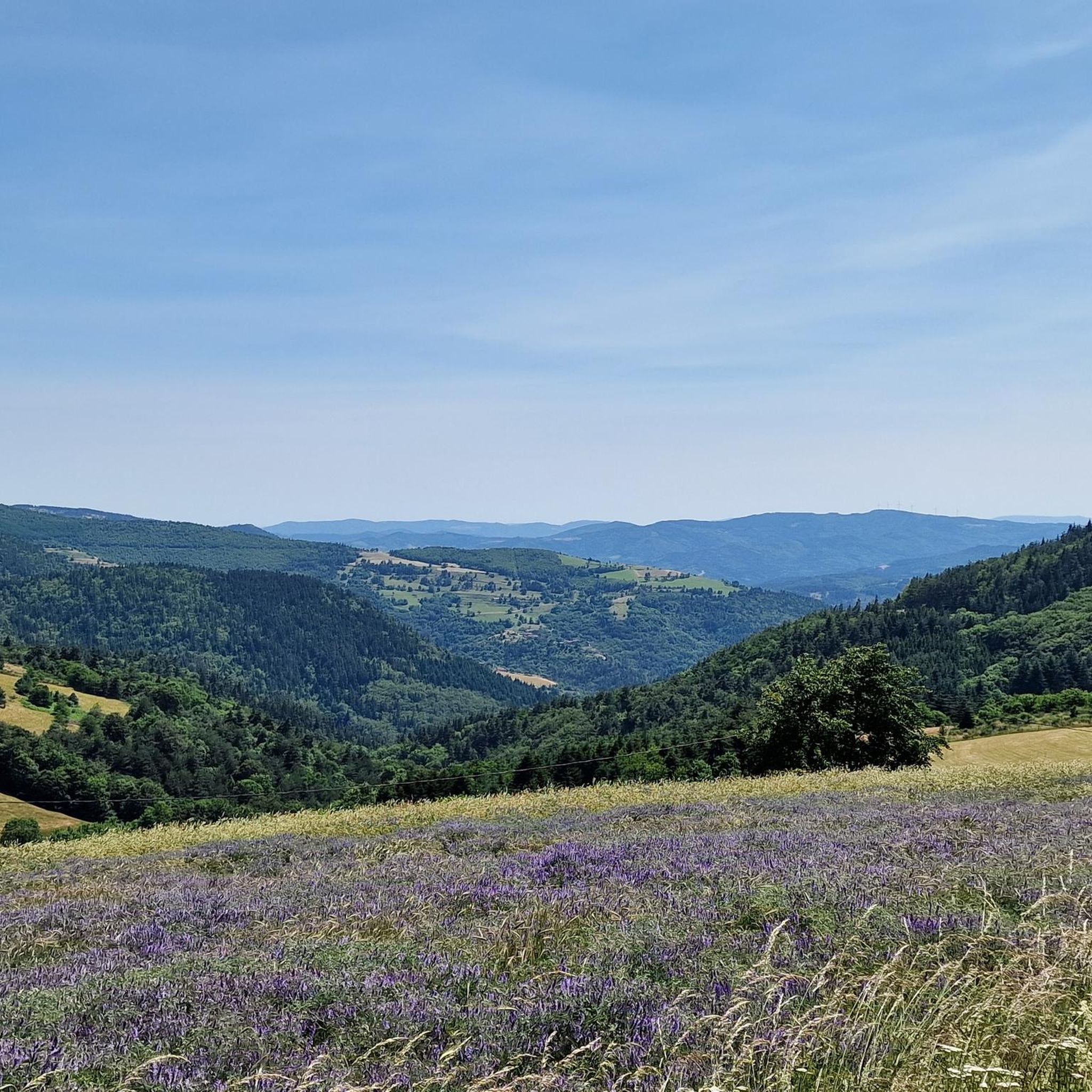
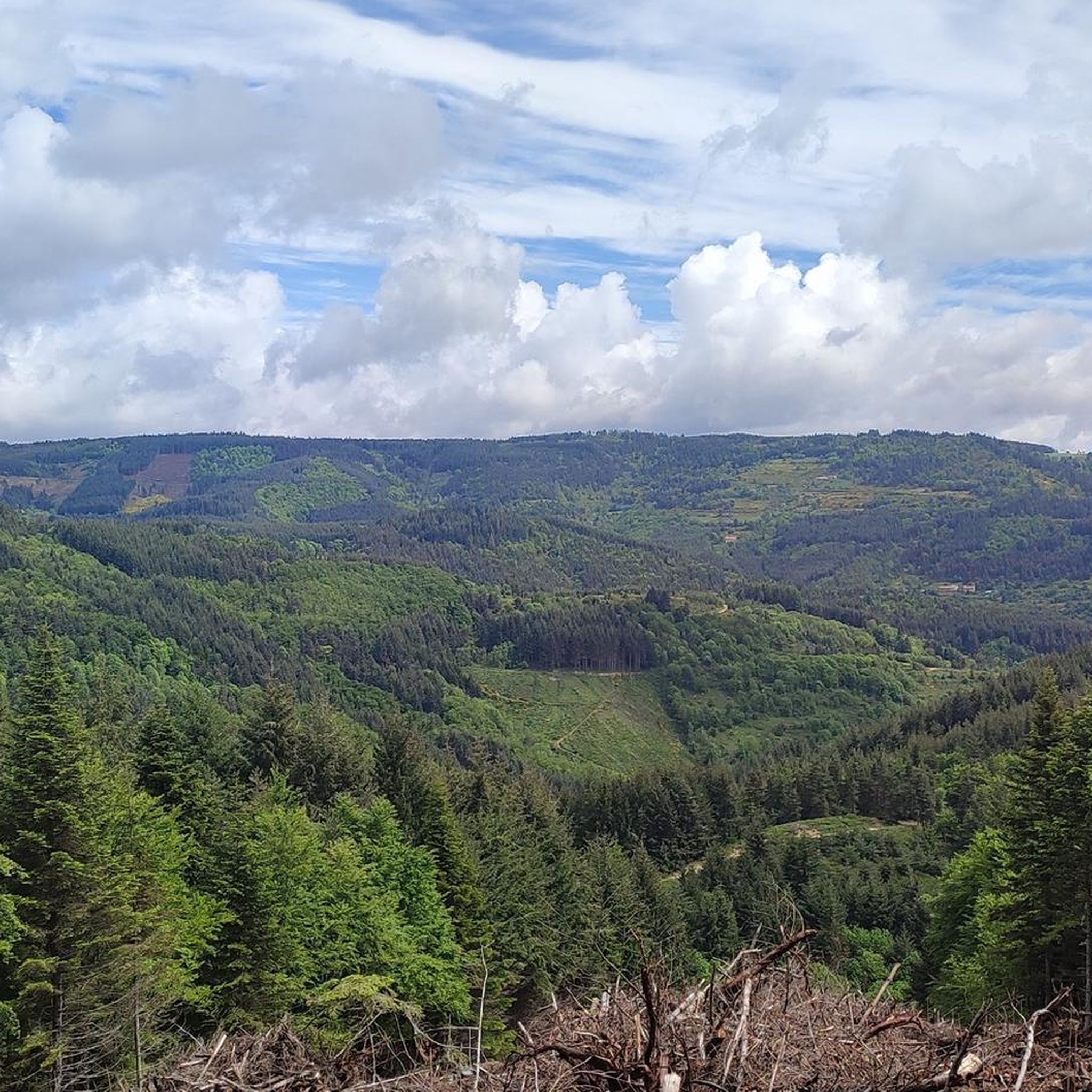
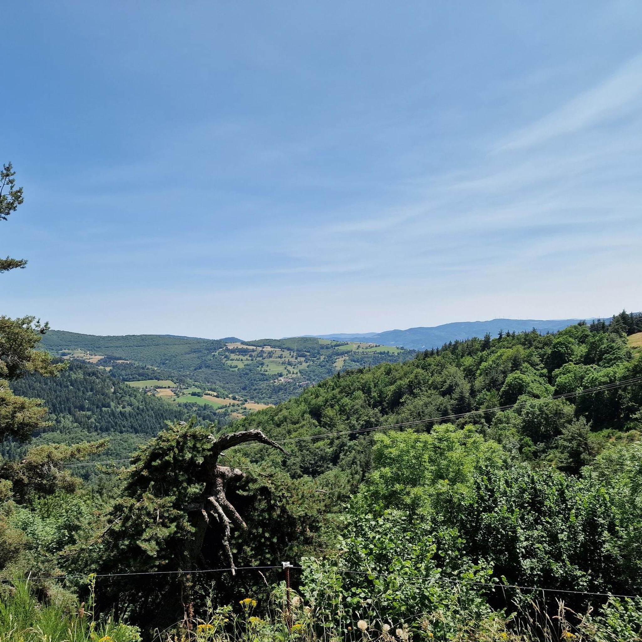
Hiking around Saint-Pierre-Sur-Doux offers access to varied and picturesque natural landscapes in the Ardèche department of southern France. Nestled in pine-covered mountains, the commune lies on the Doux river, providing direct access to scenic trails. The village is situated at elevations ranging from 660 to 1,325 meters, offering diverse terrain and viewpoints of the surrounding wild valleys. From here, hikers can enjoy views showcasing the Alps, Mont Mézenc, and Mont Gerbier de Jonc.
Best hiking trails around Saint-Pierre-Sur-Doux
- The most…
Last updated: June 29, 2026
4.5
(8)
40
hikers
6.30km
01:51
180m
180m
Easy hike. Great for any fitness level. Easily-accessible paths. Suitable for all skill levels.
4.6
(9)
45
hikers
15.0km
04:31
500m
500m
Moderate hike. Good fitness required. Easily-accessible paths. Suitable for all skill levels.

Sign up for free
4.7
(7)
23
hikers
4.28km
01:20
140m
140m
Easy hike. Great for any fitness level. Easily-accessible paths. Suitable for all skill levels.
4.3
(3)
16
hikers
12.5km
03:53
470m
460m
Moderate hike. Good fitness required. Easily-accessible paths. Suitable for all skill levels.
5.0
(2)
8
hikers
3.95km
01:09
100m
100m
Easy hike. Great for any fitness level. Easily-accessible paths. Suitable for all skill levels.
Get access to more routes and recommendations from other explorers.
Sign up for free
Already have an account?
Our route recommendations are based on thousands of hikes, rides, and runs completed by other people on komoot.
Start today with a free account
Your next adventure awaits.
Login or Signup
Tips from the Community

Lively place, lots of shops.
0
0

Very nice route - with a great descent.
1
0

The mountain of Suc de Mirabel is at an altitude of 1161 meters.
0
0
At the Col du Faux, you are at an altitude of more than 1000 meters and Mont Mézenc shows itself in all its grandeur while Mont Gerbier de Jonc makes its appearance.
0
0

Place Jean Béal is located in the heart of the village of Saint-Bonnet-le-Froid. It overlooks the Saint-Bonnet church and is an ideal stop for a coffee or for lunch.
0
0

The Col du Faux from Saint-Félicien is 10.4 km long with a total drop of 481 m. The average gradient is 4.6% with maximum gradients of 8.8%.
2
0
The Col des Baraques from Annonay is 25 km long with a total drop of 720 m. The average gradient is 2.8% with maximum gradients of 5.5%.
1
0

Beautiful pass to discover
0
0
Frequently Asked Questions
How many hiking trails are available around Saint-Pierre-Sur-Doux?
There are over 80 hiking trails around Saint-Pierre-Sur-Doux, offering a wide range of options for different skill levels and preferences.
Are there easy hiking options suitable for beginners or families?
Yes, Saint-Pierre-Sur-Doux offers many easy trails. For a short, accessible walk with beautiful views, consider the Promenade de Chaudeval, a marked loop around the village. Another easy option is the Col des Baraques (1072 m) loop from Saint-Bonnet-le-Froid, which is 4.3 km long and takes about 1 hour 19 minutes.
What kind of terrain can I expect on hikes in Saint-Pierre-Sur-Doux?
The region features diverse terrain, ranging from the gentle slopes of the Doux river valley to pine-covered mountains. Elevations vary significantly, from 660 to 1,325 meters, providing varied landscapes and rewarding viewpoints of wild valleys, and even distant views of the Alps, Mont Mézenc, and Mont Gerbier de Jonc.
Are there any circular hiking routes in the area?
Yes, many of the trails around Saint-Pierre-Sur-Doux are circular routes. For example, the popular Suc de Mirabel loop from Lalouvesc is an easy 6.3 km trail, and the moderate Beautiful House loop from Saint-Bonnet-le-Froid covers 12.1 km.
What are some interesting landmarks or natural features to see along the trails?
Hikers can discover several interesting points of interest. You might encounter various mountain passes like Buisson Pass or Col du Fau (1021 m). The region also features the scenic Doux river valley and pine-covered mountains. For a tranquil spot, Lake Devesset is also nearby.
Is Saint-Pierre-Sur-Doux a good destination for dog-friendly hiking?
Yes, Saint-Pierre-Sur-Doux is generally pet-friendly. Many trails, including the Promenade de Chaudeval, are suitable for walking with dogs. Always ensure your dog is under control and check local regulations for specific routes.
When is the best time of year to go hiking in Saint-Pierre-Sur-Doux?
The inter-season (spring and autumn) is particularly pleasant for hiking in the Doux valley, offering significant variations in climate and vegetation. Summer is also popular, but be prepared for warmer temperatures. Winter hikes are possible, especially at lower elevations, but higher mountain areas may require appropriate gear.
Are there challenging hikes for experienced hikers?
Yes, while there are many easy and moderate options, Saint-Pierre-Sur-Doux also offers 8 difficult trails for those seeking a greater challenge. These routes often involve more significant elevation changes and longer distances, providing a rewarding experience for experienced hikers.
What do other hikers enjoy most about hiking in Saint-Pierre-Sur-Doux?
The area is highly rated by the komoot community, with an average score of 4.6 stars from over 200 reviews. Hikers often praise the diverse terrain, the beautiful views of the wild valleys, and the peaceful, natural environment of the pine-covered mountains.
Where can I find parking for hiking trails in Saint-Pierre-Sur-Doux?
Parking is generally available in and around the village of Saint-Pierre-Sur-Doux, as well as at common starting points for popular trails. Specific parking details can often be found on individual route descriptions on komoot.
Can I reach hiking trailheads using public transport?
While Saint-Pierre-Sur-Doux is a small, peaceful village, public transport options directly to trailheads may be limited. It is advisable to check local bus schedules or consider driving to access the most convenient starting points for hikes.
Most popular routes around Saint-Pierre-Sur-Doux
Most popular attractions around Saint-Pierre-Sur-Doux

Get inspired with the komoot mobile app


Explore more
Browse the best Hikes in other regions.
