The best running trails around Saint-Symphorien-De-Mahun
4.7
(40)
766
runners
69
runs
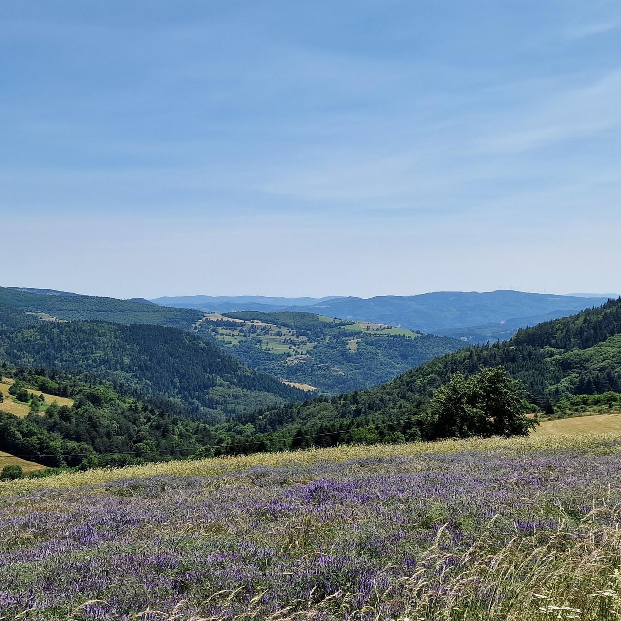
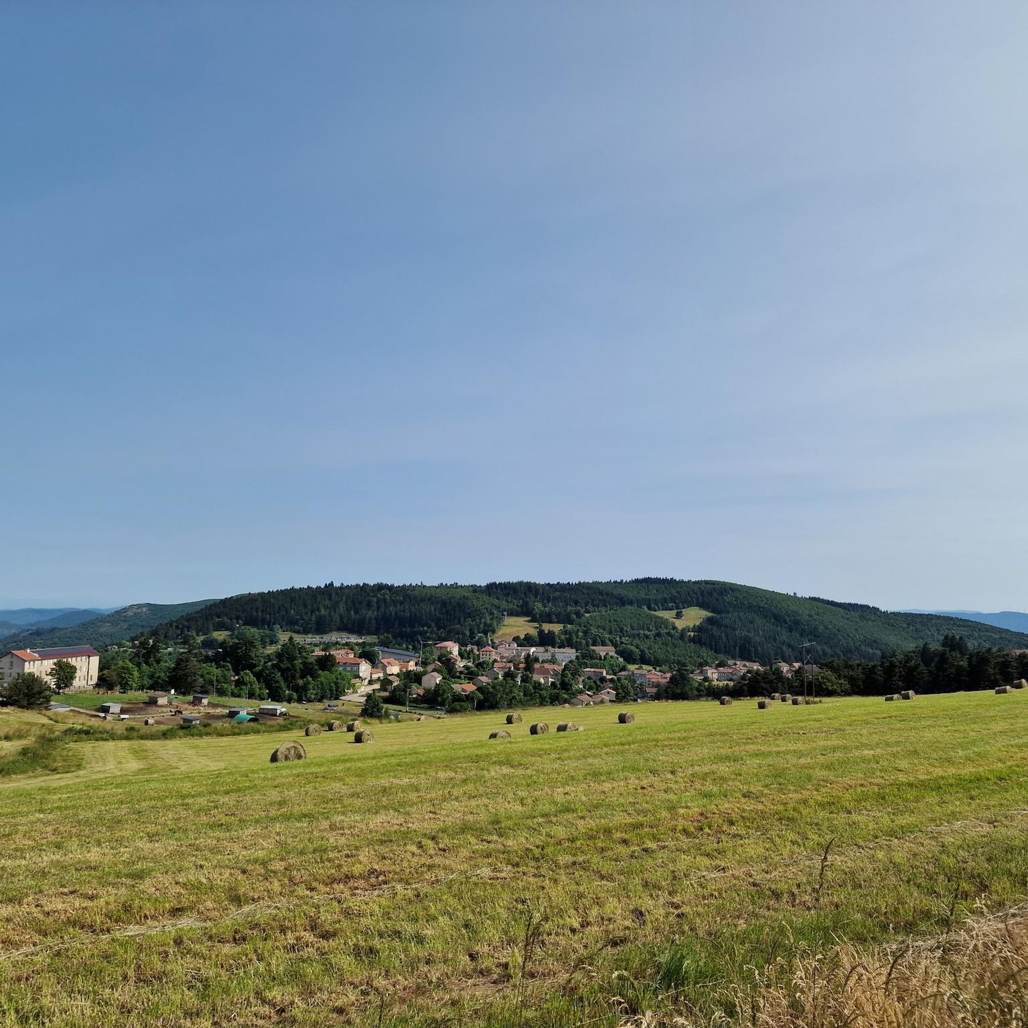
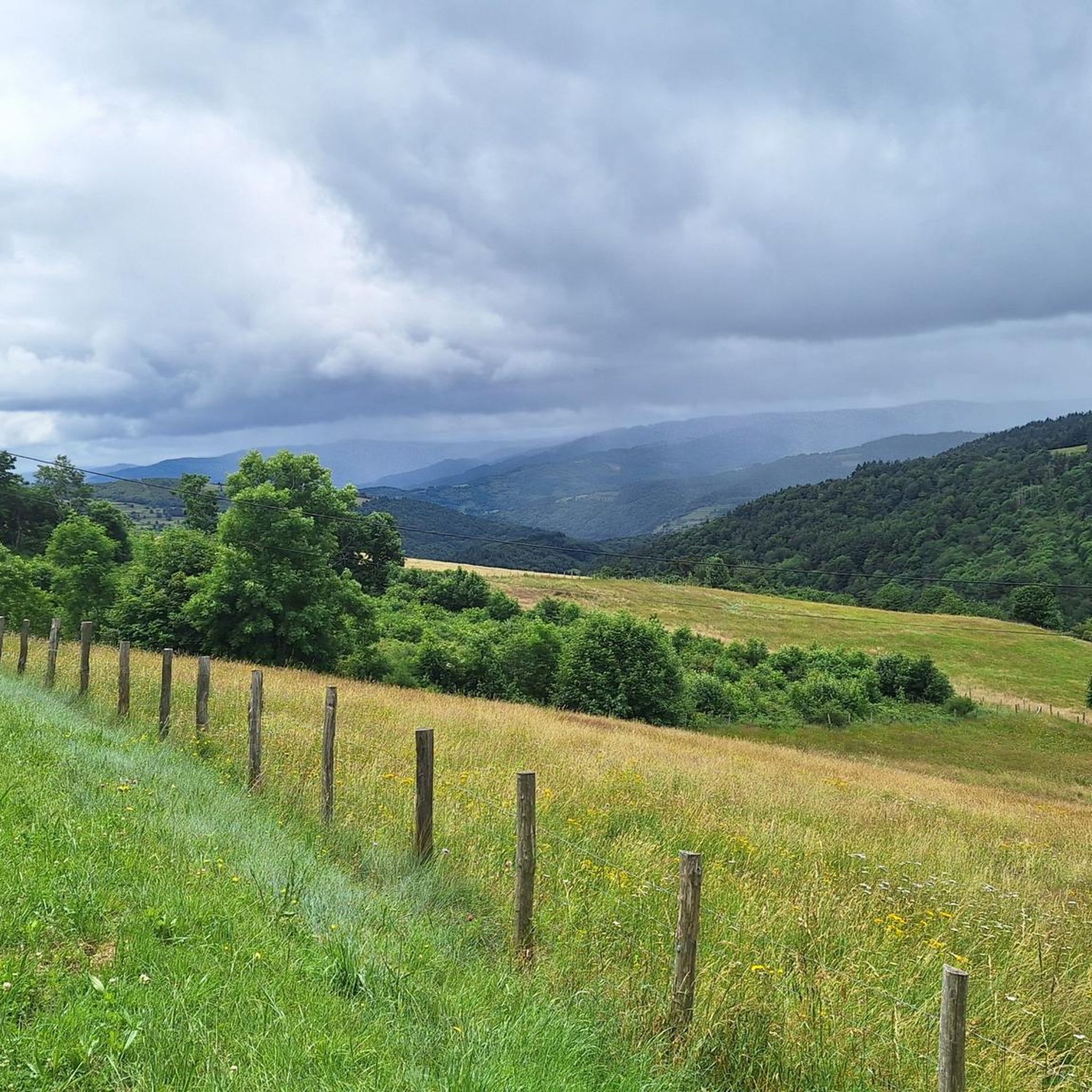
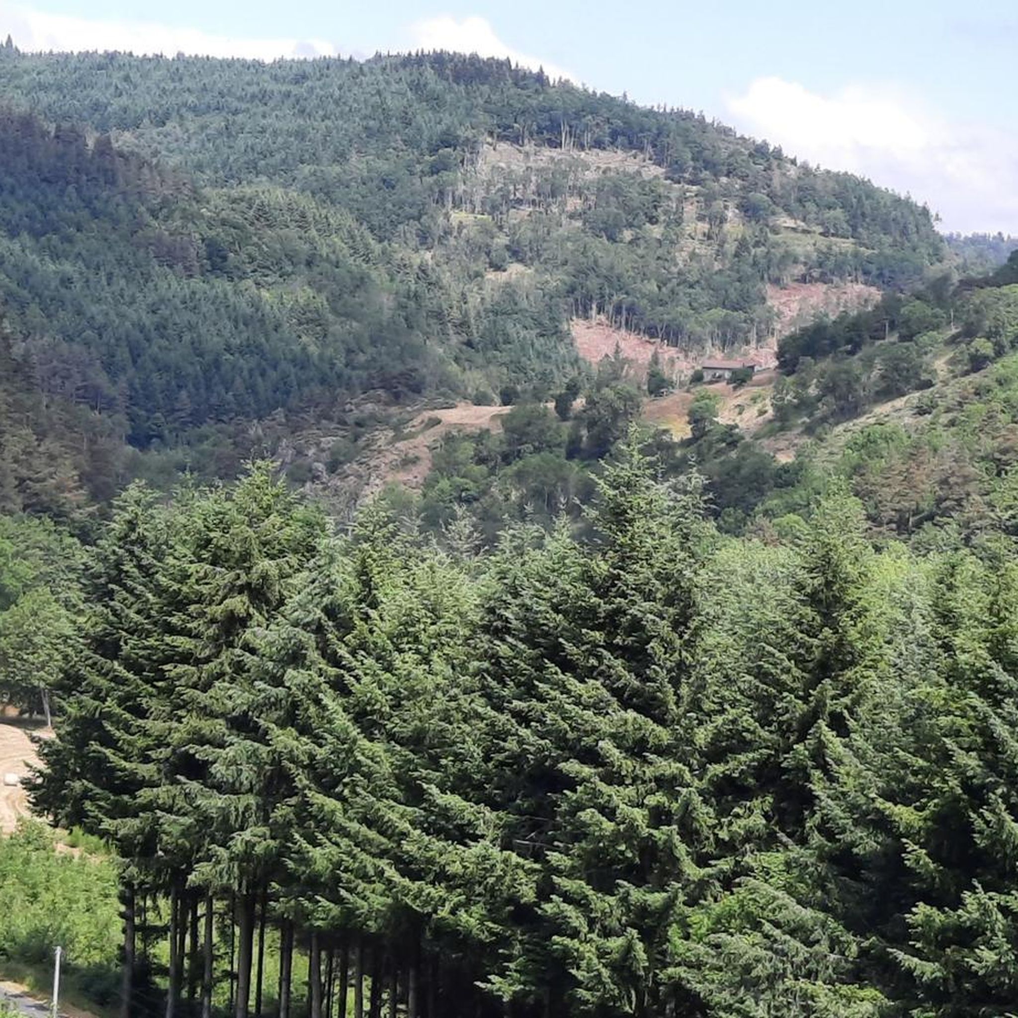
Jogging routes around Saint-Symphorien-de-Mahun traverse the varied landscapes of the Ardèche region, situated on a mountainside and bisected by the Nant valley. The terrain offers a mix of elevations, ranging from 539 to 1286 meters, providing diverse options for runners. Routes often wind through forests, flowery meadows, and along historic stone paths, with some offering panoramic views of the surrounding area. This mountainous environment provides a natural setting for physical activity.
Best jogging routes around Saint-Symphorien-de-Mahun
- The most popular jogging…
Last updated: July 1, 2026
32
runners
11.4km
01:32
430m
430m
Hard run. Very good fitness required. Mostly paved surfaces. Suitable for all skill levels.
27
runners
46.8km
06:14
1,700m
1,700m
Hard run. Very good fitness required. Mostly paved surfaces. Suitable for all skill levels.

Sign up for free
20
runners
21.9km
02:53
880m
880m
Hard run. Very good fitness required. Mostly paved surfaces. Suitable for all skill levels.
19
runners
21.3km
02:49
830m
830m
Hard run. Very good fitness required. Mostly paved surfaces. Suitable for all skill levels.
18
runners
11.8km
01:27
350m
350m
Hard run. Very good fitness required. Mostly paved surfaces. Suitable for all skill levels.
Get access to more routes and recommendations from other explorers.
Sign up for free
Already have an account?
Our route recommendations are based on thousands of hikes, rides, and runs completed by other people on komoot.
Start today with a free account
Your next adventure awaits.
Login or Signup
Tips from the Community

Beautiful downhill finish for the end of L'Ardéchoise. Be careful at the end of the descent with some very technical turns.
0
1

Very nice route - with a great descent.
1
0

The mountain of Suc de Mirabel is at an altitude of 1161 meters.
0
0
At Le Sardier, the landscapes are revealed and the viewpoints are linked to the chain of the Alps on one side and the Ardèche plateau on the other.
0
0

The Col du Buisson from Saint Félicien is 13km long with a total drop of 377m. The average gradient is 2.9% with maximum gradients of 7.7%.
2
1

A small "highlight" - and a small snack in the Village Miniature, you can also get in for free if you just want to buy something to drink. We were served very friendly and were able to eat the food we had brought with us.
0
0

Nice view, correct access from the village, Be careful, the descent on the forest side promises to be sporty with a lot of stones! Personally, I did not hesitate to lengthen my route a little...
1
0

We came from Orleans in 2021 in memory of this cyclist. We were not the only ones, several hundred people this weekend. Ardéchoise date canceled due to COVID.
1
0
Frequently Asked Questions
How many running routes are available in Saint-Symphorien-de-Mahun?
There are nearly 70 running routes around Saint-Symphorien-de-Mahun, offering a wide variety of options for different skill levels and preferences. The komoot community has explored these trails over 700 times.
What kind of terrain can I expect on the running trails here?
The terrain in Saint-Symphorien-de-Mahun is quite varied, ranging from 539 to 1286 meters in altitude. You'll find trails winding through dense forests, across flowery meadows, and along historic stone paths. The region is characterized by its mountainous environment and is bisected by the Nant Valley, providing both challenging climbs and more gentle sections.
Are there options for beginner runners or those looking for an easy jog?
While many routes in the area are rated moderate to difficult, the region does offer paths suitable for less experienced runners. The varied terrain includes easier sections through meadows, though dedicated 'easy' routes are less common. It's best to check individual route details for elevation and distance to find one that matches your fitness level.
Can I find running routes with scenic viewpoints?
Absolutely. Saint-Symphorien-de-Mahun is known for its panoramic views. Locations like Rochebloine and the rocky summit of Le Chirat Blanc (at 1100m) offer magnificent vistas over the Vocance valley and even as far as the Loire. The Veyrines church tower also provides great views of the surrounding valley. Many routes are designed to take advantage of these stunning outlooks.
Are there any circular running routes in the area?
Yes, many of the running paths around Saint-Symphorien-de-Mahun are circular, allowing you to start and finish at the same point. For example, the challenging Col du Faux – Col du Faux loop from Lalouvesc is a popular option, as is the longer Buisson Pass – Col du Buisson loop from Lalouvesc.
What historical sites or landmarks can I see while running?
You can incorporate several historical and natural landmarks into your runs. The remains of Mahun Castle, situated north of the village, offer a commanding view. The 12th-century Veyrines Church, a listed Romanesque monument, is also a unique sight. Additionally, you might encounter various mountain passes such as Buisson Pass or Rouvey Pass, which are often part of the running network.
What do other runners enjoy the most about jogging in Saint-Symphorien-de-Mahun?
The running routes in Saint-Symphorien-de-Mahun are highly rated by the komoot community, with an average score of 4.6 out of 5 stars from over 30 reviews. Runners often praise the diverse terrain, the beautiful panoramic views, and the opportunity to explore the natural beauty of the Ardèche region through dense forests and varied elevations.
Is Saint-Symphorien-de-Mahun suitable for trail running?
Absolutely. The varied landscapes, including mountainous terrain, forests, and paths with significant elevation changes, make Saint-Symphorien-de-Mahun an excellent destination for trail running. Many routes, such as the Col du Faux – Col Robert Marchand (911 m) loop from Lalouvesc, offer challenging climbs and descents typical of trail running.
Are the running trails in Saint-Symphorien-de-Mahun dog-friendly?
While specific regulations can vary, generally, dogs are welcome on trails in the Ardèche region, especially if kept on a leash. It's always advisable to check local signage or specific route descriptions for any restrictions, particularly in protected natural areas. Ensure your dog is accustomed to varied terrain and elevation changes.
What is the best season for running in Saint-Symphorien-de-Mahun?
The varied climate of the Ardèche means that spring and autumn often offer the most pleasant running conditions, with milder temperatures and beautiful scenery. Summer can be warm, especially at lower altitudes, so early morning or late afternoon runs are recommended. Winter can bring colder temperatures and potentially snow at higher elevations, adding a different challenge for experienced runners.
Are there any less crowded running trails for a more peaceful experience?
Given the extensive network of trails and the natural, wild character of the region, it's generally possible to find less crowded routes, especially outside of peak tourist times. Exploring some of the longer or more challenging routes, such as the Suc de Mirabel loop from Lalouvesc, might offer a more solitary experience compared to popular, shorter loops.
Most popular routes around Saint-Symphorien-De-Mahun
Most popular attractions around Saint-Symphorien-De-Mahun

Get inspired with the komoot mobile app


Explore more
Browse the best Running Trails & Routes in other regions.
