The best walks and hikes around Saint-Symphorien-De-Mahun
4.6
(176)
1,126
hikers
111
hikes
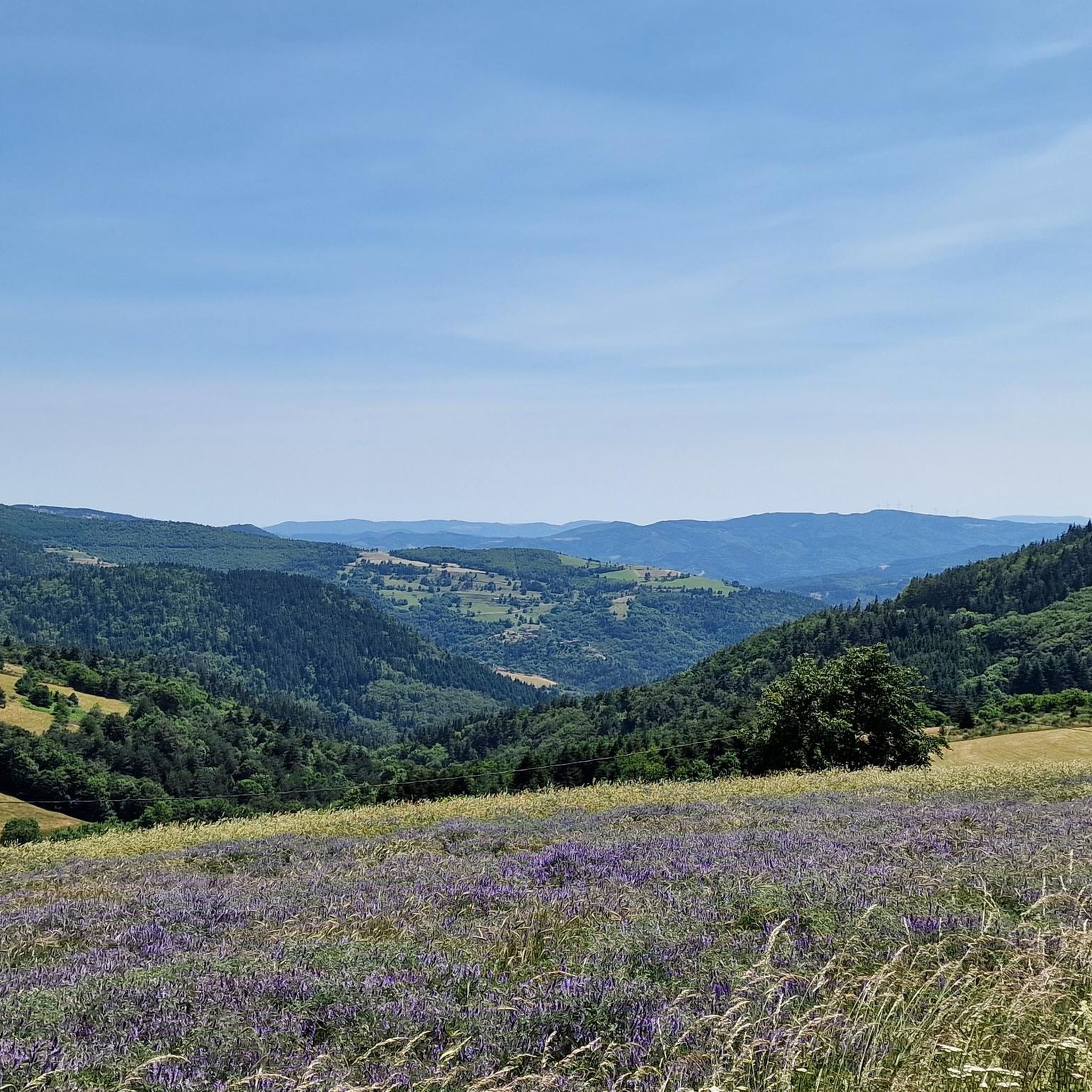
Hiking trails around Saint-Symphorien-De-Mahun traverse a mountainous landscape in the Ardèche department of Southern France, with elevations ranging from 539 to 1,286 meters. The region is characterized by prominent peaks like Mont Chaix and Suc du Barry, and the Nant valley. Located in the Haut Vivarais, the area offers diverse natural features for outdoor activities.
Best hiking trails around Saint-Symphorien-De-Mahun
- The most popular hiking route is Boiray Grand Tour – Château and Rocher de Mahun loop from Le Serre,…
Last updated: July 1, 2026
4.2
(5)
35
hikers
11.3km
03:35
470m
460m
Moderate hike. Good fitness required. Easily-accessible paths. Suitable for all skill levels.
4.5
(4)
28
hikers
Moderate hike. Good fitness required. Easily-accessible paths. Suitable for all skill levels.

Sign up for free
4.7
(3)
25
hikers
12.8km
03:41
300m
300m
Moderate hike. Good fitness required. Easily-accessible paths. Suitable for all skill levels.
4.3
(3)
16
hikers
12.5km
03:53
470m
460m
Moderate hike. Good fitness required. Easily-accessible paths. Suitable for all skill levels.
5.0
(3)
11
hikers
14.4km
04:15
420m
420m
Moderate hike. Good fitness required. Easily-accessible paths. Suitable for all skill levels.
Get access to more routes and recommendations from other explorers.
Sign up for free
Already have an account?
Our route recommendations are based on thousands of hikes, rides, and runs completed by other people on komoot.
Start today with a free account
Your next adventure awaits.
Login or Signup

Tips from the Community

Beautiful hike, be careful, the climb up Chirat Blanc is very rocky. Take the short detour to see the castle ruins, the view is worth it.
0
0

Very nice route - with a great descent.
1
0

The mountain of Suc de Mirabel is at an altitude of 1161 meters.
0
0
At the Col du Faux, you are at an altitude of more than 1000 meters and Mont Mézenc shows itself in all its grandeur while Mont Gerbier de Jonc makes its appearance.
0
0


The Col du Faux from Saint-Félicien is 10.4 km long with a total drop of 481 m. The average gradient is 4.6% with maximum gradients of 8.8%.
2
0

Beautiful pass to discover
0
0

My pilgrimage as soon as I am in the region
1
0
Frequently Asked Questions
How many hiking trails are available around Saint-Symphorien-De-Mahun?
There are over 90 hiking routes in the Saint-Symphorien-De-Mahun area, offering a wide range of options for different skill levels and preferences.
Are there easy hiking trails suitable for beginners or casual walkers?
Yes, Saint-Symphorien-De-Mahun offers more than 20 easy hiking trails. These routes typically have less elevation gain and shorter distances, perfect for a relaxed stroll through the scenic landscape.
What kind of natural features can I expect to see on the trails?
The trails traverse a mountainous landscape with elevations up to 1,286 meters, featuring prominent peaks like Mont Chaix and Suc du Barry. You'll also explore the picturesque Nant valley and the 'green and wild' natural sites of the Haut Vivarais region, known for its rich biodiversity.
Are there any historical sites or landmarks to discover while hiking?
Absolutely. Many trails combine natural beauty with historical discovery. You can explore the ruins of the medieval Château and Rocher de Mahun, which offer panoramic views. The village itself boasts historic architecture, including the 12th-century Veyrines church. Some routes, like the Les Bornes des Afares – Château and Rocher de Mahun loop from Saint-Symphorien-de-Mahun, specifically feature these historical points of interest.
Are there circular hiking routes available?
Yes, many of the trails around Saint-Symphorien-De-Mahun are designed as circular routes, allowing you to start and end at the same point. An example is the Col du Faux – Col du Faux loop from Lalouvesc, which takes you through varied terrain.
Can I hike with my dog in Saint-Symphorien-De-Mahun?
While specific regulations for dogs on trails can vary, generally, the natural and rural setting of Saint-Symphorien-De-Mahun is welcoming to dogs. It's always recommended to keep your dog on a leash, especially in areas with livestock or wildlife, and to carry waste bags. Most trails are unpaved and suitable for pets.
Are there challenging hikes for experienced trekkers?
Yes, for those seeking a more demanding experience, there are 10 difficult trails available. These routes typically involve significant elevation changes and longer distances, offering a good challenge amidst the mountainous terrain of the Haut Vivarais.
What do other hikers say about the trails in Saint-Symphorien-De-Mahun?
The routes in Saint-Symphorien-De-Mahun are highly rated by the komoot community, with an average score of 4.5 stars from over 140 reviews. Hikers often praise the diverse terrain, the stunning views, and the combination of natural beauty with historical elements.
Are there shaded trails, especially for warmer months?
Yes, the region's diverse trails include options with shaded sections, providing a welcome respite during warmer months. The forested areas and valleys, such as the Nant valley, offer natural cover, making hiking more comfortable.
Can I find parking at the trailheads?
While specific parking information for every trailhead isn't always listed, Saint-Symphorien-De-Mahun is a rural area, and parking is generally available near villages or designated starting points for popular trails. It's advisable to check route descriptions for specific parking recommendations.
What are some notable mountain passes in the area?
The region is home to several mountain passes that offer scenic views and are often part of hiking routes. Notable passes include Buisson Pass, Rouvey Pass, and Col du Fau (1021 m). These passes often serve as excellent viewpoints or junctions for various trails.
Are there options for longer, more demanding day hikes?
Yes, for those looking for longer excursions, there are several routes exceeding 10 kilometers. For example, the Suc de Mirabel loop from Lalouvesc is a moderate 13.8 km trail, offering a substantial day out in the Ardèche landscape.
Most popular routes around Saint-Symphorien-De-Mahun
Most popular attractions around Saint-Symphorien-De-Mahun

Get inspired with the komoot mobile app


Explore more
Browse the best Hikes in other regions.
