The best running trails around Villechenève
4.4
(36)
1,531
runners
11
runs
Jogging around Villechenève offers access to a network of trails through varied terrain. The region features a mix of woodlands, open countryside, and rolling hills, providing diverse running environments. Elevation changes are present, with some routes including climbs over 200 meters, while others remain relatively flat. These jogging routes near Villechenève cater to different fitness levels, from moderate paths to more challenging ascents.
Best jogging routes around Villechenève
- The most popular jogging route is Mont Boussuivre loop from Villechenève,…
Last updated: July 4, 2026
62
runners
19.9km
02:32
560m
560m
Hard run. Very good fitness required. Mostly paved surfaces. Suitable for all skill levels.
23
runners
24.7km
03:04
800m
800m
Hard run. Very good fitness required. Mostly paved surfaces. Suitable for all skill levels.

Sign up for free
22
runners
19.9km
02:26
480m
480m
Hard run. Very good fitness required. Mostly accessible paths. Some sure footedness required.
9
runners
17.6km
02:07
440m
440m
Hard run. Very good fitness required. Mostly paved surfaces. Suitable for all skill levels.
10
runners
9.90km
01:09
200m
200m
Moderate run. Good fitness required. Mostly paved surfaces. Suitable for all skill levels.
Get access to more routes and recommendations from other explorers.
Sign up for free
Already have an account?
Our route recommendations are based on thousands of hikes, rides, and runs completed by other people on komoot.
Start today with a free account
Your next adventure awaits.
Login or Signup
Tips from the Community

To see the Matagrin tower on the summit of mount Bessuivre
0
0

The climb to the Croix du Signy from Villechenève is 2km long with a total difference in altitude of around 50m. The average slope is 3% with maximum slopes of 7%.
1
0

Pretty long pass on the Tarare side with a constant slope around 5%. Delimits the watershed line between the Rhône and the Loire. Do not hesitate to climb to Mont Boussuivre by extending a few hundred meters and climb to the top of the Matagrin tower to enjoy a magnificent view of the whole region.
0
0

Built in 1876, the tower was topped with a pointed roof. At the time, it served as a hunting meeting place for a local notary, Master Matagrin, then became a drinking establishment and even welcomed dance enthusiasts. A Napoleonic terminal was inserted next to the entrance door with the inscription: "Point trigo Napoléon Empereur Nov 1812".
0
0

the classic grnad around Tarare
0
0
Frequently Asked Questions
How many running routes are available around Villechenève?
There are over 220 running routes in the Villechenève area, catering to various fitness levels. This includes 13 easy, 116 moderate, and 91 difficult trails.
Are there any easy or beginner-friendly jogging routes in Villechenève?
Yes, Villechenève offers 13 easy running routes suitable for beginners or those looking for a less strenuous run. These routes typically feature gentler terrain and shorter distances.
Can I find circular running routes near Villechenève?
Absolutely. Many of the running trails around Villechenève are designed as loops, allowing you to start and finish in the same location. For example, the Le Crêt loop from Villechenève is a popular moderate option.
What kind of scenery can I expect on the running trails in Villechenève?
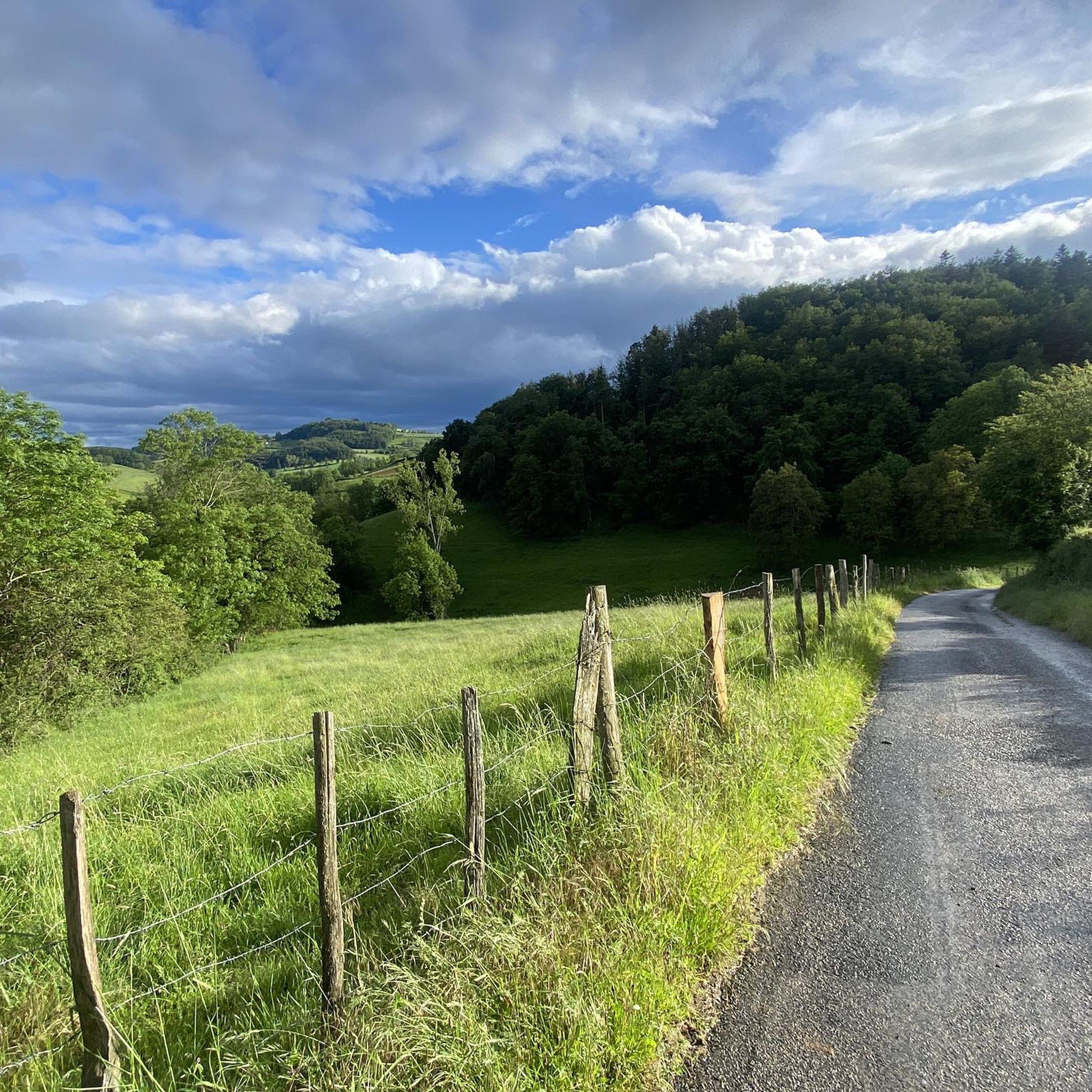
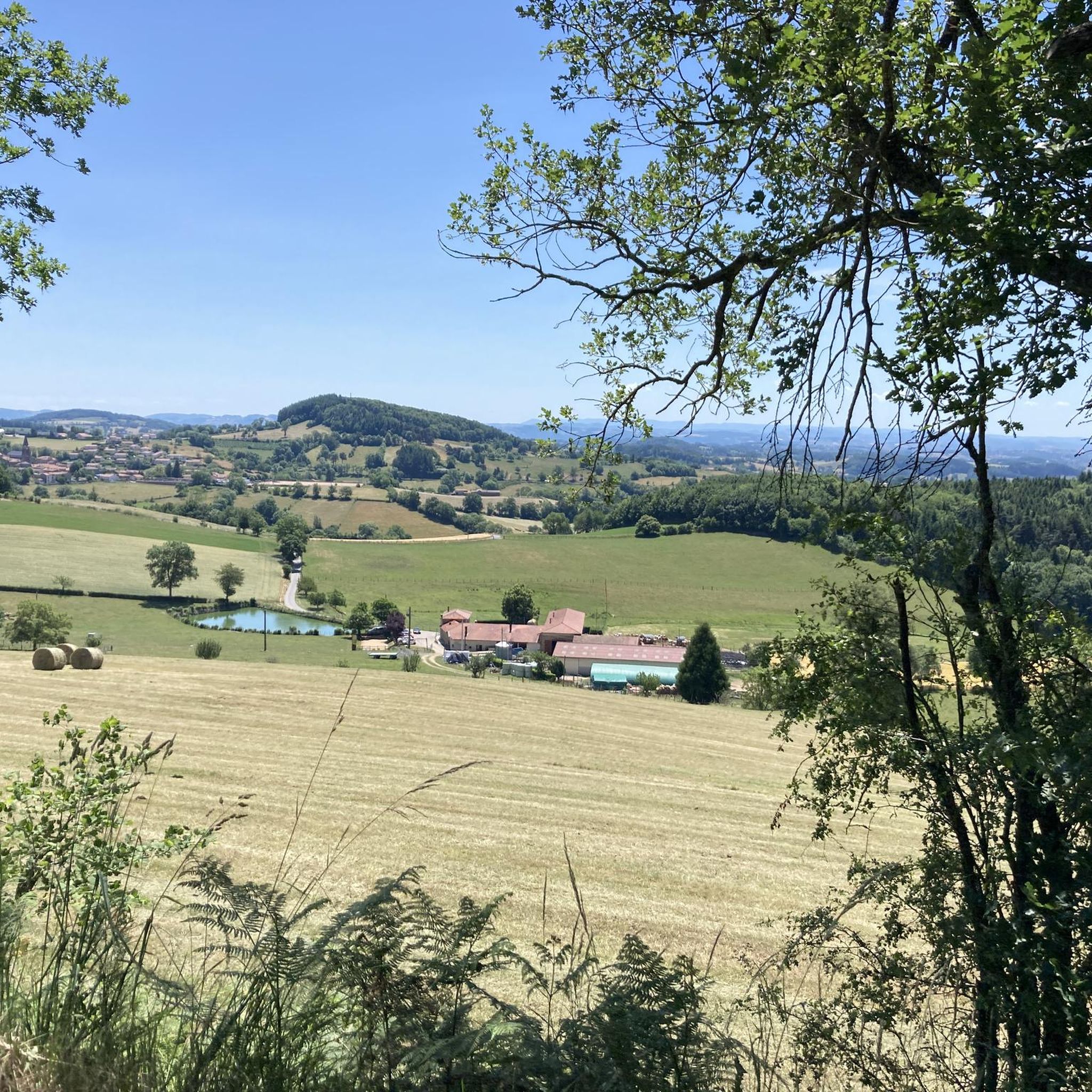
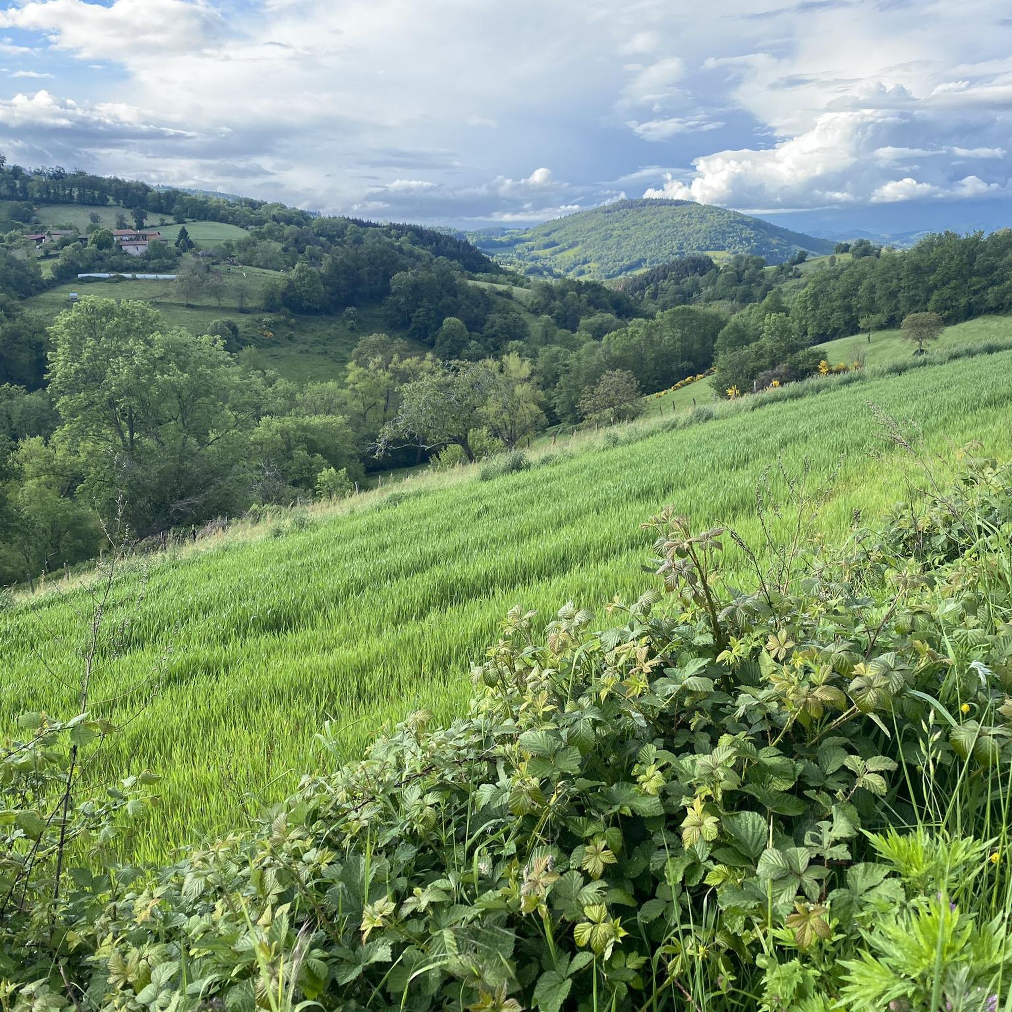
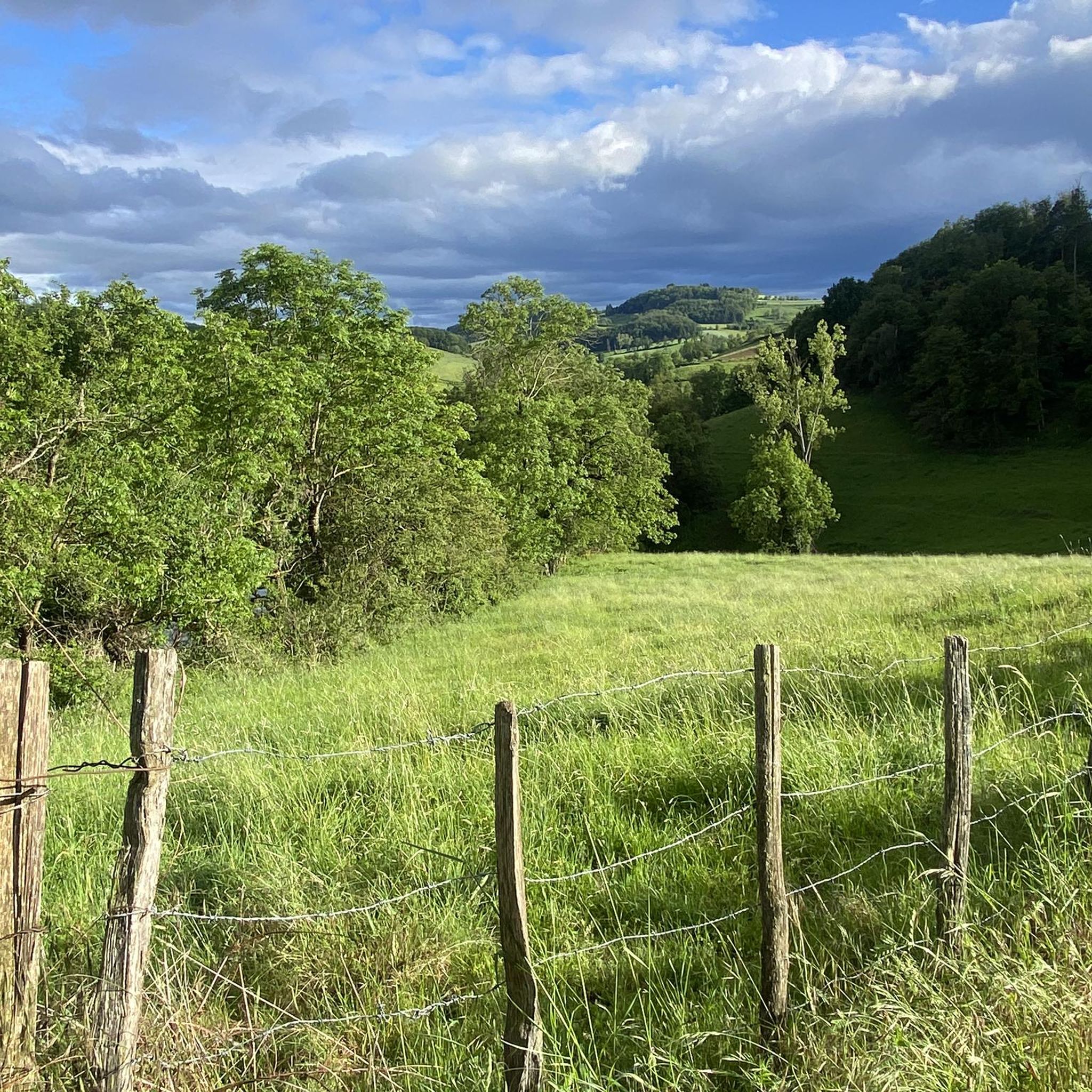
The region offers diverse scenery, including woodlands, open countryside, and rolling hills. You'll experience a mix of shaded forest paths and expansive views across the landscape.
Are there any running routes that pass by interesting landmarks or attractions?
While specific routes aren't tied to every attraction, the general area around Villechenève features points of interest like the Col de la Croix de Mazieux and the Col des Cassettes (622 m). You can often find trails that offer views or access to these natural features.
What do other runners say about the trails in Villechenève?
The running routes in Villechenève are highly rated by the komoot community, with an average score of 4.3 stars from over 30 reviews. Runners often praise the varied terrain and the peaceful, natural environment.
Are the running routes in Villechenève suitable for families?
Many of the easier and moderate routes are suitable for families, especially those with some running experience. The 13 easy routes are a good starting point for family outings. Always check the route details for distance and elevation to ensure it matches your family's ability.
Are dogs allowed on the running trails around Villechenève?
Generally, dogs are welcome on trails in France, especially in rural areas like Villechenève, provided they are kept under control, preferably on a leash, and you clean up after them. It's always a good idea to check local signage for any specific restrictions.
How long are the typical running routes in Villechenève?
Running routes in Villechenève vary significantly in length. You can find shorter runs like the Running loop from Charbonnière at about 6 km, to longer, more challenging options such as the Col de la Croix Cazard (865 m) – Signy Cross loop from Villechenève which is nearly 18 km.
Is parking available near the running trailheads in Villechenève?
Parking is generally available in or near Villechenève and at various starting points for the trails. For specific routes, it's best to check the individual route descriptions on komoot for detailed parking information.
What is the best time of year to go running in Villechenève?
Villechenève offers good running conditions for much of the year. Spring and autumn provide pleasant temperatures and beautiful foliage. Summer mornings and evenings are also ideal, while winter running is possible, though some trails might be muddy or require appropriate gear depending on conditions.
Are there any running routes with significant elevation gain for a challenging workout?
Yes, Villechenève is known for its rolling hills, and many routes feature significant elevation changes. For example, the Mont Boussuivre loop from Villechenève includes over 560 meters of ascent, offering a demanding workout.
Most popular routes around Villechenève
Most popular attractions around Villechenève

Get inspired with the komoot mobile app


Explore more
Browse the best Running Trails & Routes in other regions.
