The best road cycling routes around Villechenève
4.5
(37)
1,320
riders
148
rides
Road cycling routes around Villechenève are situated within the Monts du Lyonnais region, characterized by a low-mountain landscape with elevations ranging from 499 to 891 meters. This topography provides varied terrain, featuring winding roads, significant ascents, and descents suitable for road cycling. The area includes numerous valleys, meadows, woods, and forests, offering a dynamic backdrop for rides.
Best road cycling routes around Villechenève
- The most popular road cycling route is Col de la Croix Cazard (865 m) – Pommiers-en-Forez Priory…
Last updated: May 20, 2026
16
riders
Moderate road ride. Good fitness required. Mostly well-paved surfaces and easy to ride.
9
riders
Hard road ride. Very good fitness required. Mostly well-paved surfaces and easy to ride.

Sign up for free
11
riders
6.35km
00:18
80m
80m
Easy road ride. Great for any fitness level. Mostly well-paved surfaces and easy to ride.
13
riders
49.1km
02:29
850m
850m
Moderate road ride. Good fitness required. Mostly well-paved surfaces and easy to ride.
5.0
(1)
10
riders
44.4km
02:18
740m
740m
Moderate road ride. Good fitness required. Mostly well-paved surfaces and easy to ride.
Get access to more routes and recommendations from other explorers.
Sign up for free
Already have an account?
Our route recommendations are based on thousands of hikes, rides, and runs completed by other people on komoot.
Start today with a free account
Your next adventure awaits.
Login or Signup
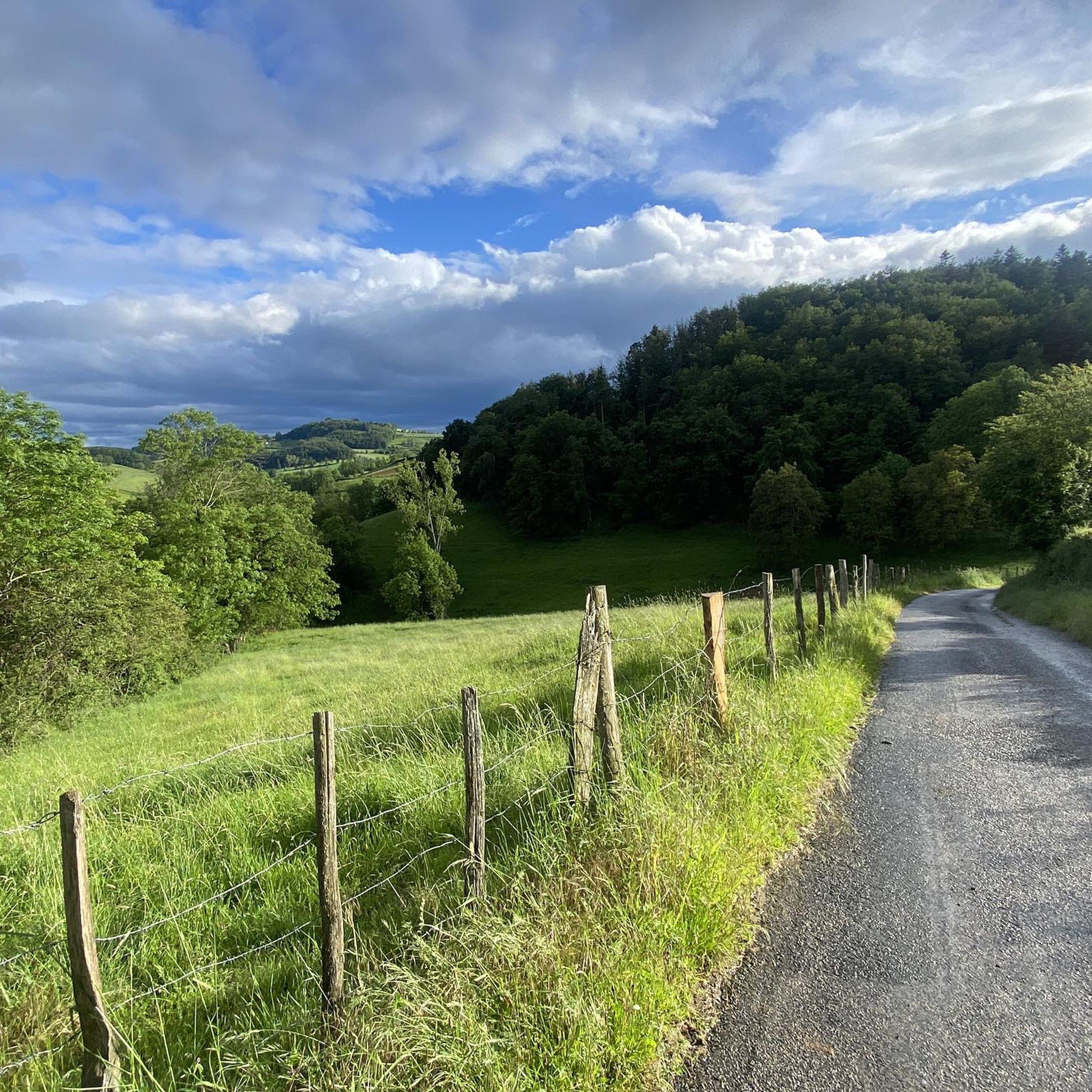
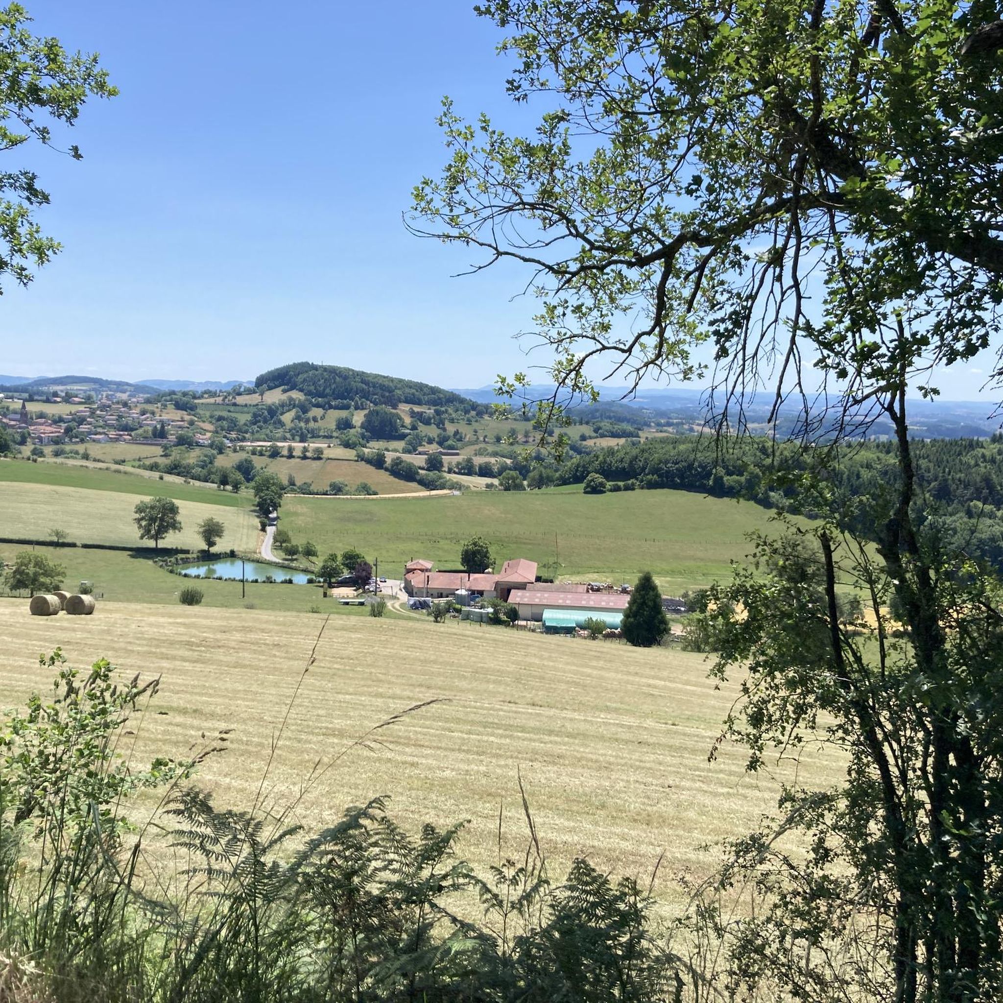
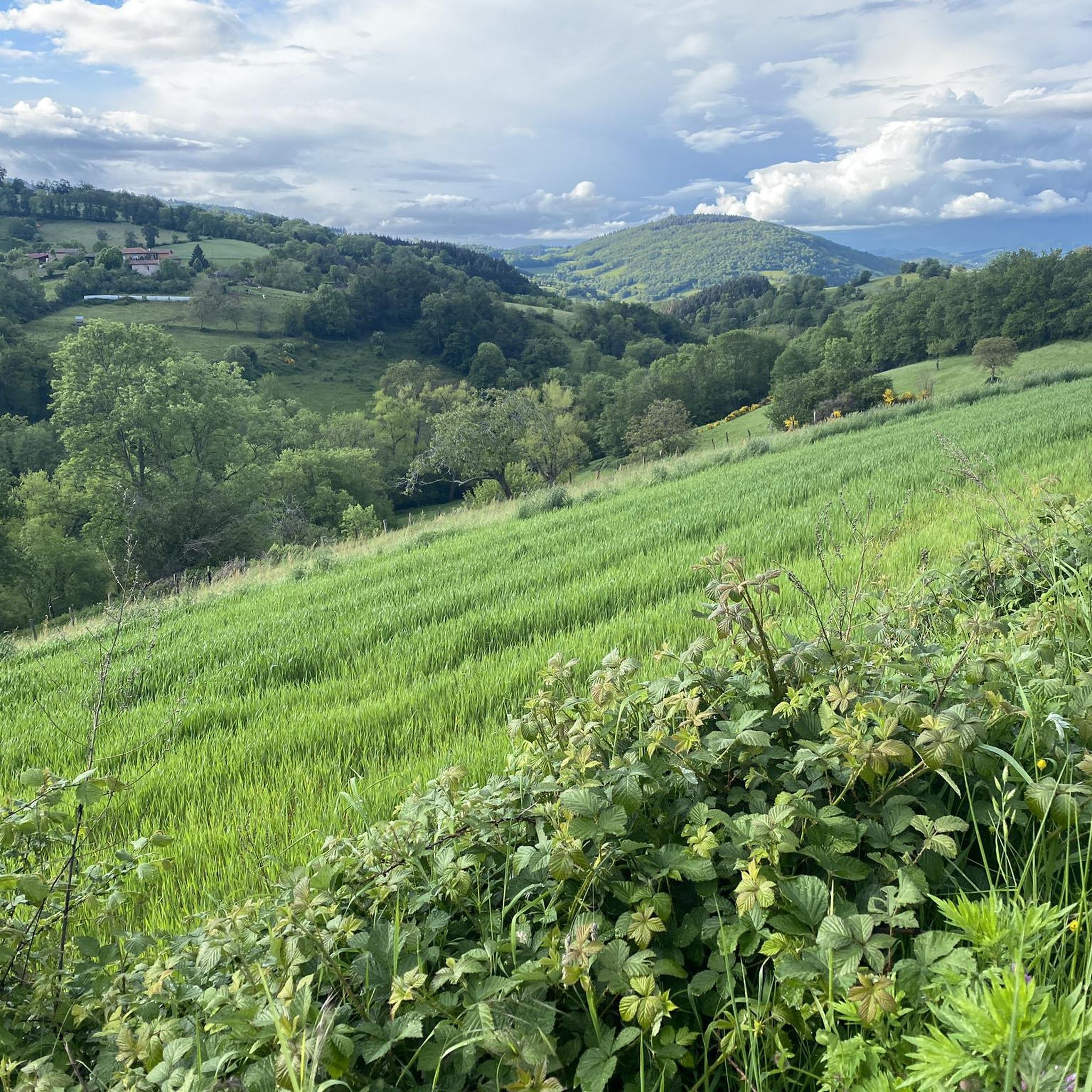
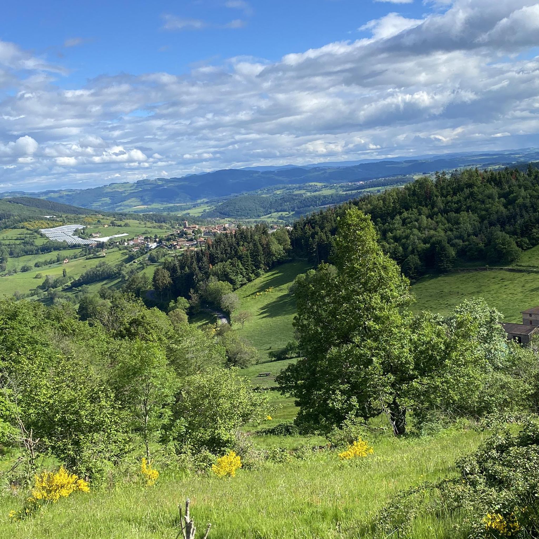
Tips from the Community

To see the Matagrin tower on the summit of mount Bessuivre
0
0

Center of the village of Chambost-Longessaigne and crossroads between the roads leading to Panissières and Villechenève
0
0

Village formed around the castle built in the 10th century, which no longer exists today.
0
0

old village with its priory to visit
0
0

It was wonderful on my way #berndscamino https://huettemann.eu/de/2024/02/bergauf-bergab-an-die-loire-berndscamino/
0
0

Water point strategically placed on the roadside (tap)
0
0

The climb to the Croix du Signy from Villechenève is 2km long with a total difference in altitude of around 50m. The average slope is 3% with maximum slopes of 7%.
1
0

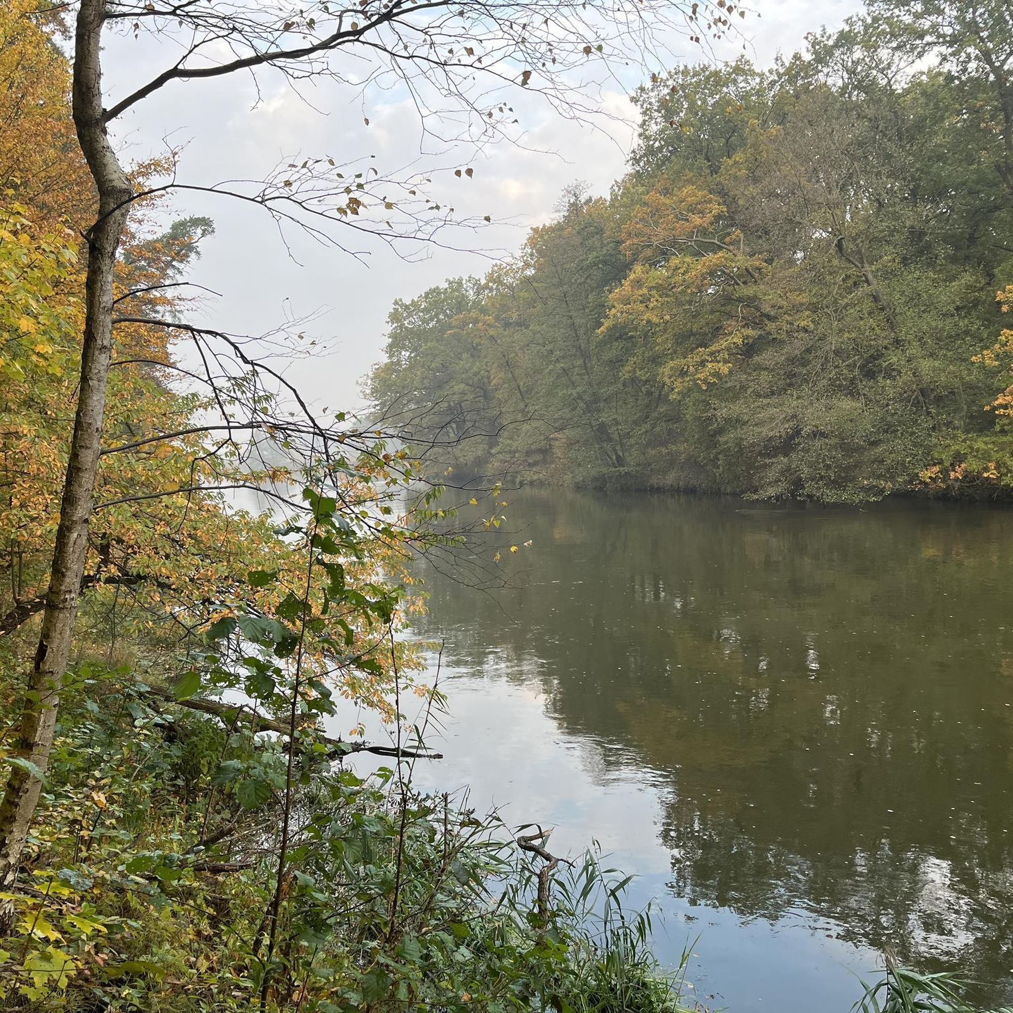
A pretty work of art in metal which allows us to have a beautiful view of the Loire.
0
0
Frequently Asked Questions
What kind of terrain can I expect when road cycling around Villechenève?
Road cycling routes around Villechenève are situated within the Monts du Lyonnais region, characterized by a low-mountain landscape with elevations ranging from 499 to 891 meters. This topography provides varied terrain, featuring winding roads, significant ascents, and descents. You'll encounter undulating hilly landscapes, picturesque valleys, and panoramic views over forests and meadows.
Are there road cycling routes suitable for beginners in Villechenève?
Yes, the region offers options for various ability levels. While many routes feature challenging climbs, there are also easier paths. For instance, the Le Rocher – Molagy loop from Longessaigne is an easy 4.0-mile (6.4 km) path, offering a gentler ride through the local countryside.
What are some challenging road cycling routes in the Monts du Lyonnais?
For experienced riders seeking a challenge, the Monts du Lyonnais offer routes with significant ascents. The Col de la Croix Cazard (865 m) – Pommiers-en-Forez Priory loop from Violay is a difficult 51.5-mile (82.8 km) trail featuring challenging ascents and descents. Another demanding option is the Col des Cassettes (622 m) – Lac des Sapins loop from Montrottier, which is 52.2 miles (84.0 km) long with varied terrain.
What natural features and viewpoints can I discover while cycling?
The Monts du Lyonnais are celebrated for their breathtaking panoramas. Cyclists can anticipate stunning vistas over valleys, meadows, woods, and forests. On clear days, you might even glimpse the distant Alps from elevated points like the Signal de Saint-André. The region's characteristic undulating, hilly landscapes and picturesque valleys provide a dynamic backdrop for rides.
Are there any historical landmarks or attractions along the routes?
Yes, beyond the natural beauty, you can find interesting landmarks. Within Villechenève, Saint-Clément-sur-Valsonne Church is a notable highlight. The region also features historical sites like medieval castles and Romanesque churches in nearby villages, adding cultural depth to your cycling excursions. You might also pass through areas near Montrottier, a charming settlement.
What do other road cyclists enjoy most about cycling in Villechenève?
The area is highly rated by the komoot community, with an average score of 4.3 stars from over 50 reviews. Road cyclists often praise the varied terrain, from challenging climbs to gentler loops, and the beautiful, dynamic landscapes of the Monts du Lyonnais.
Are there many circular road cycling routes available?
Yes, many of the road cycling routes around Villechenève are designed as loops, allowing you to start and finish in the same location. For example, the Route des Crêtes – Col de la Luère loop from Montrottier offers a scenic circular journey through the region.
When is the best time of year for road cycling in Villechenève?
The Monts du Lyonnais region is generally pleasant for cycling from spring through autumn. The mild climate during these seasons makes for comfortable riding conditions, allowing you to fully enjoy the scenic countryside and varied terrain. Always check local weather forecasts before heading out.
Are there cafes or places to stop for refreshments along the cycling routes?
The Monts du Lyonnais region, with its rural charm and quaint villages, offers opportunities to discover local heritage and traditions. Cyclists can sample local gastronomy, including specialties like Lyon sausage and goat cheeses, at numerous restaurants and cafes throughout the area, especially in the villages you'll pass through.
How many road cycling routes are available around Villechenève?
There are over 150 road cycling routes available around Villechenève, catering to a wide range of abilities. This includes 3 easy routes, 79 moderate routes, and 73 difficult routes, ensuring there's something for every cyclist.
Is there public transport access to Villechenève for cyclists?
While specific public transport options for bikes directly to Villechenève might be limited, the region is integrated into broader networks. For detailed information on public transport options and bike carriage policies in the Rhône department, it is advisable to consult local transport authorities or regional tourism websites like rhonetourisme.com.
What is the average duration of a road cycling route in this area?
The duration of routes varies significantly based on their length and difficulty. For example, an easy route like the Le Rocher – Molagy loop from Longessaigne can be completed in about 18 minutes, while a more challenging route such as the Crozat – The Inns loop from Albigny might take around 2 hours 37 minutes.
Most popular routes around Villechenève
Most popular attractions around Villechenève

Get inspired with the komoot mobile app


Explore more
Browse the best Road cycling routes in other regions.
