The best running trails around Lompnieu
4.7
(17)
1,030
runners
108
runs
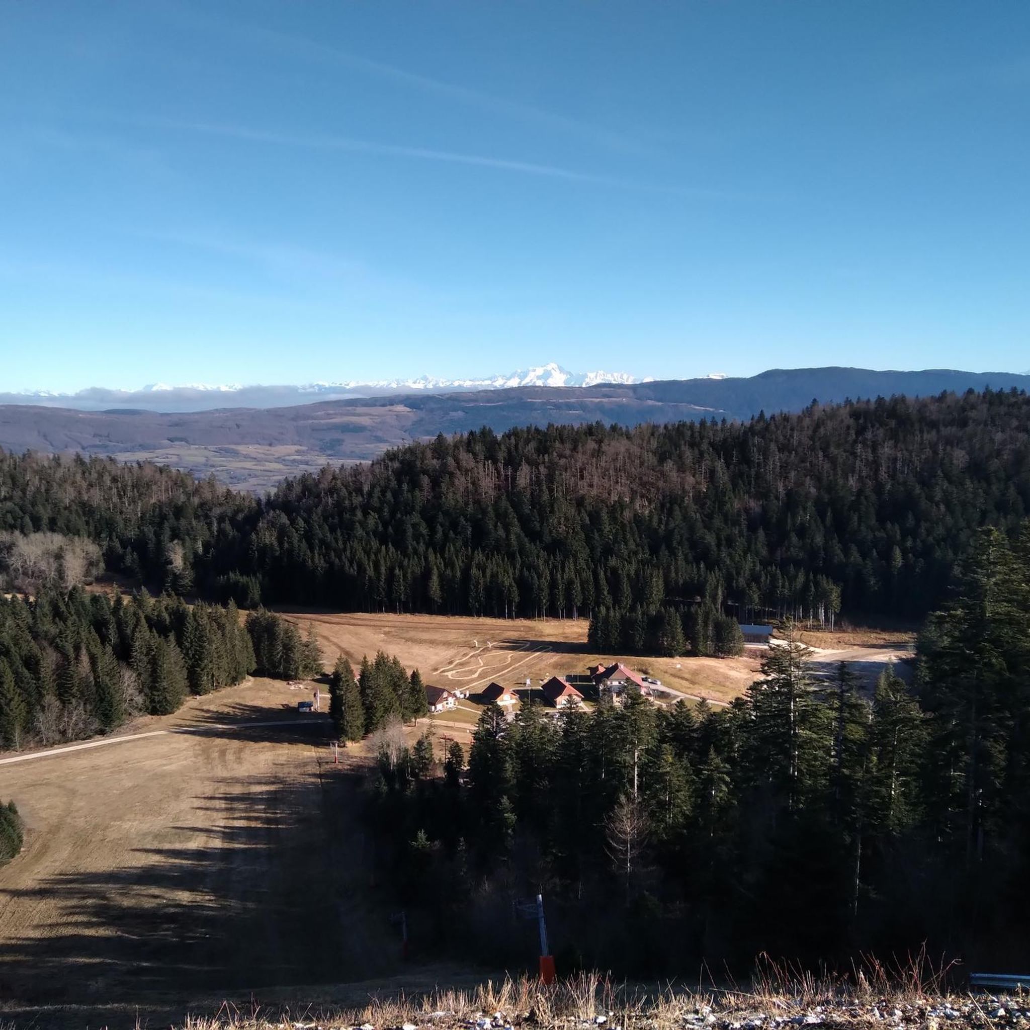
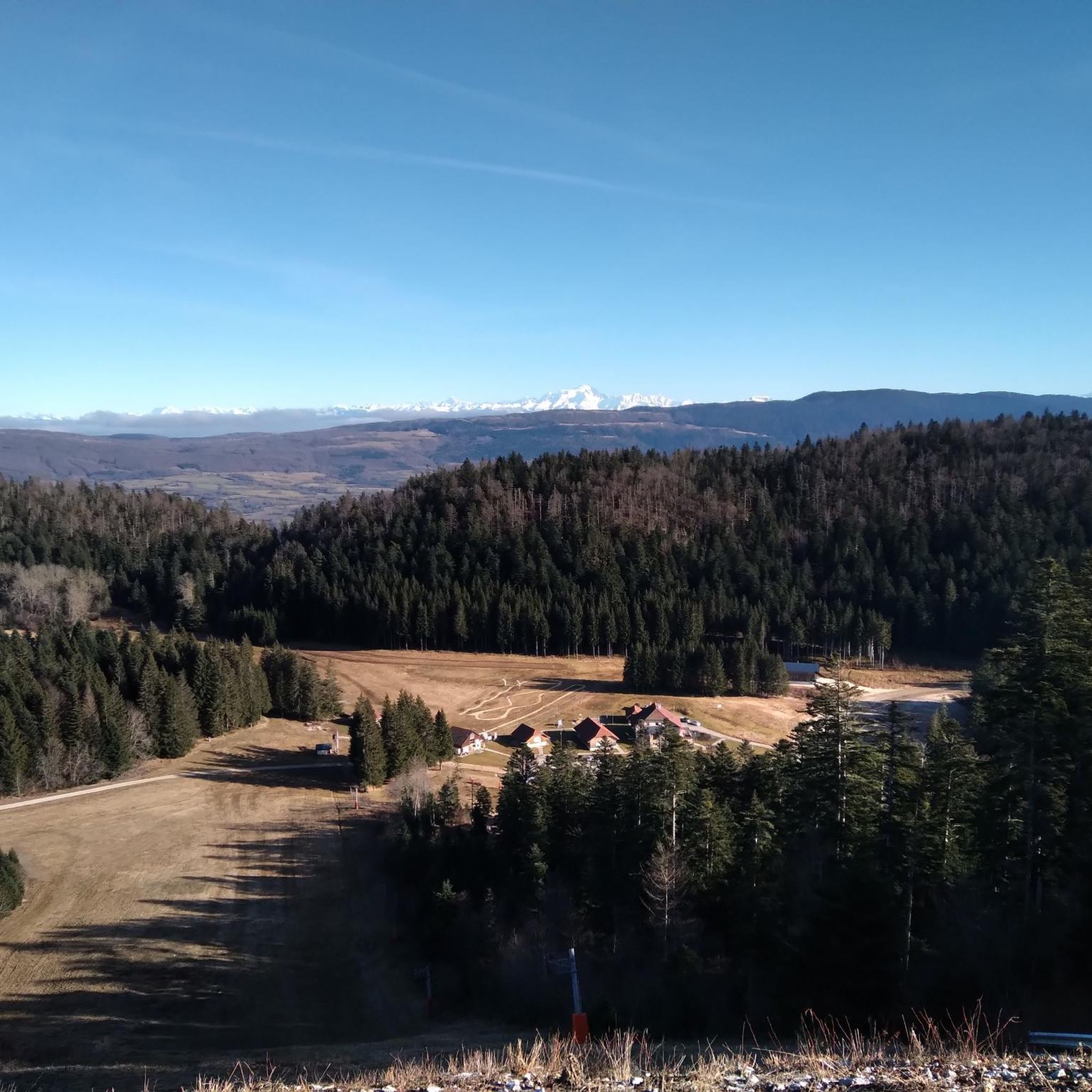
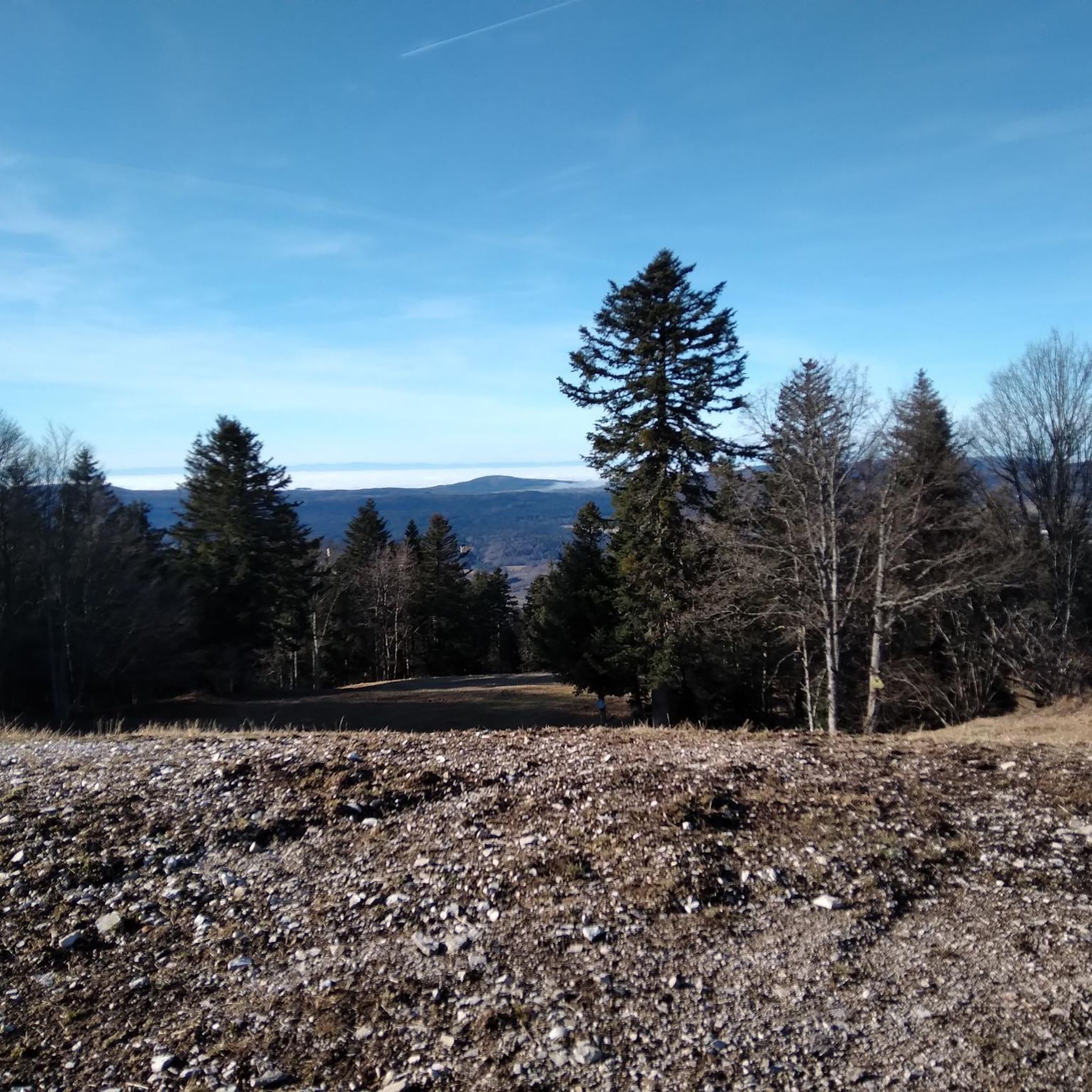
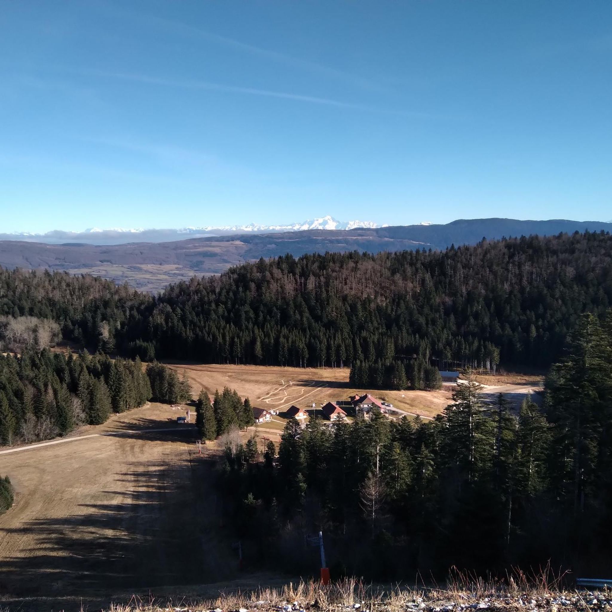
Jogging routes around Lompnieu offer diverse natural landscapes within the Valromey-sur-Séran area. The region is situated at approximately 600 meters elevation, characterized by forests, expansive plains, and distant views of the Alps on clear days. This combination of valley, woodland, and mountain scenery provides a dynamic environment for running. The terrain includes varied paths suitable for different fitness levels.
Best jogging routes around Lompnieu
- The most popular jogging route is English – Planachat loop from Cormaranche-en-Bugey, a 9.1 miles…
Last updated: July 3, 2026
76
runners
14.7km
02:10
480m
480m
Hard run. Very good fitness required. Sure-footedness, sturdy shoes and alpine experience required.
40
runners
7.45km
00:57
160m
160m
Hard run. Good fitness required. Sure-footedness, sturdy shoes and alpine experience required.

Sign up for free
26
runners
9.06km
01:04
160m
160m
Moderate run. Good fitness required. Mostly paved surfaces. Suitable for all skill levels.
18
runners
7.81km
01:01
180m
180m
Hard run. Good fitness required. Sure-footedness, sturdy shoes and alpine experience required.
16
runners
7.57km
01:07
220m
220m
Hard run. Good fitness required. Sure-footedness, sturdy shoes and alpine experience required.
Get access to more routes and recommendations from other explorers.
Sign up for free
Already have an account?
Our route recommendations are based on thousands of hikes, rides, and runs completed by other people on komoot.
Start today with a free account
Your next adventure awaits.
Login or Signup

Tips from the Community

In addition to being the starting point for several walking and cycling routes, the La Praille estate offers everything you need to regain your strength after an outing. Besides accommodation and catering at the inn, there is a wellness area (spa and Nordic bath) to recharge your batteries in a magnificent mountain setting.
0
0

Little-known pass but very beautiful little road!
0
0

Nice climb, unfortunately the road from Ruffieu has (recently?) been completely covered in gravel that accumulates on the bends. Uphill it's okay, but risky on the descent. It's strange because the road doesn't seem particularly damaged under the gravel...
0
0

Col de la Clye, perched on a discreet road between the Combe du Val and the Retord plateau, unveils a peaceful pastoral setting. Its isolated atmosphere makes it a pretty passage on the Grandes Traversées du Jura route.
1
0
The Col de Valorse is nestled between the Haut-Bugey and the Valserine valley, east of the Ain. This pass offers a regular climb in the heart of a wild forest landscape.
1
0

Very quiet, sometimes steep climb. Road could be a lot better. Glad I had 35mm tires.
0
0

Frequently Asked Questions
How many running routes are available around Lompnieu?
Lompnieu and its surrounding area offer a wide selection of running routes, with over 100 trails documented on komoot. These routes cater to various fitness levels, including 11 easy, 50 moderate, and 44 difficult options.
What kind of terrain can I expect when jogging in Lompnieu?
The region around Lompnieu, nestled in 'La Val Romey', features diverse terrain. You'll find a mix of forests, expansive plains, and varied paths. On clear days, you can even enjoy views of the majestic, snow-covered Alps, providing a dynamic and inspiring environment for your run.
Are there any easy jogging routes suitable for beginners or a relaxed run?
Yes, Lompnieu offers 11 easy jogging routes. While specific names aren't highlighted here to avoid redundancy, these trails are perfect for beginners or those looking for a less strenuous run through the beautiful local landscape.
What do other runners say about the trails in Lompnieu?
The running routes in Lompnieu are highly rated by the komoot community, with an average score of 4.6 stars from over 15 reviews. Nearly 1000 runners have used komoot to explore the varied terrain, often praising the scenic views and diverse paths.
Are there any challenging long-distance running trails in the area?
For those seeking a challenge, Lompnieu has 44 difficult routes. One notable option is the English – Planachat loop from Cormaranche-en-Bugey, a demanding 14.6 km trail with significant elevation gain, typically taking over 2 hours to complete.
Can I find circular running routes around Lompnieu?
Yes, many of the running routes in the Lompnieu area are circular. For example, the Valorse Pass loop from La Praille is a moderate 9.0 km trail that offers a great way to experience the local landscape in a loop.
What natural attractions can I see near the running trails?
The region boasts several natural attractions. You might encounter the impressive Thurignin Gorges or the beautiful Cerveyrieu Waterfall. The area is also known for its mountain passes like Valorse Pass, offering scenic views.
Are there any viewpoints or scenic spots along the running routes?
Absolutely! The Lompnieu area is known for its picturesque scenery. You can find viewpoints such as the Grand Colombier Cross and orientation table, or even catch a View of Mont Blanc from Crêt du Nu on clear days, adding a breathtaking element to your run.
What is the best time of year for running in Lompnieu?
Lompnieu experiences warm summers and cold, snowy winters. This means you can enjoy running throughout the year, with each season offering a different experience. Summers are ideal for warmer weather runs, while winters provide opportunities for scenic snowy jogs, though conditions will vary.
Are there any moderate running options for those looking for a balanced challenge?
Yes, Lompnieu has 50 moderate running routes. A great example is the Valorse Pass loop from La Praille, which is 9.0 km long and typically takes about 1 hour and 3 minutes to complete, offering a good balance of distance and effort.
Are there any specific routes that offer views of the Alps?
While many routes offer glimpses, the region's geography means that on clear days, distant views of the majestic, snow-covered Alps are often visible from various elevated points. Look for routes that traverse plains or higher ground for the best chances to enjoy these panoramic vistas.
What is the general elevation of the running trails in Lompnieu?
Lompnieu is nestled at an elevation of approximately 600 meters. This provides a varied terrain, with routes featuring both gentle inclines across plains and more significant elevation gains in forested or mountainous sections, offering a diverse running experience.
Most popular attractions around Lompnieu

Get inspired with the komoot mobile app


Explore more
Browse the best Running Trails & Routes in other regions.
