The best walks and hikes around Lompnieu
4.5
(475)
2,878
hikers
150
hikes
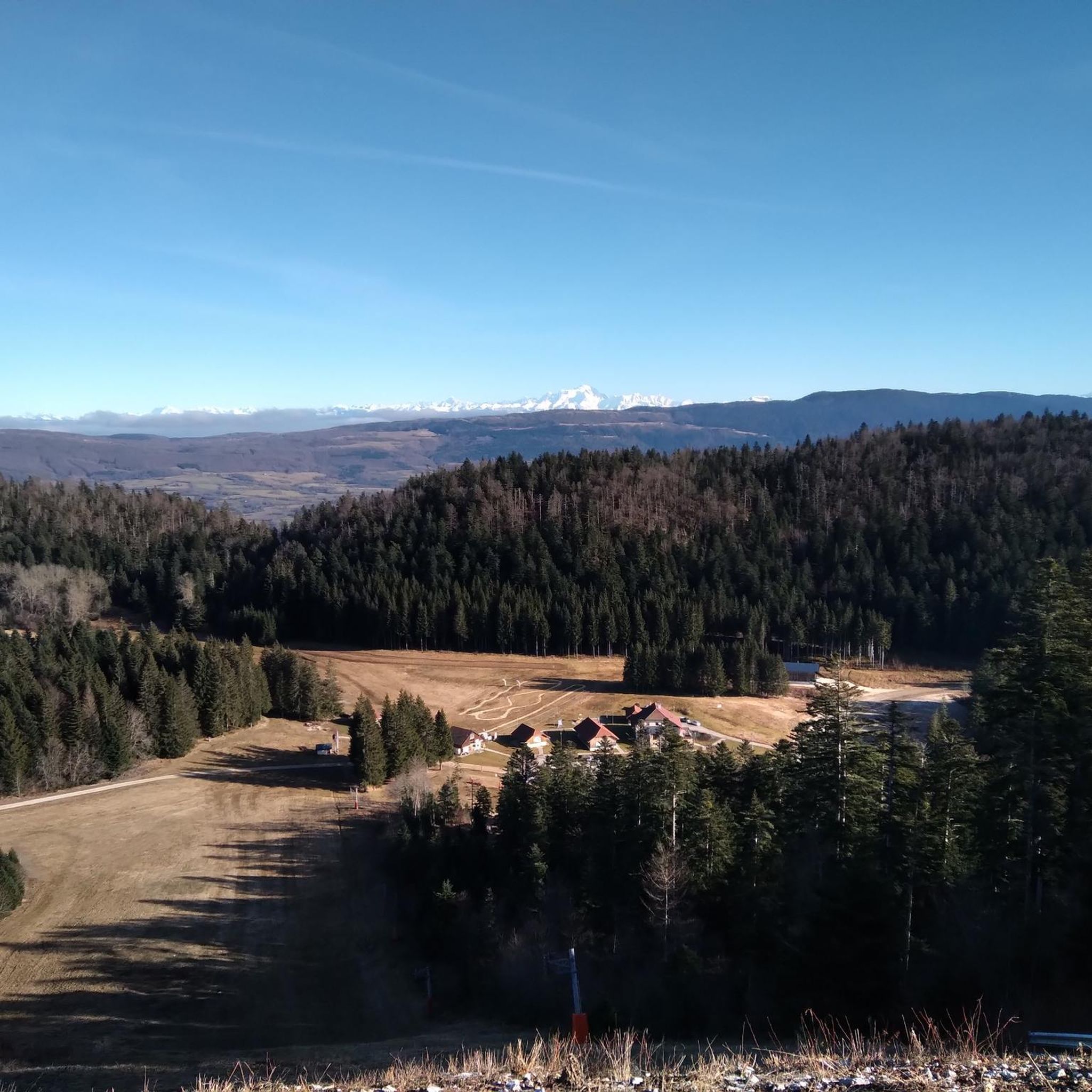
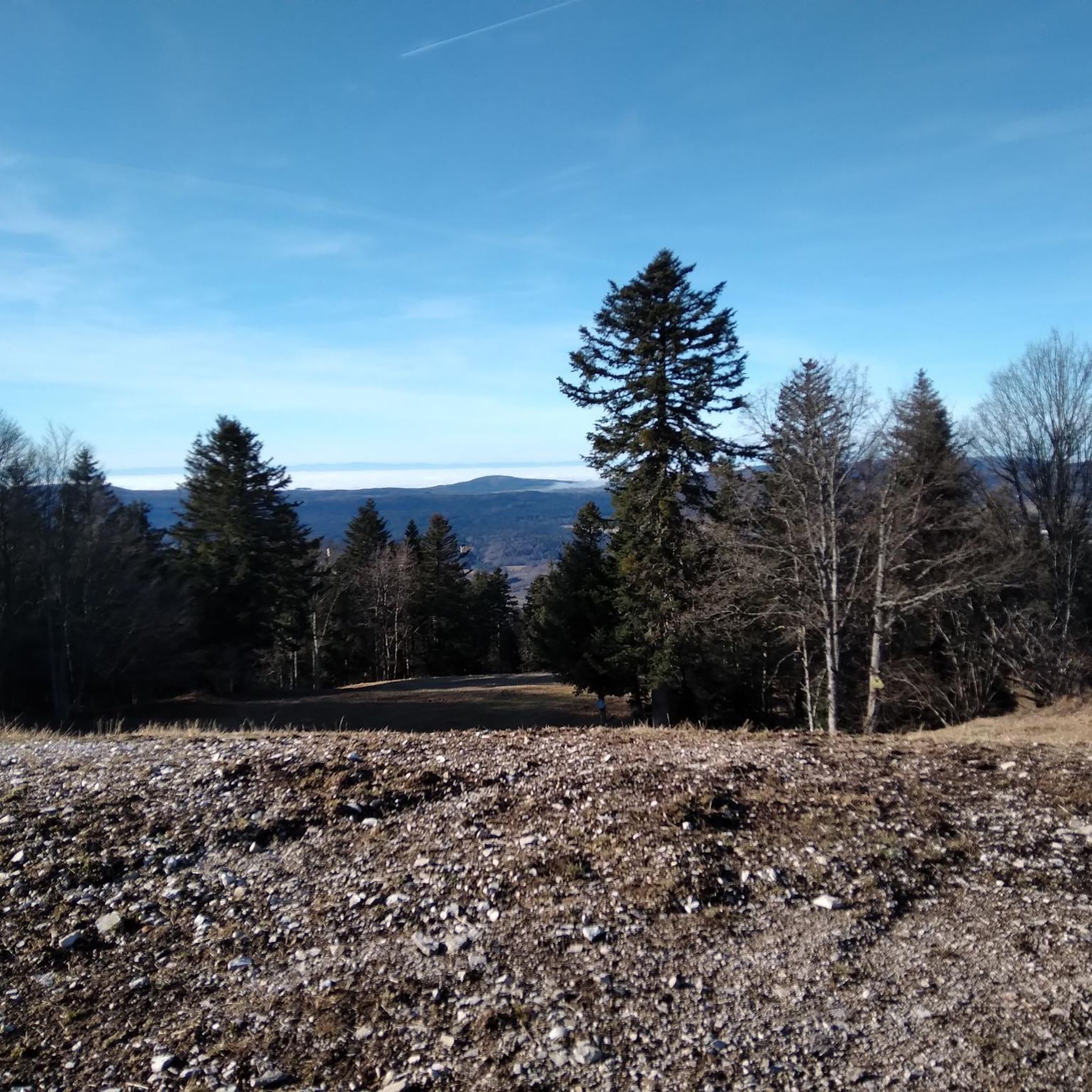
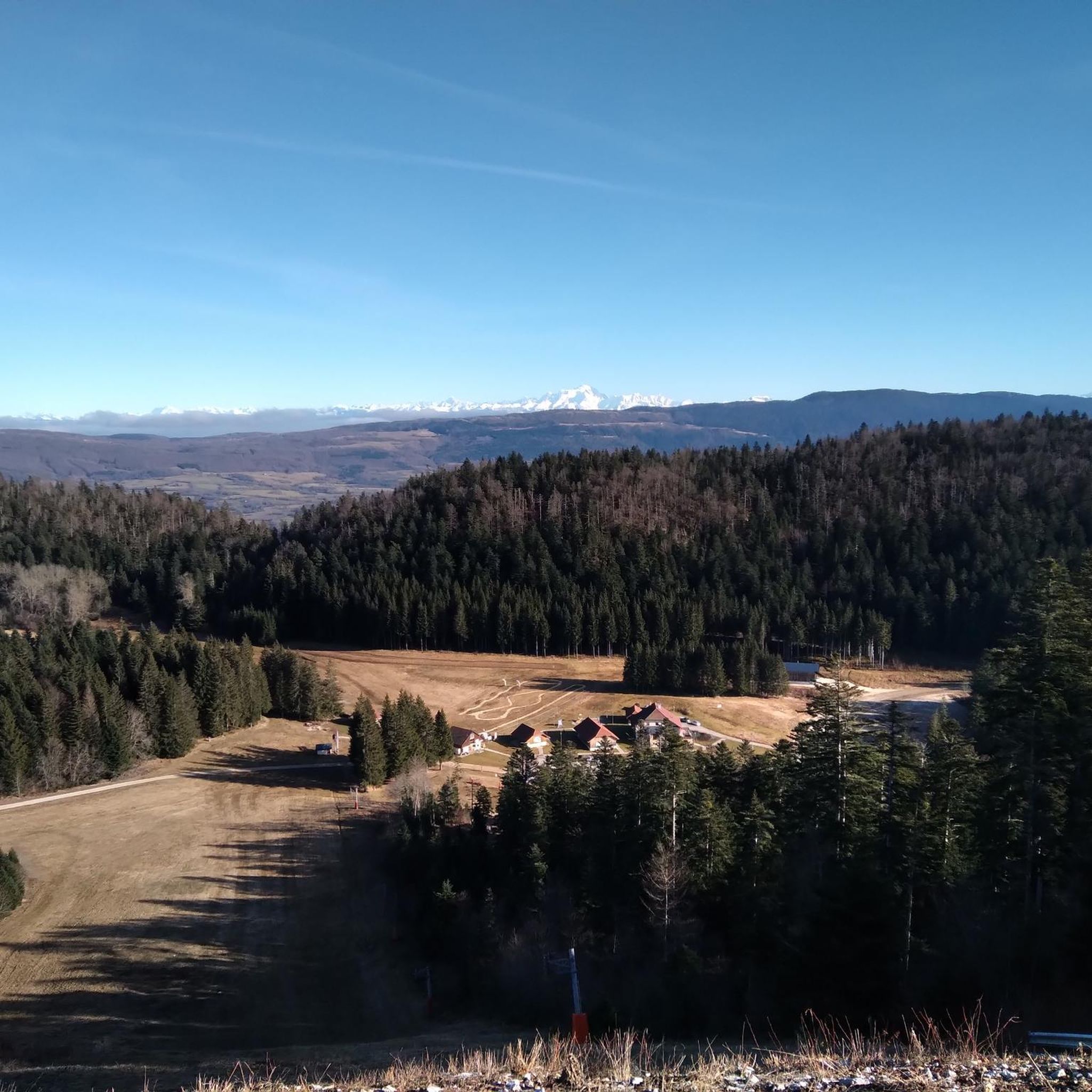
Hiking trails around Lompnieu traverse a diverse landscape, situated at approximately 600 meters elevation within a large valley. The terrain features extensive forests on one side and a plain leading to larger mountains on the other. The commune itself ranges from 550 meters up to 1240 meters at the summit of La Rochette mountain, offering varied elevation changes. This area is part of the Auvergne-Rhône-Alpes region, characterized by its mountainous massifs and rolling green hills.
Best hiking trails around Lompnieu
…Last updated: June 27, 2026
5.0
(2)
38
hikers
7.04km
02:20
220m
220m
Moderate hike. Good fitness required. Mostly accessible paths. Sure-footedness required.
5.0
(1)
16
hikers
3.78km
01:00
30m
30m
Easy hike. Great for any fitness level. Easily-accessible paths. Suitable for all skill levels.

Sign up for free
4.5
(4)
19
hikers
6.11km
01:59
190m
190m
Moderate hike. Great for any fitness level. Mostly accessible paths. Sure-footedness required.
2.5
(2)
7
hikers
9.30km
02:59
290m
290m
Moderate hike. Good fitness required. Mostly accessible paths. Sure-footedness required.
5.0
(2)
21
hikers
9.44km
03:00
250m
250m
Moderate hike. Good fitness required. Mostly accessible paths. Sure-footedness required.
Get access to more routes and recommendations from other explorers.
Sign up for free
Already have an account?
Our route recommendations are based on thousands of hikes, rides, and runs completed by other people on komoot.
Start today with a free account
Your next adventure awaits.
Login or Signup


Tips from the Community

In addition to being the starting point for several walking and cycling routes, the La Praille estate offers everything you need to regain your strength after an outing. Besides accommodation and catering at the inn, there is a wellness area (spa and Nordic bath) to recharge your batteries in a magnificent mountain setting.
0
0

Little-known pass but very beautiful little road!
0
0

Nice climb, unfortunately the road from Ruffieu has (recently?) been completely covered in gravel that accumulates on the bends. Uphill it's okay, but risky on the descent. It's strange because the road doesn't seem particularly damaged under the gravel...
0
0

Col de la Clye, perched on a discreet road between the Combe du Val and the Retord plateau, unveils a peaceful pastoral setting. Its isolated atmosphere makes it a pretty passage on the Grandes Traversées du Jura route.
1
0

Very quiet, sometimes steep climb. Road could be a lot better. Glad I had 35mm tires.
0
0


Frequently Asked Questions
How many hiking trails are available around Lompnieu?
Lompnieu offers a wide variety of hiking experiences, with over 140 trails to explore. These range from easy strolls to more challenging ascents, catering to different fitness levels.
Are there easy or beginner-friendly hikes in Lompnieu?
Yes, Lompnieu is very welcoming for beginners and those seeking easier walks. There are approximately 30 easy routes available. A great option is the Auberge de la praille loop from La Praille, which is an easy 2.3-mile (3.7 km) path winding through gentle terrain.
Can I find circular hiking routes in the Lompnieu area?
Absolutely. Many of the trails around Lompnieu are designed as loops, allowing you to start and end at the same point. Popular circular routes include the Belvédère du Curnillon loop from Ruffieu and the Planachat Viewpoint – Rochette Pass loop from La Praille.
What are some family-friendly hiking options in Lompnieu?
For families, the easier, shorter loop trails are ideal. The Auberge de la praille loop from La Praille is a gentle 2.3-mile path that is perfect for a leisurely family outing. The region's diverse terrain also means many trails offer manageable sections suitable for children.
What kind of natural attractions can I see while hiking near Lompnieu?
The Lompnieu area is rich in natural beauty. You can discover dramatic features like the Thurignin Gorges and the picturesque Cerveyrieu Waterfall. Many trails also lead to stunning viewpoints, such as the Grand Colombier Cross and orientation table, offering panoramic vistas of the surrounding valleys and, on clear days, the snow-capped Alps.
What is the best time of year to go hiking in Lompnieu?
Lompnieu offers hiking opportunities throughout the year, but the best time largely depends on your preference. Summers are generally warm and ideal for exploring the extensive trail network. In winter, the area experiences significant snowfall, transforming it into a destination for snowshoeing and winter sports, particularly at higher elevations.
Are there opportunities for winter hiking or snowshoeing in Lompnieu?
Yes, when winter brings significant snowfall, the Lompnieu area, particularly at higher elevations and nearby resorts like Station des Plans d'Hotonnes - Plateau de Retord, becomes excellent for snowshoeing. Some trails may also be suitable for winter hiking, but it's always advisable to check local conditions and trail accessibility beforehand.
Where can I find parking for hiking trails in Lompnieu?
Many popular trailheads in the Lompnieu area, especially those starting from villages like Ruffieu or La Praille, typically have designated parking areas. For specific routes, it's best to check the individual tour details on komoot, as they often provide information on starting points and parking availability.
What wildlife might I encounter on the trails in Lompnieu?
The diverse landscapes of Lompnieu, with its extensive forests and varied terrain, provide habitats for a range of wildlife. Hikers might spot various bird species, deer, and smaller mammals. The region's unspoiled natural beauty makes it a great place for nature observation, especially in quieter areas.
What do other hikers say about the trails in Lompnieu?
The hiking trails around Lompnieu are highly regarded by the komoot community, boasting an average rating of 4.5 stars from over 400 reviews. Hikers frequently praise the diverse scenery, from dense forests to open plains and mountain views, as well as the well-maintained paths and the peaceful atmosphere of the region.
Are there any historical or cultural sites to explore near Lompnieu?
Beyond its natural beauty, Lompnieu has a rich heritage. You can visit the 15th-century flamboyant Gothic St. Michel's Church or explore the remains of Château-Rouge. For more details on the village's heritage, you can visit the Bugey Sud Tourisme website.
How long do hikes in Lompnieu typically take?
Hike durations in Lompnieu vary significantly depending on the route's length and difficulty. For example, the Auberge de la praille loop is an easy 2.3-mile path that takes about 1 hour. More moderate trails like the Belvédère du Curnillon loop (4.4 miles) typically take around 2 hours 19 minutes.
Most popular attractions around Lompnieu

Get inspired with the komoot mobile app


Explore more
Browse the best Hikes in other regions.
