The best running trails around Boulieu-Lès-Annonay
4.7
(67)
1,367
runners
21
runs
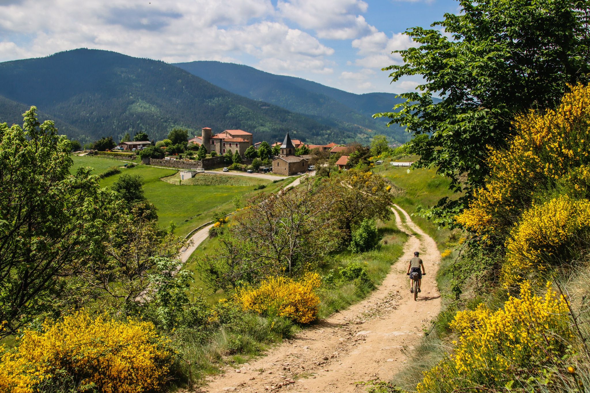
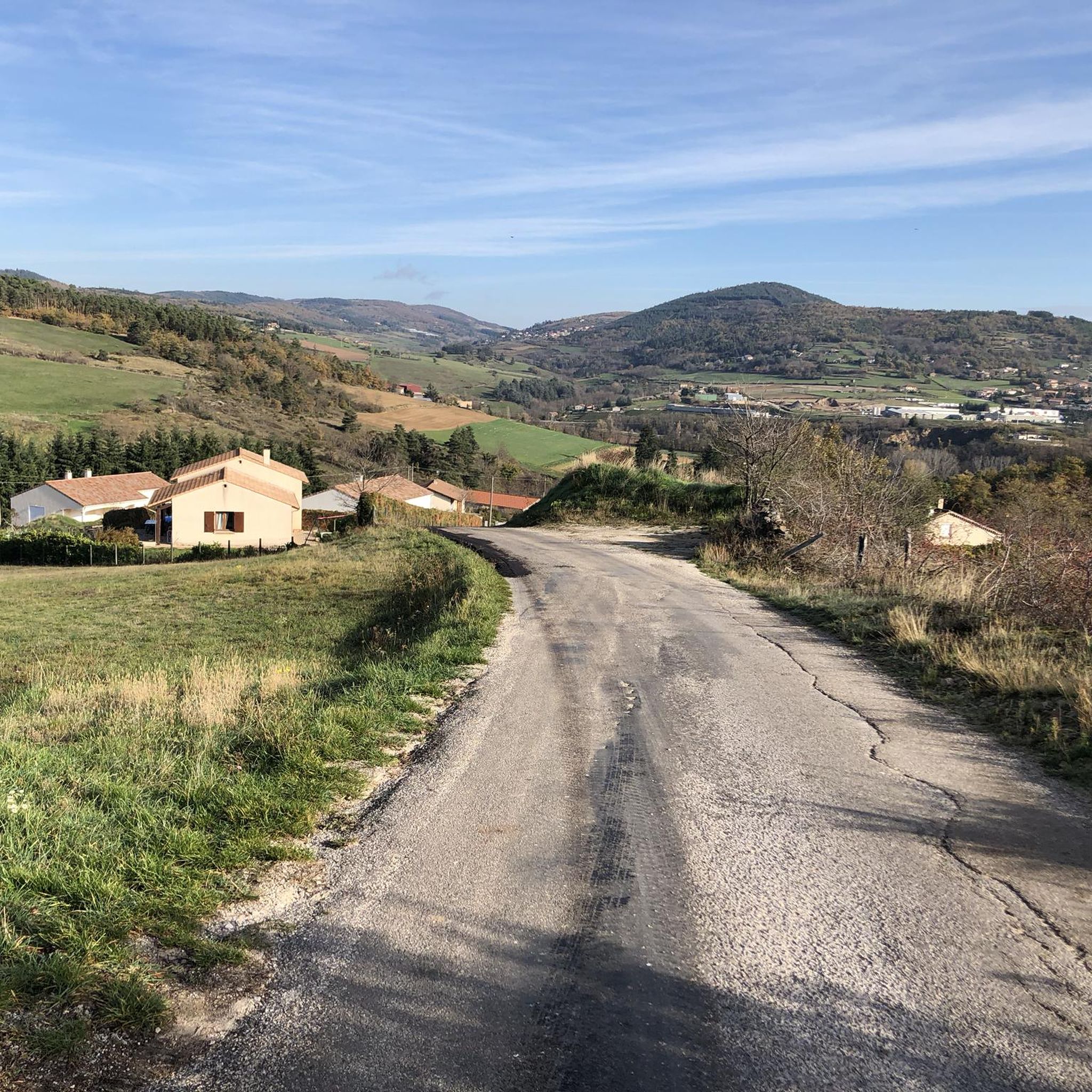
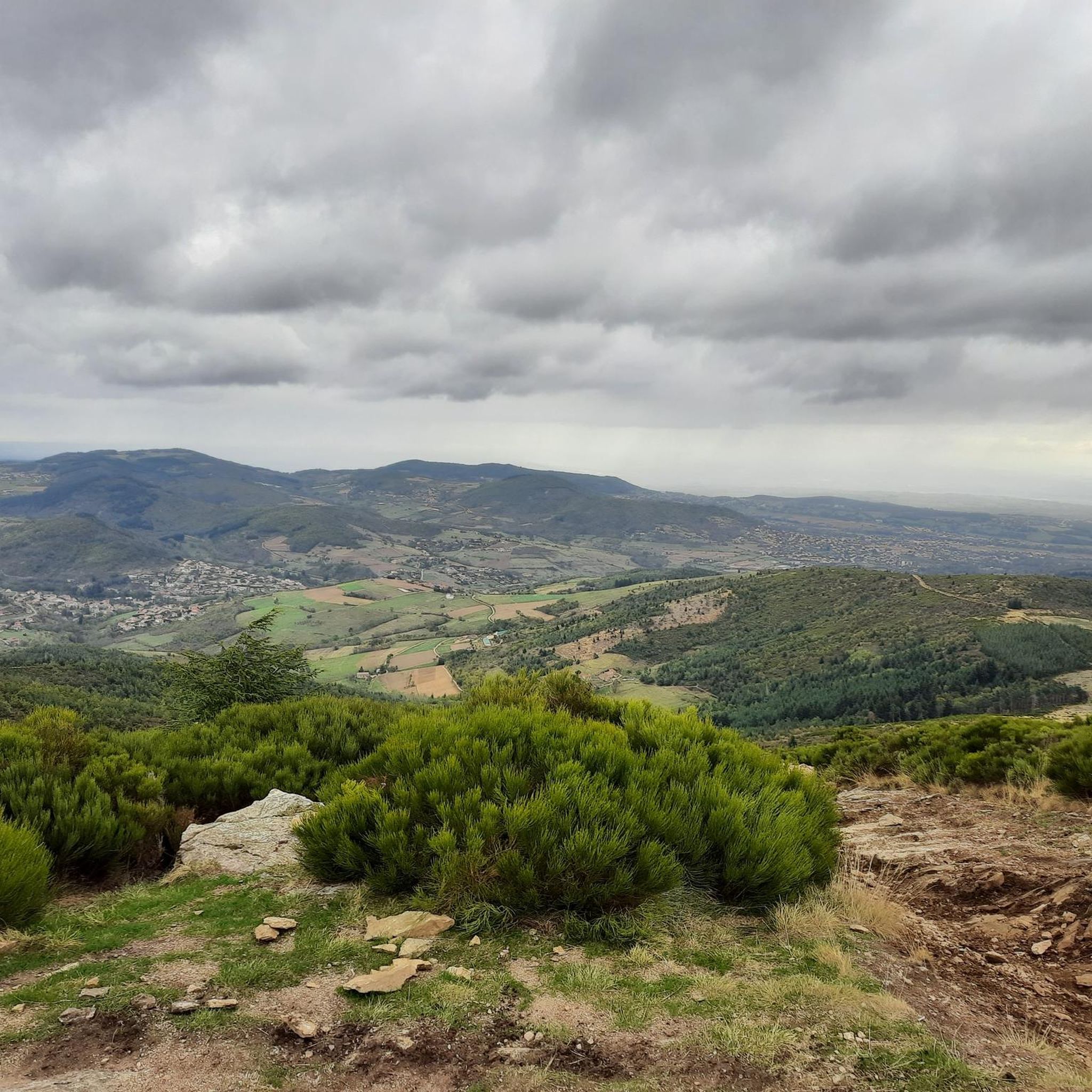
Jogging around Boulieu-lès-Annonay offers diverse terrain, ranging from 358 to 915 meters in altitude, providing routes for various fitness levels. The region is characterized by wooded, more-sloping areas, particularly behind the Madone du Colombier, and a rural valley extending towards the Croix de Chirol. The Deûme river also traverses the commune, offering different running environments along its valley. This varied landscape ensures dynamic running experiences with changes in elevation and scenery.
Best jogging routes around Boulieu-lès-Annonay
- The most popular jogging…
Last updated: July 1, 2026
92
runners
19.4km
02:39
700m
700m
Hard run. Very good fitness required. Mostly paved surfaces. Suitable for all skill levels.
4.5
(4)
48
runners
8.67km
01:07
260m
260m
Moderate run. Good fitness required. Mostly paved surfaces. Suitable for all skill levels.

Sign up for free
23
runners
29.7km
03:56
1,080m
1,080m
Hard run. Very good fitness required. Mostly paved surfaces. Suitable for all skill levels.
11
runners
13.5km
01:42
370m
370m
Hard run. Very good fitness required. Mostly paved surfaces. Suitable for all skill levels.
10
runners
16.7km
01:47
210m
210m
Hard run. Very good fitness required. Mostly paved surfaces. Suitable for all skill levels.
Get access to more routes and recommendations from other explorers.
Sign up for free
Already have an account?
Our route recommendations are based on thousands of hikes, rides, and runs completed by other people on komoot.
Start today with a free account
Your next adventure awaits.
Login or Signup

Other adventures around Boulieu-Lès-Annonay

Tips from the Community

A massive, stone-built base supports the "Croix de Chirole," a symbol commemorating the crucifixion and resurrection of Jesus Christ, crowning the summit plateau. The two wooden beams of this small sacred monument clearly show the effects of wind and weather. The large body of the crucified Christ, however, whose light color clearly stands out against the background of the dark beams, appears to have been relatively recently restored or perhaps even renewed.
0
0

Superb view of Annonay and beyond!
0
0

This former shelter, located along the Via Fluvia, is enjoying a new lease of life thanks to the determination of the local heritage conservation association. It makes a lovely rest area; there's even a beautiful waterfall right across the street, and easy access to the river.
0
0

A pleasant path of about 4 kilometers, called the "Chemin de Ronde", lined with Cedars of Lebanon and a few sequoias, goes around this 30-hectare lake.
0
0
Built in 1858 to supply Annonay with drinking water, the Ternay dam now offers a pleasant shaded place where walkers and runners meet.
0
0

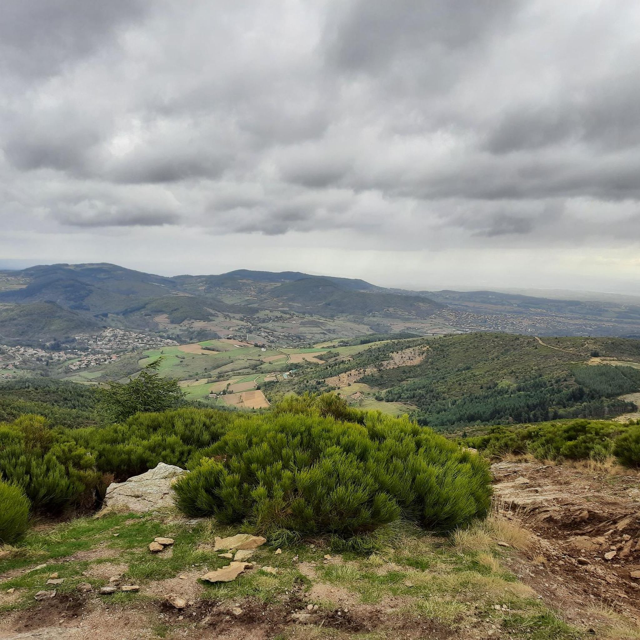
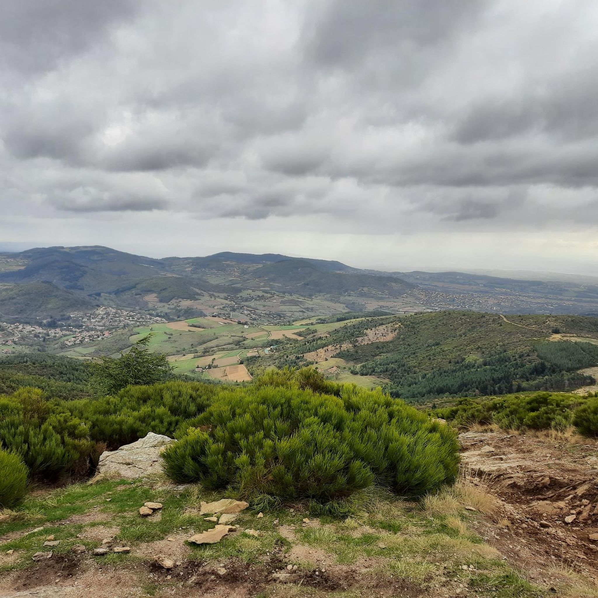
From its 915 meters, you can see through three valleys, the central massif and the Alps. Stunning panoramas.
3
0

Drinking water and public toilets at the dam. The tour of the dam is one-way and a little dented by the roots of hundred-year-old cedars. But it's so nice.
0
0

Built in 1858 to supply Annonay with drinking water, the Ternay dam now offers a pleasant shaded place where walkers and runners meet. A pleasant path of about 4 kilometers, called the "Chemin de Ronde", lined with Cedars of Lebanon and a few sequoias goes around this 30-hectare lake.
1
0
Frequently Asked Questions
What kind of terrain can I expect on the running trails around Boulieu-lès-Annonay?
The region offers a diverse landscape for runners, with altitudes ranging from 358 to 915 meters. You'll find a mix of wooded, sloping areas, particularly behind the Madone du Colombier, and a rural valley extending towards the Croix de Chirol. The Deûme river also traverses the commune, providing different running environments along its valley, including some flatter sections.
Are there running routes suitable for beginners or those looking for an easier jog?
While many routes offer significant elevation, there are options for various fitness levels. The area's diverse terrain means you can find paths with gentler slopes, especially in the valley sections. For a moderate experience, consider La Madone de Boulieu loop from Boulieu-lès-Annonay, which is 8.7 km long and takes about 1 hour 7 minutes.
What are some challenging running routes for experienced runners in the area?
For experienced runners seeking a challenge, Boulieu-lès-Annonay offers several difficult routes with substantial elevation gain. The Chirole Cross – Railway Workers' Shelter loop from Boulieu-lès-Annonay is a demanding 34.1 km path with over 1350 meters of ascent. Another challenging option is the Chirole Cross loop from Boulieu-lès-Annonay, a 22.6 km trail leading to the high point of Croix de Chirol.
Are there any circular running routes available?
Yes, many of the running routes around Boulieu-lès-Annonay are circular. For example, the La Madone de Boulieu loop from Boulieu-lès-Annonay is a popular circular option. Another is the Railway Workers' Shelter loop from Boulieu-lès-Annonay, which covers 13.5 km.
What kind of scenic views can I expect while running in Boulieu-lès-Annonay?
Joggers can enjoy breathtaking panoramic views of the Rhône Valley and the majestic Alps on clear days, as well as the Pilat mountains. The natural beauty is particularly striking in late spring when the gorse (genêts) is in bloom, adding vibrant colors to the landscape. Routes around the Madone area and towards the Croix de Chirol are known for their vistas.
Are there any notable landmarks or attractions along the running trails?
Yes, several points of interest can be incorporated into your runs. The Chirole Cross is a significant viewpoint offering expansive views. While not directly on a trail, the medieval village of Boulieu-lès-Annonay itself, with its fortified towers, can be explored on foot. You might also encounter the Town of Andance or the Gorges and the Cance Valley if you venture further.
What do other runners say about the trails in Boulieu-lès-Annonay?
The running routes in Boulieu-lès-Annonay are highly rated by the komoot community, with an average score of 4.7 stars from over 50 reviews. More than 1200 runners have used komoot to explore the varied terrain, often praising the dynamic experiences and scenic beauty.
Is there a dedicated fitness course or 'Parcours Sportif Santé' in Boulieu-lès-Annonay?
Yes, Boulieu-lès-Annonay features a 'Parcours Sportif Santé' (Sports and Health Course). This indicates dedicated facilities for fitness and health activities, including running and walking, highlighting the commune's commitment to promoting physical activity.
How many running routes are available in the Boulieu-lès-Annonay area?
There are over 20 running routes available around Boulieu-lès-Annonay, catering to a wide range of abilities and preferences, from moderate loops to very challenging ascents.
Are there any routes that follow a river or offer a tranquil environment?
Yes, the Deûme river traverses the commune, and running along its valley offers picturesque views and a different kind of natural environment. There's also a described route, easily adaptable for jogging, that follows a stream, offering shaded passages, trees, birdlife, and a tranquil, traffic-free ambiance, often referred to as a 'petit paradis'.
What is the best time of year to go running in Boulieu-lès-Annonay?
The region is beautiful year-round, but late spring is particularly recommended when the gorse (genêts) is in bloom, adding vibrant colors to the landscape. The varied terrain means you can find suitable conditions across seasons, though checking local weather and trail conditions is always advisable.
Are there any routes that include a lake or dam?
Yes, you can explore routes that feature water bodies. For instance, the Ternay Dam Loop – Ternay Dam and Lake loop from Boulieu-lès-Annonay is a 16.7 km route that includes these features, offering a different kind of scenery during your run.
Most popular routes around Boulieu-Lès-Annonay
Most popular attractions around Boulieu-Lès-Annonay

Get inspired with the komoot mobile app


Explore more
Browse the best Running Trails & Routes in other regions.
