The best walks and hikes around Boulieu-Lès-Annonay
4.5
(225)
1,321
hikers
16
hikes
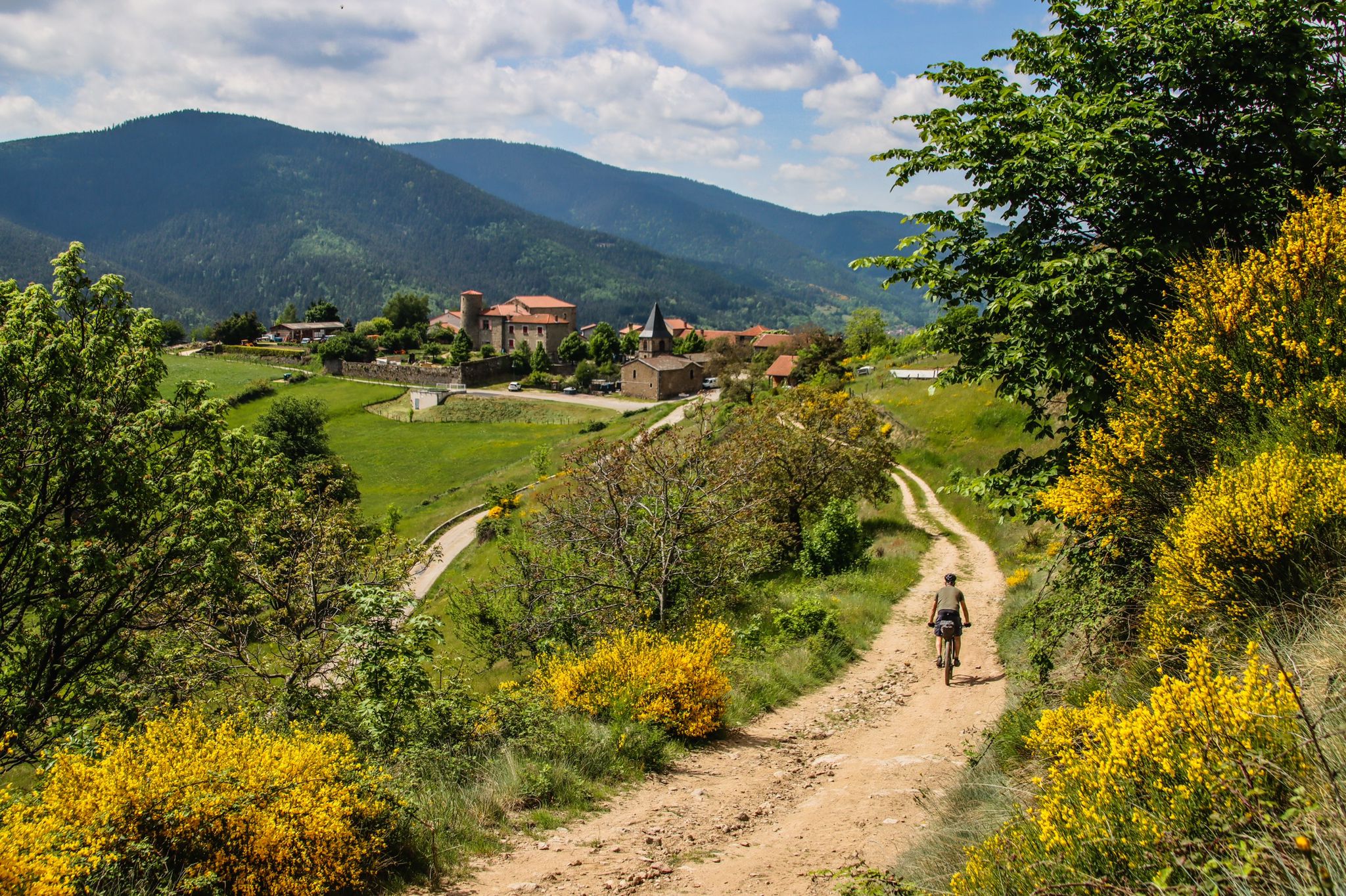
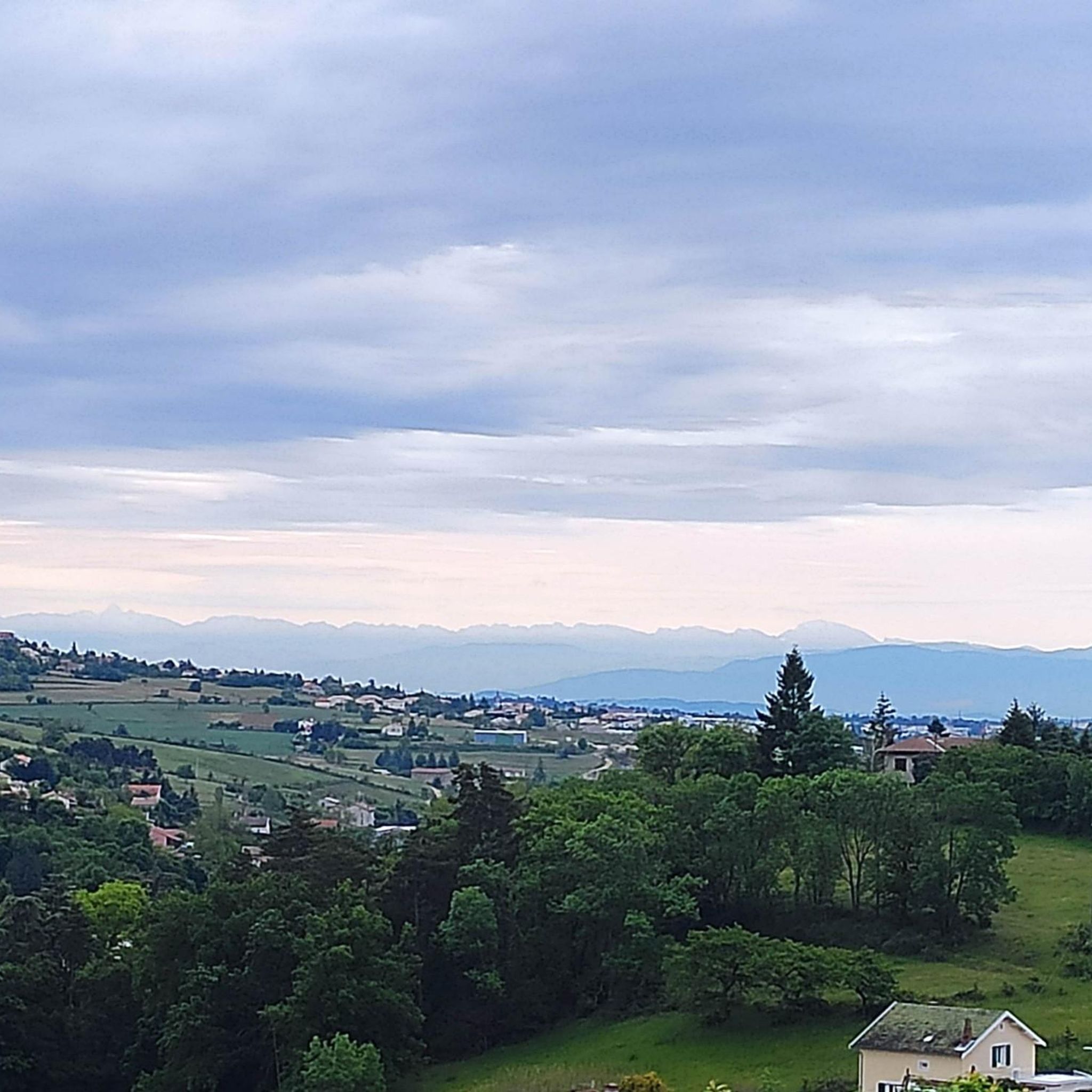
Hiking around Boulieu-Lès-Annonay offers diverse landscapes and varied terrain, characterized by its proximity to the Monts d'Ardèche Regional Natural Park. The region features the Cance River valley, which carves out gorges, alongside areas of orchards and meadows. Hikers can find routes leading to panoramic viewpoints that extend across the Rhône Valley, the Monts du Pilat, and sometimes the Alps. The topography includes both gentle paths and more challenging ascents.
Best hiking trails around Boulieu-Lès-Annonay
- The most popular hiking route is…
Last updated: July 1, 2026
5.0
(2)
12
hikers
11.8km
03:21
260m
250m
Moderate hike. Good fitness required. Easily-accessible paths. Suitable for all skill levels.
5.0
(1)
7
hikers
8.10km
02:21
220m
220m
Moderate hike. Good fitness required. Easily-accessible paths. Suitable for all skill levels.

Sign up for free
6
hikers
Easy hike. Great for any fitness level. Easily-accessible paths. Suitable for all skill levels.
4
hikers
9.80km
02:48
230m
230m
Moderate hike. Good fitness required. Easily-accessible paths. Suitable for all skill levels.
5
hikers
13.3km
03:48
310m
310m
Moderate hike. Good fitness required. Easily-accessible paths. Suitable for all skill levels.
Get access to more routes and recommendations from other explorers.
Sign up for free
Already have an account?
Our route recommendations are based on thousands of hikes, rides, and runs completed by other people on komoot.
Start today with a free account
Your next adventure awaits.
Login or Signup

Other adventures around Boulieu-Lès-Annonay

Tips from the Community

Built between 1879 and 1881, this viaduct once carried the railway. It is located right next to a former paper mill.
0
0

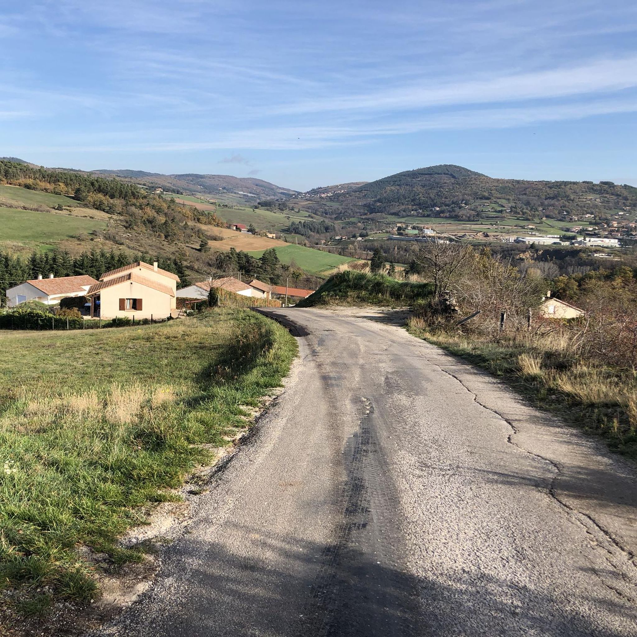
Climbed from Serrières, passing through the vineyards to avoid the main road. A real pleasure to climb, the road is not very busy.
0
0

The Col du Fayet is 9.68m long with a total drop of 470m. The average gradient is 4.86% with maximum gradients of 7.1%.
1
0

Frequently Asked Questions
How many hiking trails are available around Boulieu-lès-Annonay?
There are over 15 documented hiking routes around Boulieu-lès-Annonay, offering a variety of experiences for different skill levels. These trails are highly rated by the komoot community, with an average score of 4.5 stars.
Are there easy hiking trails suitable for beginners in Boulieu-lès-Annonay?
Yes, Boulieu-lès-Annonay offers several easy hiking trails perfect for beginners or those seeking a relaxed stroll. For example, the Viaduc de Pupil – Boulieu-lès-Annonay loop from Boulieu-lès-Annonay is an easy 3.2-mile (5.1 km) trail that takes about 1 hour 23 minutes to complete, leading through charming countryside.
Can I find circular hiking routes around Boulieu-lès-Annonay?
Many of the hiking routes in the area are circular, allowing you to start and end in the same location. A popular option is the Boulieu-lès-Annonay – Boulieu loop from Boulieu-lès-Annonay, a moderate 7.4-mile (11.8 km) trail offering varied ambiances and viewpoints.
What kind of panoramic views or landmarks can I expect on hikes in this region?
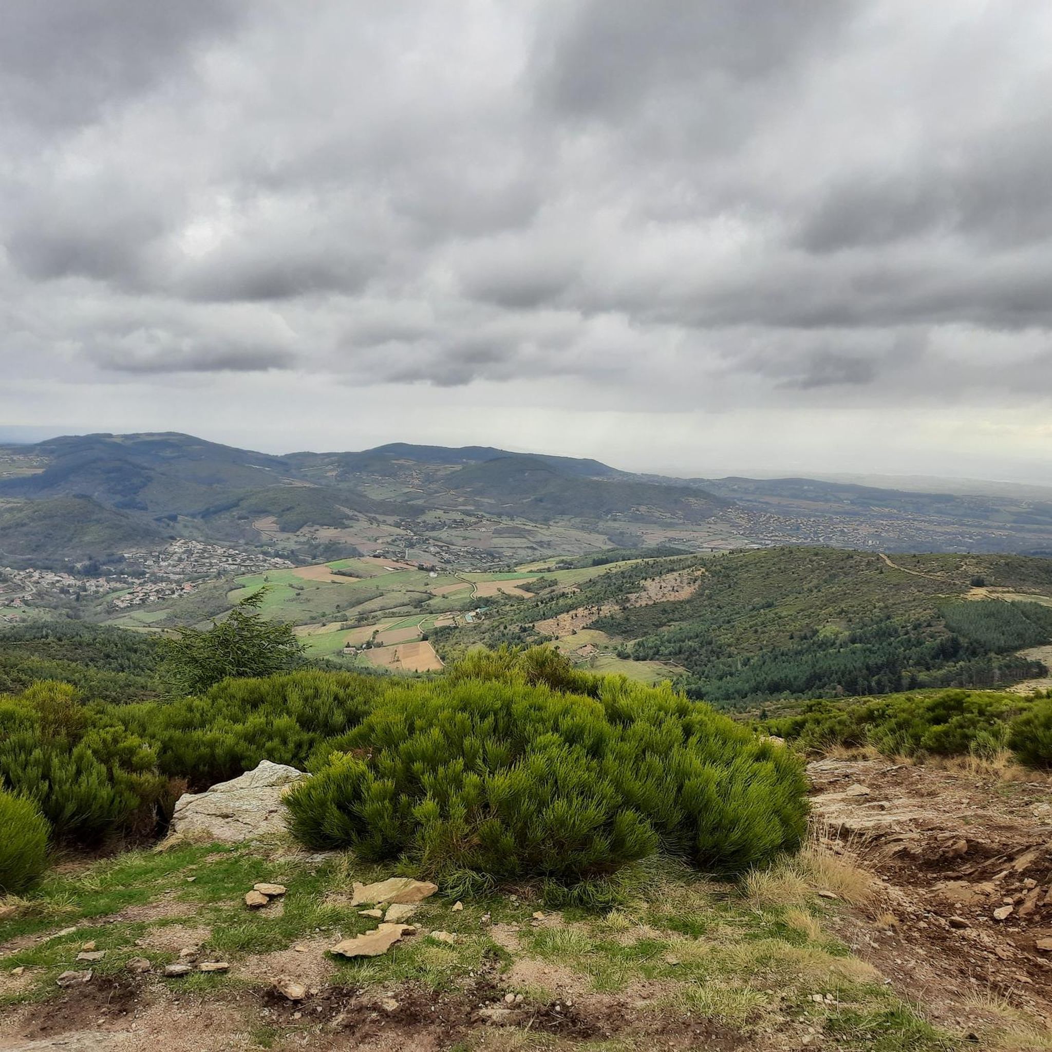
The region is renowned for its stunning panoramic views. Hikes often lead to vistas over the Rhône Valley, the Monts du Pilat, and on clear days, even the Alps and Mont Blanc. The Chirole Cross is a notable viewpoint. You can also explore the picturesque Gorges and the Cance Valley.
Are there family-friendly hiking options in Boulieu-lès-Annonay?
Yes, several trails are suitable for families, especially the easier routes with less elevation gain. These paths often traverse charming countryside, orchards, and meadows, providing a pleasant experience for all ages. Look for trails marked as 'easy' for the most family-friendly options.
Are hiking trails around Boulieu-lès-Annonay suitable for dogs?
Most hiking trails in the Boulieu-lès-Annonay area are generally dog-friendly. However, it's always recommended to keep your dog on a leash, especially in agricultural areas, near livestock, or in protected natural spaces. Always carry water for your pet and clean up after them.
What is the best time of year to go hiking in Boulieu-lès-Annonay?
Spring and autumn are generally the best times for hiking in Boulieu-lès-Annonay. In spring, you'll enjoy gorse in bloom and pleasant temperatures. Autumn offers beautiful foliage and comfortable conditions. Summer can be warm, so early morning or late afternoon hikes are advisable, while winter can offer crisp, clear views, though some paths might be muddy or icy.
What are some notable natural features or parks near Boulieu-lès-Annonay?
Boulieu-lès-Annonay is closely associated with the expansive Monts d'Ardèche Regional Natural Park, a UNESCO Global Geopark known for its diverse landscapes, volcanic features, and rivers. The scenic Valley of the Cance, with its wild gorges, is also a prominent natural feature offering beautiful scenery for exploration.
Are there any longer or more challenging hikes for experienced hikers?
Yes, for experienced hikers seeking a challenge, the region offers more difficult routes. The Chirole Cross – Railway Workers' Shelter loop from Boulieu-lès-Annonay is a difficult 11.0-mile (17.6 km) path with significant elevation gain, providing extensive panoramic vistas from locations like the Croix de Chirol.
What do other hikers enjoy most about hiking in Boulieu-lès-Annonay?
The area is highly rated by the komoot community, with an average score of 4.5 stars from over 220 reviews. Reviewers often praise the diverse landscapes, the stunning panoramic viewpoints over the Rhône Valley and beyond, and the well-maintained network of trails that cater to various difficulty levels.
Are there any historical sites or villages to explore near the hiking trails?
Beyond its natural beauty, Boulieu-lès-Annonay itself is a medieval village with historical fortifications, including remaining towers and old walls, adding a cultural dimension to your outdoor excursions. The nearby Town of Andance also offers historical interest.
What is the typical terrain like on hikes around Boulieu-lès-Annonay?
The terrain around Boulieu-lès-Annonay is varied, reflecting its diverse topography. You can expect a mix of gentle paths through orchards and meadows, alongside more challenging ascents and descents in areas like the Cance River valley. Some trails may feature rocky sections, forest paths, or open country with gorse.
Most popular routes around Boulieu-Lès-Annonay
Most popular attractions around Boulieu-Lès-Annonay

Get inspired with the komoot mobile app


Explore more
Browse the best Hikes in other regions.
