The best running trails around Peyrieu
4.4
(93)
2,361
runners
182
runs
Jogging routes around Peyrieu traverse a diverse landscape in the Ain department of eastern France, situated within the Auvergne-Rhône-Alpes region. The area is characterized by varied topography, ranging from 210 meters to 683 meters in altitude, offering both relatively flat paths and routes with significant elevation changes. Key features include the Rhône River, providing scenic waterside running options, and the Bugey region with its vineyards and natural waterfalls. Peyrieu's location within the Jura Mountains also contributes to a mix of…
Last updated: May 20, 2026
26
runners
6.75km
00:52
170m
170m
This moderate 4.2-mile (6.7 km) jogging loop in Mont de Cordon offers panoramic views of Mont Blanc and diverse terrain.
4.0
(2)
26
runners
Moderate run. Good fitness required. Mostly paved surfaces. Suitable for all skill levels.

Sign up for free
5.0
(2)
26
runners
12.1km
01:15
20m
20m
Moderate run. Good fitness required. Mostly paved surfaces. Suitable for all skill levels.
13
runners
4.79km
00:30
40m
40m
Easy run. Great for any fitness level. Mostly paved surfaces. Suitable for all skill levels.
15
runners
8.33km
00:52
30m
30m
Moderate run. Good fitness required. Mostly paved surfaces. Suitable for all skill levels.
Get access to more routes and recommendations from other explorers.
Sign up for free
Already have an account?
Our route recommendations are based on thousands of hikes, rides, and runs completed by other people on komoot.
Start today with a free account
Your next adventure awaits.
Login or Signup
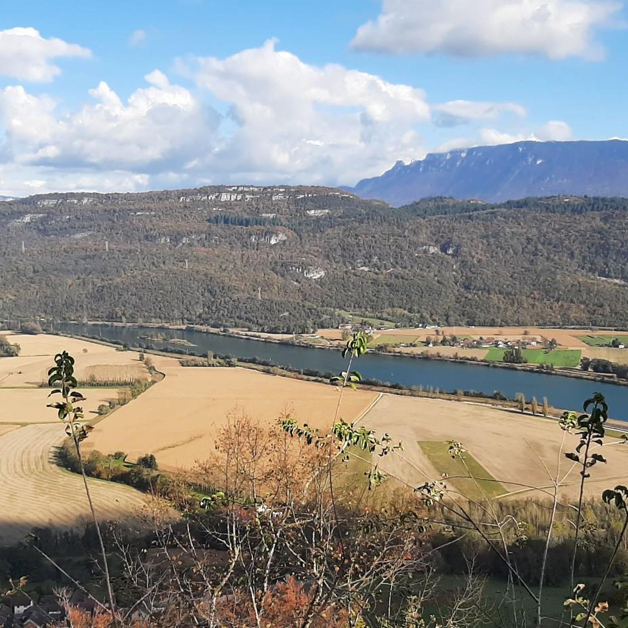
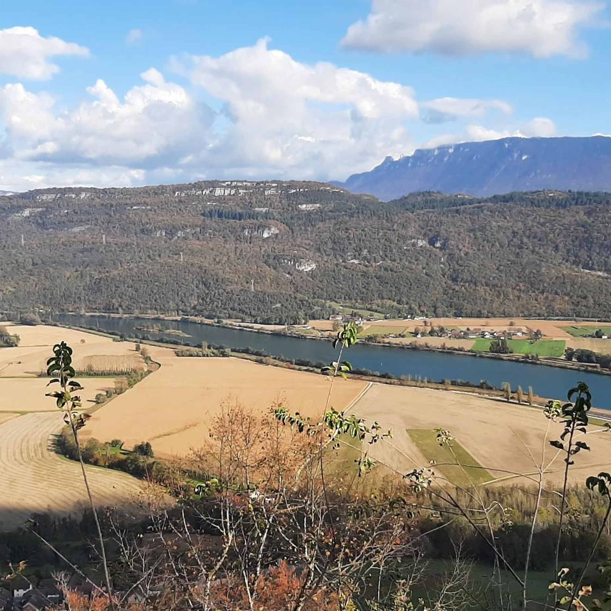
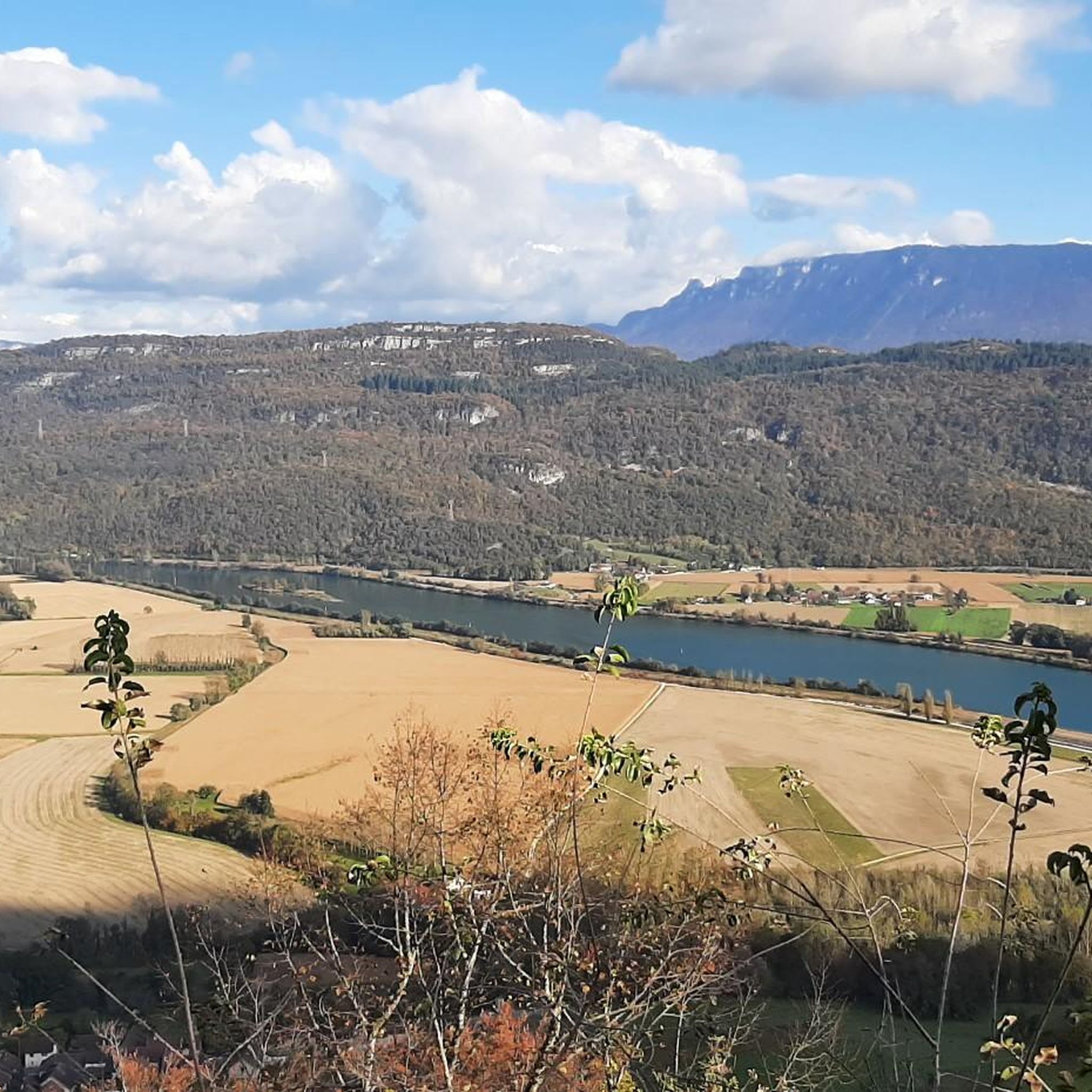
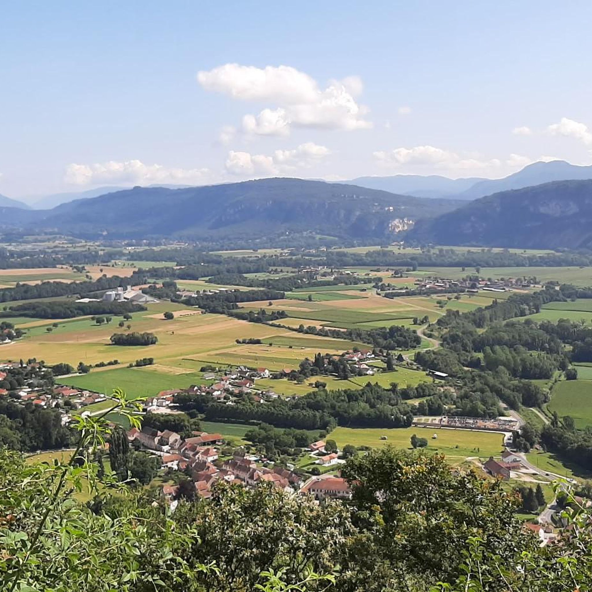

Tips from the Community

Very beautiful view of the Rhône.
0
0

Very nice cyclist bridge over the Rhône. It could become slippery in icy and wet conditions.
0
0
If camping were possible, it would be a great idea on the bike path.
0
0

Public toilets are located behind the lodges in the parking lot for cars and campers. We find far fewer public toilets on the Via Rhona than on the Atlantic coast (Normandy, Brittany, Velodyssee).
0
0


you can start well from here
1
1

A pleasant place to stop and have a picnic on the ViaRhôna cycle path.
1
0

Mont de Cordon is a 401m high mountain. It houses the Château de la Barre which dominates the Rhône and would have once controlled its passage. For only 401m in height, it offers spectacular views.
2
0
Frequently Asked Questions
How many running routes are available in Peyrieu?
Peyrieu offers a wide selection of running routes, with over 160 trails available for you to explore. These routes traverse diverse landscapes, from riverside paths to more challenging ascents in the Jura Mountains.
What are the difficulty levels of running trails around Peyrieu?
Peyrieu provides a variety of running routes suitable for different fitness levels. You'll find 12 easy trails, over 110 moderate options, and around 40 difficult routes for those seeking a more challenging run with significant elevation changes.
What do other runners enjoy most about jogging in Peyrieu?
The running routes in Peyrieu are highly rated by the komoot community, with an average score of 4.5 stars from over 80 reviews. Runners frequently praise the diverse topography, scenic views including vistas of Mont Blanc, and the tranquil paths along the Rhône River.
Are there any circular running routes in Peyrieu?
Yes, many of the running routes in Peyrieu are circular, allowing you to start and finish at the same point. For example, the Forêt de Rothonne loop from Brens offers a moderate 14.4 km circular path through varied forest terrain.
Can I find family-friendly jogging routes in Peyrieu?
Yes, Peyrieu offers several routes suitable for families, particularly those along the Rhône River or on the car-free 'Voies Vertes' (greenways) in the nearby Lagnieu region. These paths often feature gentler gradients and scenic views, perfect for a relaxed family run.
Are dogs allowed on the running trails in Peyrieu?
Most natural trails and paths in the Peyrieu region are dog-friendly, especially if your dog is well-behaved and kept on a leash. It's always a good idea to check local signage for any specific restrictions, particularly in nature reserves or protected areas.
What kind of natural landscapes will I see while running in Peyrieu?
Running in Peyrieu offers a diverse natural experience. You'll encounter the scenic Rhône River, providing waterside routes, and the picturesque vineyards of the Bugey region. The varied topography includes paths with significant elevation changes, leading into the wild yet welcoming landscapes of the Jura Mountains.
Are there any interesting landmarks or viewpoints along the running routes?
Absolutely! Many routes offer stunning views. For instance, the Mont de Cordon Loop provides panoramic vistas, including Mont Blanc. You can also find viewpoints like the Mont de Cordon Viewpoint or the View of Belley from Montagne de Tentanet, accessible from various trails.
Are there any running routes that pass by waterfalls in the Peyrieu area?
While specific routes directly to waterfalls are not detailed in the guide, the Bugey region, where Peyrieu is located, is known for its natural waterfalls. Exploring trails within the Bugey area may lead you to these beautiful natural features, offering a refreshing sight during your run.
What is the best time of year for running in Peyrieu?
The spring and autumn months generally offer the most pleasant conditions for running in Peyrieu, with milder temperatures and beautiful scenery. Summer can be warm, especially at lower altitudes, so early morning or late evening runs are recommended. Winter running is possible, but some higher elevation trails might be affected by snow or ice.
Are there any running routes accessible by public transport in Peyrieu?
While specific public transport links to trailheads are not detailed, many routes start from or pass through villages like Virignin, which may have local bus services. For routes like the Virignin la Balme footbridge loop from Virignin, checking local transport schedules to Virignin would be advisable.
Where can I find parking for the running trails in Peyrieu?
Parking is generally available in or near the starting points of many routes, especially in the villages and hamlets surrounding Peyrieu. For popular trails like those near Brens or Cordon, you can often find designated parking areas, though it's always good to check maps or local information for specific spots.
Are there any running routes with cafes or refreshments nearby?
Many running routes in Peyrieu pass through or near small towns and villages where you can find local cafes, bakeries, or restaurants. For example, routes starting from Brens or Virignin are likely to have options for refreshments before or after your run, allowing you to enjoy local specialties.
Most popular attractions around Peyrieu

Get inspired with the komoot mobile app


Explore more
Browse the best Running Trails & Routes in other regions.
