The best road cycling routes around Peyrieu
4.2
(227)
5,148
riders
14
rides
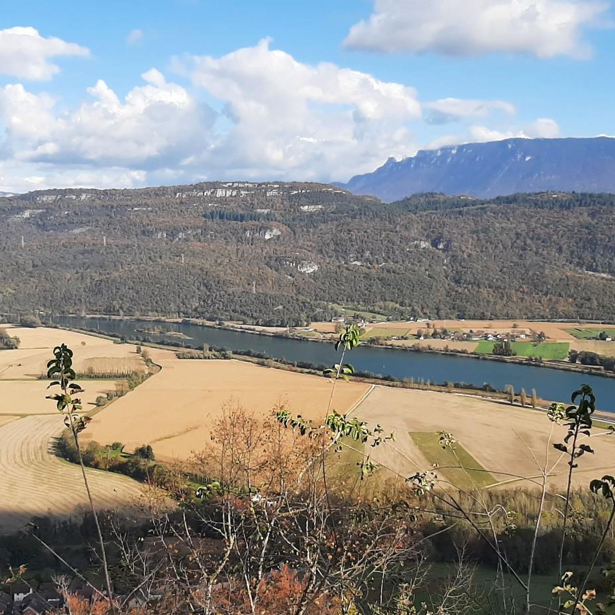
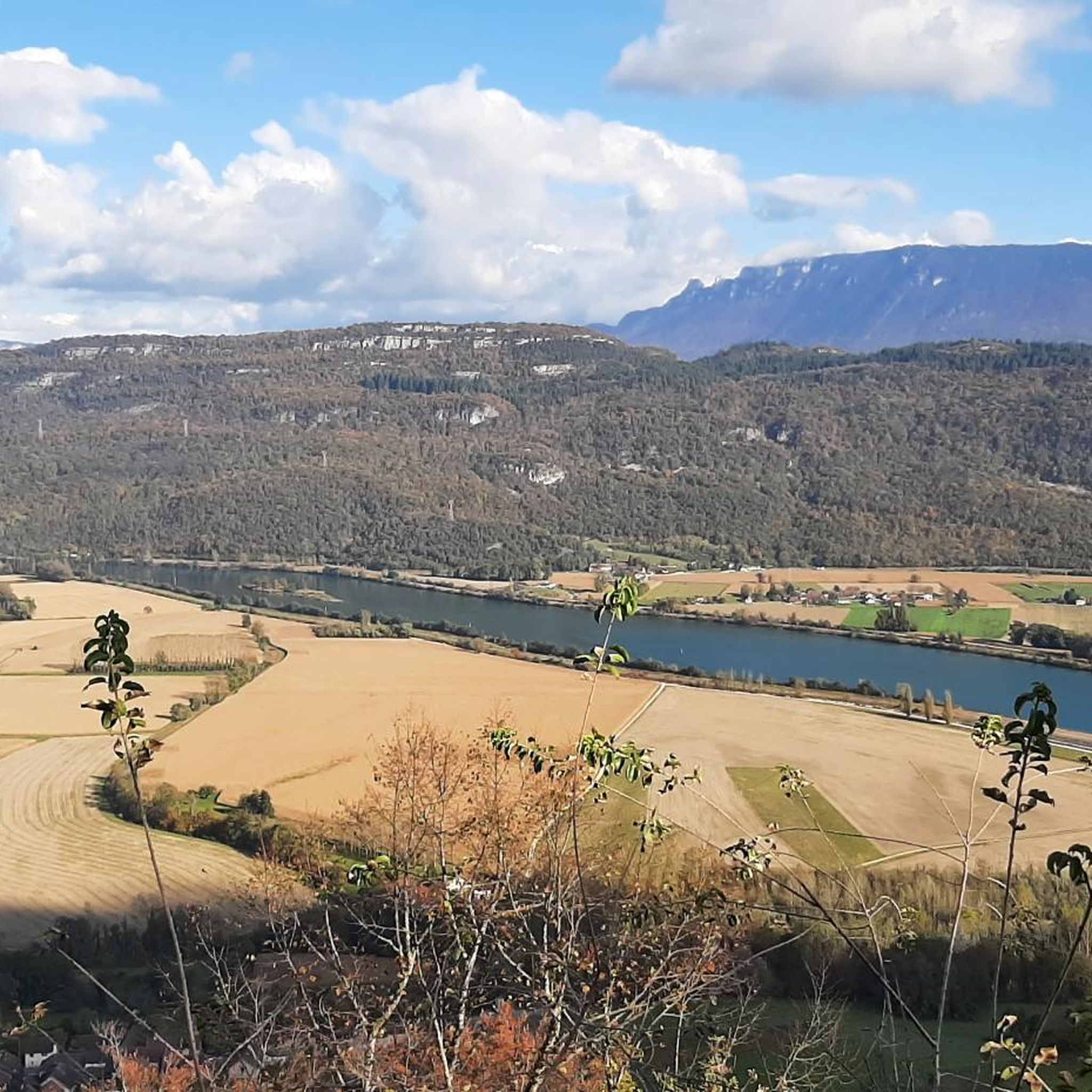
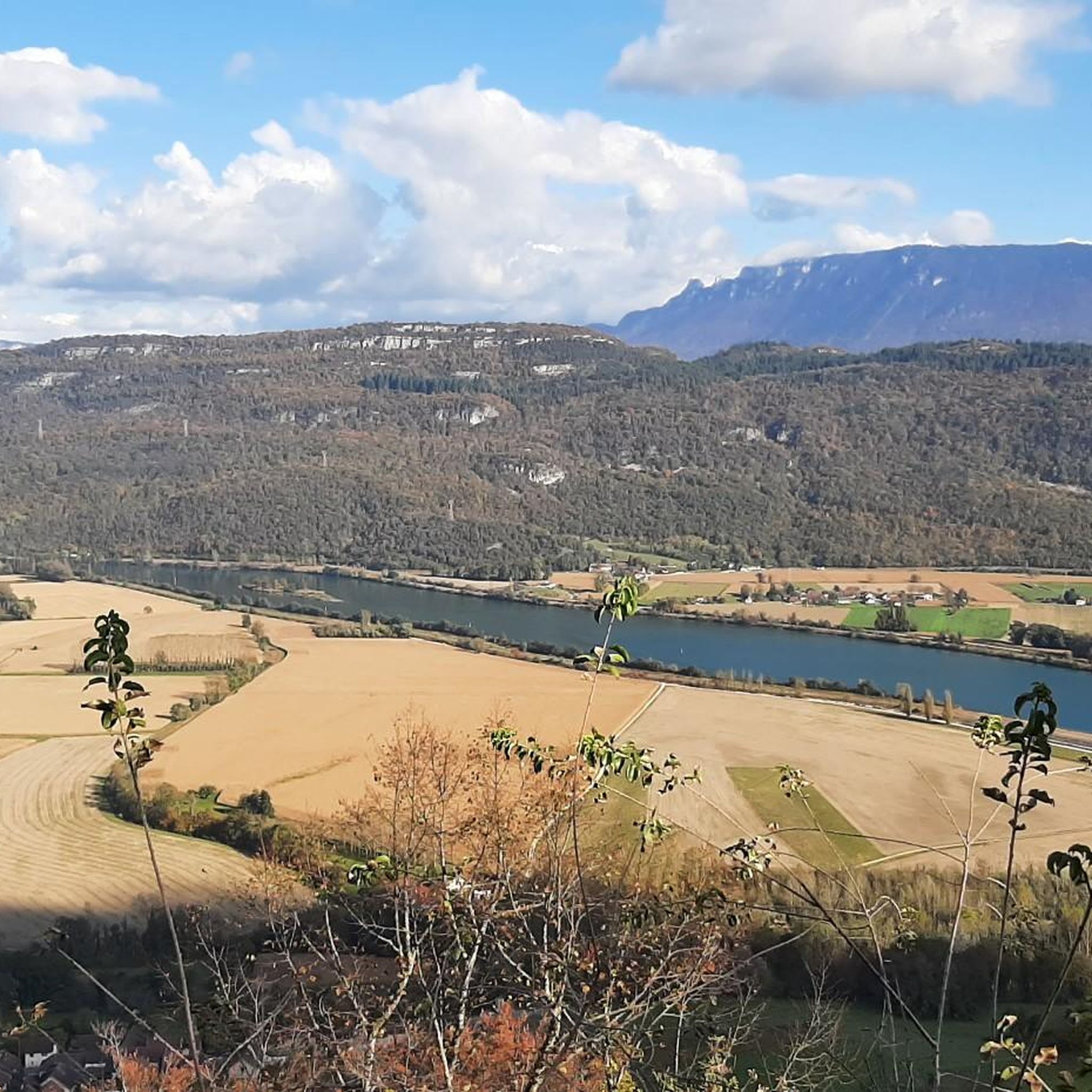
Road cycling around Peyrieu, situated in the diverse Bugey region of Ain, France, offers varied landscapes for cyclists. The area features a blend of flat, scenic paths along the Rhône River and more challenging, hilly terrain within the green valleys and rolling hills of Bugey. Cyclists can navigate the Ain River plain or ascend mountain passes, providing diverse experiences.
Best road cycling routes around Peyrieu
- The most popular road cycling route is Crusille Pass (573 m) – Virignin footbridge loop from Peyrieu, a 31.7 miles (51.0 km) trail that takes 2 hours 24 minutes to complete. This moderate route features the Crusille Pass and views near the Virignin footbridge.
- Another top favourite among local road cyclists is Col du Chat (638 m) – Virignin footbridge loop from Peyrieu, a difficult 43.4 miles (69.8 km) path. This route includes the challenging ascent to Col du Chat, offering significant elevation gain.
- Local road cyclists also love the Col de Fay – Lac d'Ambléon loop from Peyrieu, a 61.9 miles (99.5 km) trail leading through the Bugey massif and past Lac d'Ambléon, often completed in about 4 hours 56 minutes.
- Road cycling around Peyrieu is defined by Rhône River plains, rolling hills, and challenging mountain passes. The network offers options for both leisurely rides and more rigorous ascents, catering to different ability levels.
- The routes in Peyrieu are highly rated by the komoot community with an average score of 4.3 stars from over 160 reviews. More than 3,900 road cyclists have used komoot to explore Peyrieu's varied terrain.
Last updated: July 7, 2026
4.0
(1)
54
riders
51.1km
02:24
640m
640m
Moderate road ride. Good fitness required. Some segments of this route may be unpaved and difficult to ride.
3.0
(1)
60
riders
69.8km
04:19
1,890m
1,890m
Hard road ride. Very good fitness required. Mostly well-paved surfaces and easy to ride.

Sign up for free
69
riders
99.6km
04:57
1,530m
1,530m
Hard road ride. Very good fitness required. Mostly well-paved surfaces and easy to ride.
22
riders
84.7km
03:33
580m
580m
Moderate road ride. Good fitness required. Mostly well-paved surfaces and easy to ride.
5.0
(1)
23
riders
64.3km
03:05
650m
650m
Moderate road ride. Good fitness required. Mostly well-paved surfaces and easy to ride.
Get access to more routes and recommendations from other explorers.
Sign up for free
Already have an account?
Our route recommendations are based on thousands of hikes, rides, and runs completed by other people on komoot.
Start today with a free account
Your next adventure awaits.
Login or Signup

Tips from the Community

Wow, what a beautiful waterfall! 🤩🤩
1
0

Here is the route for the ascent of the Col de la Crusille starting from Saint-Genix-sur-Guiers
1
0
Here is the route for the ascent of the Col de la Crusille starting from Novalaise
1
0

Beautiful and very wild without cars
0
0

It's a must-see place with a magnificent view of Lake Bourget.
1
0

Magnificent view of Lake Bourget
1
0
Peaceful passage in the countryside.
1
0
A pretty peat bog that you can't miss when going up to Innimond and the Col du Petit Perthuis
1
0
Frequently Asked Questions
What types of road cycling routes can I find around Peyrieu?
Peyrieu, located in the Bugey region, offers a diverse range of road cycling experiences. You'll find both flat, scenic paths along the Rhône River, including sections of the extensive ViaRhôna cycle path, as well as more challenging, hilly terrain within the green valleys and rolling hills of Bugey. This blend caters to various skill levels, from leisurely rides to rigorous ascents.
Are there routes suitable for beginners or those looking for an easier ride?
While many routes in the Bugey region offer significant climbs, the area around Peyrieu provides options for easier rides, particularly along the Rhône River. The ViaRhôna cycle path, which passes near Peyrieu, offers predominantly flat and well-maintained greenways, ideal for leisurely cycling and families. These sections provide picturesque, traffic-free experiences.
What are some challenging road cycling routes near Peyrieu?
For experienced cyclists seeking a challenge, the Bugey region offers several demanding ascents. Routes like the Col du Chat (638 m) – Virignin footbridge loop from Peyrieu feature significant elevation gain. The legendary Grand Colombier climb, known from the Tour de France, is also accessible in the wider Bugey area, boasting gradients up to 22% and panoramic views from its summit.
What natural features and landmarks can I see along the road cycling routes?
Road cycling routes around Peyrieu offer views of several natural and historical landmarks. You can cycle past the beautiful Lac d'Ambléon, a recognized ecological site. The Virignin footbridge and the View of the Balme bridge are also notable points. Further afield, you might encounter the impressive Glandieu Waterfall or the historic 'sleeping city' of Quirieu with its panoramic views over the Rhône.
How many road cycling routes are available around Peyrieu on komoot?
There are over 10 road cycling routes around Peyrieu available on komoot. These routes range in difficulty from moderate to difficult, offering diverse options for exploring the region's varied terrain.
What do other cyclists say about road cycling in Peyrieu?
The road cycling routes in Peyrieu are highly rated by the komoot community, with an average score of 4.3 stars from over 160 reviews. Cyclists often praise the varied terrain, from scenic river plains to challenging mountain passes, and the beautiful natural landscapes of the Bugey region.
Are there any circular road cycling routes starting from Peyrieu?
Yes, many of the road cycling routes around Peyrieu are designed as loops, allowing you to start and finish in the same location. Examples include the Crusille Pass (573 m) – Virignin footbridge loop from Peyrieu and the Col de Fay – Lac d'Ambléon loop from Peyrieu, providing convenient options for exploring the area.
Is the ViaRhôna accessible from Peyrieu for road cyclists?
Yes, Peyrieu is strategically located with access to sections of the ViaRhôna cycle path. This extensive route follows the Rhône River and offers predominantly flat, well-maintained greenways, perfect for road cyclists looking for a less strenuous ride with beautiful riverine scenery. You can find sections along the Rhône Canal near Belley and near Brens.
What is the best time of year for road biking in Peyrieu?
The Bugey region, including Peyrieu, is generally pleasant for road cycling from spring through autumn. Spring offers lush green landscapes, while summer provides warm weather for longer rides. Autumn brings beautiful foliage. Always check local weather forecasts, especially if planning to tackle higher mountain passes, as conditions can change.
Are there any routes that offer panoramic views?
Absolutely. The Bugey region is known for its rewarding vistas. Challenging ascents, such as those leading to the Col du Chat or the Grand Colombier (further afield), offer breathtaking panoramic views of the Alps, Mont Blanc, Lake Bourget, Lake Annecy, and even Lake Geneva from their summits. Even lower elevation routes often provide scenic views over the Rhône River and the surrounding valleys.
Are there family-friendly road cycling options around Peyrieu?
For families or those preferring gentler rides, the sections of the ViaRhôna cycle path near Peyrieu are an excellent choice. These routes are predominantly flat, well-maintained, and often traffic-free, making them ideal for a relaxed family cycling experience along the river.
Most popular attractions around Peyrieu

Get inspired with the komoot mobile app


Explore more
Browse the best Road cycling routes in other regions.
