The best walks and hikes around Berg (Pfalz)
4.4
(938)
4,856
hikers
14
hikes
Hiking around Berg (Pfalz) offers exploration of a diverse landscape, characterized by its location on the French border within the Germersheim district of Rhineland-Palatinate. The region features riverine scenery along the Lauter River, dense forests, and unique geological formations. It is part of the broader Palatinate region, known for the expansive Palatinate Forest, a UNESCO-designated Biosphere Reserve with spectacular rocks and deeply incised valleys.
Best hiking trails around Berg (Pfalz)
- The most popular hiking route is View of the Rhine…
Last updated: September 28, 2026
3.7
(9)
22
hikers
12.0km
03:01
10m
10m
Moderate hike. Good fitness required. Easily-accessible paths. Suitable for all skill levels.
8
hikers
6.60km
01:41
20m
20m
Easy hike. Great for any fitness level. Easily-accessible paths. Suitable for all skill levels.

3.5
(2)
24
hikers
9.07km
02:19
30m
30m
Moderate hike. Good fitness required. Easily-accessible paths. Suitable for all skill levels.
3.0
(1)
5
hikers
11.6km
02:56
20m
20m
Moderate hike. Good fitness required. Easily-accessible paths. Suitable for all skill levels.
8
hikers
3.51km
00:54
20m
20m
Easy hike. Great for any fitness level. Easily-accessible paths. Suitable for all skill levels.
Get access to more routes and recommendations from other explorers.
Already have an account?
Our route recommendations are based on thousands of hikes, rides, and runs completed by other people on komoot.
Start today with a free account
Your next adventure awaits.
Tips from the Community

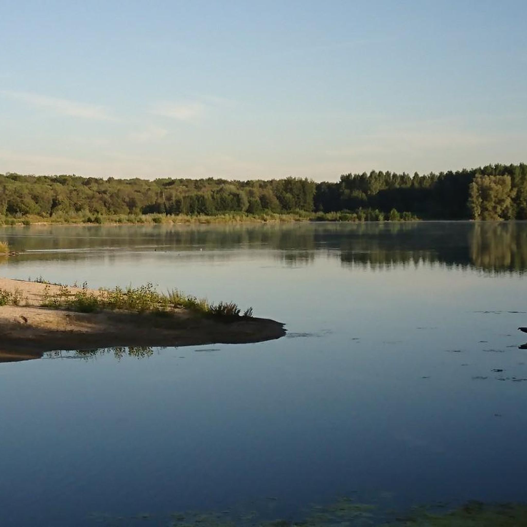
The easternmost resting place in la belle France. Directly on the Bike Route.
4
1

The floating restaurant and museum ship in the Neuburg harbor. In the almost 100-year-old "Lautermuschel"
3
0
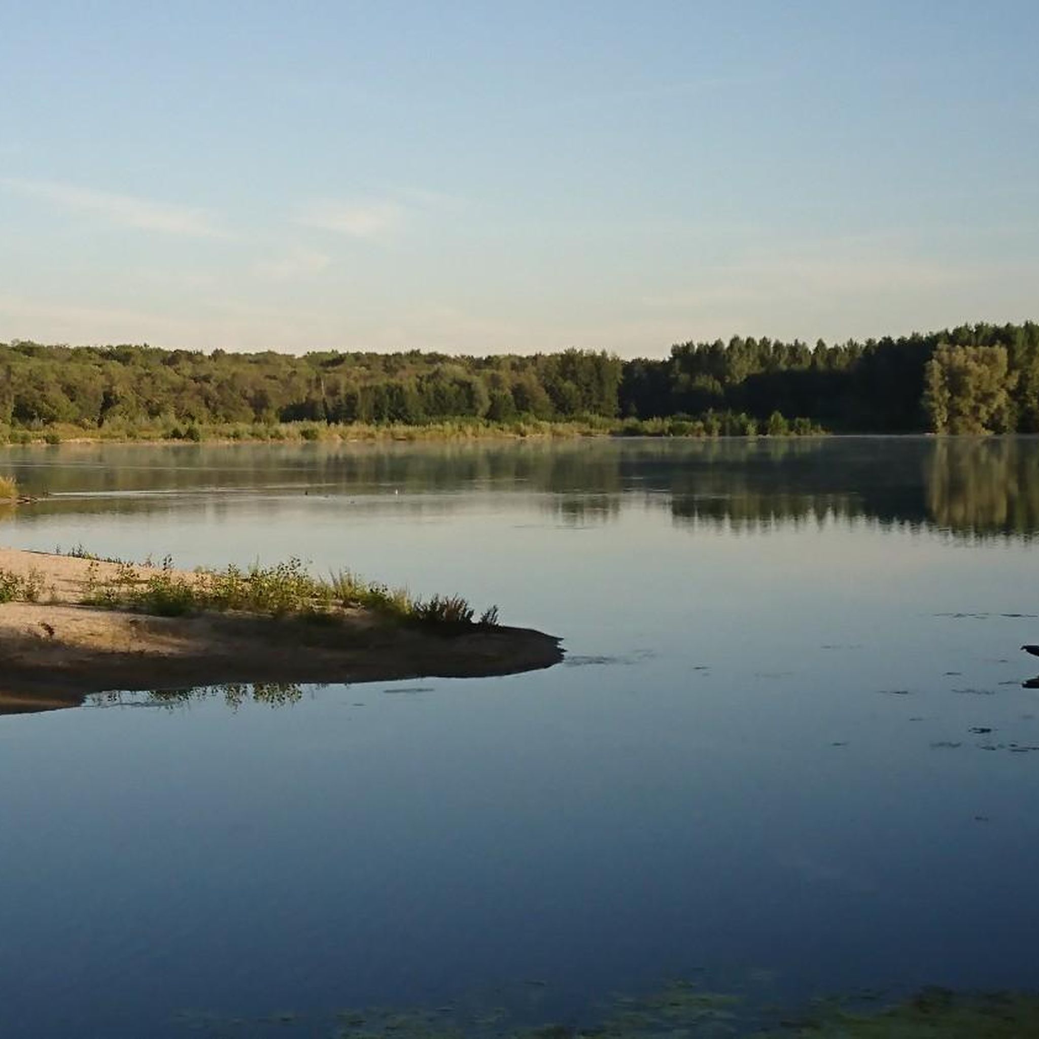
Shortly before Berg, the Lauter is divided into "Alte Lauter" and "Neue Lauter". Originally, the Lauter flowed in the channel of the "Alte Lauter" (Vieille Lauter), which today is the state border with France. It flows into the Rhine at Rhine-km 352. When the mill in Berg was built around the year 1600, the "Neue Lauter" was diverted. This today takes up the entire watercourse. The upper course of the "Alte Lauter" has dried up or is supplied exclusively by pressurized water, as the connection to the Neue Lauter no longer exists.
1
1

Ship restaurant, excursion restaurant, floating inn with beer garden „Lautermuschel“ directly on the Lauter in the yacht harbor of Neuburg am Rhein.
2
0

An anti-tank ditch is an artificially constructed, deep and wide obstacle, often filled with water or with steep walls, which served to stop the advance of enemy tanks in the First and especially the Second World War (e.g. Westwall).
0
0

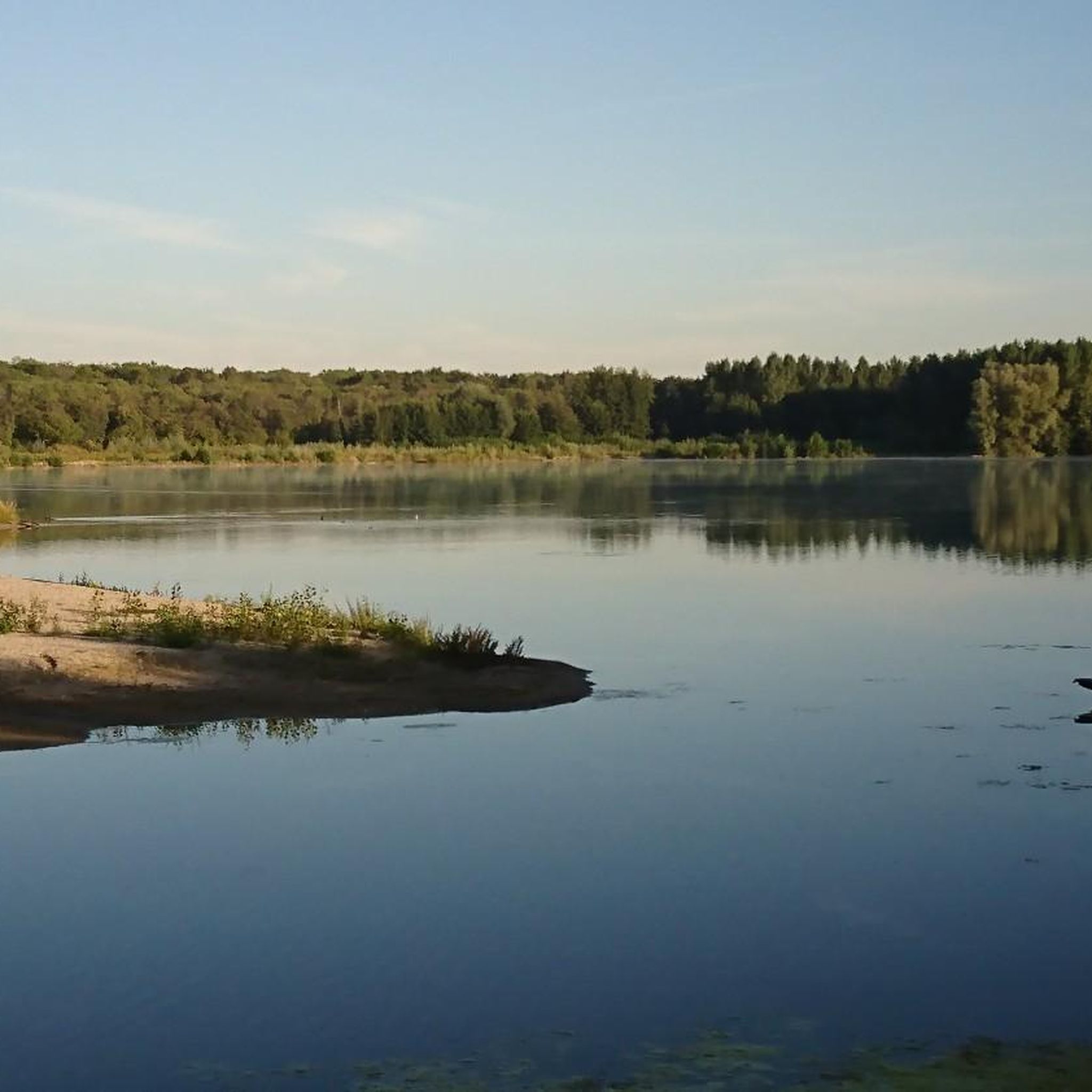
Historically rather so-so - not really interesting as a destination - but it's located on a beautiful stretch of cycle path 👍🏻
1
0
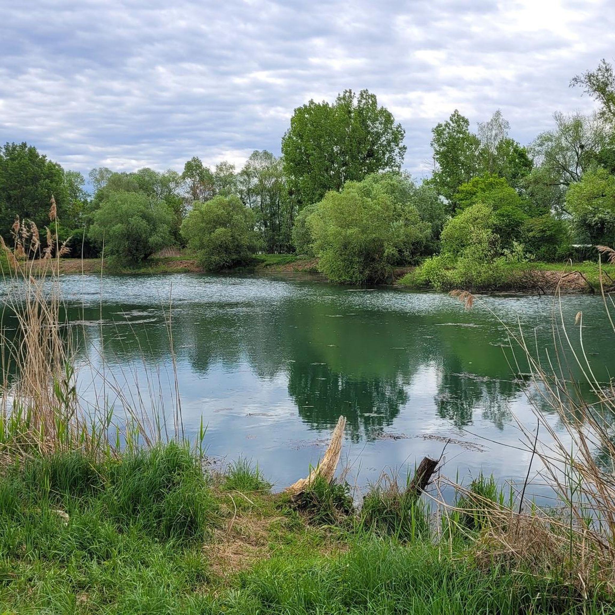
Don't forget mosquito repellent in the summer 😉
2
0
Frequently Asked Questions
What kind of terrain can I expect when hiking in Berg (Pfalz)?
Hiking in Berg (Pfalz) offers a diverse landscape. You'll find serene riverine scenery along the Lauter River, dense forests, and unique geological formations. The broader Palatinate region, including the Palatinate Forest, features spectacular rocks, deeply incised valleys, and expansive woodlands. Trails often lead through varied terrain, from forested areas to open sections.
Are there easy hiking options suitable for beginners or families in Berg (Pfalz)?
Yes, Berg (Pfalz) offers several easy hiking options. For instance, the Berg Water Tower – Old tank trench loop from Berg (Pfalz) is an easy 4.1-mile (6.6 km) path that explores local landmarks and forested sections. Overall, 9 out of the 14 available routes are rated as easy, making the area very accessible for less experienced hikers or families.
Can I find circular hiking routes in Berg (Pfalz)?
Many of the hiking routes in Berg (Pfalz) are designed as loops, allowing you to start and end at the same point. Examples include the popular View of the Rhine loop from Berg (Pfalz) and the Lute mussel – Berg Water Tower loop from Berg (Pfalz), both offering varied scenery.
What natural features or landmarks can I see along the hiking trails?
The trails around Berg (Pfalz) offer views of several interesting natural features and landmarks. You can explore the picturesque riverine scenery along the Lauter River, and some routes provide views of the Rhine. Notable highlights include the German-French Border at the Alte Lauter, the Altrhein Maxau Nature Reserve, and the Sauer Delta Nature Reserve with its meadows and diverse wildlife. You might also encounter the Bismarck Oak (Natural Monument).
Are there any viewpoints or scenic spots on the hikes?
Yes, several trails offer scenic viewpoints. The region features a local mountain that, despite a strenuous climb, rewards hikers with breathtaking panoramic views, potentially extending as far as Lake Constance. You can also find an Observation Deck at Fermasee, providing great vistas over the water.
What is the best time of year to go hiking in Berg (Pfalz)?
The Palatinate region, including Berg (Pfalz), is enjoyable for hiking throughout much of the year. Spring and autumn are particularly pleasant, with mild temperatures and beautiful foliage. The expansive forests and river landscapes offer a refreshing experience in summer, while winter hiking can be serene, especially in the Palatinate Forest, a UNESCO Biosphere Reserve.
What do other hikers enjoy most about hiking in Berg (Pfalz)?
The hiking routes in Berg (Pfalz) are highly rated by the komoot community, with an average score of 4.4 stars from nearly 1,000 reviews. Hikers often praise the diverse terrain, from serene river landscapes to expansive forests, and the unique geological features. The well-maintained paths and variety of options for different ability levels are also frequently highlighted.
Are there options for longer, more challenging hikes in the area?
While Berg (Pfalz) itself has mostly easy to moderate routes, the broader Palatinate region is renowned for its long-distance trails. These include the Pfälzer Waldpfad (Palatinate Forest Path), the Pfälzer Höhenweg (Palatinate Ridge Path), and the Palatinate Wine Trail. These trails offer more extensive and challenging experiences, winding through varied forest passages, vineyards, and past historical sites.
Is Berg (Pfalz) accessible by public transport for hikers?
The region's accessibility by public transport can vary. While specific details for Berg (Pfalz) are not provided, the broader Rhineland-Palatinate area often has public transport connections to popular hiking regions. It's advisable to check local bus or train schedules for routes connecting to Berg (Pfalz) or nearby trailheads before planning your trip.
Are there any specific attractions or points of interest near the hiking trails?
Beyond the natural beauty, you can find several points of interest. The Neuburg-Neuburgweier Rhine Ferry offers a unique experience, and the Thomas Weir on the River Alb is another interesting man-made feature. The area also features parts of the Rhine Cycle Path on the South Bank, which can be explored on foot as well.
How many hiking trails are available in Berg (Pfalz)?
There are 14 hiking routes available in Berg (Pfalz) documented on komoot. These range from easy walks to moderate trails, catering to various fitness levels and preferences.
Most popular routes around Berg (Pfalz)
Most popular attractions around Berg (Pfalz)

Get inspired with the komoot mobile app


Explore more
Browse the best Hikes in other regions.
