The best running trails around Saint-Didier-Sous-Riverie
4.4
(244)
5,306
runners
259
runs
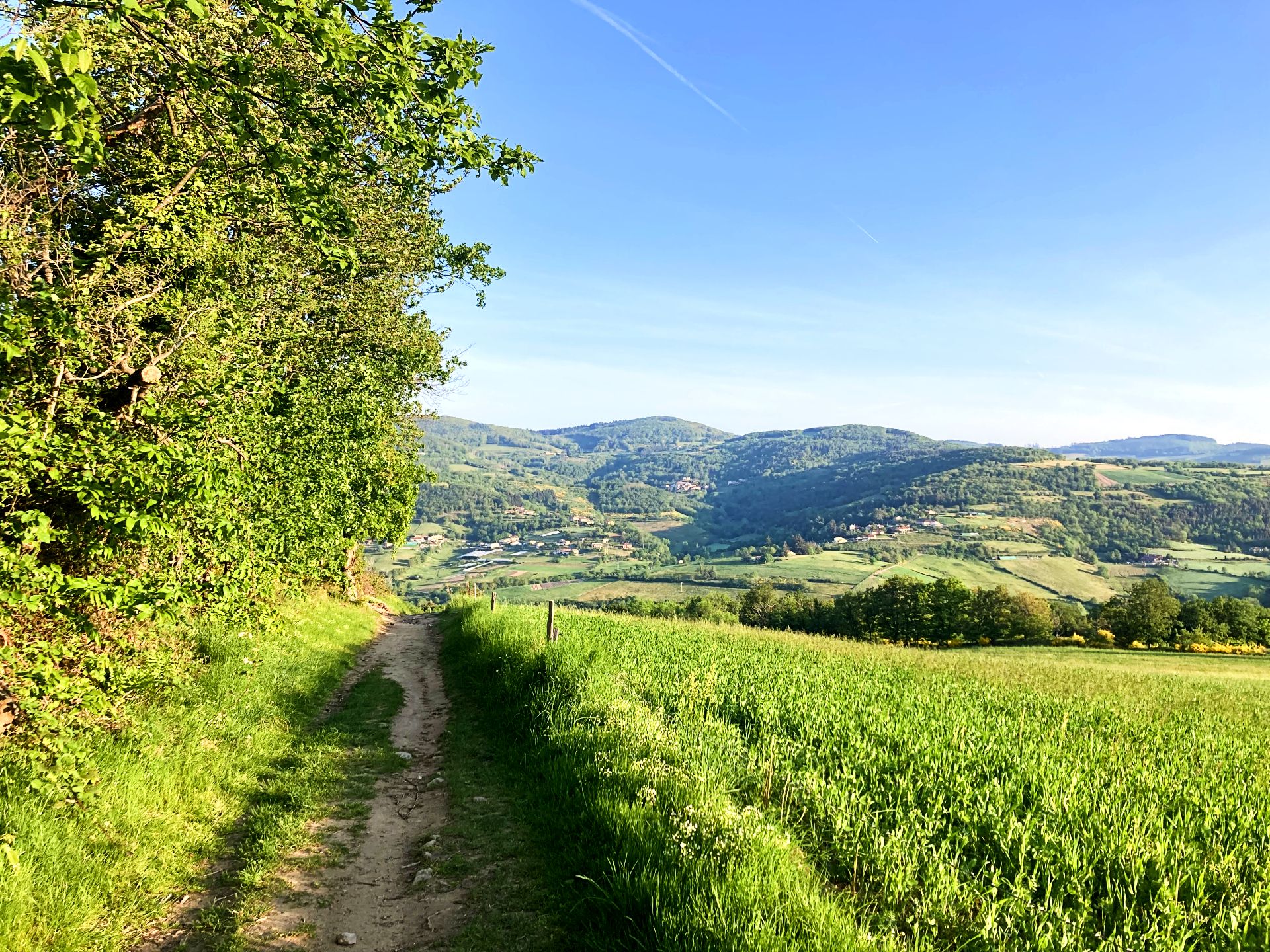
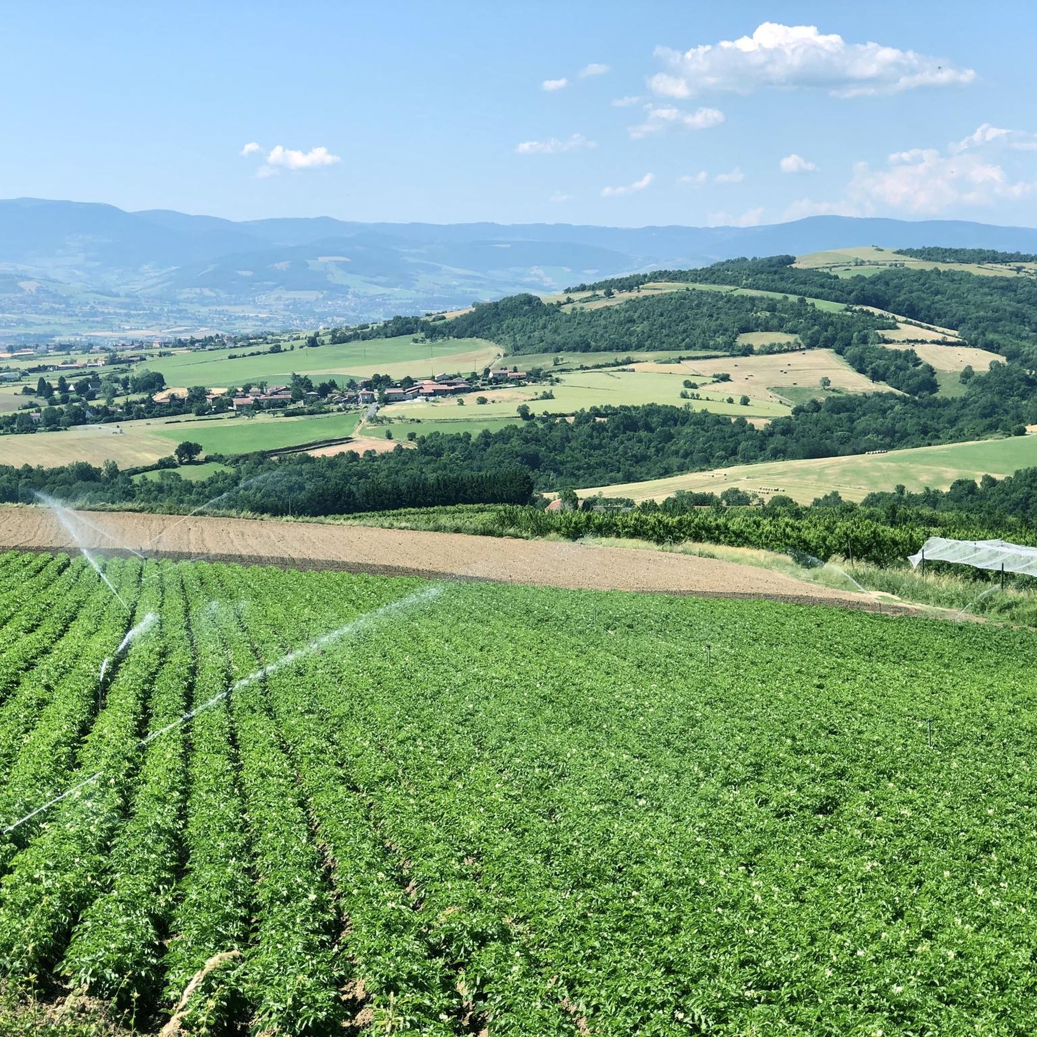
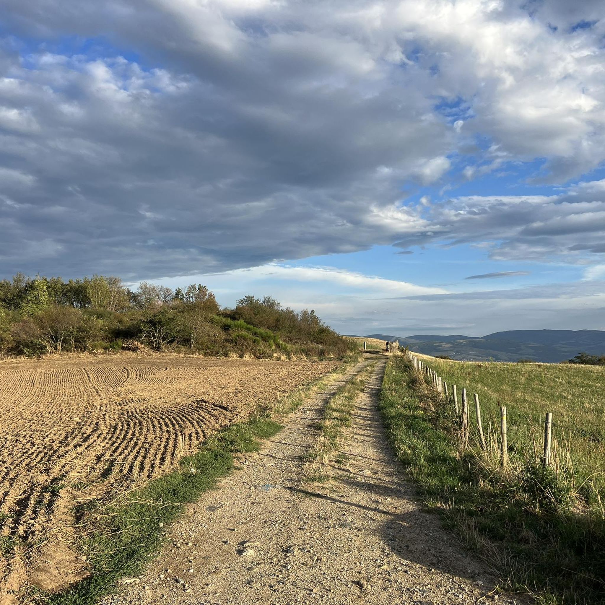
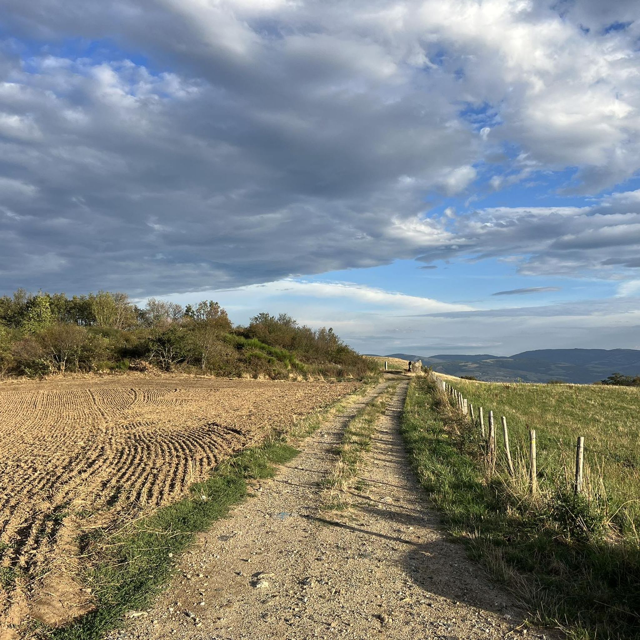
Jogging routes around Saint-Didier-Sous-Riverie offer a diverse natural environment within the "coteaux du Lyonnais" (hills of Lyon). The region features a mix of rolling hills, open countryside, agricultural landscapes, and forests, providing varied terrain for runners. These natural features contribute to engaging routes, ranging from gentle slopes to more challenging ascents, often winding through rural areas and small villages. Panoramic views of the Lyonnaise region, the Alps, and Mont Pilat are accessible from various high points.
Best jogging routes around…
Last updated: May 20, 2026
64
runners
19.7km
02:28
600m
600m
Hard run. Very good fitness required. Mostly paved surfaces. Suitable for all skill levels.
15
runners
14.8km
01:49
480m
480m
Hard run. Very good fitness required. Mostly paved surfaces. Suitable for all skill levels.

Sign up for free
13
runners
8.70km
01:05
230m
230m
Moderate run. Good fitness required. Mostly paved surfaces. Suitable for all skill levels.
9
runners
28.9km
03:50
980m
980m
Hard run. Very good fitness required. Mostly paved surfaces. Suitable for all skill levels.
5
runners
11.8km
01:26
250m
250m
Moderate run. Good fitness required. Mostly paved surfaces. Suitable for all skill levels.
Get access to more routes and recommendations from other explorers.
Sign up for free
Already have an account?
Our route recommendations are based on thousands of hikes, rides, and runs completed by other people on komoot.
Start today with a free account
Your next adventure awaits.
Login or Signup
Popular around Saint-Didier-Sous-Riverie

Other adventures around Saint-Didier-Sous-Riverie

Tips from the Community

The Signal site, an emblematic highest point in the Monts du Lyonnais, located at 934 meters, equipped with a belvedere and an orientation table.
0
0

Interesting is the Cassini terminal, where the first surveys were carried out in 1758 to draw up the map of Lyon, a moment in history.
0
0
The 2 orientation tables at the Signal de St-André (at 934m) offer a panorama of the Rhône valley and the Metropolis of Lyon, and on clear days as far as the Alps.
0
0

Landscaped summit (accessible on foot) commemorating the locations of the geographer César-François Cassini de Thury between 1758 and 1761.
0
0


The highest point of the Monts du Lyonnais, the Signal du Saint-André site has been fitted out with a belvedere and an orientation table. The viewpoint offers a 180 degree panorama over the Rhone Valley and the Alps when the weather is clear.
1
0

The highest point of the MDL is the Crêt Malherbe with an altitude of 946m against 934m for the Signal de Saint-André
1
0

The Signal de Saint André, at an altitude of 934m, is one of the highest points of the Monts du Lyonnais. At the top, accessible on foot via a small path, a belvedere allows you to enjoy a view overlooking the Valley.
1
0
Frequently Asked Questions
How many running routes are available around Saint-Didier-Sous-Riverie?
There are over 260 running routes around Saint-Didier-Sous-Riverie, offering a wide variety of options for different fitness levels and preferences. The komoot community has explored more than 5000 of these routes.
What kind of terrain can I expect on the jogging trails in this region?
The region around Saint-Didier-Sous-Riverie is characterized by a diverse mix of rolling hills, open countryside, agricultural landscapes, and forests. You'll find routes with gentle slopes as well as more challenging ascents, often winding through rural areas and small villages. Many routes feature mostly paved surfaces, providing a consistent running experience.
Are there any easy or beginner-friendly running routes in Saint-Didier-Sous-Riverie?
Yes, there are 16 easy running routes available, perfect for beginners or those looking for a more relaxed jog. Additionally, there are 167 moderate routes that offer a good balance of challenge and accessibility.
What are some notable landmarks or scenic views I can enjoy while running?
The area offers breathtaking visual rewards. High points provide spectacular panoramic views of the Lyonnaise region, the majestic Alps, and Mont Pilat. You might also encounter historical sites like the 11th-century Romanesque Chapel Saint-Vincent, or natural features such as the Prairies and Heathlands of Montagny or Le Signal de Saint André.
Are there any circular running routes available?
Yes, many of the running routes in the area are circular, allowing you to start and finish at the same point. For example, the Petit Châtelard loop from Sainte-Catherine is a moderate 11.8 km route, and the Running loop from Chabanière is a 10.6 km moderate option.
Can I find running routes that pass by lakes or water features?
Yes, some routes are near water features. The Thurins Dam offers a calm loop for walking or light jogging, complete with picnic areas. Other nearby lakes include Lac de la Madone and Plan d'Eau de la Combe Gibert.
What do other runners say about the trails in Saint-Didier-Sous-Riverie?
The running routes in Saint-Didier-Sous-Riverie are highly rated by the komoot community, with an average score of 4.4 stars from over 230 reviews. Runners often praise the diverse natural landscapes, the tranquility of the rural setting, and the inspiring panoramic views of the Lyonnaise region and the Alps.
Are the running trails in Saint-Didier-Sous-Riverie suitable for families?
While specific family-friendly routes are not explicitly highlighted, the presence of 16 easy routes and numerous moderate paths through tranquil rural areas suggests that many trails could be suitable for families, depending on the children's age and fitness level. The varied terrain and scenic views offer an engaging experience for all.
Is there parking available near the trailheads?
The region is well-suited for outdoor activities, and many routes start from villages or accessible points. While specific parking locations aren't detailed for every route, it's generally possible to find parking in or near the small villages that serve as starting points for these trails.
What is the typical length and duration of running routes in the area?
Running routes vary significantly in length and duration. You can find shorter, moderate routes like the Ravito 2 loop from Sainte-Catherine, which is 8.7 km and takes about 1 hour 5 minutes. Longer, more challenging options, such as the Ravito 2 loop from Les Farges, cover 19.7 km and can take over 2 hours 30 minutes.
Are there any challenging running routes with significant elevation gain?
Yes, for runners seeking a challenge, there are 86 difficult routes. The Le Signal loop from Les Farges, for instance, is a difficult 14.3 km path with substantial elevation changes, offering panoramic views across the Lyonnaise region and Mont Pilat.
What is the best time of year to go running in Saint-Didier-Sous-Riverie?
The region's diverse landscapes make it appealing throughout much of the year. Spring and autumn generally offer pleasant temperatures and beautiful scenery with changing foliage. Summer can be warm, so early morning or late afternoon runs are often preferred. Winter runs are possible, but checking local conditions for ice or snow is advisable, especially on higher trails.
Most popular routes around Saint-Didier-Sous-Riverie
Most popular attractions around Saint-Didier-Sous-Riverie

Get inspired with the komoot mobile app


Explore more
Browse the best Running Trails & Routes in other regions.
