The best walks and hikes around Saint-Didier-Sous-Riverie
4.5
(1154)
5,993
hikers
482
hikes
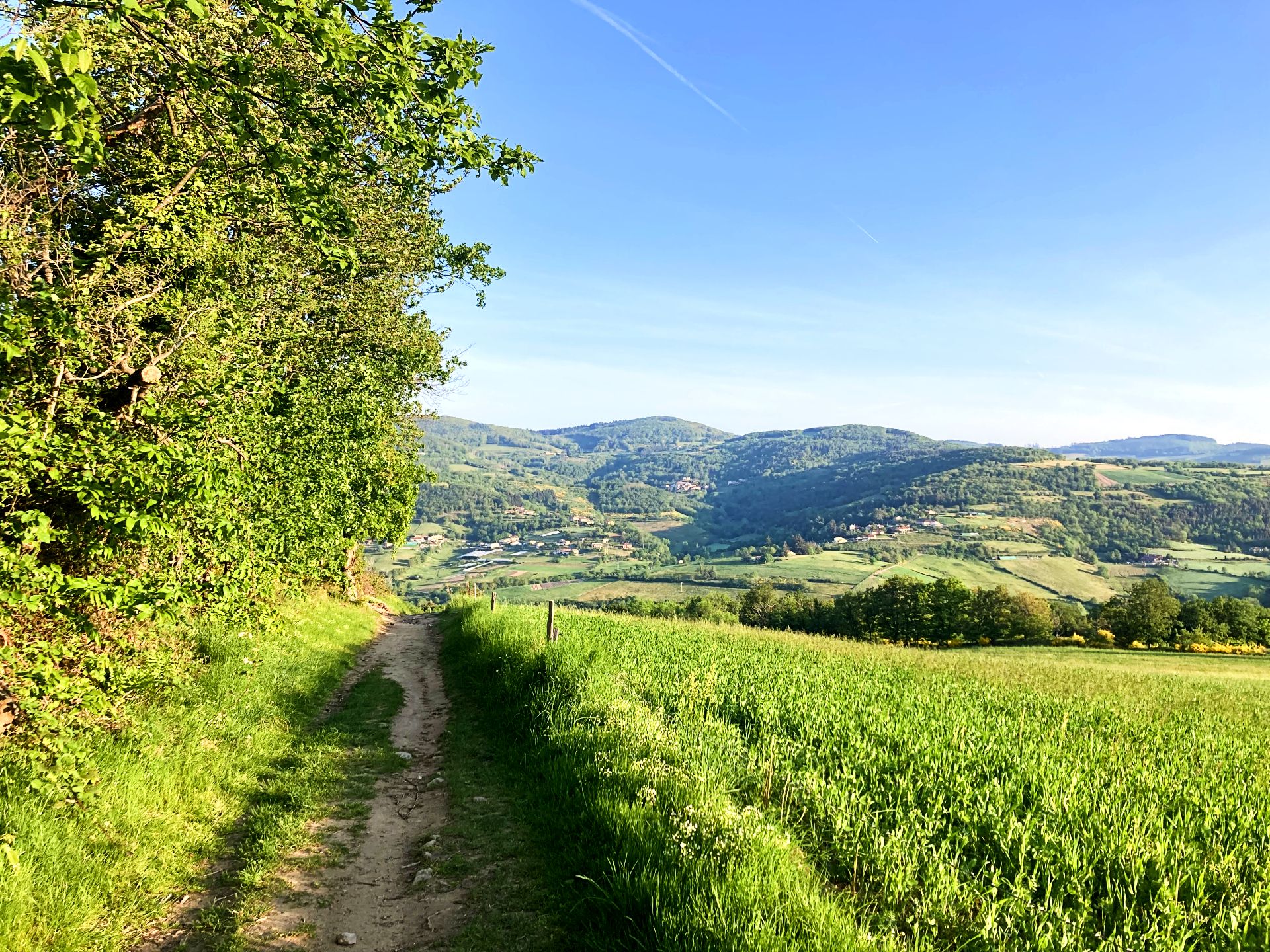
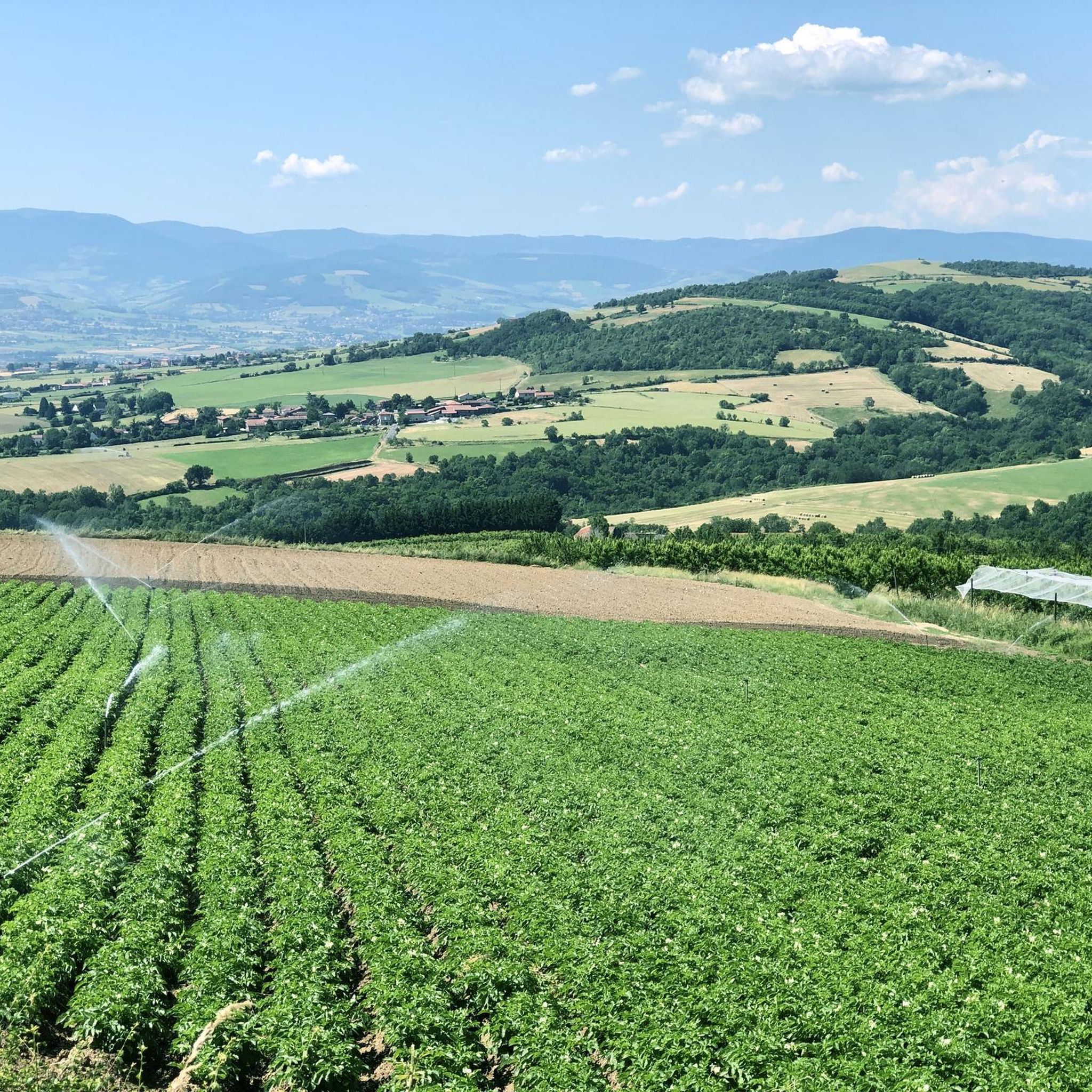
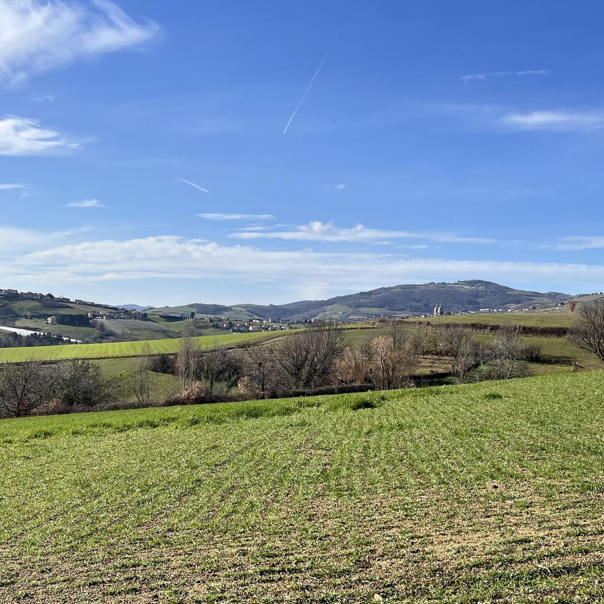
Hiking around Saint-Didier-Sous-Riverie offers diverse landscapes within the Monts du Lyonnais, characterized by rolling hills, valleys, and plateaus. The region features the Bozancon Valley, providing shaded paths and historical remnants of old mills and an unfinished railway line. Elevated points like the Signal de Saint-André offer expansive panoramic views across the Rhône Valley and the Pilat Massif. The area also includes lush orchards and various forests, enhancing the natural beauty of the trails.
Best hiking trails around Saint-Didier-Sous-Riverie
- The most…
Last updated: August 18, 2026
4.8
(27)
78
hikers
8.79km
02:29
180m
180m
Moderate hike. Good fitness required. Easily-accessible paths. Suitable for all skill levels.
4.7
(12)
68
hikers
11.3km
03:18
310m
300m
Moderate hike. Good fitness required. Easily-accessible paths. Suitable for all skill levels.

Sign up for free
4.8
(12)
52
hikers
15.8km
04:41
480m
480m
Moderate hike. Good fitness required. Easily-accessible paths. Suitable for all skill levels.
4.7
(3)
42
hikers
7.30km
02:02
140m
140m
Moderate hike. Good fitness required. Easily-accessible paths. Suitable for all skill levels.
5.0
(1)
23
hikers
7.64km
02:14
210m
210m
Moderate hike. Good fitness required. Easily-accessible paths. Suitable for all skill levels.
Get access to more routes and recommendations from other explorers.
Sign up for free
Already have an account?
Our route recommendations are based on thousands of hikes, rides, and runs completed by other people on komoot.
Start today with a free account
Your next adventure awaits.
Login or Signup
Popular around Saint-Didier-Sous-Riverie

Other adventures around Saint-Didier-Sous-Riverie

Tips from the Community

magnificent view of the valley and its orchards
0
0

the piers of the unfinished Grand Bozançon bridge (the railway line was never unfinished). The work was stopped by the First World War and never resumed.
0
0

High point of the Monts du Lyonnais
0
0

Beautiful undergrowth, green place, view of Pilat and the Monts du Lyonnais
0
0

The Signal site, an emblematic highest point in the Monts du Lyonnais, located at 934 meters, equipped with a belvedere and an orientation table.
0
0

Small square in front of the church offering a bar and public toilets.
0
0
Interesting is the Cassini terminal, where the first surveys were carried out in 1758 to draw up the map of Lyon, a moment in history.
0
0
The 2 orientation tables at the Signal de St-André (at 934m) offer a panorama of the Rhône valley and the Metropolis of Lyon, and on clear days as far as the Alps.
0
0
Frequently Asked Questions
How many hiking trails are available in Saint-Didier-Sous-Riverie?
There are over 470 hiking routes available in and around Saint-Didier-Sous-Riverie, offering a wide variety of experiences for all skill levels.
What kind of landscapes can I expect to see while hiking in this region?
The region is characterized by the rolling Monts du Lyonnais, featuring a mix of valleys and plateaus. You'll find lush orchards, dense forests, and the scenic Bozançon Valley with its river, providing shaded paths. From higher points, you can enjoy expansive panoramic views.
What historical features can I discover on the hiking trails?
Many trails lead past fascinating remnants of the Roman Aqueduct of Gier and the ruins of old mills along the Bozançon Valley. You can also find paths that utilize sections of an incomplete railway line, including impressive viaducts, which have been repurposed for hiking.
Are there any notable viewpoints or panoramic vistas?
Yes, from elevated points such as the Signal de Saint-André, hikers are rewarded with expansive panoramic views that can stretch across the Rhône Valley, the Lyon metropolis, the Pilat Massif, and even the distant Alps on clear days. A route like Le Signal de Saint André – Saint Catherine Church loop from Sainte-Catherine can take you there.
Are there hiking trails suitable for beginners or those looking for an easy walk?
Absolutely. Saint-Didier-Sous-Riverie offers over 120 easy routes, perfect for beginners or those seeking a relaxed stroll through the picturesque landscapes. These often follow gentler terrain through orchards or along the valley floor.
Are there more challenging hikes for experienced trekkers?
Yes, for more experienced hikers, there are nearly 60 difficult routes available. These trails typically involve greater elevation changes and longer distances, providing a more strenuous and rewarding experience within the Monts du Lyonnais.
Are there any family-friendly hiking options?
Many of the easier routes are suitable for families. The varied terrain, historical features like the Roman aqueduct, and the natural beauty of the Bozançon Valley offer engaging experiences for children. Look for routes with less elevation gain and shorter distances.
What do other hikers say about the trails in Saint-Didier-Sous-Riverie?
The hiking routes in Saint-Didier-Sous-Riverie are highly rated by the komoot community, with an average score of 4.5 stars from over 900 reviews. Hikers often praise the diverse landscapes, the historical points of interest, and the well-maintained paths.
Are there any circular walks available?
Yes, many of the trails in the region are designed as circular routes, allowing you to start and end at the same point. An example is the Boutonne Viaduct – Jurieux Aqueduct loop from Chabanière, which showcases historical features along the Bozançon Valley.
Can I find trails that explore local heritage and villages?
Certainly. Trails like the Saint-Appolinaire Chapel – Saint Catherine Church loop from Sainte-Catherine explore local heritage, leading past religious sites such as the Chapels Saint-Apollinaire and Saint-Pierre. The medieval village of Riverie is also a point of interest often included in longer routes.
Where can I find parking for hiking trails in Saint-Didier-Sous-Riverie?
Parking is generally available in or near the villages that serve as starting points for the trails, such as Saint-Didier-Sous-Riverie itself or nearby Sainte-Catherine. Specific parking information is often detailed on individual route descriptions.
Are there any lakes or water features to visit while hiking?
The Bozançon Valley and its river are central to many routes, providing refreshing stops. Additionally, you can find highlights like Thurins Dam or Lac de la Madone, which can be incorporated into your hiking plans, such as the Madone Lake – Lac de la Madone loop from Mornant.
What is the best time of year to go hiking in Saint-Didier-Sous-Riverie?
The region is pleasant for hiking throughout much of the year. Spring and autumn offer mild temperatures and beautiful colors, while summer provides shaded paths along the Bozançon Valley, which can be particularly refreshing. Clear days in any season can offer stunning panoramic views.
Most popular routes around Saint-Didier-Sous-Riverie
Most popular attractions around Saint-Didier-Sous-Riverie

Get inspired with the komoot mobile app


Explore more
Browse the best Hikes in other regions.
