The best MTB trails around Vaux-Saules
3.7
(4)
40
riders
16
rides
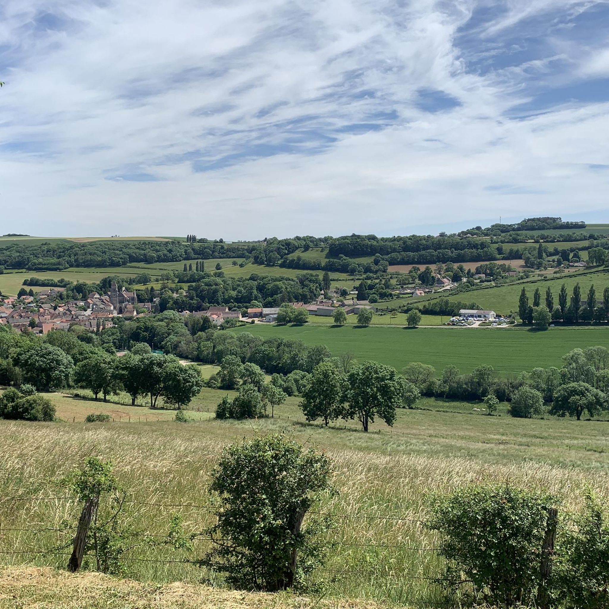
Mountain biking around Vaux-Saules offers a diverse landscape characterized by rolling hills, deep valleys, and dense woodlands. The region features numerous natural springs and river sources, including the Source of the Seine, providing varied terrain for exploration. Viewpoints are common, offering expansive vistas over the surrounding countryside. This area provides a mix of elevations, with routes traversing both lower valley floors and higher ground.
Best mountain bike trails around Vaux-Saules
- The most popular mountain bike trail is Le Haut des…
Last updated: May 22, 2026
5.0
(1)
14
riders
36.9km
03:05
510m
510m
Moderate mountain bike ride. Good fitness required. Advanced riding skills necessary.
6
riders
34.3km
02:51
610m
610m
Moderate mountain bike ride. Good fitness required. Advanced riding skills necessary.

Sign up for free
3.0
(1)
5
riders
38.3km
03:24
630m
630m
Moderate mountain bike ride. Good fitness required. Advanced riding skills necessary.
5.0
(1)
2
riders
26.5km
01:56
270m
270m
Easy mountain bike ride. Great for any fitness level. Suitable for all skill levels.
7
riders
24.9km
02:03
250m
250m
Moderate mountain bike ride. Good fitness required. Suitable for all skill levels.
Get access to more routes and recommendations from other explorers.
Sign up for free
Already have an account?
Our route recommendations are based on thousands of hikes, rides, and runs completed by other people on komoot.
Start today with a free account
Your next adventure awaits.
Login or Signup
Tips from the Community

A bucolic, clean, well-maintained, and shaded spot, with tables and trash cans for picnicking. It's officially a Paris commune, but it looks nothing like Paris.
0
0

The Creux Percé is an inverted cone-shaped collapsed chasm approximately 60 m deep and with a circumference ranging from 35 to 25 m at the surface. This chasm is primarily known to speleologists. Exploration of this chasm and its lateral networks began in the 19th century. This site has long been a natural icehouse with a bottom that reaches sub-zero temperatures, even in summer. https://www.bourgogne-tourisme.com/ In May 2025, a special outing, supervised by the Dijon Speleo Club, will allow visitors to descend into this crater.
1
0
There's a signposted and very beautiful circular trail that includes the source of the Seine. Learn more on the official website here: https://www.cotedor-randonnee.com/
1
0
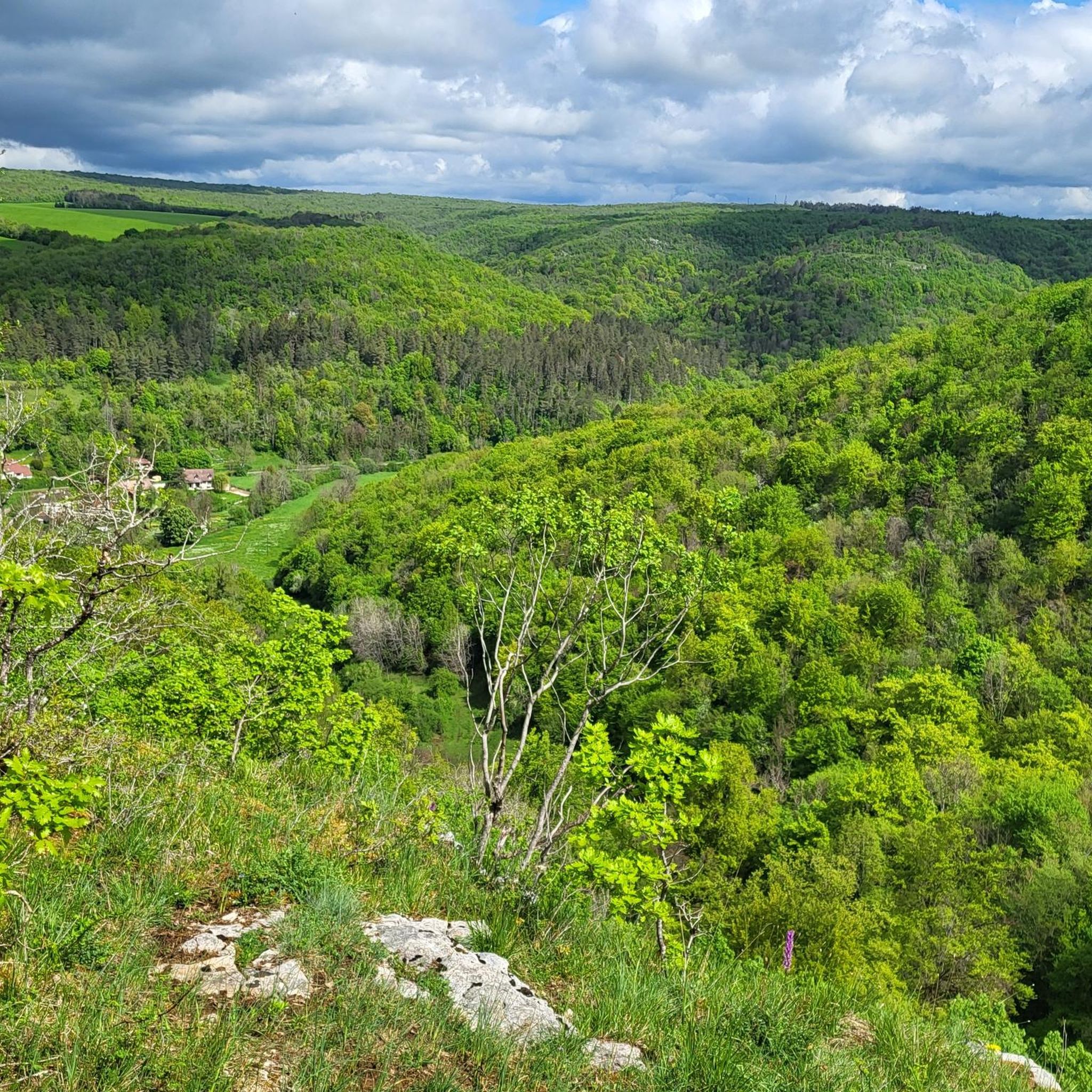
The Celerons viewpoint is accessible via a narrow path that branches off from the hiking trail. Caution! The path runs right along the edge of the cliffs. However, the view over the Combe des Vaux des Roches gorge and its foothills is fantastic and worth the short detour.
3
0

very beautiful, in good weather the name of the place is confirmed
0
0

Wikipedia reports: "The source of the Seine is located on the plateau of Langres, 25 km north-west of Dijon in the Côte-d'Or department in the Bourgogne-Franche-Comté region, 470 m above sea level. A special feature is that the sources of the Seine were the property of the city of Paris from 1864 onwards. An artificial grotto was built a year later to protect the main source and a statue of a nymph was erected to symbolize the river. Paris has since returned the property to the region. Near the source are the remains of a Gallo-Roman temple in which a Dea Sequana (Latin goddess of the Seine) was worshipped. The archaeological finds from this are now in the archaeological department of the Musée des Beaux-Arts in Dijon."
2
1

Gentle descent from Saussy, the road is of good quality, watch out for the bends.
0
0
Beautiful asphalt road crossing the Val-Suzon nature reserve. The reserve has an area of 3000 ha. The natural heritage of this area is unique, it presents a rich diversity of environments: dry lawns, scree, tufa marshes located in the heart of very diverse forest habitats - from which cliffs offer landscaped viewpoints over the valley.
0
0
Frequently Asked Questions
How many mountain bike trails are available in Vaux-Saules?
There are over 15 mountain bike trails around Vaux-Saules, offering a variety of experiences. These include 3 easy routes and 12 moderate routes, catering to different skill levels.
Are there easy mountain bike trails suitable for beginners in Vaux-Saules?
Yes, Vaux-Saules offers several easy mountain bike trails perfect for beginners. One such option is the Source of the Seine loop from Bligny-le-Sec, which is 11.8 miles (19 km) long and takes approximately 1 hour 33 minutes to complete.
What are the typical distances and durations for mountain bike trails in Vaux-Saules?
Trail distances in Vaux-Saules vary, with routes ranging from approximately 11.8 miles (19 km) to 23.7 miles (38.1 km). Durations typically range from 1 hour 30 minutes for shorter, easier routes to over 3 hours for longer, moderate trails.
Are there family-friendly mountain bike trails in Vaux-Saules?
For families looking for a less strenuous ride, the easy trails are a great choice. The Washhouse – Trou bleu loop from Moloy is an easy 16.5 miles (26.5 km) route that takes around 1 hour 58 minutes, offering a pleasant experience for various skill levels.
Are there advanced mountain bike routes in Vaux-Saules?
Currently, the trails around Vaux-Saules are categorized as easy or moderate. There are no routes specifically classified as difficult, making the area more suitable for beginners and intermediate riders.
Which mountain bike trails offer the best scenic views in Vaux-Saules?
Many trails in Vaux-Saules feature scenic viewpoints. The La Roche Virante – Celerons viewpoint loop from Val-Suzon is a great option, leading past the notable Celerons viewpoint. The region is known for its rolling hills and deep valleys, providing expansive vistas.
Are there circular mountain bike routes available in Vaux-Saules?
Yes, many of the mountain bike routes in Vaux-Saules are circular, allowing you to start and end at the same point. Examples include the popular Le Haut des Lavières – Source of the Seine loop from Côte-d'Or and the Val-Suzon – Tour de Saussy loop from Sainte-Foy.
What natural attractions can I see along the mountain bike trails in Vaux-Saules?
The trails often pass by significant natural features. You can explore areas around the Source of the Seine, discover the Gouffre du creux Percé, or ride through the scenic Val-Suzon.
What do other mountain bikers enjoy the most about mountain biking in Vaux-Saules?
The area is highly rated by the komoot community, with an average score of 3.7 stars from over 4 reviews. Mountain bikers often praise the diverse landscape, which includes rolling hills, deep valleys, and dense woodlands, as well as the varied terrain that caters to different skill levels.
Are there any specific highlights or landmarks to look out for while mountain biking in Vaux-Saules?
Beyond the natural beauty, you can encounter several points of interest. The Source of the Seine is a notable landmark, and the Celerons viewpoint offers panoramic views. The region also features unique geological formations like the Gouffre de la Combe aux Prêtres.
Most popular attractions around Vaux-Saules

Get inspired with the komoot mobile app


Explore more
Browse the best MTB trails in other regions.
