The best walks and hikes around Vaux-Saules
4.0
(146)
740
hikers
44
hikes
Hiking around Vaux-Saules offers diverse landscapes, characterized by dense woodlands, picturesque valleys, and notable natural features. The region features impressive gorges, such as the Combe des Vaux des Roches, and the significant Source of the Seine River. Trails often traverse varied terrain, including climbs through vineyards and serene forest paths. This area provides a rich tapestry of natural beauty for outdoor exploration.
Best hiking trails around Vaux-Saules
- The most popular hiking route is Source of the Seine Trail, a…
Last updated: July 6, 2026
4.6
(12)
56
hikers
16.6km
04:29
220m
220m
Moderate hike. Good fitness required. Mostly accessible paths. Sure-footedness required.
4.4
(5)
27
hikers
15.9km
04:30
320m
320m
Moderate hike. Good fitness required. Easily-accessible paths. Suitable for all skill levels.

Sign up for free
2.5
(4)
18
hikers
17.3km
05:01
410m
410m
Hard hike. Very good fitness required. Easily-accessible paths. Suitable for all skill levels.
2.5
(2)
15
hikers
6.13km
01:40
90m
90m
Easy hike. Great for any fitness level. Easily-accessible paths. Suitable for all skill levels.
3.3
(3)
8
hikers
14.6km
04:00
220m
230m
Moderate hike. Good fitness required. Easily-accessible paths. Suitable for all skill levels.
Get access to more routes and recommendations from other explorers.
Sign up for free
Already have an account?
Our route recommendations are based on thousands of hikes, rides, and runs completed by other people on komoot.
Start today with a free account
Your next adventure awaits.
Login or Signup
Tips from the Community

Much more impressive in person than in photos and it's possible to get close to the chasm. Not to be missed
0
0

A bucolic, clean, well-maintained, and shaded spot, with tables and trash cans for picnicking. It's officially a Paris commune, but it looks nothing like Paris.
0
0

Be careful when going down the 10 meters of the small path to see the chasm. Even in dry weather it is slippery and there is nothing to prevent you from falling into the chasm. So be careful.
1
0

The Creux Percé is an inverted cone-shaped collapsed chasm approximately 60 m deep and with a circumference ranging from 35 to 25 m at the surface. This chasm is primarily known to speleologists. Exploration of this chasm and its lateral networks began in the 19th century. This site has long been a natural icehouse with a bottom that reaches sub-zero temperatures, even in summer. https://www.bourgogne-tourisme.com/ In May 2025, a special outing, supervised by the Dijon Speleo Club, will allow visitors to descend into this crater.
1
0
There's a signposted and very beautiful circular trail that includes the source of the Seine. Learn more on the official website here: https://www.cotedor-randonnee.com/
1
0
Of the three caves, two are relatively easy to access. One can even be walked through—a beautiful place.
3
0
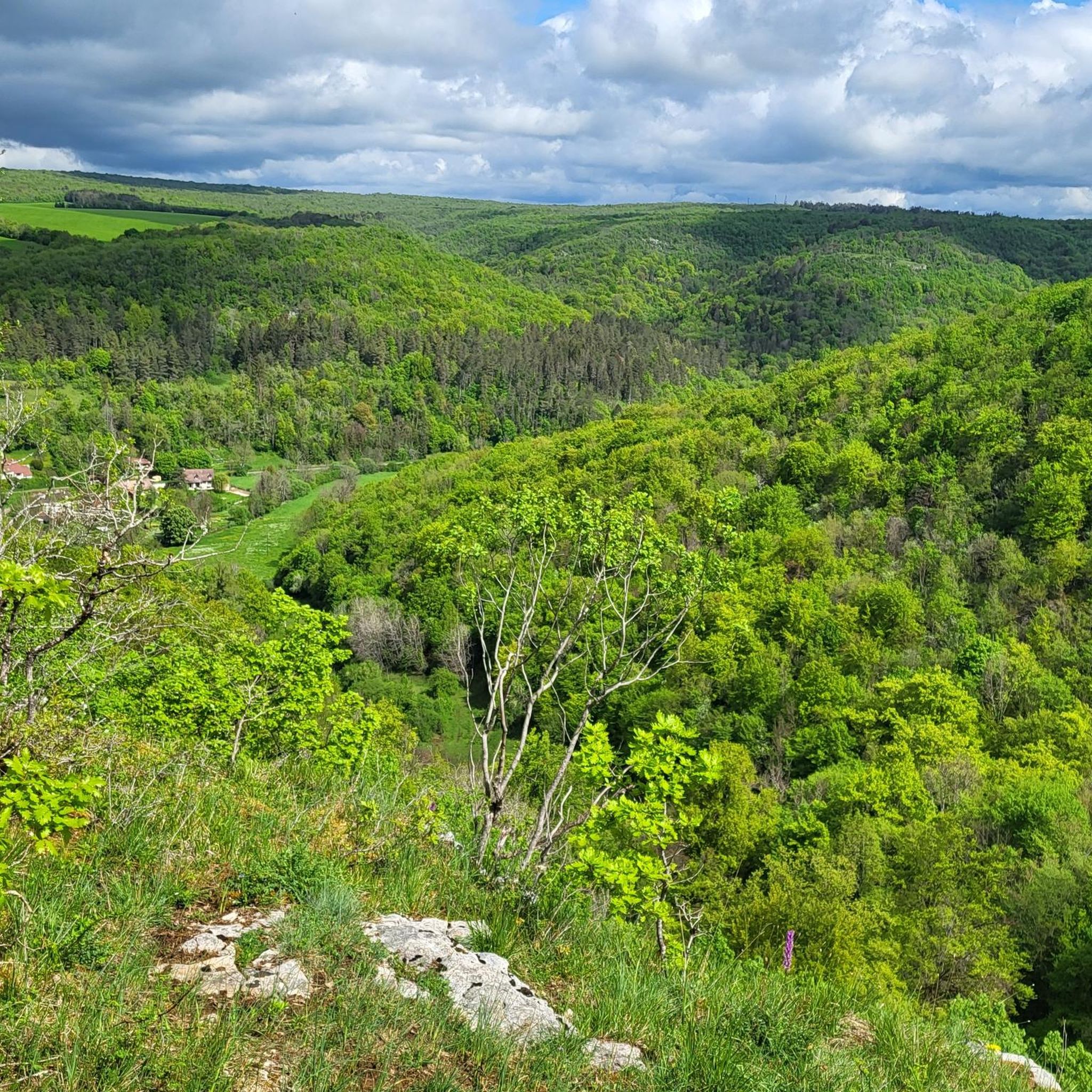
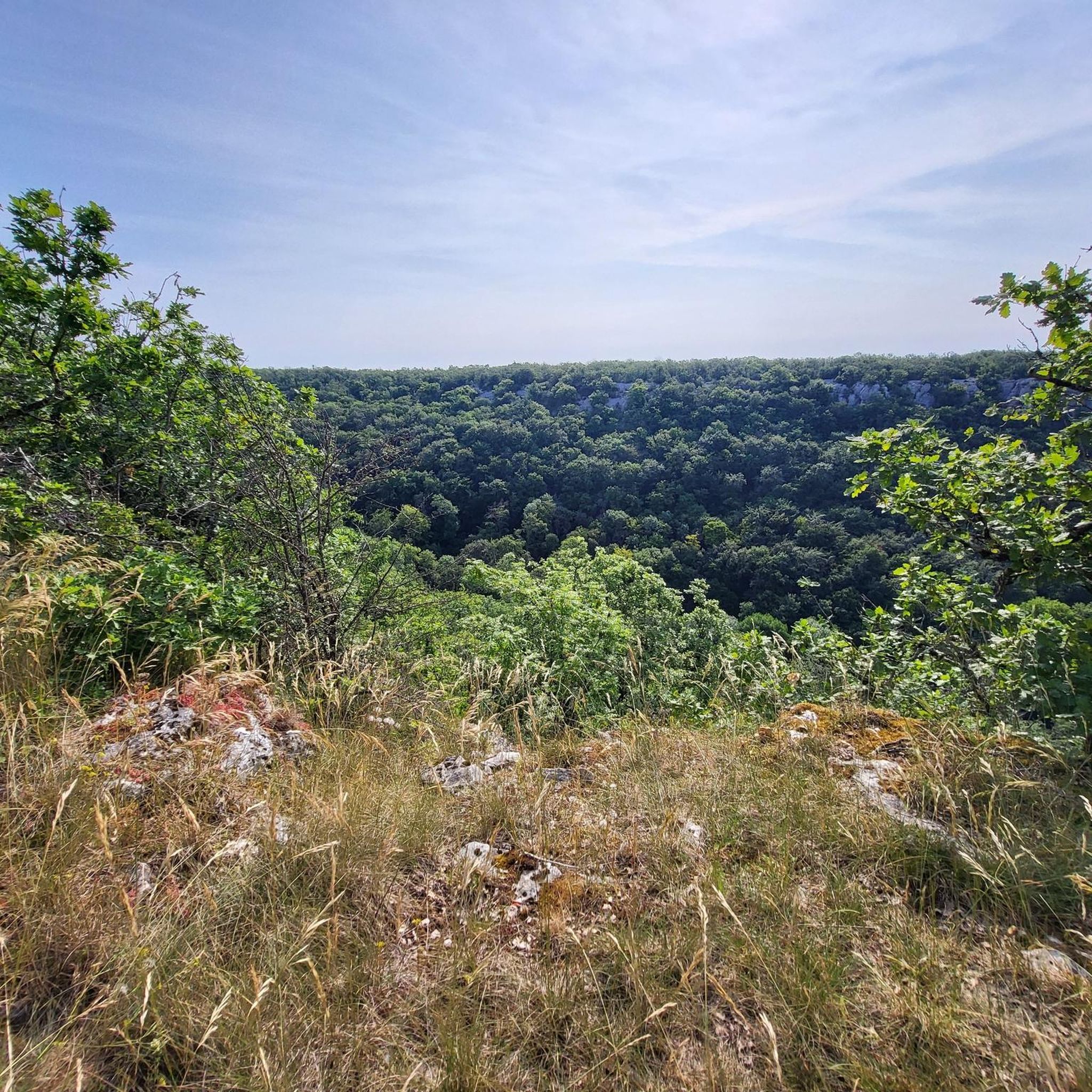
The Celerons viewpoint is accessible via a narrow path that branches off from the hiking trail. Caution! The path runs right along the edge of the cliffs. However, the view over the Combe des Vaux des Roches gorge and its foothills is fantastic and worth the short detour.
3
0

Wikipedia reports: "The source of the Seine is located on the plateau of Langres, 25 km north-west of Dijon in the Côte-d'Or department in the Bourgogne-Franche-Comté region, 470 m above sea level. A special feature is that the sources of the Seine were the property of the city of Paris from 1864 onwards. An artificial grotto was built a year later to protect the main source and a statue of a nymph was erected to symbolize the river. Paris has since returned the property to the region. Near the source are the remains of a Gallo-Roman temple in which a Dea Sequana (Latin goddess of the Seine) was worshipped. The archaeological finds from this are now in the archaeological department of the Musée des Beaux-Arts in Dijon."
2
1
Frequently Asked Questions
How many hiking trails are available around Vaux-Saules?
Vaux-Saules offers a wide variety of hiking experiences, with over 40 identified trails. These routes cater to different skill levels, including 8 easy, 31 moderate, and 5 difficult options, ensuring there's a path for every hiker.
Are there any easy or family-friendly hiking trails in Vaux-Saules?
Yes, Vaux-Saules has several easy trails suitable for families and beginners. A great option is the Source of the Seine – Pont Paul Lamarche loop from Source-Seine, which is an easy 6.1 km route that takes about 1 hour 40 minutes to complete. The area around the Source of the Seine also features spacious meadows ideal for picnics.
What kind of natural features can I expect to see on hikes in Vaux-Saules?
The region is rich in natural beauty. You can explore impressive gorges like the Combe des Vaux des Roches, discover the historic Source of the Seine, and traverse diverse woodlands. Many trails offer scenic viewpoints, such as the Celerons viewpoint, which provides fantastic views over the gorge.
Are there any circular hiking routes in Vaux-Saules?
Yes, many of the trails in Vaux-Saules are designed as circular routes, allowing you to start and end at the same point. For instance, the Source of the Seine Trail is a 16.6 km loop that explores the river's origins through woodlands and countryside.
What do other hikers say about the trails in Vaux-Saules?
The hiking trails in Vaux-Saules are highly regarded by the komoot community, with an average rating of 3.9 stars from over 120 reviews. Hikers often praise the diverse landscapes, the tranquility of the woodlands, and the well-maintained paths that lead to notable natural attractions like the Source of the Seine.
Are there any challenging hikes for experienced trekkers?
Absolutely. For those seeking a more strenuous adventure, the region offers several difficult trails. A notable challenging option is the Trou du Soucy loop from Francheville, a 17.3 km path with significant elevation gain that typically takes around 5 hours to complete.
Are there specific viewpoints or scenic spots along the trails?
Vaux-Saules boasts several stunning viewpoints. The Celerons viewpoint, accessible via routes like the Celerons viewpoint – Creux Perçé Chasm loop, offers panoramic views of the Combe des Vaux des Roches gorge. The Vaux Valley also has viewpoints, such as Theu, providing vistas of vineyards and villages.
What is the best time of year to go hiking in Vaux-Saules?
The region is enjoyable for hiking throughout much of the year. Spring and autumn offer pleasant temperatures and beautiful foliage, while summer provides longer daylight hours. The diverse woodlands and varied terrain make it suitable for exploration across different seasons, though specific conditions might vary.
Are there any hidden gems or less-known trails to explore?
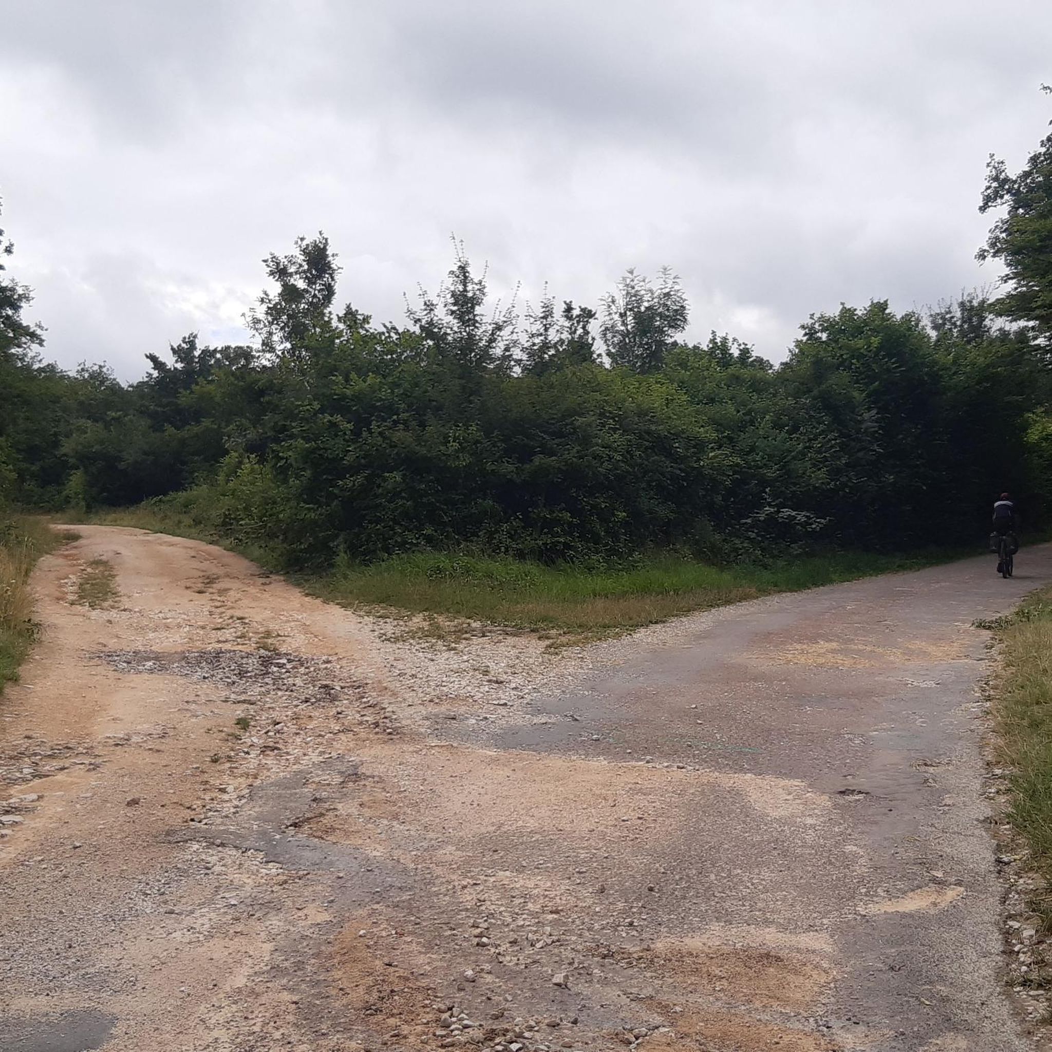
Beyond the popular routes, Vaux-Saules is home to many hidden gems. The region's extensive network of trails, including the peaceful "route forestière de Jouvence" (accessible by gravel and car-free), allows for discovery of protected natural sites and tranquil woodland paths away from the crowds.
Are there places to picnic or relax during a hike?
Yes, several spots are perfect for a break. The meadow near the Source of the Seine is equipped with wooden tables, making it an ideal picnic spot. Additionally, the area around the Etaules Washhouse, nestled in the woods, offers a serene setting for a picnic by a pond.
Can I find information about hiking in the broader Burgundy region?
Yes, the Burgundy region as a whole is a fantastic destination for hikers, boasting over 6,000 km of trails, from short walks to long-distance 'Grande Randonnée' (GR) routes. For more general information about outdoor activities in Burgundy, you can visit burgundy-tourism.com.
Most popular attractions around Vaux-Saules

Get inspired with the komoot mobile app


Explore more
Browse the best Hikes in other regions.
