The best walks and hikes around Saint-Sardos
4.5
(105)
592
hikers
67
hikes
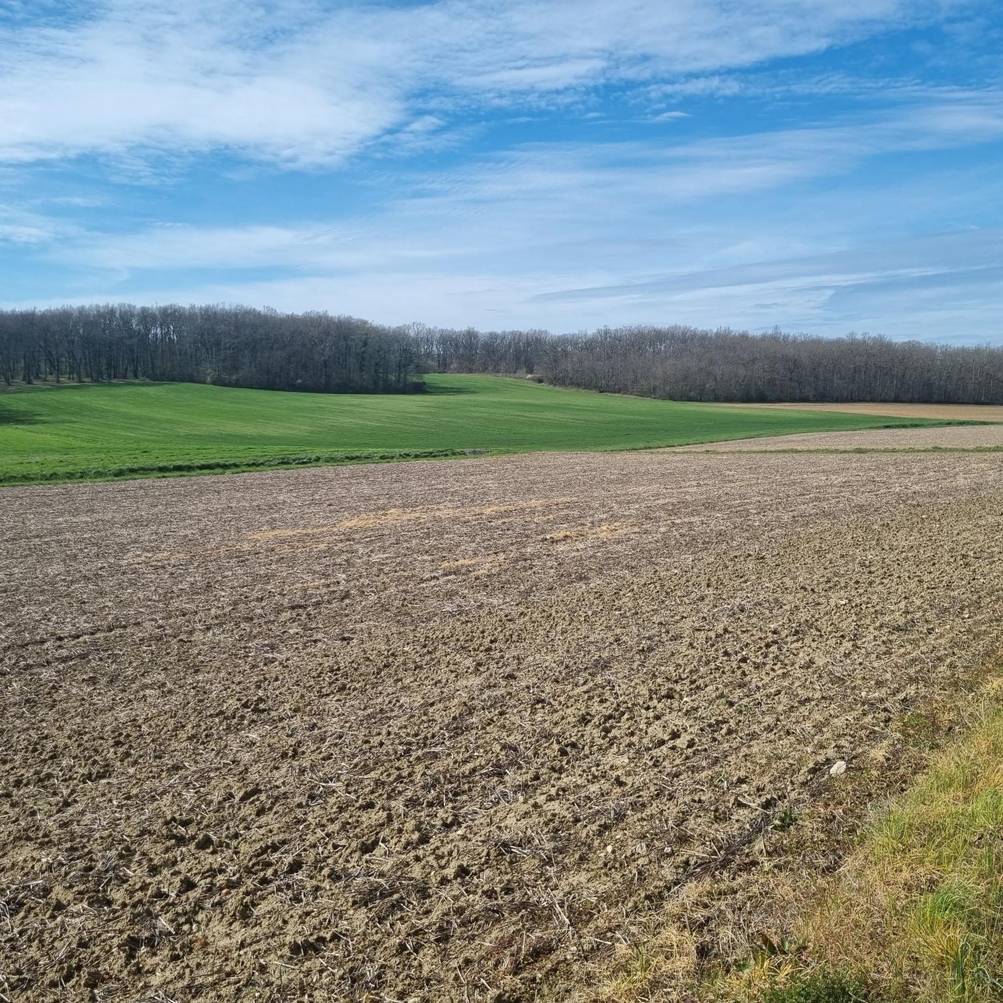
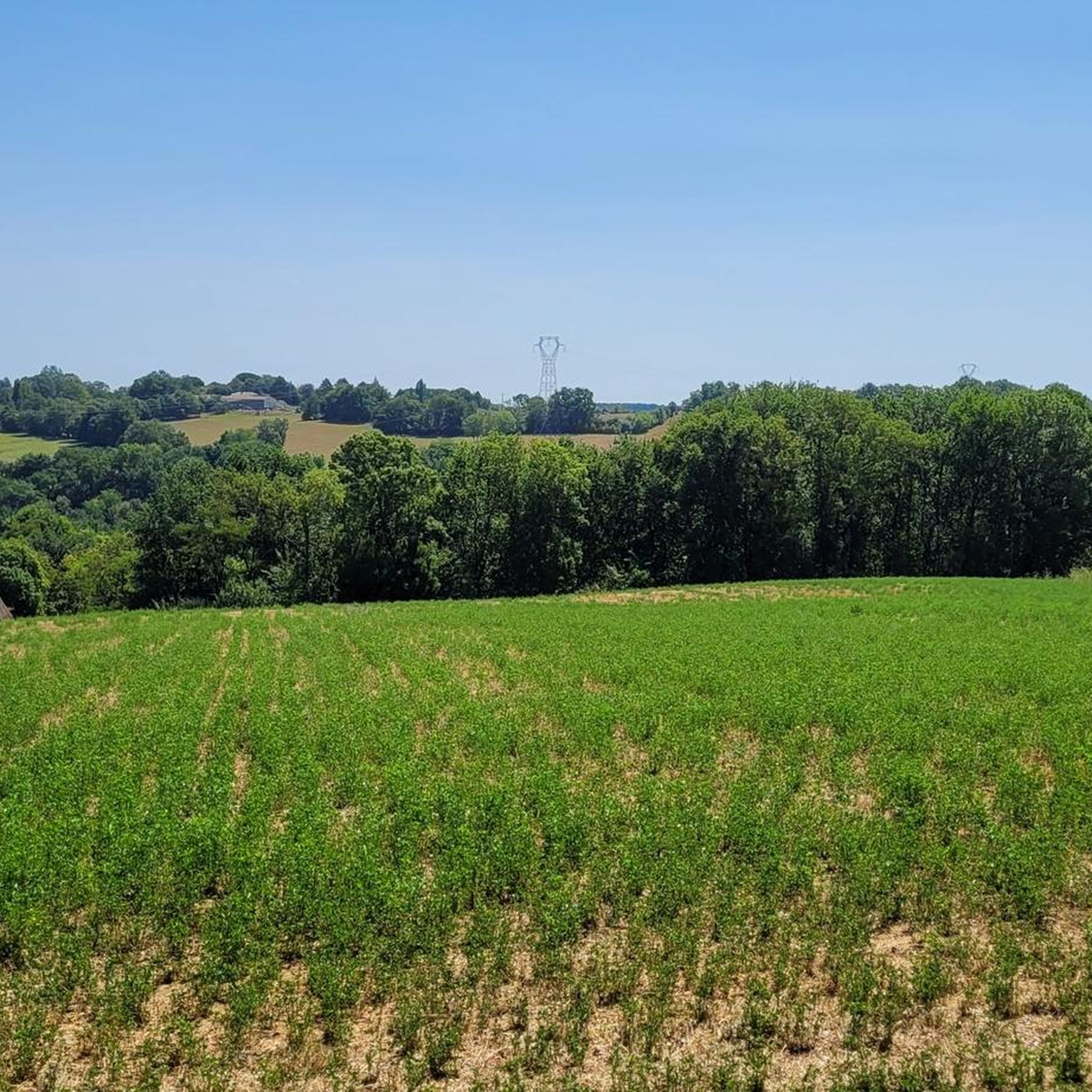
Hiking around Saint-Sardos offers diverse landscapes, characterized by an undulating countryside with rolling hills, a mix of orchards, woods, and fields. Many trails follow the tranquil Garonne Riverbanks, providing scenic views. The region also features several lakes, including the Lake of Saint-Sardos, and agricultural areas with vineyards, contributing to varied scenery.
Best hiking trails around Saint-Sardos
- The most popular hiking route is Hiking loop from Saint-Sardos, a 9.6 miles (15.5 km) trail that takes 4 hours 18 minutes to…
Last updated: July 9, 2026
4.7
(7)
27
hikers
15.7km
04:22
280m
280m
Moderate hike. Good fitness required. Easily-accessible paths. Suitable for all skill levels.
4.3
(3)
24
hikers
7.83km
02:07
110m
110m
Moderate hike. Good fitness required. Easily-accessible paths. Suitable for all skill levels.

Sign up for free
5.0
(1)
12
hikers
10.9km
03:08
270m
270m
Moderate hike. Good fitness required. Easily-accessible paths. Suitable for all skill levels.
5.0
(2)
13
hikers
15.8km
04:19
240m
240m
Moderate hike. Good fitness required. Easily-accessible paths. Suitable for all skill levels.
5.0
(1)
4
hikers
6.05km
01:42
120m
120m
Easy hike. Great for any fitness level. Easily-accessible paths. Suitable for all skill levels.
Get access to more routes and recommendations from other explorers.
Sign up for free
Already have an account?
Our route recommendations are based on thousands of hikes, rides, and runs completed by other people on komoot.
Start today with a free account
Your next adventure awaits.
Login or Signup


Tips from the Community

Perched on the heights of the Lot valley, the Capet windmill was built before 1324, but it is found dated 1870 on a stone at the entrance to the mill. Was it demolished and rebuilt? Possible! Be that as it may, this old building was once, as its name indicates, the mill of the lords of Montpezat whose successive castles were razed, except for the vital organ it represented and which constituted the survival of the inhabitants! The Château site where the mill is located was purchased by the municipality in February 1988 and the Capet lands in 1989. In 1998, the municipality decided to restore this mill which, after remaining for many years in a state of abandonment and ruin (only the shaft remained), finally had a new project for life.
0
0
top I recommend for pretty photos
0
0
« Lou Mouli del Castel » « Lou Mouli del Castel », as the elders of Montpezat familiarly called it, raises its tall stature on the rocky spur located west of the village, from where one overlooks the beautiful Lot valley. Writings in P. CHAPLAIS' book « The war of Saint SARDOS » tell us that the Capet windmill was built before 1324, but we find it dated 1870 on a stone at the entrance to the mill. Was it demolished and rebuilt? Possible! Be that as it may, this old building was once, as its name indicates, the mill of the lords of Montpezat, whose successive castles were razed, except for the vital organ it represented and which constituted the survival of the inhabitants! The site of the Castle where the mill is located was purchased by the commune in February 1988 and the Capet lands in 1989. In 1998, the municipality decided to restore this mill which, after having remained for many years in a state of abandonment and ruin (only the shaft remained), finally had a new life project. Thus, on a beautiful spring morning in 2005, our mill regained its wings. There are 3 mills in the commune, only this one is communal, the other two are private. This restoration would not have been possible without the determination of the elected officials of the time and without the various grants that were awarded. Thanks to them, we today have the most beautiful mill in the... village.
0
0
very beautiful hike in the region
0
0

A literary monument – albeit one that seems rather bizarre in the context of the story – has been erected by the Spanish author Miguel de Cervantes to the windmills with which our ancestors harnessed the energy of the wind centuries ago to move the large and heavy millstones: In one episode, his tragic novel hero Don Quixote, the “knight of the sorrowful countenance”, wants to defeat them in a duel, believing that he is fighting against giants with four arms.
0
0

Off-road sections can be slippery in winter
0
0
Great church in the city center those who love top monuments
0
0

The site of the Château where the mill is located was purchased by the municipality in February 1988 and the Capet site in 1989. In 1998, the municipality decided to restore this mill, which, after being in a state of desolation for many years and in ruins (only the barrel remained) is finally given a new life project.
3
1
Frequently Asked Questions
How many hiking trails are there in Saint-Sardos?
There are over 60 hiking routes available around Saint-Sardos, offering a variety of options for different skill levels. These include 19 easy, 31 moderate, and 10 difficult trails.
What kind of terrain can I expect on hikes around Saint-Sardos?
Hikes around Saint-Sardos feature an undulating countryside with rolling hills, a mix of orchards, woods, and fields. Many trails also wind along the tranquil Garonne Riverbanks, offering scenic views. You'll encounter diverse scenery throughout the seasons.
What natural features can I see while hiking in Saint-Sardos?
The region is rich in natural beauty. You can explore the banks of the Garonne River, and several picturesque lakes such as the Lake of Saint-Sardos, and the Lakes of Boulet and Combecave. Many trails also pass through charming vineyards and extensive wooded areas.
Are there any historical or cultural sites to explore near the trails?
Yes, while hiking, you can discover historical sites such as the 12th-century Romanesque portal of Saint-Sardos' church, which is classified as a Historical Monument. Other nearby points of interest include Prayssas Village Square and the Saint John the Baptist Church.
What do other hikers enjoy most about hiking in Saint-Sardos?
The area is highly rated by the komoot community, with an average score of 4.4 stars from nearly 100 reviews. Hikers often praise the varied terrain, including quiet woodlands and open fields, and the well-marked paths that cater to different abilities.
Are there family-friendly hiking options in Saint-Sardos?
Yes, Saint-Sardos offers several family-friendly trails. For instance, the 'Tèrra Aventura' trail is a 2 km treasure hunt themed around the Hundred Years' War, combining local heritage discovery with playful exploration, perfect for families.
Can I bring my dog on the hiking trails in Saint-Sardos?
Many trails in Saint-Sardos are suitable for dogs, especially those through wooded areas and open fields. However, it's always recommended to keep your dog on a leash, especially near agricultural land or protected natural zones, and to check specific trail regulations if available.
Are there any circular hiking routes in Saint-Sardos?
Yes, many of the trails around Saint-Sardos are circular. Popular loop options include the Hiking loop from Saint-Sardos (15.5 km) and the Escalibur loop from Saint-Sardos (8.5 km), which traverse varied landscapes.
Where can I find parking for hiking trails in Saint-Sardos?
Parking is generally available near popular trailheads and points of interest, such as the Lake of Saint-Sardos leisure center or in the villages where routes begin. Specific parking information can often be found on individual route descriptions.
Is public transport available to reach hiking trailheads in Saint-Sardos?
While Saint-Sardos is primarily accessed by car, some local bus services might connect to nearby towns. For specific trailheads, public transport options may be limited, so planning your journey in advance is advisable. Check local transport schedules for the most up-to-date information.
Are there any challenging hikes in the Saint-Sardos area?
Yes, for those seeking a more challenging experience, Saint-Sardos offers several difficult routes. An example is the Escalibur loop from Montpezat, which covers 18.1 km with significant elevation changes, providing a rewarding workout.
What are the typical durations for hikes around Saint-Sardos?
Hike durations vary significantly based on length and difficulty. Shorter, easier loops like the 'Lac de Beaumont-de-Lomagne loop' might take around an hour, while moderate trails such as the Escalibur loop from Carrolis (7.8 km) typically take about 2 hours. Longer, more challenging routes can extend to 4-5 hours or more.
What is the best time to visit Saint-Sardos for hiking?
Saint-Sardos is enjoyable for hiking throughout much of the year. Spring and autumn offer pleasant temperatures and beautiful scenery with blooming orchards or vibrant fall colors. Summer can be warm, making early morning or late afternoon hikes preferable, especially along shaded wooded paths or near the Garonne River.
Most popular attractions around Saint-Sardos

Get inspired with the komoot mobile app


Explore more
Browse the best Hikes in other regions.
