The best running trails around Neuvy-Bouin
4.2
(24)
436
runners
66
runs
Jogging around Neuvy-Bouin, located in the Deux-Sèvres department of western France, offers diverse natural landscapes for runners. The region features a varied terrain, influenced by its position between the Bocage and Gâtine areas, providing a mix of hedgerows, woodlands, and more rugged countryside. Numerous ponds and greenways, including converted railway lines, offer mostly flat to gently undulating paths suitable for running. The area's proximity to the Marais Poitevin Regional Natural Park further enhances opportunities for exploring a network of canals…
Last updated: July 3, 2026
14
runners
13.1km
01:24
80m
80m
Moderate run. Good fitness required. Mostly paved surfaces. Suitable for all skill levels.
7
runners
8.19km
00:52
60m
50m
Moderate run. Good fitness required. Mostly paved surfaces. Suitable for all skill levels.

Sign up for free
4.0
(1)
11
runners
6.34km
00:42
40m
40m
Moderate run. Good fitness required. Mostly paved surfaces. Suitable for all skill levels.
5
runners
12.4km
01:20
120m
120m
Moderate run. Good fitness required. Mostly paved surfaces. Suitable for all skill levels.
5.0
(1)
6
runners
14.2km
01:35
160m
160m
Moderate run. Good fitness required. Mostly paved surfaces. Suitable for all skill levels.
Get access to more routes and recommendations from other explorers.
Sign up for free
Already have an account?
Our route recommendations are based on thousands of hikes, rides, and runs completed by other people on komoot.
Start today with a free account
Your next adventure awaits.
Login or Signup

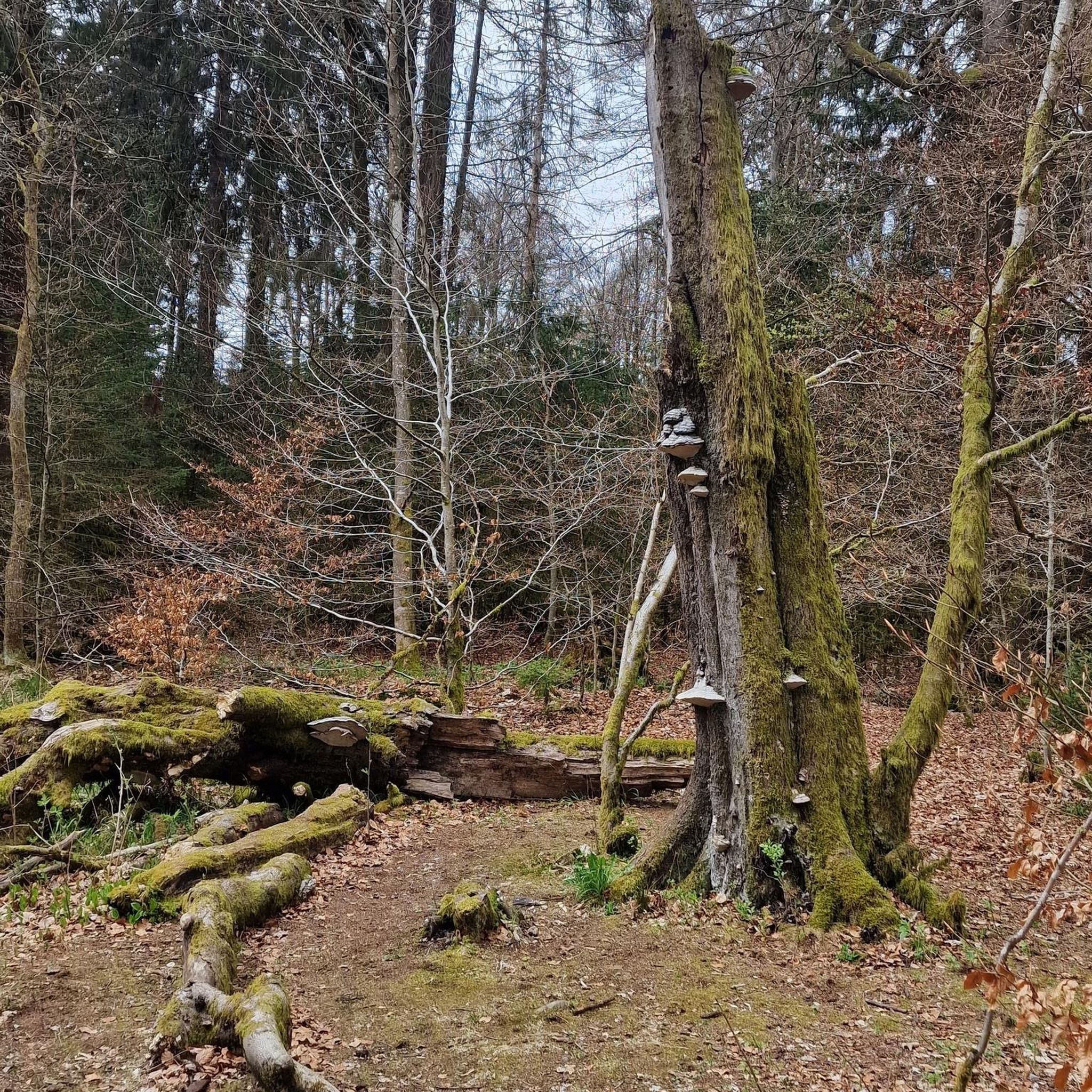

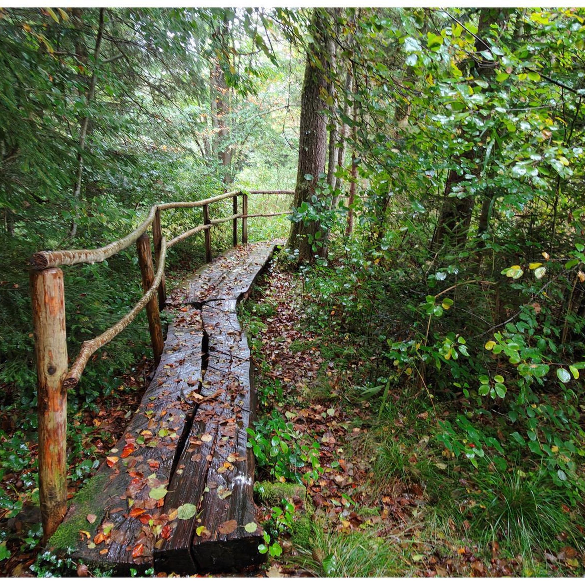

Tips from the Community

The old Clécé train station marks a stop on the old railway line converted into a greenway. The disused building, with its simple lines and exposed timbers, is a perfect resting spot for a break.
1
0

Body of water intended for fishing and placed on the route of the Thouet cycle route. Many picnic tables, games for children and a snack.
1
0
Frequently Asked Questions
How many running routes are available around Neuvy-Bouin?
There are over 60 running routes around Neuvy-Bouin, offering a wide range of options for different fitness levels and preferences. These include easy paths, moderate trails, and some more challenging runs.
What kind of terrain can I expect on the running trails in Neuvy-Bouin?
The terrain around Neuvy-Bouin is quite varied, influenced by its location between the Bocage and Gâtine regions. You'll find a mix of hedgerows, woodlands, and more rugged countryside. Many routes utilize greenways (converted railway lines) and paths around ponds, which are generally flat to gently undulating and often feature asphalt or well-maintained surfaces.
Are there any easy or beginner-friendly running routes in the area?
Yes, Neuvy-Bouin offers several easy running routes suitable for beginners or those looking for a relaxed jog. For instance, the paths around the Plan d'eau de Boismé provide an approximately 4 km loop with beautiful views and mostly paved surfaces, ideal for all fitness levels. The Pescalis Ponds also offer accessible paths.
Can I find circular running routes around Neuvy-Bouin?
Absolutely! Many of the running routes in Neuvy-Bouin are designed as loops, allowing you to start and finish at the same point. A popular option is the Plan d'eau loop from Saint-Aubin-le-Cloud, which is a moderate 8.2 km circuit. Another great choice is the Running loop from Neuvy-Bouin, a 6.6 km moderate trail.
What are some scenic points of interest or landmarks I can see while running?
The region is rich in natural beauty. You can enjoy scenic views around the Pescalis Ponds and the Plan d'eau de Boismé. The area is also home to the unique geological curiosity, the 'Roche branlante de la Garrelière' (rocking rock of Garrelière), which can be integrated into longer routes. Additionally, the Old Clécé station marks a point on a converted railway greenway, offering a glimpse into local history.
Are there any running trails suitable for families with children?
Yes, the gentler paths around the local ponds, such as the Plan d'eau de Boismé or the communal pond in Neuvy-Bouin, are excellent for family outings. These routes are typically flat or gently undulating, making them accessible for various ages and fitness levels, and often provide pleasant spots for relaxation.
What do other runners say about the trails in Neuvy-Bouin?
The running routes in Neuvy-Bouin are highly regarded by the komoot community, boasting an average rating of 4.3 stars from over 20 reviews. Runners often praise the varied landscapes, the peaceful rural setting, and the well-maintained paths around the numerous ponds and greenways.
Is Neuvy-Bouin close to any larger natural parks for more extensive running opportunities?
Yes, Neuvy-Bouin is advantageously located near the expansive Marais Poitevin Regional Natural Park, also known as 'Green Venice'. This park offers a vast network of paths along canals and through diverse natural environments, providing countless opportunities for longer runs and immersive nature experiences.
Are there any running routes that follow old railway lines or greenways?
Indeed, the region has converted old railway lines into greenways, providing excellent, mostly paved surfaces for running. The Old Clécé station loop from La Chapelle-Saint-Laurent is a prime example, utilizing these greenways for a moderate 13.1 km run.
What is the longest running route I can find in the immediate Neuvy-Bouin area?
Among the featured routes, the Étang de L'Olivette loop from La Vergne is one of the longer options, covering a distance of 14.2 km. This moderate trail offers a good challenge for those looking for a longer run.
Are there any running routes that offer significant elevation changes for a more challenging workout?
While many routes are gently undulating, the varied terrain between the Bocage and Gâtine regions does offer some elevation. For example, the Running loop from La Chapelle-Saint-Laurent features over 120 meters of elevation gain, providing a more challenging experience compared to the flatter pond-side paths.
Can I find running routes that are primarily on paved surfaces?
Yes, many routes in the Neuvy-Bouin area, particularly those utilizing converted railway lines (greenways) or paths around larger water bodies, feature mostly asphalt or paved surfaces. The Old Clécé station loop from La Chapelle-Saint-Laurent is a good example, known for its mostly asphalt surfaces.
Most popular routes around Neuvy-Bouin
Most popular attractions around Neuvy-Bouin

Get inspired with the komoot mobile app


Explore more
Browse the best Running Trails & Routes in other regions.
