Top 7 Mountain Passes around Saint-Jeannet
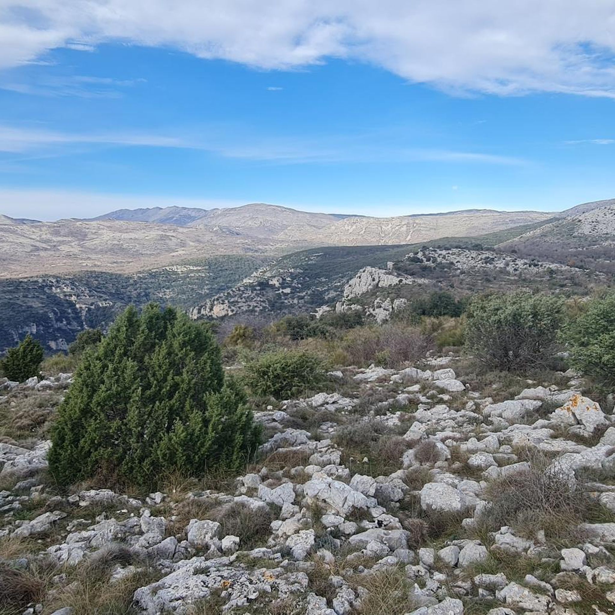
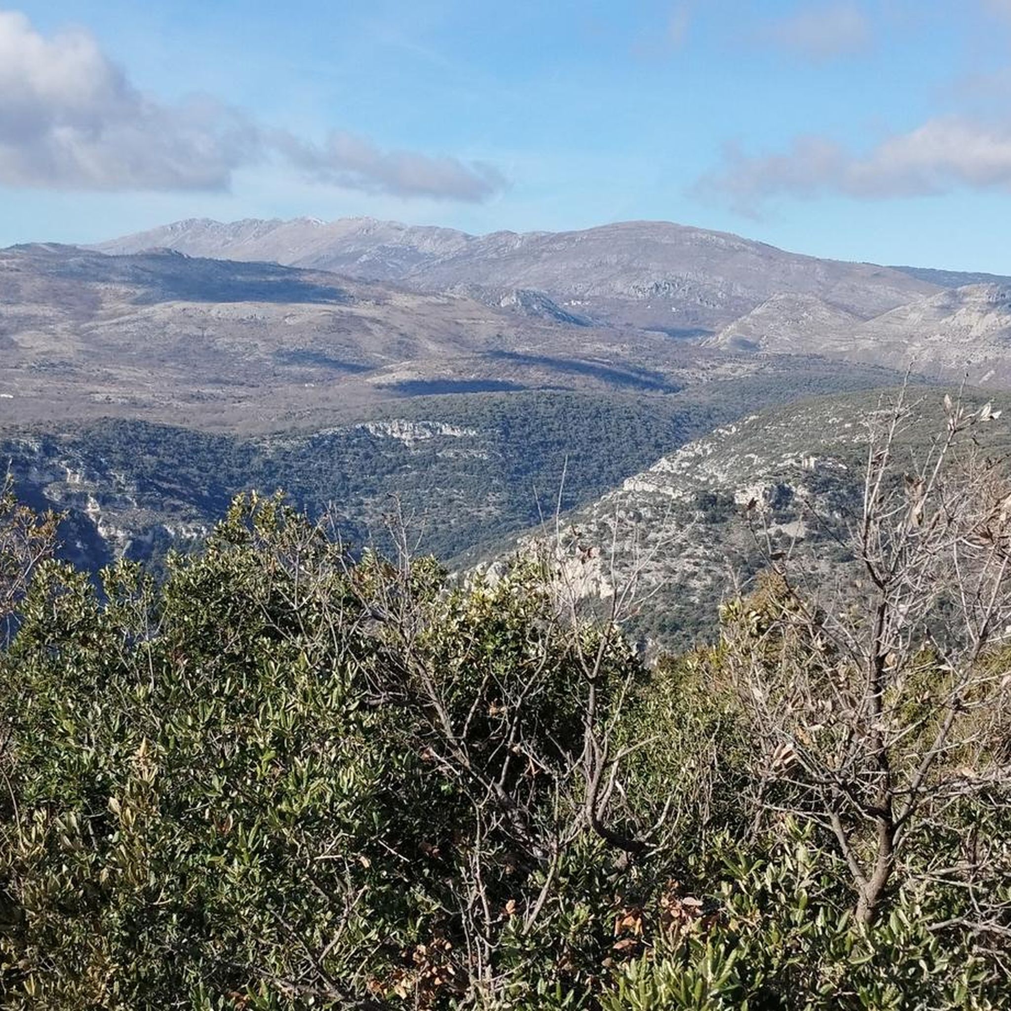
Best mountain passes around Saint-Jeannet are found in the Alpes-Maritimes region of France, characterized by prominent limestone peaks known as "Baous." These elevated areas offer opportunities for hiking and provide expansive views of the surrounding landscape. The region features karst landscapes and diverse flora, with trails that serve as access points to natural features and panoramic vistas.
Best mountain passes around Saint-Jeannet
- The most popular mountain passes is Col de Vence, a mountain pass known for its approximately 10…
Last updated: June 26, 2026
Col de Vence
Highlight • Mountain Pass
Translated by Google •
Tip by

Fort du Mont Chauve d'Aspremont
Highlight • Historical Site
Translated by Google •
Tip by

Sign up now to discover places like this
Get recommendations on the best single tracks, peaks, & plenty of other exciting outdoor places.
Sign up for free
Ferres Pass
Highlight • Mountain Pass
Translated by Google •
Tip by

Ascent of the Col de Vence from La Colle-sur-Loup
Highlight (Segment) • Climb
Translated by Google •
Tip by

Col de Vence halfway
Highlight • Mountain Pass
Translated by Google •
Tip by
Sign up for free to discover even more mountain passes around Saint-Jeannet.
Sign up for free
Already have an account?
Start today with a free account
Your next adventure awaits.
Login or Signup
Other adventures around Saint-Jeannet

Tips from the Community

Often used during the Paris-Nice route, the Col de Vence is well-known in the region. From La Colle-sur-Loup, the climb is nearly 17 kilometers long with an average gradient of 5.3%. The first five kilometers are not very steep, then the slope rises while remaining relatively steady.
0
0

Climb about 10 km long with always easy slopes. At the top excellent panorama.
19
0
The climb is about 10 km long but with always easy gradients.
17
0

From here, after a short walk, there is a wonderful view of the Mediterranean
2
0

An unmissable pass in the region: the road is beautiful, winding, the percentages remain reasonable (stronger at the beginning than at the end of the pass), the views during the ascent and at the summit are splendid. Be careful, there is very little shade for shelter in the summer. And in winter, there can be snow at the summit (1,000 meters above sea level). It can be surprising when you arrive from the coast. Road traffic can be heavy there, especially on weekends.
4
1

Fantastic view over Nice - great one-way-road
0
0

The ascent to Mont Chauve is entirely paved, even if the asphalt after the barrier is very damaged, and allows you to reach this panoramic panettone above Nice, enjoying a 360° view. We talked about it here https://outdoortest.it/riviera-gravel-due-percorsi-gravel-a-picco-sul-mare-della-costa-azzurra/
1
0

As soon as you leave the M14 turning right for the Mont Chauve road, it takes a little over 7km of ascent over 540m positive; to reach the fort.
0
0
Frequently Asked Questions
What are the most scenic viewpoints among the elevated routes near Saint-Jeannet?
The elevated routes around Saint-Jeannet consistently deliver stunning, expansive views. The summit of the Baou de Saint-Jeannet offers a spectacular 360-degree panorama of the Côte d'Azur, the Var valley, the Nice hinterland, the Mediterranean Sea, and even the peaks of the Mercantour National Park. Similarly, the Fort du Mont Chauve d'Aspremont provides extensive views over Nice, the Mediterranean Sea, and the lower Alps. From the Baou de la Gaude, you can enjoy exceptional views of the coastline from Cap Ferrat to Cap d'Antibes, as well as the hinterland.
Are there any historical sites to explore on these mountain passes?
Yes, the region offers historical elements. The Fort du Mont Chauve d'Aspremont is a significant historical site and viewpoint, featuring fortifications that once dominated the port and city of Nice. Additionally, on the plateau of the Baou de Saint-Jeannet, you can discover dry stone shelters, and the Notre-Dame des Baous Chapel, dating from the 17th century, is located nearby.
What kind of natural features can I expect to see on the trails around Saint-Jeannet?
The elevated routes around Saint-Jeannet are characterized by unique karst landscapes and heathland flora. You'll encounter limestone massifs, diverse plant life, and geological formations typical of karstic terrain, especially around the Baou de Saint-Jeannet and Plan des Noves.
What outdoor activities can I do near the mountain passes of Saint-Jeannet?
Beyond hiking, the area around Saint-Jeannet offers diverse outdoor activities. For road cycling enthusiasts, there are routes like the challenging "Col des Ferres - Cheiron directed biological reserve" or the moderate "Start of the Col de Vence climb – View of Saint-Paul-de-Vence loop from Vence." You can find more details on these routes in the Road Cycling Routes around Saint-Jeannet guide. For mountain biking, trails like "Le Broc – Carros-Village loop from La Gaude" are available, detailed in the MTB Trails around Saint-Jeannet guide.
Are there any challenging climbs for experienced cyclists or hikers?
Absolutely. The Col de Vence is a well-known challenge, featuring an approximately 10 km climb with consistent slopes. Another notable ascent is the Ferres Pass, which extends over 14.2 kilometers with an average slope of around 4%, including steeper sections. For hikers, the trails up the Baou de Saint-Jeannet and Baou de la Gaude offer moderate to challenging options, with significant elevation gains.
What is the best time of year to visit Saint-Jeannet for hiking?
The region is generally pleasant for hiking for much of the year. However, be aware that in summer, there can be very little shade on some routes like the Col de Vence. In winter, snow can occur at higher elevations, such as the summit of Col de Vence (1,000 meters above sea level), which can be surprising if you're coming from the coast. Spring and autumn generally offer milder temperatures and comfortable conditions for exploring.
Are there family-friendly hiking options around Saint-Jeannet?
While many trails offer diverse terrain, the hike to the top of the Baou de Saint-Jeannet is considered moderate and can be a rewarding experience for families with some hiking experience. It's a 7.61 km loop with an elevation gain of 410 meters, taking approximately 2 hours and 39 minutes. Always consider the fitness level of all family members before embarking on a trail.
What do visitors enjoy most about the mountain passes and elevated routes in Saint-Jeannet?
Visitors consistently praise the stunning, expansive panoramic views of the French Riviera, the coastline, and the mountainous hinterland. The diverse trails, ranging from moderate to challenging, cater to various fitness levels, attracting both hikers and climbers. The unique karst landscapes, diverse flora, and historical elements like dry stone shelters also contribute to a highly appreciated natural beauty. The accessibility of many routes from the village of Saint-Jeannet is also a significant plus.
How accessible are these elevated routes from the village of Saint-Jeannet?
Many of the elevated routes and trails, particularly those leading to the Baou de Saint-Jeannet, are easily accessible directly from the village of Saint-Jeannet. This makes it convenient for visitors to start their adventures without extensive travel to trailheads.
Are there any specific running trails near the mountain passes?
Yes, there are several running trails in the vicinity. For example, you can find a "Viewpoint in Saint-Jeannet loop from Saint-Jeannet" or a "Baou de Saint-Jeannet loop from Saint-Jeannet." These trails offer varying distances and difficulties. More options are available in the Running Trails around Saint-Jeannet guide.
What is the typical terrain like on the elevated routes?
The terrain on the elevated routes around Saint-Jeannet is primarily characterized by limestone massifs and karst landscapes. You can expect rocky paths, some steep sections, and areas with heathland flora. Trails often feature dry stone terraces, especially around the Baou de la Gaude, offering varied and interesting ground underfoot.
Most popular routes around Saint-Jeannet
Most popular attractions around Saint-Jeannet

Get inspired with the komoot mobile app


Explore more
See even more epic mountain passes by checking out these guides around Saint-Jeannet:
