The best MTB trails around Gattières
4.1
(339)
2,838
riders
168
rides
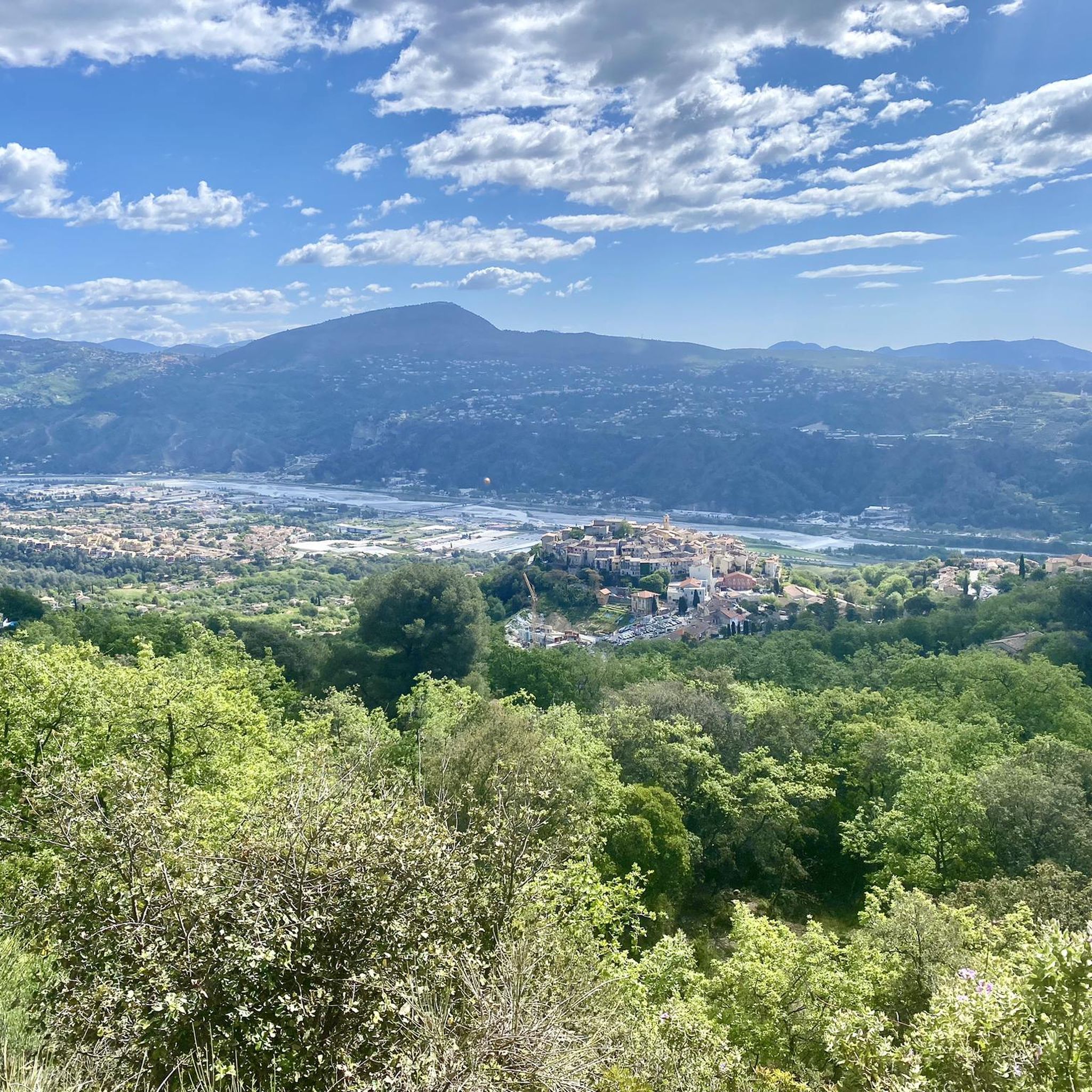
Mountain biking around Gattières offers diverse terrain in the Alpes-Maritimes region of France. The area features sloping woodlands of oak and pine, providing varied experiences from shaded forest trails to open sections. Gattières overlooks the Var plain, suggesting routes with significant elevation changes and panoramic views. This geographical position "between sea and mountains" allows for a range of mountain bike trails.
Best mountain bike trails around Gattières
- The most popular mountain bike trail is Le Broc – Baou de St-Jeannet…
Last updated: May 17, 2026
3.7
(6)
34
riders
56.6km
06:12
1,840m
1,840m
Hard mountain bike ride. Very good fitness required. Advanced riding skills necessary. Some portions of the route may require you to push your bike.
4.3
(4)
24
riders
31.5km
03:19
1,020m
1,020m
Hard mountain bike ride. Very good fitness required. Advanced riding skills necessary. Some portions of the route may require you to push your bike.

Sign up for free
5.0
(2)
16
riders
50.9km
02:47
140m
140m
Moderate mountain bike ride. Good fitness required. Suitable for all skill levels.
14
riders
42.4km
04:22
1,330m
1,330m
Hard mountain bike ride. Very good fitness required. Advanced riding skills necessary.
5.0
(1)
11
riders
21.9km
03:08
1,080m
1,080m
Hard mountain bike ride. Very good fitness required. Advanced riding skills necessary. Some portions of the route may require you to push your bike.
Get access to more routes and recommendations from other explorers.
Sign up for free
Already have an account?
Our route recommendations are based on thousands of hikes, rides, and runs completed by other people on komoot.
Start today with a free account
Your next adventure awaits.
Login or Signup
Other adventures around Gattières

Tips from the Community

at the edge of the forest, in a bend, an ideal spot for a picnic before tackling the descent.
0
0

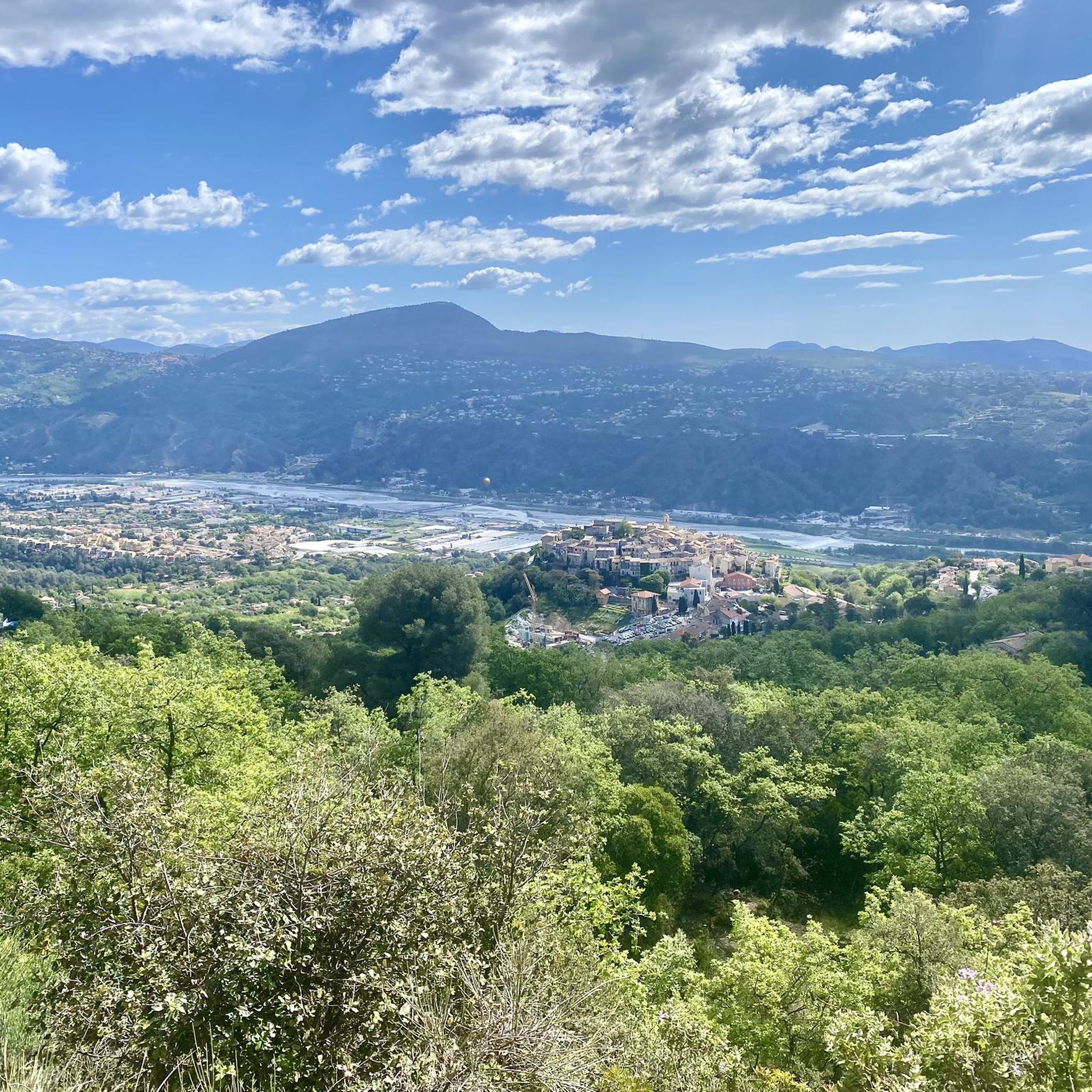
Access to the Village via a long and quiet climb with a super panorama over the Var Valley...
0
0

Historically, this port was the largest fishing port in the Alpes-Maritimes in the 1920s and 1930s, and it still maintains a professional fishing industry today. Cros-de-Cagnes is known for its fishing village and maritime traditions. You can even find a Cros de Cagnes Fishermen's Market located on Rue du Capitaine de Frégate Vial, where you can buy fresh fish and seafood directly from local fishermen. This market is generally open from Tuesday to Sunday mornings. There are also initiatives to preserve maritime heritage, such as the restoration of the Sainte-Thérèse lobster boat, a traditional fishing boat. For those interested in learning how to fish or taking a sea trip, there are opportunities for boat trips or fishing trips, particularly from nearby Saint-Laurent-du-Var.
0
0

This beach offers a beautiful view of the Bay of Angels and the marinas of Villeneuve-Loubet.
2
0

Climb about 10 km long with always easy slopes. At the top excellent panorama.
19
0
The climb is about 10 km long but with always easy gradients.
17
0
At the top of this climb you can admire the coast.
16
0

Perched at an altitude of 480 meters, the Notre-Dame des Baous Chapel dates from the 17th century. It offers a breathtaking view of the Var valley and the Mediterranean. A must-see site before or after a hike, just a few steps from Saint-Jeannet!
0
0
Frequently Asked Questions
How many mountain bike trails are available around Gattières?
There are over 160 mountain bike trails around Gattières, offering a wide range of options for different skill levels. This includes 12 easy routes, 67 moderate routes, and 90 difficult routes, ensuring there's something for every mountain biker.
What kind of terrain can I expect on mountain bike trails near Gattières?
The terrain around Gattières is highly varied, characterized by sloping woodlands of downy or holm oak, hornbeam, and Aleppo pine. You'll find everything from shaded forest paths to more open, technical sections. The region's position overlooking the Var plain also means significant elevation changes, offering both challenging climbs and exhilarating descents.
Are there any family-friendly mountain bike trails in Gattières?
Yes, Gattières offers 12 easy mountain bike routes suitable for families or those looking for a more relaxed ride. These trails typically feature less challenging terrain and elevation, allowing for an enjoyable experience for all skill levels.
Are there any circular mountain bike routes around Gattières?
Many of the mountain bike routes around Gattières are circular. For example, the moderate Carros Village – Gattière loop from Gattières is a popular choice, offering a mix of terrain and views over the Var plain. Another challenging option is the Baou de St-Jeannet loop from Gattières.
What are some notable natural features or viewpoints along the mountain bike trails?
Gattières is situated to offer panoramic views over the Var plain. Many trails will provide stunning vistas. You might also encounter features like the Col de Vence, a mountain pass, or the wooded hillsides and terraced olive orchards that characterize the region. The broader Alpes-Maritimes area is known for its diverse natural beauty.
What do other mountain bikers enjoy most about Gattières?
The mountain biking experience in Gattières is highly rated by the komoot community, with an average score of 4.16 stars from over 400 reviews. Riders often praise the diverse terrain, the stunning views over the Var plain, and the variety of routes available for different skill levels, from moderate loops to challenging mountain ascents.
Are there any trails suitable for advanced mountain bikers seeking a challenge?
Absolutely. Gattières and the surrounding Alpes-Maritimes region are well-suited for advanced riders. There are 90 difficult routes, many featuring significant elevation changes and technical elements. A challenging option is the Le Broc – Baou de St-Jeannet loop from La Bédoule, which covers 56.2 km with substantial elevation gain.
What is the best time of year for mountain biking in Gattières?
The region's character as 'between sea and mountains' generally allows for a long biking season. Spring and autumn typically offer pleasant temperatures and vibrant scenery. While specific seasonal conditions can vary, the mild Mediterranean climate often makes it possible to ride outside of peak summer heat or potential winter chill at higher elevations.
Are there any interesting landmarks or attractions near the mountain bike trails?
Yes, there are several interesting landmarks and natural attractions nearby. You could visit the Col de Vence, a notable mountain pass, or explore the charming Village of Saint-Jeannet. For a scenic stop, the Castle Waterfall is also within reach.
Is there parking available near the mountain bike trails in Gattières?
While specific parking details for every trailhead are not provided, Gattières is a village with amenities, and parking is generally available within or near the village center, providing access to the surrounding trail network. It's advisable to check local signage for designated parking areas.
Can I find cafes or places to eat near the mountain bike routes?
Gattières itself is a charming village with medieval streets and small squares, likely offering cafes and eateries where you can refuel after your ride. Many routes start or pass through areas where local amenities would be accessible, especially in or near the village centers.
What is the typical duration for mountain bike trails in this area?
Trail durations vary significantly based on difficulty and distance. For instance, a moderate route like the Carros Village – Gattière loop from Gattières can take around 1 hour 27 minutes for 20.5 km. More challenging routes, such as the 42.4 km Col de Vence – Col de Vence loop from Gattières, typically require about 4 hours 22 minutes.
Most popular routes around Gattières
Most popular attractions around Gattières

Get inspired with the komoot mobile app


Explore more
Browse the best MTB trails in other regions.
