The best walks and hikes around Gattières
4.5
(2076)
18,789
hikers
11
hikes
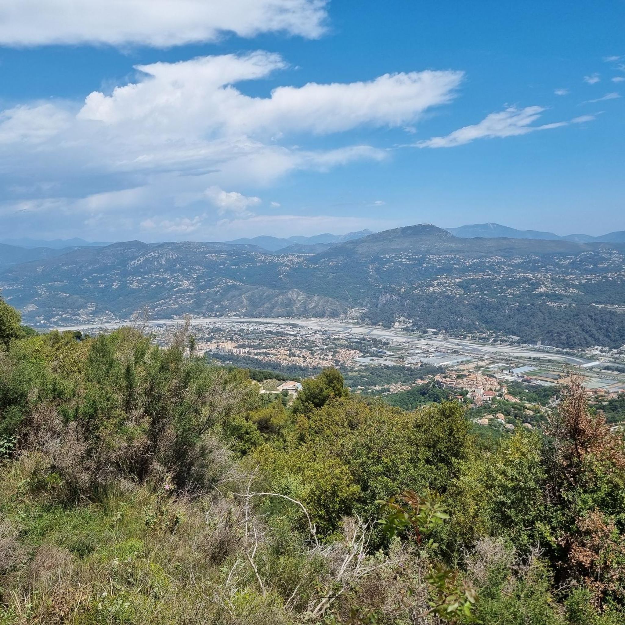
Hiking around Gattières offers diverse landscapes within the Préalpes d'Azur Regional Natural Park, characterized by cultivated valleys, dense forests, and dramatic "dizzying valleys." The village is situated beneath the Baous mountain range, providing elevated terrain and panoramic views over the Var river and its surrounding plains. This region features an extensive network of trails catering to various fitness levels, from gentle paths to more strenuous mountain routes.
Best hiking trails around Gattières
- The most popular hiking route is View from…
Last updated: September 1, 2026
4.4
(10)
48
hikers
8.08km
03:01
530m
530m
Moderate hike. Good fitness required. Easily-accessible paths. Suitable for all skill levels.
11
hikers
20.5km
06:57
1,000m
1,000m
Hard hike. Very good fitness required. Mostly accessible paths. Sure-footedness required.

Sign up for free
5.0
(1)
5
hikers
5.81km
01:44
180m
180m
Easy hike. Great for any fitness level. Easily-accessible paths. Suitable for all skill levels.
3.5
(2)
4
hikers
3.25km
01:07
160m
160m
Easy hike. Great for any fitness level. Easily-accessible paths. Suitable for all skill levels.
5
hikers
11.2km
03:52
610m
600m
Moderate hike. Good fitness required. Easily-accessible paths. Suitable for all skill levels.
Get access to more routes and recommendations from other explorers.
Sign up for free
Already have an account?
Our route recommendations are based on thousands of hikes, rides, and runs completed by other people on komoot.
Start today with a free account
Your next adventure awaits.
Login or Signup
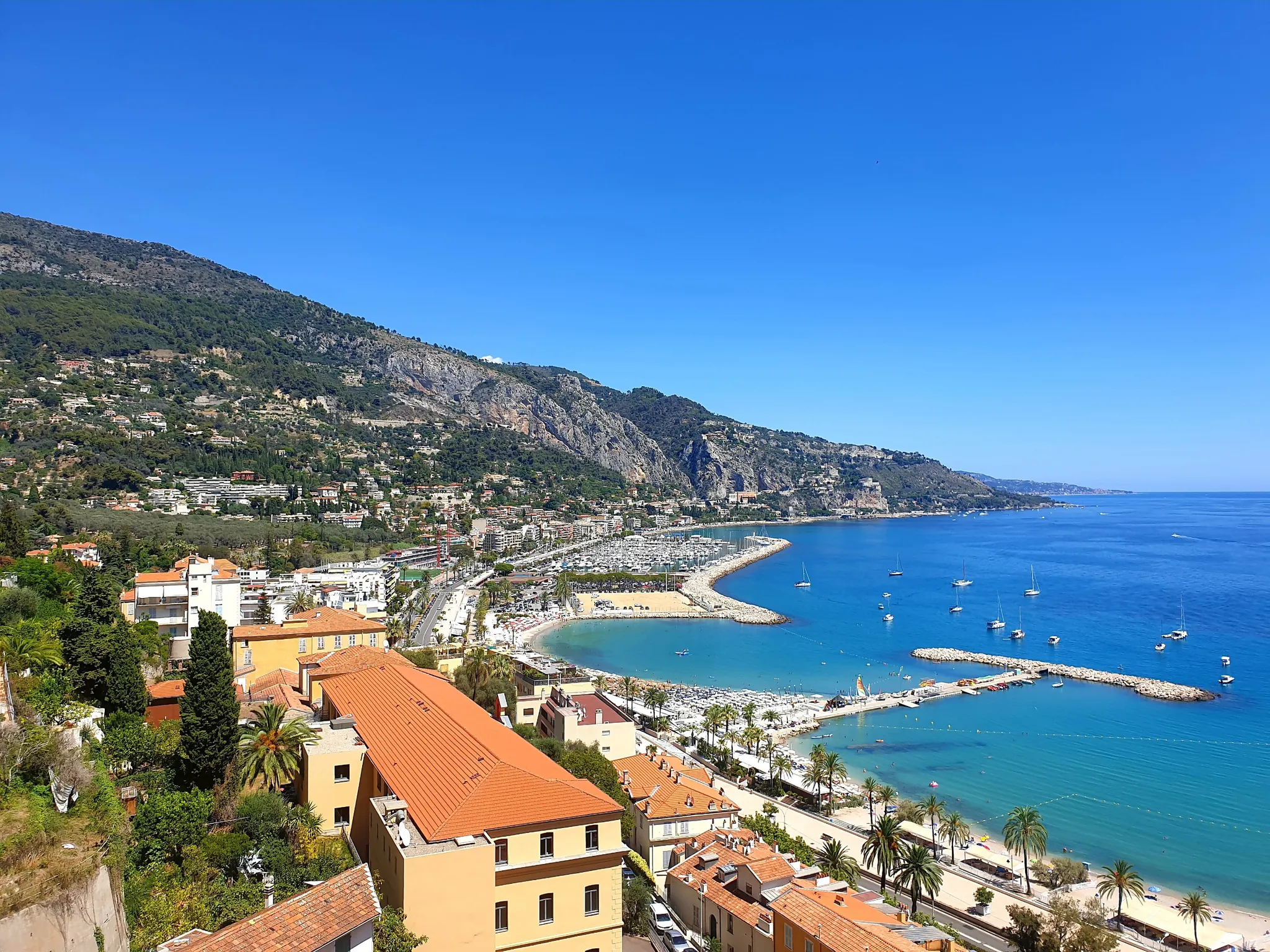
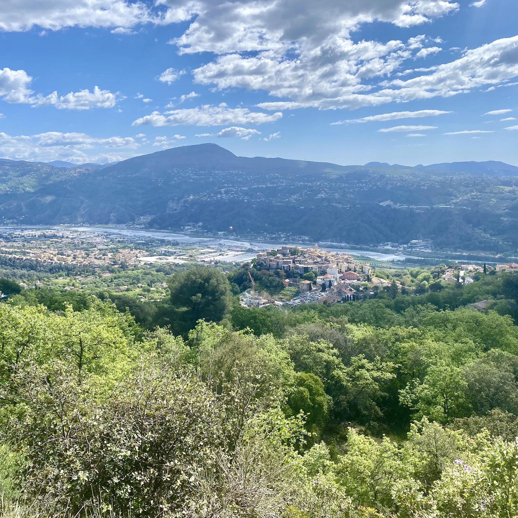
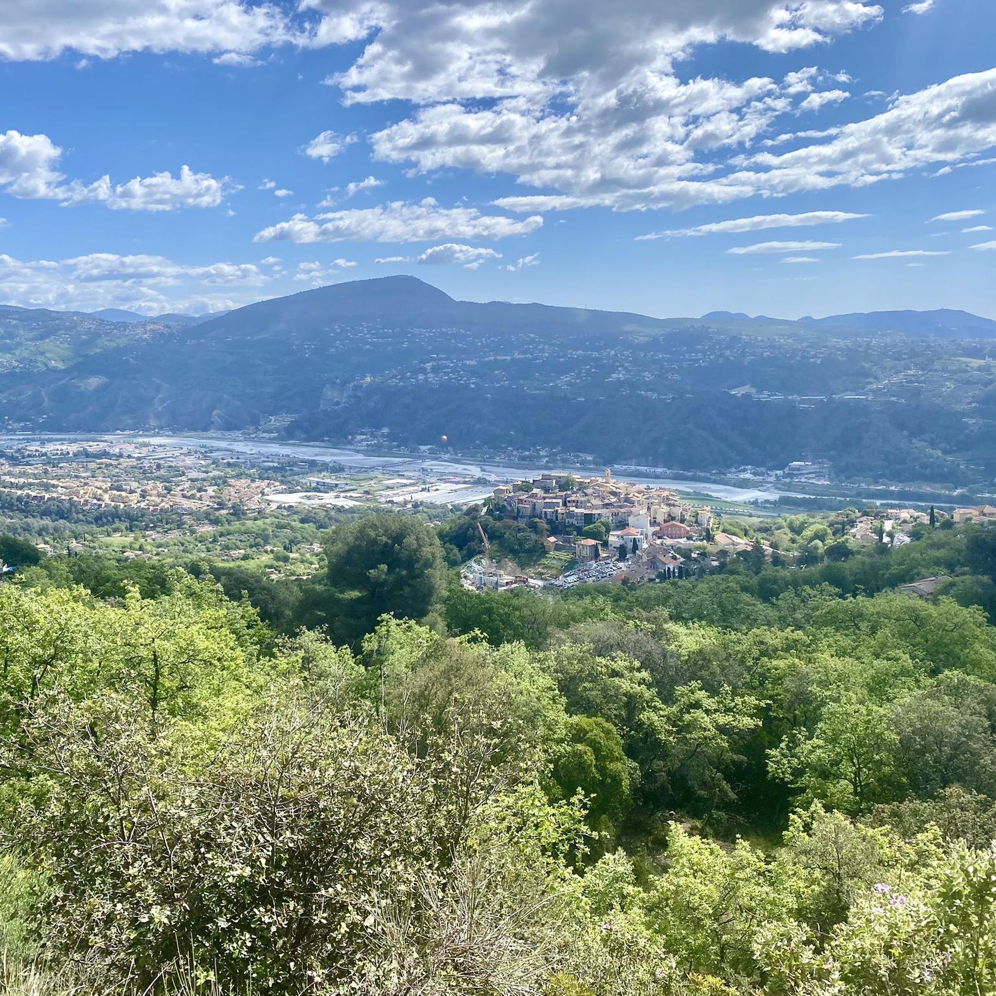
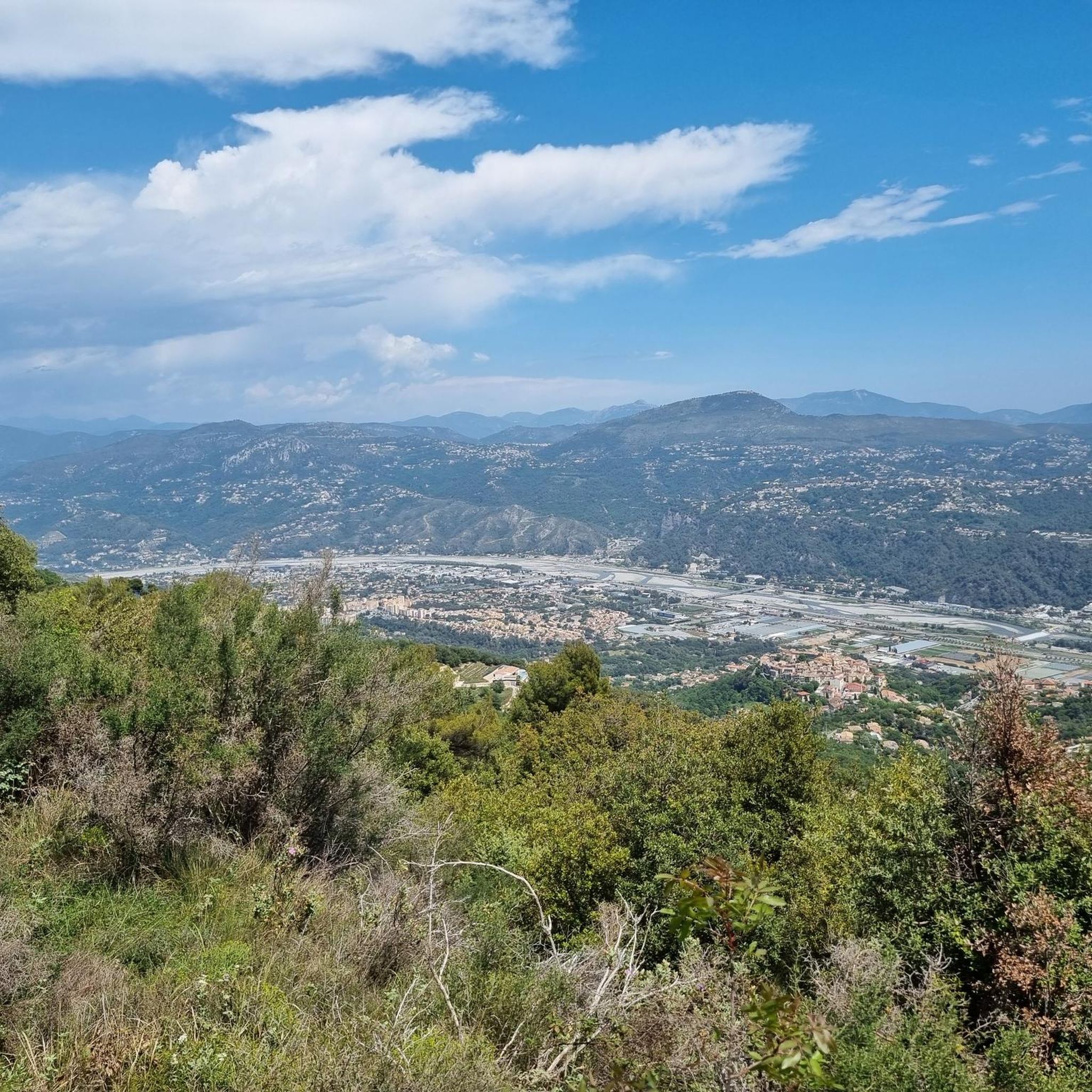
Other adventures around Gattières

Tips from the Community

Access to the Village via a long and quiet climb with a super panorama over the Var Valley...
0
0

You'll want to take a break from your run to take in the amazing views from the top of Baou de la Gaude, rivaled only by the views from the summit itself.
2
0


Gattières is a small town of 4,000 inhabitants built on a rocky outcrop. Typical village of Provence, its alleys conceal secrets and its belvederes great panoramas.
0
0
Saint-Jeannet is a village perched at the foot of the baou de Saint-Jeannet, a sumptuous rock mass culminating at 800 meters from sea level. Renowned for hikers and climbers, the baou dominates the Cagne valley where the ruins of an old fortified sheepfold like Le Castellet stand. The village has many shops.
2
0

Closing the tour of the Baou, by this beautiful village of Saint Jeannet, will be the ultimate reward of the day.
4
0

At the foot of the village hill there is a map from Fliess with sights such as the library. This is a great place to orientate yourself.
0
0

Frequently Asked Questions
How many hiking trails are available around Gattières?
Gattières offers a wide variety of hiking experiences, with over 350 routes available. These trails cater to all levels, from easy strolls to more challenging mountain treks, allowing you to explore the diverse landscapes of the Préalpes d'Azur Regional Natural Park.
Are there easy hiking options for beginners or casual walkers in Gattières?
Yes, Gattières has plenty of easy hiking options. There are over 140 routes classified as easy, perfect for beginners or those looking for a relaxed walk. These trails often traverse cultivated valleys and offer gentle paths through the scenic surroundings.
Can I find circular hiking routes in Gattières?
Many trails in Gattières are designed as circular routes, allowing you to start and end in the same location. For example, the Hiking loop from Carros is a moderate 9.6 km circular path that offers a great way to experience the local scenery.
What kind of natural features or landmarks can I expect to see on hikes around Gattières?
The region around Gattières is rich in natural beauty and interesting landmarks. You can discover dramatic 'dizzying valleys,' dense forests, and the picturesque Var river. Notable attractions include the Castle Waterfall and various mountain passes and peaks like Col de Vence, offering stunning views.
Are there any specific trails that offer panoramic views?
Absolutely. Many trails in Gattières, especially those ascending the Baous mountain range, provide breathtaking 360-degree views. You can often see the coastline, the surrounding mountains, and even the Mercantour peaks. The Baou de la Gaude loop from Carros is known for its scenic vistas over the Var river valley.
Is Gattières a good destination for dog-friendly walks?
While specific dog-friendly regulations can vary by trail, the extensive network of paths through forests and open clearings in the Préalpes d'Azur generally offers many opportunities for walks with dogs. It's always recommended to keep dogs on a leash and respect local signage.
What is the best time of year to go hiking in Gattières?
Gattières is enjoyable for hiking throughout much of the year. Spring and autumn offer pleasant temperatures and vibrant landscapes. Summer can be warm, so early morning or late afternoon hikes are recommended. Even winter can be suitable for lower-elevation trails, though higher routes might require more preparation.
Are there options for longer, more challenging hikes in Gattières?
Yes, for experienced trekkers, Gattières offers challenging routes. There are 44 difficult trails, some with significant elevation changes. The Gattière – Carros Village loop from Gattières is a demanding 19.8 km trail, often taking nearly 7 hours to complete, leading through villages and valleys.
How can I get to the hiking trails around Gattières using public transport?
Gattières is part of the Alpes-Maritimes department, and local bus services connect the village to nearby towns. While direct access to every trailhead via public transport might be limited, you can often reach the village center or key starting points by bus. It's advisable to check local bus schedules for specific routes and timings.
Where can I find parking for hiking trails in Gattières?
Parking is generally available in and around the village of Gattières, as well as at common starting points for popular trails. Many routes, especially those that begin from villages like Gattières or Carros, will have designated parking areas nearby. Look for local signs indicating public parking.
What do other hikers say about their experience in Gattières?
The hiking experience in Gattières is highly rated by the komoot community, with an average score of 4.5 stars from over 1,800 reviews. Hikers often praise the diverse landscapes, the stunning panoramic views, and the well-maintained network of trails that cater to various fitness levels.
Are there any historical or cultural routes in the Gattières area?
Beyond natural beauty, Gattières is also part of historical pilgrimage routes, including a path of the Way of St. James (Chemin de St-Jacques de Compostelle). These routes offer a unique blend of natural scenery and cultural heritage, allowing hikers to explore the region's past.
Can I combine hiking with other outdoor activities in Gattières?
Absolutely. Gattières is a comprehensive hub for nature-based activities. In addition to hiking, the Préalpes d'Azur and the hinterland of Nice offer opportunities for paragliding, horse riding, climbing, and even watersports like kayaking and paddleboarding on the Var river.
Most popular routes around Gattières
Most popular attractions around Gattières

Get inspired with the komoot mobile app


Explore more
Browse the best Hikes in other regions.
