The best running trails around Pechbonnieu
3.9
(5)
672
runners
30
runs
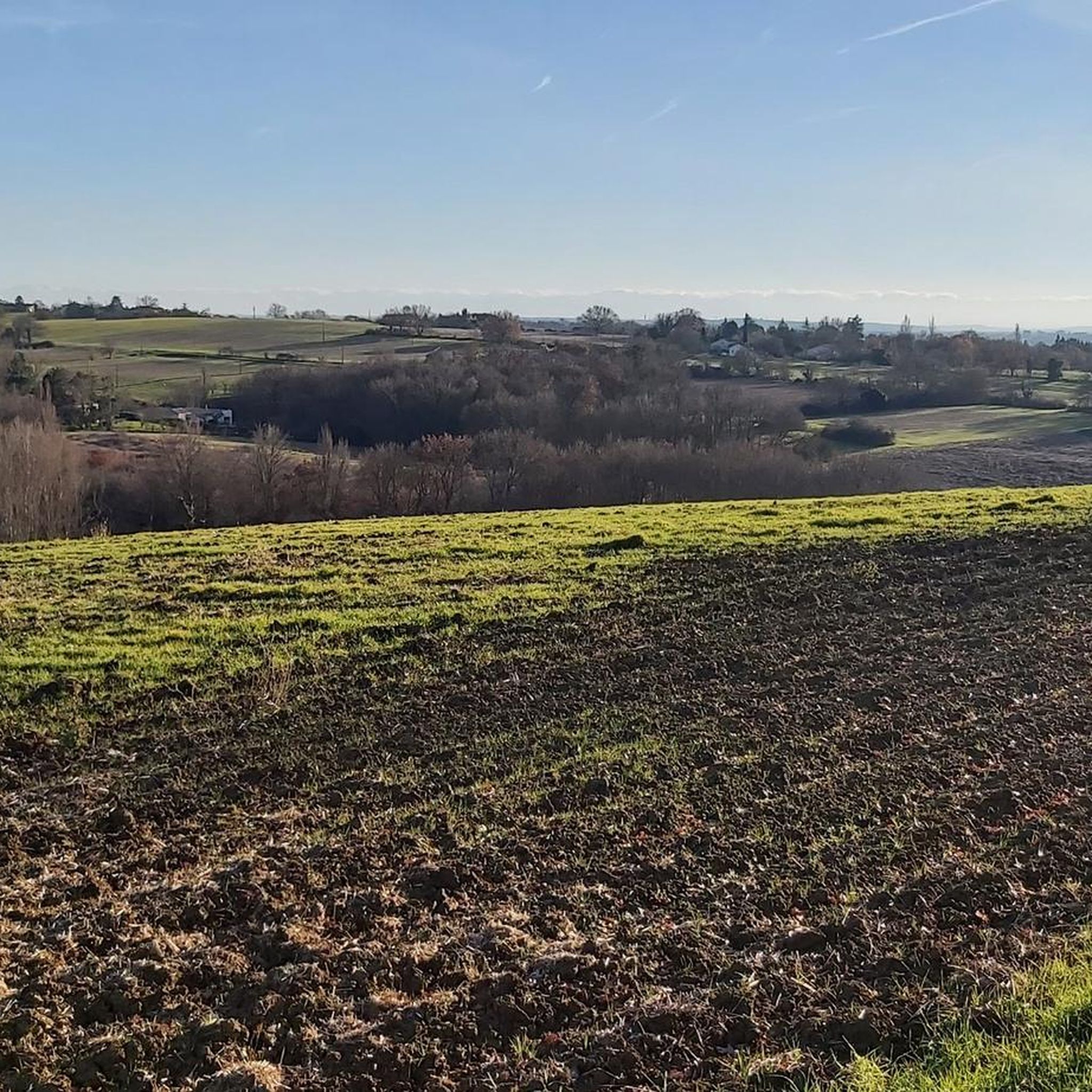
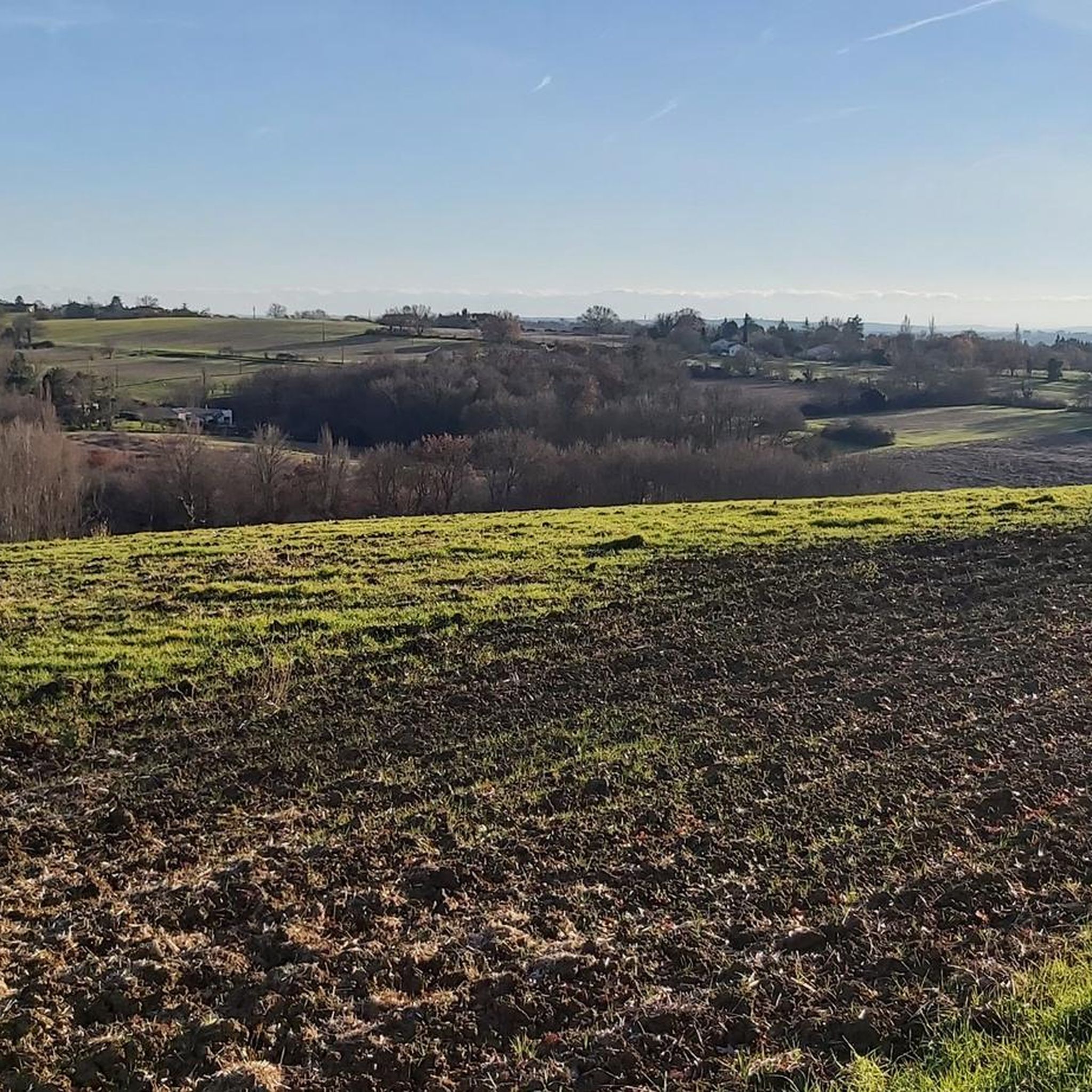
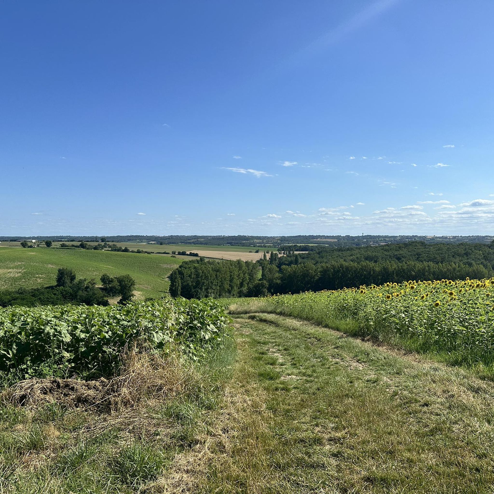
Jogging routes around Pechbonnieu traverse an undulating landscape, characterized by preserved green spaces. The region features an expansive communal forest, offering shaded paths and varied surfaces for running. This area, part of the "coteaux Bellevue" territory, provides a tranquil setting for outdoor activities, integrating an urban framework with a preserved natural environment.
Best jogging routes around Pechbonnieu
- The most popular jogging route is Peak loop from Routget, a 4.5 miles (7.3 km) trail that takes 50 minutes to complete.…
Last updated: May 14, 2026
23
runners
5.41km
00:34
30m
30m
Moderate run. Good fitness required. Mostly paved surfaces. Suitable for all skill levels.
33
runners
15.2km
01:36
110m
110m
Hard run. Very good fitness required. Mostly paved surfaces. Suitable for all skill levels.

Sign up for free
23
runners
14.2km
01:31
110m
110m
Moderate run. Good fitness required. Mostly paved surfaces. Suitable for all skill levels.
12
runners
9.54km
01:00
70m
70m
Moderate run. Good fitness required. Mostly paved surfaces. Suitable for all skill levels.
8
runners
5.72km
00:36
40m
50m
Moderate run. Good fitness required. Mostly paved surfaces. Suitable for all skill levels.
Get access to more routes and recommendations from other explorers.
Sign up for free
Already have an account?
Our route recommendations are based on thousands of hikes, rides, and runs completed by other people on komoot.
Start today with a free account
Your next adventure awaits.
Login or Signup
Tips from the Community

Dirt road. Definitely muddy in rainy weather.
0
0

Dirt road with large holes. we saw the feeling of being on a roller coaster.
0
0
Frequently Asked Questions
How many running routes are available in Pechbonnieu?
Pechbonnieu offers a diverse selection of over 25 running routes. These trails cater to various fitness levels, ranging from easy strolls to more challenging long-distance runs.
What kind of terrain can I expect on the jogging trails around Pechbonnieu?
The jogging trails in Pechbonnieu feature varied terrain, often traversing the expansive Pechbonnieu communal forest with shaded paths. You'll encounter both paved sections and natural trails, characteristic of the undulating "coteaux Bellevue" landscape. Some routes, like the "Circuit du Trail des Coteaux", might be muddy in winter, so appropriate footwear is recommended.
Are there easy running routes suitable for beginners or families in Pechbonnieu?
Yes, Pechbonnieu has routes suitable for beginners and families. While most routes are moderate, there is at least one easy route available. The Running loop from Goujounats is a moderate 6.2 km option that could be a good starting point, offering a manageable distance and elevation.
Can I find challenging long-distance runs in the Pechbonnieu area?
Absolutely. For those seeking a more demanding experience, Pechbonnieu offers several difficult long-distance routes. The Down – Peak loop from Pechbonnieu is a challenging 30.1 km trail, and the Chemin des Mottes loop from Pechbonnieu is another difficult option spanning 15.3 km, exploring the local countryside.
Are the running routes in Pechbonnieu suitable for dogs?
While specific regulations for dogs on every trail are not detailed, the Pechbonnieu communal forest and its well-maintained paths are generally welcoming to outdoor activities. It's always advisable to keep dogs on a leash, especially given the potential for local wildlife such as deer and wild boars in the forest.
What natural features or landmarks can I see while jogging in Pechbonnieu?
Jogging in Pechbonnieu allows you to experience the preserved natural environment, particularly the 25-hectare Pechbonnieu communal forest. This expansive woodland offers shaded green spaces and an educational trail. You might spot local wildlife like deer, wild boars, and various birds. While Pechbonnieu focuses on its green spaces, nearby Toulouse offers attractions like the Canal du Midi or the Saint-Sernin Basilica.
Are there circular running routes available in Pechbonnieu?
Yes, many of the running routes in Pechbonnieu are designed as loops, offering convenient circular experiences. Examples include the popular Peak loop from Routget (7.3 km) and the Peak loop from Pechbonnieu (14.2 km), allowing you to start and finish at the same point.
Is there parking available near the jogging trails in Pechbonnieu?
The municipality of Pechbonnieu emphasizes accessibility to its green spaces. While specific parking locations for every trail are not listed, it's generally possible to find parking near trailheads, especially those starting directly from Pechbonnieu or within the communal forest area, which is designed for public access.
What do other runners say about the trails in Pechbonnieu?
The running routes in Pechbonnieu are highly rated by the komoot community, with an average score of 4.1 stars from over 5 reviews. Runners often praise the varied terrain, the tranquil setting of the communal forest, and the options available for different ability levels, from moderate loops to more difficult long-distance runs.
When is the best time of year to go running in Pechbonnieu?
Pechbonnieu offers a pleasant environment for running throughout much of the year. The shaded paths of the communal forest are particularly appealing during warmer months. However, if you plan to run during winter, be aware that some natural trails, like the "Circuit du Trail des Coteaux", can become muddy, so appropriate footwear is recommended.
Are there any running routes that offer panoramic views?
Yes, some trails in the vicinity of Pechbonnieu, particularly those near neighboring communes like Launaguet and Montberon, are known to offer magnificent panoramas. On clear days, these routes can provide views stretching towards Toulouse and even the distant Pyrénées, adding a scenic reward to your run.
Most popular routes around Pechbonnieu
Most popular attractions around Pechbonnieu

Get inspired with the komoot mobile app


Explore more
Browse the best Running Trails & Routes in other regions.
