The best walks and hikes around Pechbonnieu
4.4
(247)
2,011
hikers
108
hikes
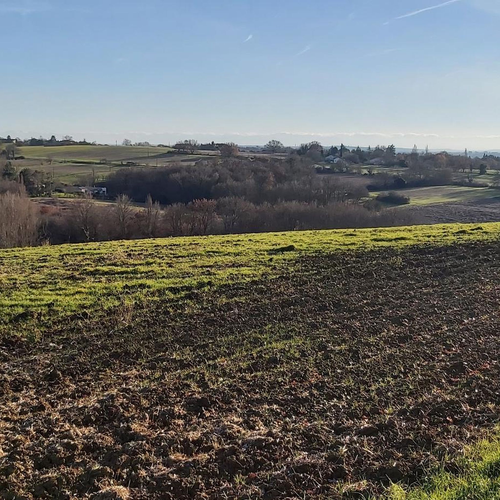
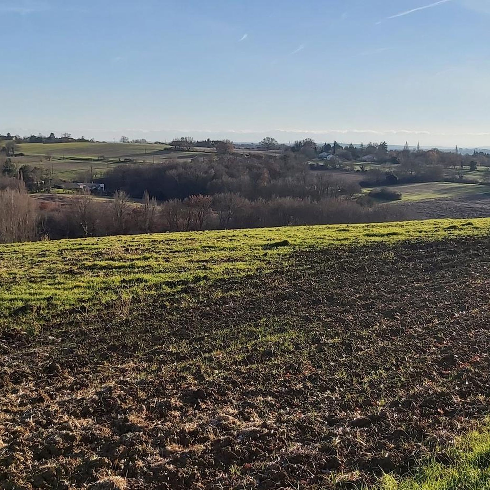
Hiking around Pechbonnieu offers access to the gentle rolling landscapes of the Occitanie region. The area is characterized by agricultural fields, small woodlands, and quiet country paths, providing a tranquil setting for outdoor activities. Elevation changes are generally modest, making many routes accessible. The terrain primarily consists of well-maintained trails suitable for walking and exploring the local countryside.
Best hiking trails around Pechbonnieu
- The most popular hiking route is Hiking loop from Gratentour, a 5.4 miles (8.7 km) trail…
Last updated: May 12, 2026
4.0
(6)
33
hikers
8.69km
02:18
90m
90m
Moderate hike. Good fitness required. Easily-accessible paths. Suitable for all skill levels.
5.0
(3)
26
hikers
9.85km
02:35
90m
90m
Moderate hike. Good fitness required. Easily-accessible paths. Suitable for all skill levels.

Sign up for free
4.5
(2)
13
hikers
5.03km
01:20
40m
50m
Easy hike. Great for any fitness level. Easily-accessible paths. Suitable for all skill levels.
5.0
(4)
21
hikers
9.03km
02:27
130m
130m
Moderate hike. Good fitness required. Easily-accessible paths. Suitable for all skill levels.
4.0
(1)
3
hikers
10.4km
02:49
140m
140m
Moderate hike. Good fitness required. Easily-accessible paths. Suitable for all skill levels.
Get access to more routes and recommendations from other explorers.
Sign up for free
Already have an account?
Our route recommendations are based on thousands of hikes, rides, and runs completed by other people on komoot.
Start today with a free account
Your next adventure awaits.
Login or Signup

Tips from the Community

Very pleasant and accessible circuit with beautiful viewpoints. The time indicated is generous.
0
0

Beautiful by day and at dusk
0
0
Frequently Asked Questions
How many hiking trails are available in Pechbonnieu?
Pechbonnieu offers a wide selection of hiking opportunities, with over 100 routes recorded on komoot. This includes 54 easy trails, 49 moderate routes, and a few more challenging options for experienced hikers.
Are there easy hiking trails suitable for beginners or families in Pechbonnieu?
Yes, Pechbonnieu is well-suited for beginners and families. Over half of the routes, 54 to be exact, are classified as easy. These trails typically feature modest elevation changes and well-maintained paths through agricultural fields and small woodlands. A good example is the Château de Saint-Geniès loop from Saint-Geniès-Bellevue, an easy 3.1-mile (5.0 km) path.
Can I find circular walks in Pechbonnieu?
Many of the hiking routes around Pechbonnieu are designed as loops, allowing you to start and finish at the same point. For instance, the popular Hiking loop from Gratentour is a 5.4-mile (8.7 km) circular trail that takes about 2 hours 18 minutes to complete.
What kind of terrain and landscapes can I expect on hikes in Pechbonnieu?
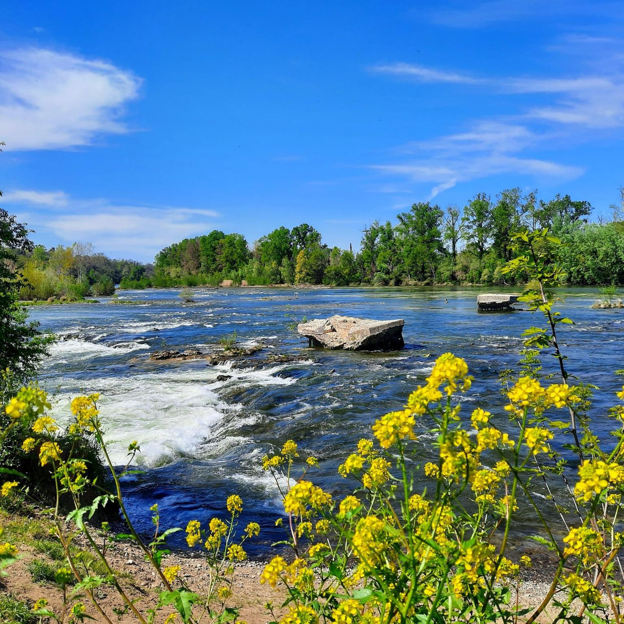
The region around Pechbonnieu is characterized by gentle rolling agricultural land, interspersed with small woodlands and quiet river valleys. You'll primarily walk on well-maintained country paths, offering a tranquil setting with modest elevation changes. It's a landscape that provides a peaceful escape into the Occitanie countryside.
Are dogs allowed on the hiking trails in Pechbonnieu?
Generally, dogs are welcome on the hiking trails in Pechbonnieu. However, as many routes pass through agricultural areas, it's always advisable to keep your dog on a leash, especially near livestock or private property, and to clean up after them.
What are some interesting landmarks or attractions to see near the hiking trails?
While hiking around Pechbonnieu, you can encounter various points of interest. The Château de Saint-Geniès loop from Saint-Geniès-Bellevue passes by the historic Château de Saint-Geniès. For those willing to venture slightly further, notable attractions include the Saint-Sernin Basilica in Toulouse, the Gagnac-sur-Garonne Footbridge, and sections of the famous Canal du Midi.
What is the best season for hiking in Pechbonnieu?
The gentle climate of the Occitanie region makes hiking enjoyable for much of the year. Spring and autumn offer pleasant temperatures and vibrant scenery, with blooming wildflowers or colorful foliage. Summer can be warm, so early morning or late afternoon hikes are recommended. Winter hikes are also possible, as heavy snow is rare, but trails can be muddy after rain.
Are there any less crowded trails for a more peaceful hiking experience?
Given the extensive network of trails through agricultural land and small woodlands, many routes in Pechbonnieu offer a peaceful experience away from crowds. While specific 'less crowded' routes aren't highlighted, exploring any of the numerous local loops, such as the Hiking loop from Launaguet, will generally provide a tranquil walk.
How long do hikes near Pechbonnieu typically take?
Hike durations vary depending on the route and your pace. Easy trails like the Château de Saint-Geniès loop can be completed in under 1.5 hours. Moderate routes, such as the Hiking loop from Castelginest (6.1 miles / 9.8 km), typically take around 2 hours 35 minutes.
What do other hikers enjoy most about hiking in Pechbonnieu?
The hiking routes in Pechbonnieu are highly rated by the komoot community, with an average score of 4.4 stars from over 200 reviews. Hikers often praise the tranquil atmosphere, the well-maintained paths through varied countryside, and the accessibility of routes for different fitness levels. The blend of agricultural landscapes and small woodlands provides a refreshing outdoor experience.
Is parking available at the trailheads in Pechbonnieu?
While specific parking information for every trailhead isn't always available, most villages and starting points for hikes in rural areas like Pechbonnieu offer public parking options. It's advisable to check local maps or komoot tour details for designated parking areas near your chosen starting point.
Most popular routes around Pechbonnieu
Most popular attractions around Pechbonnieu

Get inspired with the komoot mobile app


Explore more
Browse the best Hikes in other regions.
