The best running trails around Hauterive-La-Fresse
3.8
(27)
2,507
runners
99
runs
Jogging routes around Hauterive-La-Fresse traverse a landscape characterized by rolling hills and forested areas, offering varied terrain for runners. The region features a mix of open fields and woodland paths, providing a natural setting for outdoor activity. Elevation changes are generally moderate, making many routes accessible while still offering a good workout.
Best jogging routes around Hauterive-La-Fresse
- The most popular jogging route is Running loop from Hauterive-la-Fresse, a 6.1 miles (9.8 km) trail that takes 1 hour 10 minutes…
Last updated: July 7, 2026
3.0
(1)
15
runners
9.76km
01:11
210m
210m
Moderate run. Good fitness required. Mostly paved surfaces. Suitable for all skill levels.
8
runners
6.33km
00:44
150m
150m
Moderate run. Good fitness required. Mostly paved surfaces. Suitable for all skill levels.

Sign up for free
5
runners
8.64km
00:57
100m
100m
Moderate run. Good fitness required. Mostly paved surfaces. Suitable for all skill levels.
4
runners
15.2km
01:40
220m
220m
Hard run. Very good fitness required. Mostly paved surfaces. Suitable for all skill levels.
5
runners
15.1km
01:47
350m
350m
Hard run. Very good fitness required. Mostly paved surfaces. Suitable for all skill levels.
Get access to more routes and recommendations from other explorers.
Sign up for free
Already have an account?
Our route recommendations are based on thousands of hikes, rides, and runs completed by other people on komoot.
Start today with a free account
Your next adventure awaits.
Login or Signup
Tips from the Community

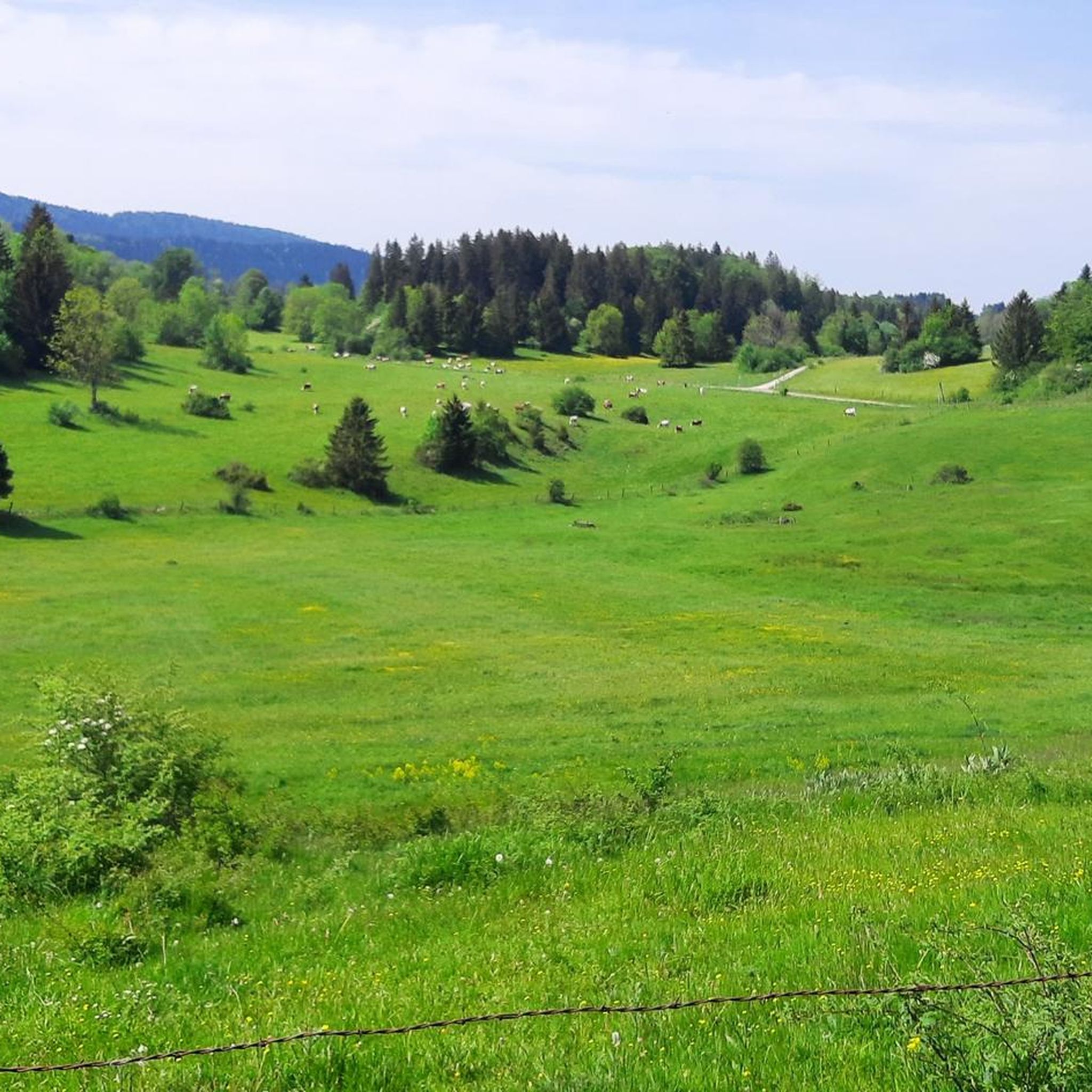
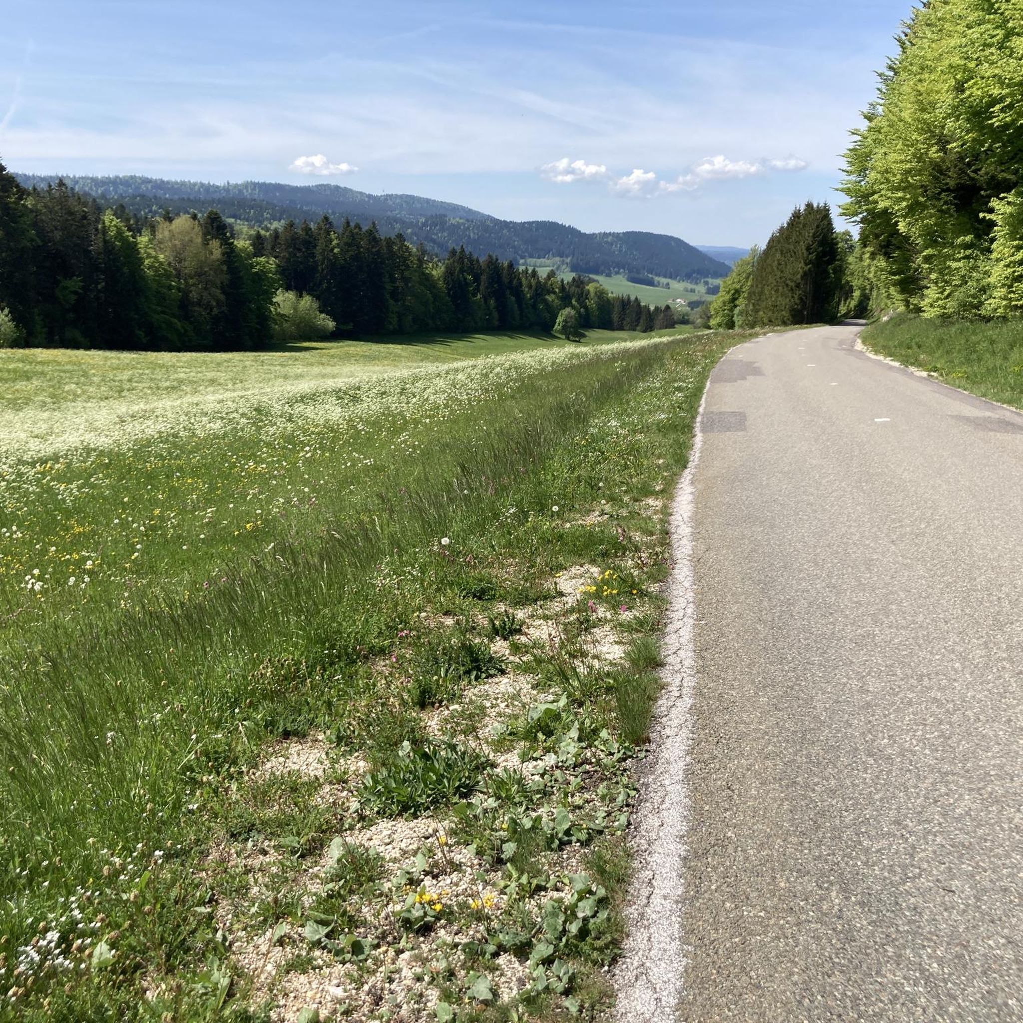
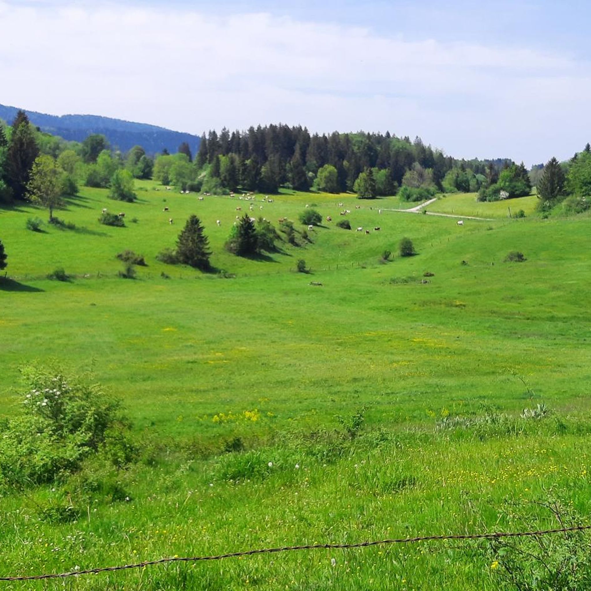
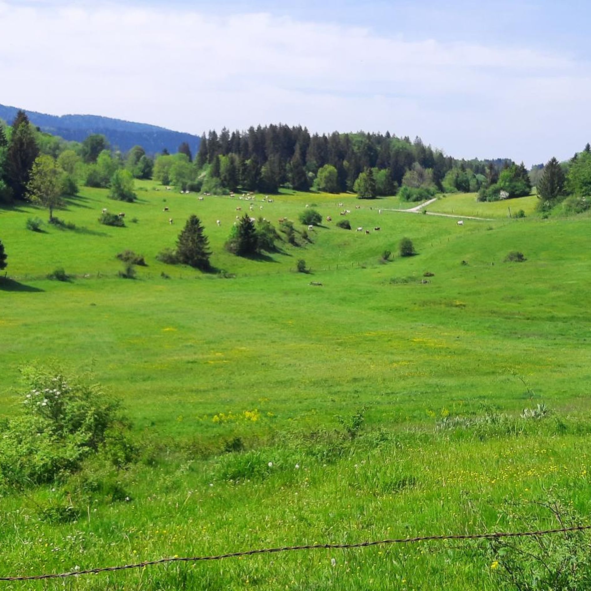
Beautiful greenway on the old railway line in the heart of the natural environment of Haut-Doubs. The views overlooking the Doubs valley are magnificent.
1
0
Frequently Asked Questions
How many running routes are available in Hauterive-La-Fresse?
There are over 100 running routes recorded in the Hauterive-La-Fresse region on komoot, offering a wide variety of options for all skill levels.
Are there easy jogging routes suitable for beginners in Hauterive-La-Fresse?
Yes, Hauterive-La-Fresse offers several easy jogging routes perfect for beginners or those looking for a relaxed run. These routes typically feature gentler terrain and less elevation gain. You can find 3 easy routes, alongside 80 moderate and 19 difficult options.
What kind of terrain can I expect on the jogging trails around Hauterive-La-Fresse?
The jogging routes in Hauterive-La-Fresse traverse a diverse landscape of rolling hills and forested areas. You'll find a mix of open fields and woodland paths, providing a natural and varied setting for your run. Elevation changes are generally moderate, making many routes accessible while still offering a good workout.
Are there any scenic running routes with viewpoints in the area?
Absolutely! The region's rolling hills and forests often provide scenic vistas. For a route that includes a notable viewpoint, consider the Bois de la Côte Viewpoint loop from Maisons-du-Bois-Lièvremont, which offers beautiful perspectives of the surrounding landscape.
What are some interesting natural attractions or landmarks I can see near the running routes?
While running in Hauterive-La-Fresse, you might be close to several natural highlights. Notable attractions include the fascinating Glacière de Monlési Ice Cave, the impressive Mont Châteleu, and the serene Source of the Areuse. These offer great points of interest to explore before or after your run.
Are the running routes in Hauterive-La-Fresse suitable for families?
Many of the easier and moderate routes in Hauterive-La-Fresse are suitable for families, especially those with older children who enjoy outdoor activities. The varied terrain and natural settings provide an engaging experience. Look for routes with lower elevation gains and shorter distances for a more family-friendly outing.
Can I bring my dog on the jogging trails in Hauterive-La-Fresse?
Generally, dogs are welcome on many of the outdoor trails in Hauterive-La-Fresse, especially in forested and open country areas. However, it's always recommended to keep your dog on a leash and be mindful of local regulations, especially in nature reserves or agricultural lands. Always carry waste bags and ensure your dog is well-behaved around other trail users.
What is the best time of year to go jogging in Hauterive-La-Fresse?
The spring, summer, and early autumn months (April to October) are generally the most pleasant for jogging in Hauterive-La-Fresse. During these seasons, the weather is milder, and the natural scenery is at its most vibrant. Winter jogging is possible, but be prepared for colder temperatures and potentially snowy or icy conditions, especially on higher elevation trails.
Are there any long-distance or challenging running routes for experienced runners?
Yes, for experienced runners seeking a challenge, Hauterive-La-Fresse offers several difficult routes. For example, the Forêt du CHG de Pontarlier loop from Maisons-du-Bois-Lièvremont is a demanding 15.1 km trail with over 340 meters of elevation gain, providing a significant workout.
What do other runners say about the jogging experience in Hauterive-La-Fresse?
The running routes in Hauterive-La-Fresse are highly rated by the komoot community, with an average score of around 3.5 stars from over 10 reviews. Runners often praise the quiet woodlands, the varied terrain, and the natural beauty of the region, making it a popular choice for outdoor activity.
Are the jogging routes typically circular, or are there point-to-point options?
Many of the popular jogging routes in Hauterive-La-Fresse, including top favorites like Running loop from Hauterive-la-Fresse and Running loop from Pays-de-Montbenoît, are designed as circular paths. This allows for convenient starting and ending points, often returning you to your original location without needing additional transport.
Where can I find parking for the running trails?
While specific parking details vary by route, many trailheads in Hauterive-La-Fresse, especially those starting from villages like Hauterive-la-Fresse, Pays-de-Montbenoît, or Maisons-du-Bois-Lièvremont, typically offer designated parking areas or roadside parking options. It's advisable to check the route details on komoot for specific parking recommendations for your chosen trail.
Most popular routes around Hauterive-La-Fresse
Most popular attractions around Hauterive-La-Fresse

Get inspired with the komoot mobile app


Explore more
Browse the best Running Trails & Routes in other regions.
