The best road cycling routes around Hauterive-La-Fresse
4.5
(166)
4,649
riders
73
rides
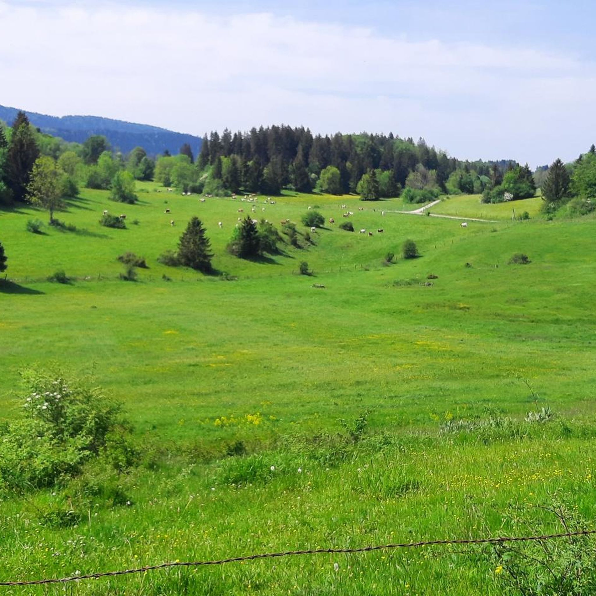
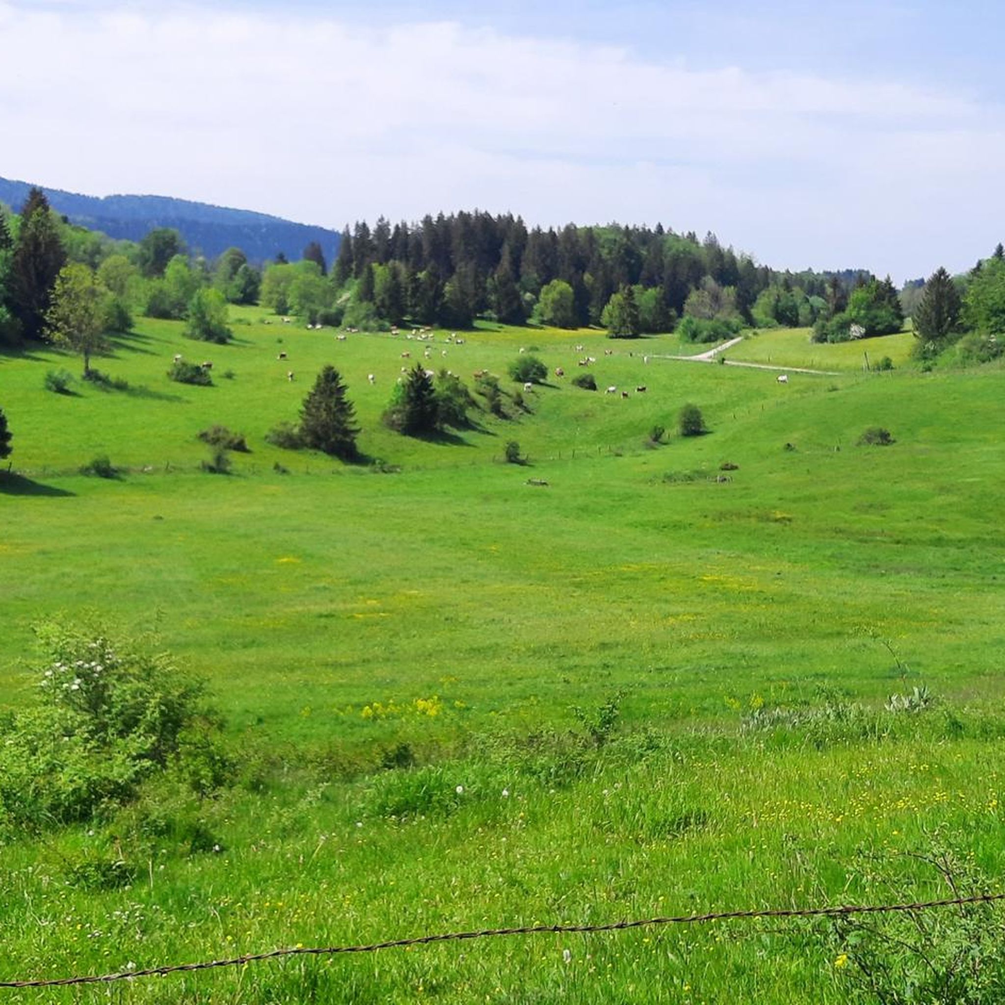
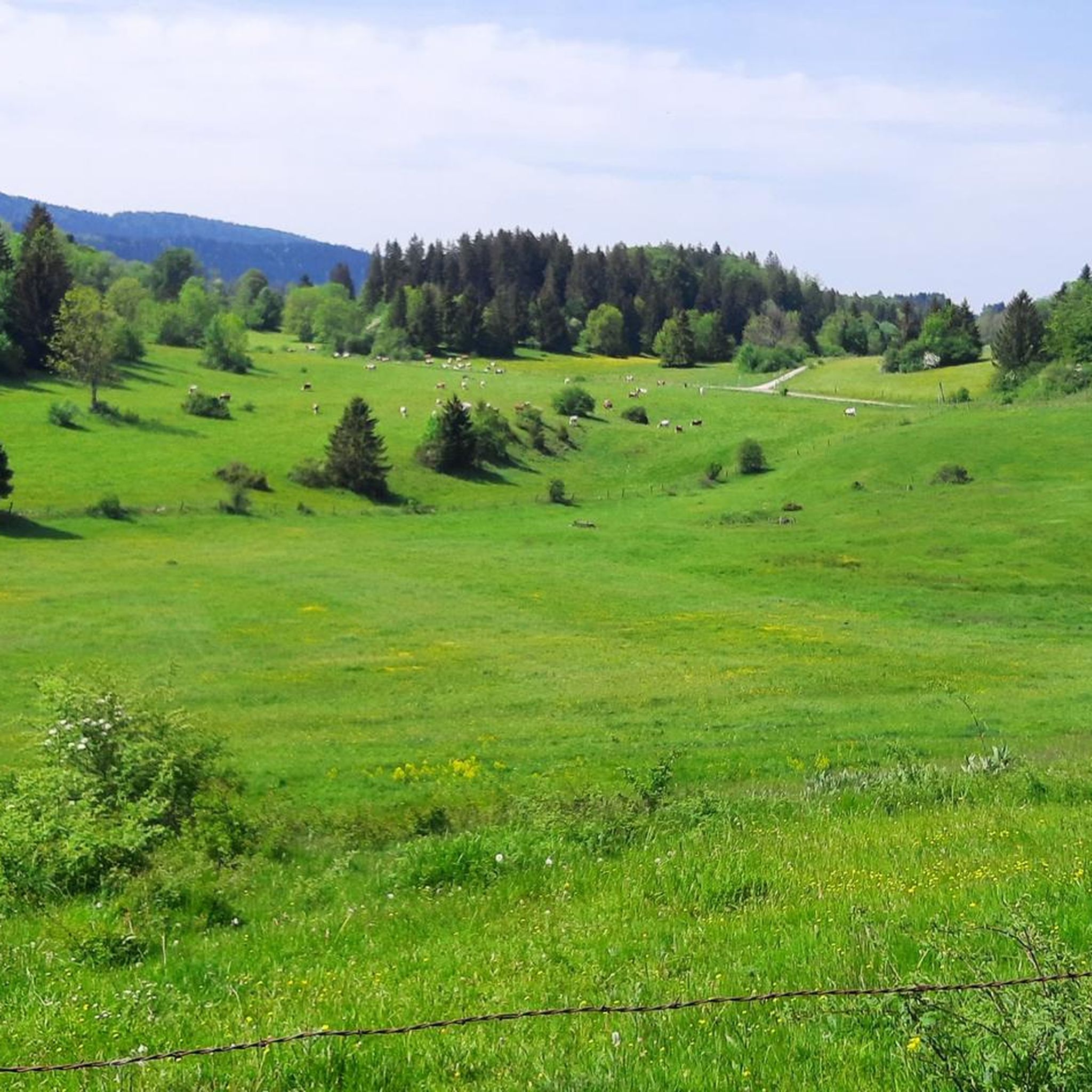
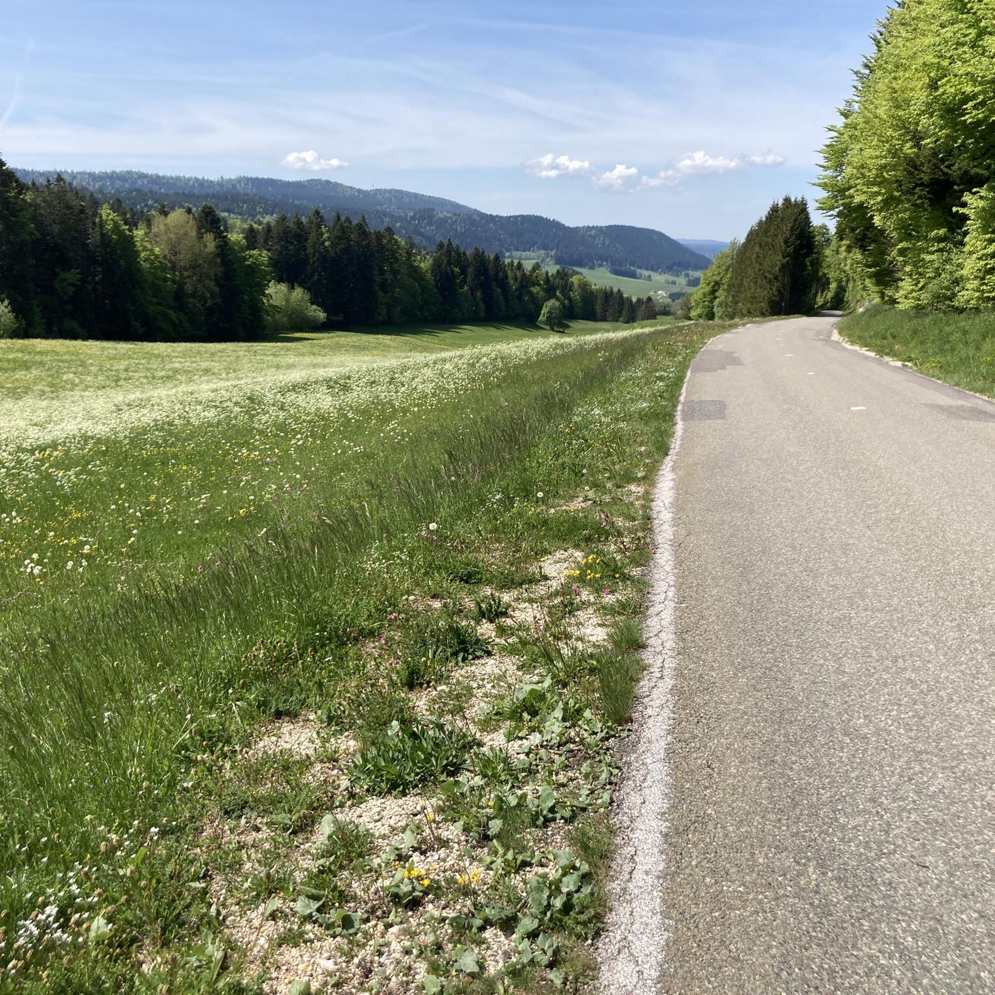
Road cycling routes around Hauterive-La-Fresse traverse a landscape characterized by the foothills of the Jura mountains, offering a mix of rolling hills, river valleys, and forested sections. The region features varied terrain, from routes following old railway lines to climbs towards cols, providing diverse experiences for road cyclists. The area's elevation changes are generally moderate, with some routes featuring more significant ascents.
Best road cycling routes around Hauterive-La-Fresse
- The most popular road cycling route is Chemin du Train – Chemin du Train near Doubs loop from Montbenoît, a 21.3 miles (34.3 km) trail that takes about 1 hour 33 minutes to complete. This route follows a former railway line, offering a relatively consistent gradient.
- Another top favourite among local road cyclists is Chemin du Train near Doubs – Source of the Loue loop from Pays-de-Montbenoît, a moderate 38.5 miles (61.9 km) path. This route combines sections along the Chemin du Train with exploration towards the Source of the Loue, featuring varied scenery.
- Local road cyclists also love the Chemin du Train – Chemin du Train near Doubs loop from Maisons-du-Bois-Lièvremont, a 19.6 miles (31.6 km) trail leading through the Doubs river valley, often completed in about 2 hours 12 minutes.
- Road cycling around Hauterive-La-Fresse is defined by routes along river valleys, through dense woodlands, and over moderate hills. The network offers options for different ability levels, from easier rides to more challenging ascents.
- The routes in Hauterive-La-Fresse are highly rated by the komoot community with an average score of 4.6 stars from over 140 reviews. More than 4000 road cyclists have used komoot to explore Hauterive-La-Fresse's varied terrain.
Last updated: July 8, 2026
5.0
(3)
98
riders
34.5km
01:34
380m
380m
Moderate road ride. Good fitness required. Mostly well-paved surfaces and easy to ride.
18
riders
Moderate road ride. Good fitness required. Mostly well-paved surfaces and easy to ride.

Sign up for free
20
riders
Moderate road ride. Good fitness required. Mostly well-paved surfaces and easy to ride.
5.0
(1)
17
riders
Moderate road ride. Good fitness required. Mostly well-paved surfaces and easy to ride.
19
riders
48.2km
01:59
300m
300m
Moderate road ride. Good fitness required. Mostly well-paved surfaces and easy to ride.
Get access to more routes and recommendations from other explorers.
Sign up for free
Already have an account?
Our route recommendations are based on thousands of hikes, rides, and runs completed by other people on komoot.
Start today with a free account
Your next adventure awaits.
Login or Signup
Tips from the Community

Typo? Needs to be corrected... right?
0
0

Beautiful greenway on the old railway line in the heart of the natural environment of Haut-Doubs. The views overlooking the Doubs valley are magnificent.
1
0

It's just a lot of fun
0
0
The route length is also great
0
0
When you are slowly losing your strength, such a path is wonderful. And when you still have strength, even more so
0
0
It is great to drive here
0
0
Highly recommended, as there is no car traffic
0
0

Beautiful cycle path with beautiful views!
0
0
Frequently Asked Questions
What kind of terrain can I expect on road cycling routes around Hauterive-La-Fresse?
The region around Hauterive-La-Fresse is characterized by the foothills of the Jura mountains. You'll find a mix of rolling hills, river valleys, and forested sections. Routes vary from those following old railway lines, offering consistent gradients, to climbs towards cols with more significant ascents. The elevation changes are generally moderate, providing diverse experiences for road cyclists.
How many road cycling routes are available in the Hauterive-La-Fresse area?
There are over 75 road cycling routes available around Hauterive-La-Fresse, catering to various skill levels. This includes 3 easy routes, 44 moderate routes, and 30 difficult routes, ensuring options for every cyclist.
Are there any easy or beginner-friendly road cycling routes in Hauterive-La-Fresse?
Yes, there are several easier routes. For instance, the Chemin du Train – Chemin du Train near Doubs loop from Montbenoît is a moderate 34.3 km route that follows a former railway line, offering a relatively consistent gradient suitable for those looking for a less strenuous ride.
What are some challenging road cycling routes for experienced riders?
For experienced riders seeking a challenge, routes like the Col du Châteleu (1,200 m) – Nice view of the valley loop from Maisons-du-Bois-Lièvremont offer significant climbs with over 1100 meters of elevation gain over 57.5 km, providing a demanding and rewarding experience.
Are there any road cycling routes that feature scenic viewpoints or natural attractions?
Many routes offer scenic views of the Jura foothills and river valleys. For natural attractions, you might find routes that pass near highlights such as the Mont Châteleu or the Source of the Areuse. The Chemin du Train near Doubs – Source of the Loue loop from Pays-de-Montbenoît combines sections along the Chemin du Train with exploration towards the Source of the Loue, featuring varied scenery.
What do other road cyclists say about the routes in Hauterive-La-Fresse?
The road cycling routes in Hauterive-La-Fresse are highly rated by the komoot community, with an average score of 4.6 stars from over 140 reviews. Cyclists often praise the varied terrain, from quiet river valleys to challenging climbs, and the well-maintained paths that make for an enjoyable ride.
Are there any loop trails for road cycling in Hauterive-La-Fresse?
Yes, many of the road cycling routes in the area are designed as loops. For example, the popular Chemin du Train – Chemin du Train near Doubs loop from Maisons-du-Bois-Lièvremont is a 31.6 km loop trail through the Doubs river valley, offering a convenient circular ride.
What is the typical duration for road cycling routes in this region?
The duration varies significantly depending on the route's distance and difficulty. Shorter, moderate routes like the Chemin du Train – Chemin du Train near Doubs loop from Montbenoît can take around 1 hour 30 minutes, while longer or more challenging routes, such as the Col du Tounet (965 m) – Col Tounet loop from Pays-de-Montbenoît, might take 2 hours or more.
Are there any specific landmarks or places to explore near the road cycling routes?
Beyond the natural beauty, you can explore cultural highlights such as the Saint-Bénigne Church or the town of Pontarlier, which are often accessible from various cycling routes. The La Brévine Weather Station is another interesting point of interest.
What is the best time of year for road cycling in Hauterive-La-Fresse?
The region is generally best for road cycling from late spring through early autumn (May to October). During these months, the weather is typically milder, and the roads are clear, offering ideal conditions to enjoy the varied landscapes and climbs.
Are there any routes that pass by cafes or places to stop for refreshments?
While specific cafe stops are not detailed for every route, the region's routes often connect villages and towns where you can find local establishments. Planning your route through larger settlements like Pontarlier or Pays-de-Montbenoît will increase your chances of finding refreshment stops.
Most popular routes around Hauterive-La-Fresse
Most popular attractions around Hauterive-La-Fresse

Get inspired with the komoot mobile app


Explore more
Browse the best Road cycling routes in other regions.
