The best walks and hikes around La Boissière-De-Montaigu
4.5
(847)
4,047
hikers
211
hikes
Hiking around La Boissière-De-Montaigu offers routes primarily centered around the Lac de la Bultière, providing varied lakeside paths. The terrain is generally gentle, with modest elevation gains, making it suitable for a range of abilities. The area features a network of trails that traverse the local countryside, often incorporating water features. These hiking routes in La Boissière-De-Montaigu provide opportunities to explore the region's natural and rural landscapes.
Best hiking trails around La Boissière-De-Montaigu
- The most popular hiking route is Lac…
Last updated: July 2, 2026
4.7
(9)
42
hikers
15.8km
04:07
110m
110m
Moderate hike. Good fitness required. Easily-accessible paths. Suitable for all skill levels.
4.9
(18)
80
hikers
5.19km
01:22
40m
40m
Easy hike. Great for any fitness level. Easily-accessible paths. Suitable for all skill levels.

Sign up for free
4.8
(36)
131
hikers
7.18km
01:51
40m
40m
Easy hike. Great for any fitness level. Easily-accessible paths. Suitable for all skill levels.
4.8
(62)
246
hikers
Moderate hike. Good fitness required. Easily-accessible paths. Suitable for all skill levels.
4.0
(1)
18
hikers
11.5km
03:02
100m
100m
Moderate hike. Good fitness required. Easily-accessible paths. Suitable for all skill levels.
Get access to more routes and recommendations from other explorers.
Sign up for free
Already have an account?
Our route recommendations are based on thousands of hikes, rides, and runs completed by other people on komoot.
Start today with a free account
Your next adventure awaits.
Login or Signup


Tips from the Community

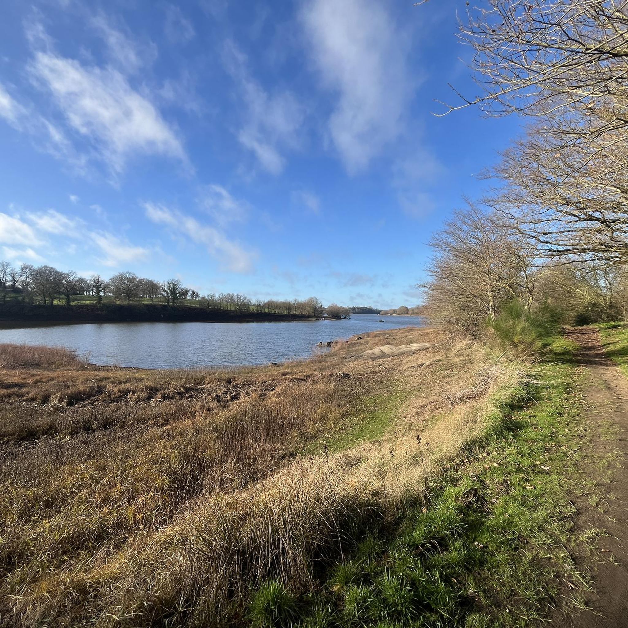
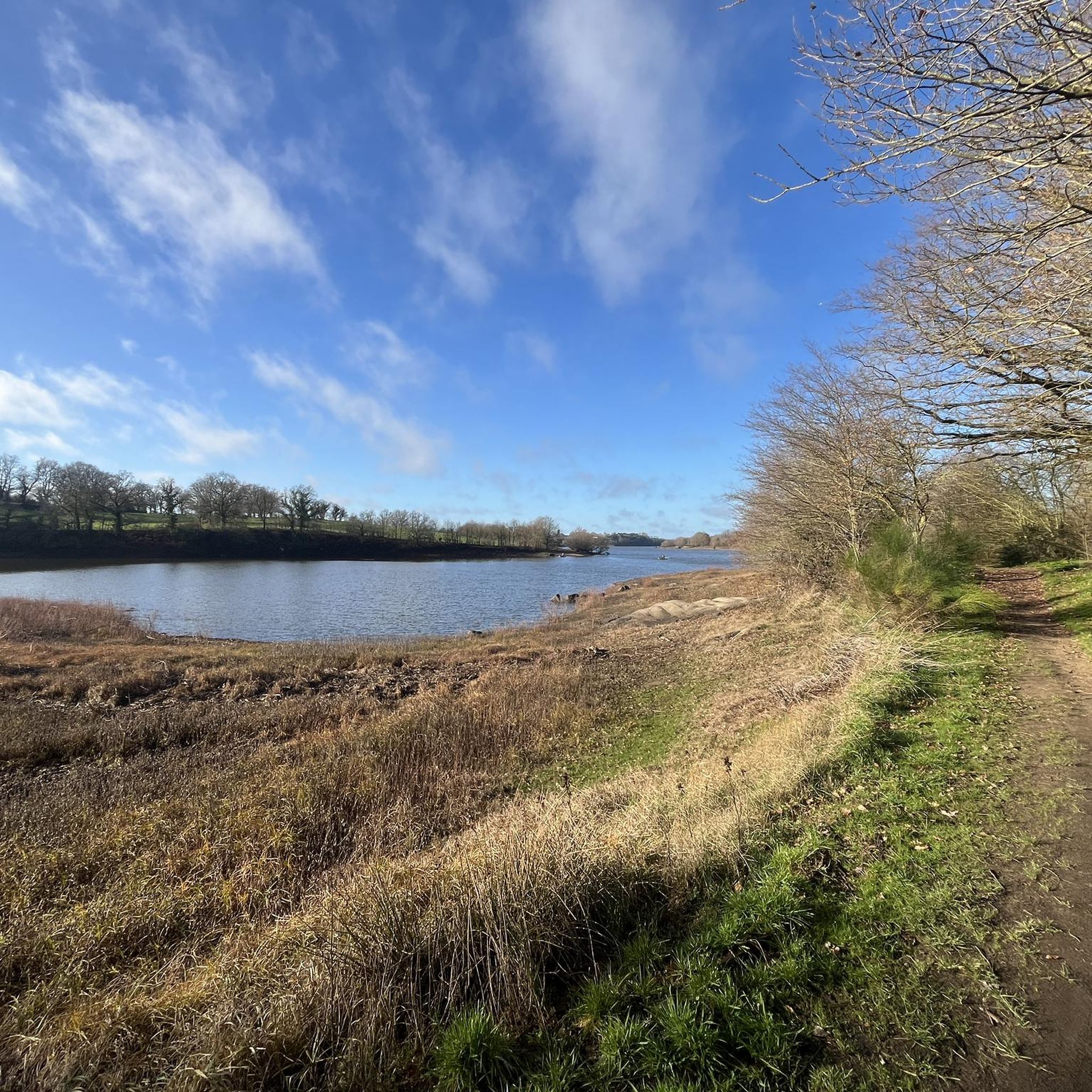
Bultière Lake is an artificial reservoir. The Bultière Dam was built in 1994. It is located in the commune of Chavagne en paillers. It supplies the drinking water network. Its surface area is 72 hectares and contains 5.2 million cubic meters of water. It is possible to walk around the lake via a 15-km trail. This lake, with its exceptionally rich fish population, awaits you with almost every type of fish (perch, pike, zander, catfish, carp, roach, bream, tench, etc.). You can go predator fishing from the shore or from a boat to catch zander, pike, and catfish. It is, of course, possible to still fish for roach, bleak, or bream. Carp are also present in this lake. A night carp fishing route located on the right bank in the Maurosière sector will delight those who love a good catch.
0
0

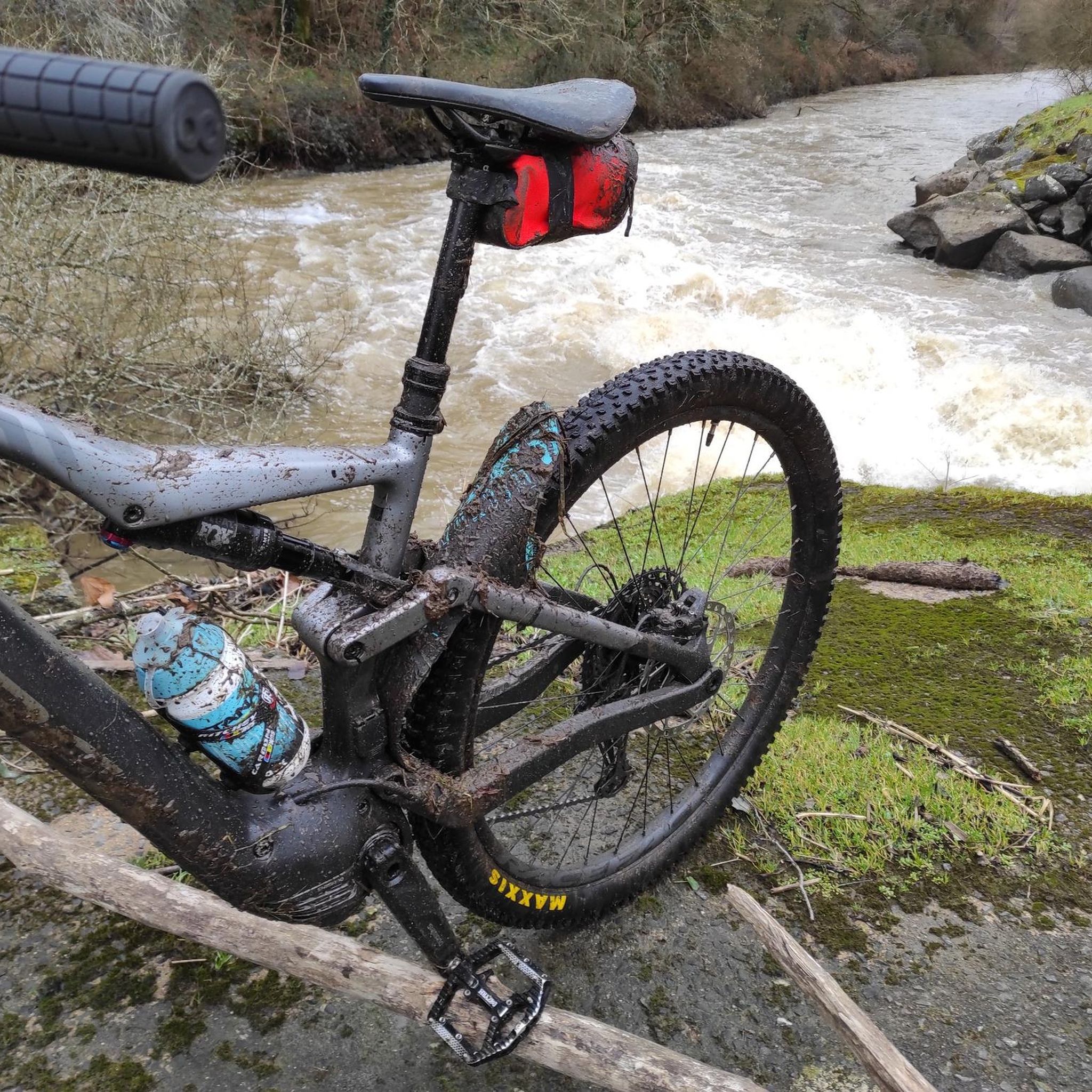
superb place, to see and see again while hiking or mountain biking
0
0

This vast body of water, popular for fishing and nature walks, offers an ideal setting for a bike ride along its banks. The trails surrounding the lake reveal superb views of the calm water and the surrounding hills.
0
0

Lake Bultière is an artificial water reservoir. The Bultière dam was built in 1994. It is located in the town of Chavagne en strawlers. It supplies the drinking water network. Its surface area is 72 hectares containing 5.2 million m3 of water. it is possible to go around the lake via a 15 km path. This lake of exceptional fish wealth awaits you with almost all kinds of fish (perch, pike, zander, catfish, carp, roach, bream, tench, etc.). You can practice predator fishing from the shore or with a boat to catch zander or pike, catfish.
0
0


A remarkable private property. A site of great natural wealth
0
0
An incredible site that allows you to cross the river to reach the right bank of Lac de la Bultière
1
0
Magnificent 16th century dwelling completely renovated. You have to deviate a bit from the path but the out and back is worth it!!
0
0
Frequently Asked Questions
How many hiking trails are available around La Boissière-De-Montaigu?
There are over 200 hiking routes in the La Boissière-De-Montaigu area. These trails primarily explore the surroundings of the Lac de la Bultière and the local countryside, offering a variety of options for different skill levels.
Are there easy hiking trails suitable for beginners or families in La Boissière-De-Montaigu?
Yes, the region offers many easy trails. For instance, the Lac de la Bultière – Lac de la Bultière loop from Preuilly is an easy 4.9 km (3.1 miles) path that takes about 1 hour 17 minutes to complete, perfect for a relaxed walk with gentle terrain.
What kind of terrain can I expect on hikes around La Boissière-De-Montaigu?
The terrain around La Boissière-De-Montaigu is generally gentle, characterized by lakeside paths and rolling countryside. Most routes feature modest elevation gains, making them accessible for a wide range of abilities. You'll find a mix of natural and rural landscapes.
Are there any circular walks available in the area?
Yes, many routes around La Boissière-De-Montaigu are circular, allowing you to start and end at the same point. A popular option is the Lac des Bultières — loop from Bazoges-en-Palliers, which is a 15.8 km (9.8 miles) moderate trail offering extensive lake views.
What attractions or landmarks can I see while hiking near La Boissière-De-Montaigu?
Many trails offer views of the beautiful Lac de la Bultière. You can also explore historical sites like Montaigu Castle or Tiffauges Castle, which are within reach of the hiking area. The Valley of the Three Provinces is another notable natural monument.
What do other hikers enjoy most about the trails in La Boissière-De-Montaigu?
The hiking trails in La Boissière-De-Montaigu are highly rated by the komoot community, with an average score of 4.5 stars. Reviewers often praise the beautiful lakeside scenery, the well-maintained paths, and the peaceful atmosphere, especially around the Lac de la Bultière.
Are there any moderate hikes for those looking for a bit more challenge?
Absolutely. For a moderate challenge, consider the Tour of Lac de la Bultière loop from Le Moulin de la Templerie. This 11.6 km (7.2 miles) route provides a comprehensive circuit of the lake, passing through varied natural surroundings and offering a longer hiking experience.
What is the best season for hiking in La Boissière-De-Montaigu?
The region is pleasant for hiking from spring through autumn. Spring brings blooming flora, while autumn offers beautiful foliage. Summer is also suitable, especially for lakeside walks, but it's always advisable to check local weather conditions before heading out.
Are there any trails that are particularly good for spotting wildlife?
Given the focus on the Lac de la Bultière and surrounding natural areas, many trails offer opportunities for birdwatching and observing local wildlife, particularly around the water's edge and in the quieter wooded sections. Early mornings or late afternoons are often the best times for wildlife spotting.
Are there any trails that offer viewpoints or scenic overlooks?
While the terrain is generally gentle, many routes around the Lac de la Bultière offer open views across the water and the surrounding countryside. The longer loops, such as the Lac des Bultières — loop from Bazoges-en-Palliers, provide extensive scenic vistas as you circumnavigate the lake.
What should I bring for a hike in La Boissière-De-Montaigu?
For most hikes in this region, comfortable walking shoes, water, and appropriate clothing for the weather are essential. Sun protection is recommended during warmer months, and a map or GPS device (like komoot) is always useful for navigation, even on well-marked trails.
Most popular routes around La Boissière-De-Montaigu
Most popular attractions around La Boissière-De-Montaigu

Get inspired with the komoot mobile app


Explore more
Browse the best Hikes in other regions.
