The best running trails around Cantenay-Épinard
4.2
(83)
6,391
runners
23
runs
Jogging around Cantenay-Épinard offers a network of routes primarily characterized by its riverside paths along the Mayenne and Sarthe rivers. The terrain is generally flat, making it suitable for various running paces and distances. The region features a mix of open agricultural landscapes and areas with natural vegetation, providing varied scenery for runners. With 25 routes available, runners can find options ranging from short, easy jogs to longer, more challenging runs.
Best jogging routes around Cantenay-Épinard
- The most popular jogging…
Last updated: June 27, 2026
186
runners
13.3km
01:28
80m
80m
Moderate run. Good fitness required. Mostly paved surfaces. Suitable for all skill levels.
4.0
(2)
125
runners
30.7km
03:21
170m
170m
Hard run. Very good fitness required. Mostly paved surfaces. Suitable for all skill levels.

Sign up for free
5.0
(1)
41
runners
13.0km
01:22
70m
70m
Moderate run. Good fitness required. Mostly paved surfaces. Suitable for all skill levels.
5.0
(3)
32
runners
8.29km
00:52
30m
30m
Moderate run. Good fitness required. Mostly paved surfaces. Suitable for all skill levels.
14
runners
13.0km
01:23
50m
50m
Moderate run. Good fitness required. Mostly paved surfaces. Suitable for all skill levels.
Get access to more routes and recommendations from other explorers.
Sign up for free
Already have an account?
Our route recommendations are based on thousands of hikes, rides, and runs completed by other people on komoot.
Start today with a free account
Your next adventure awaits.
Login or Signup
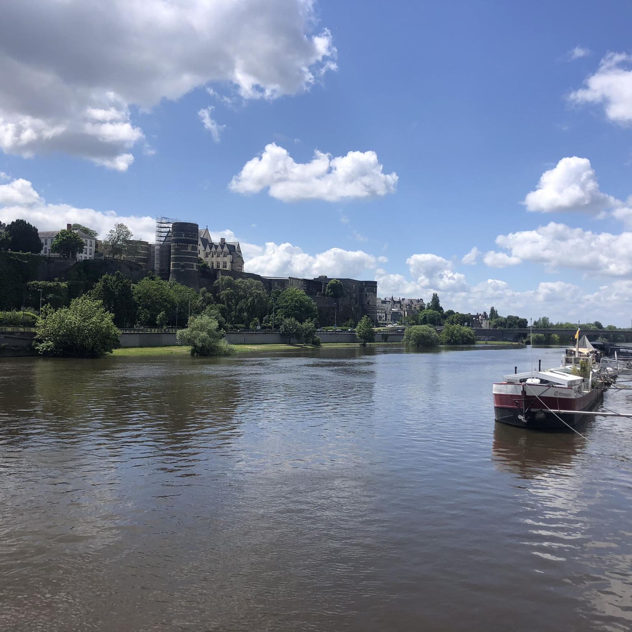
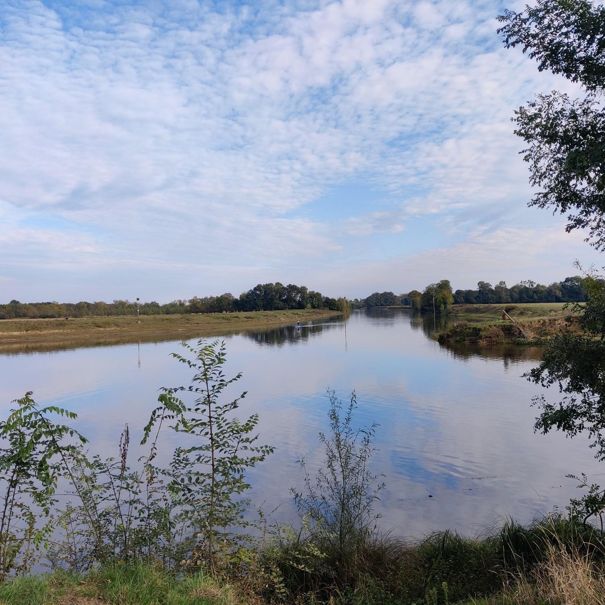
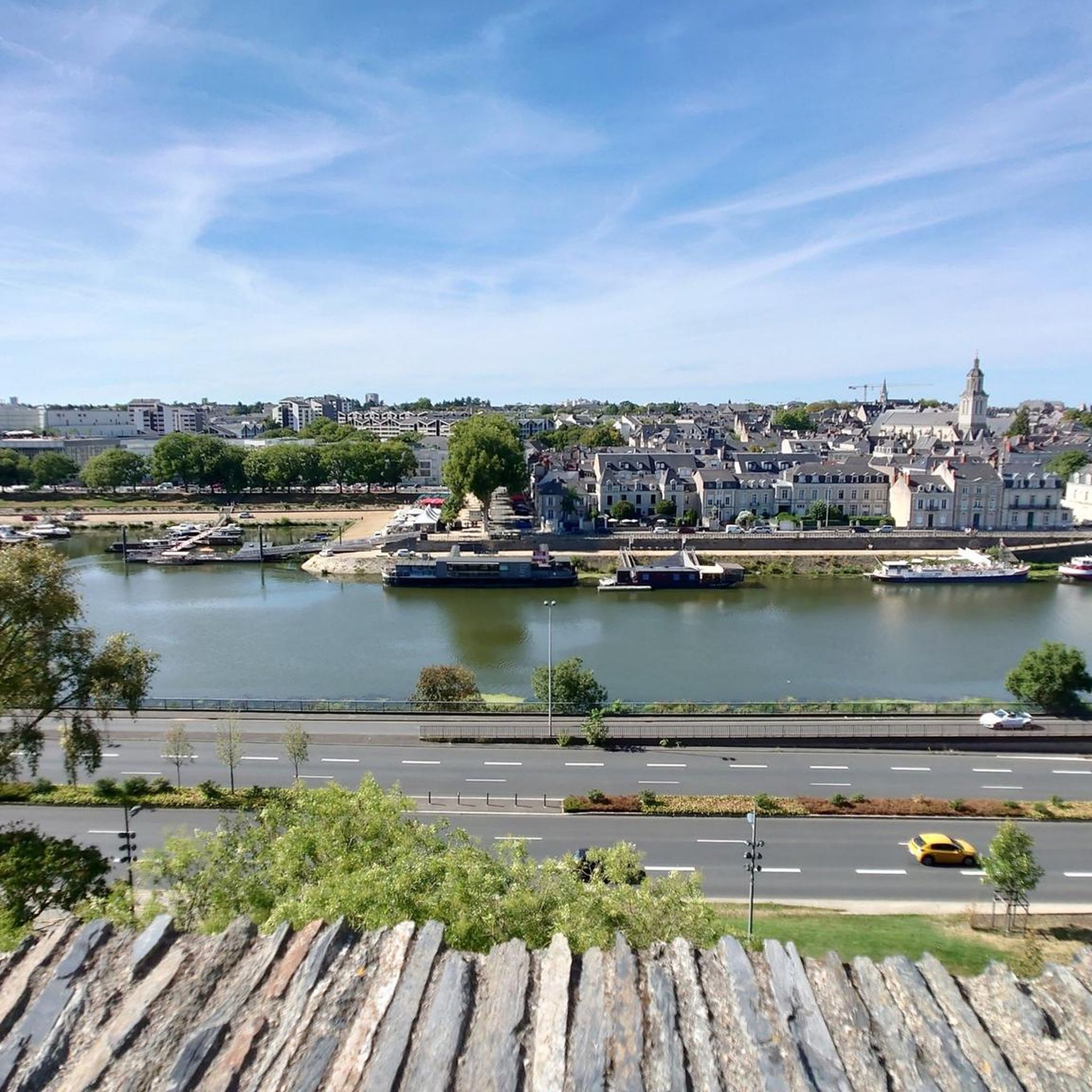

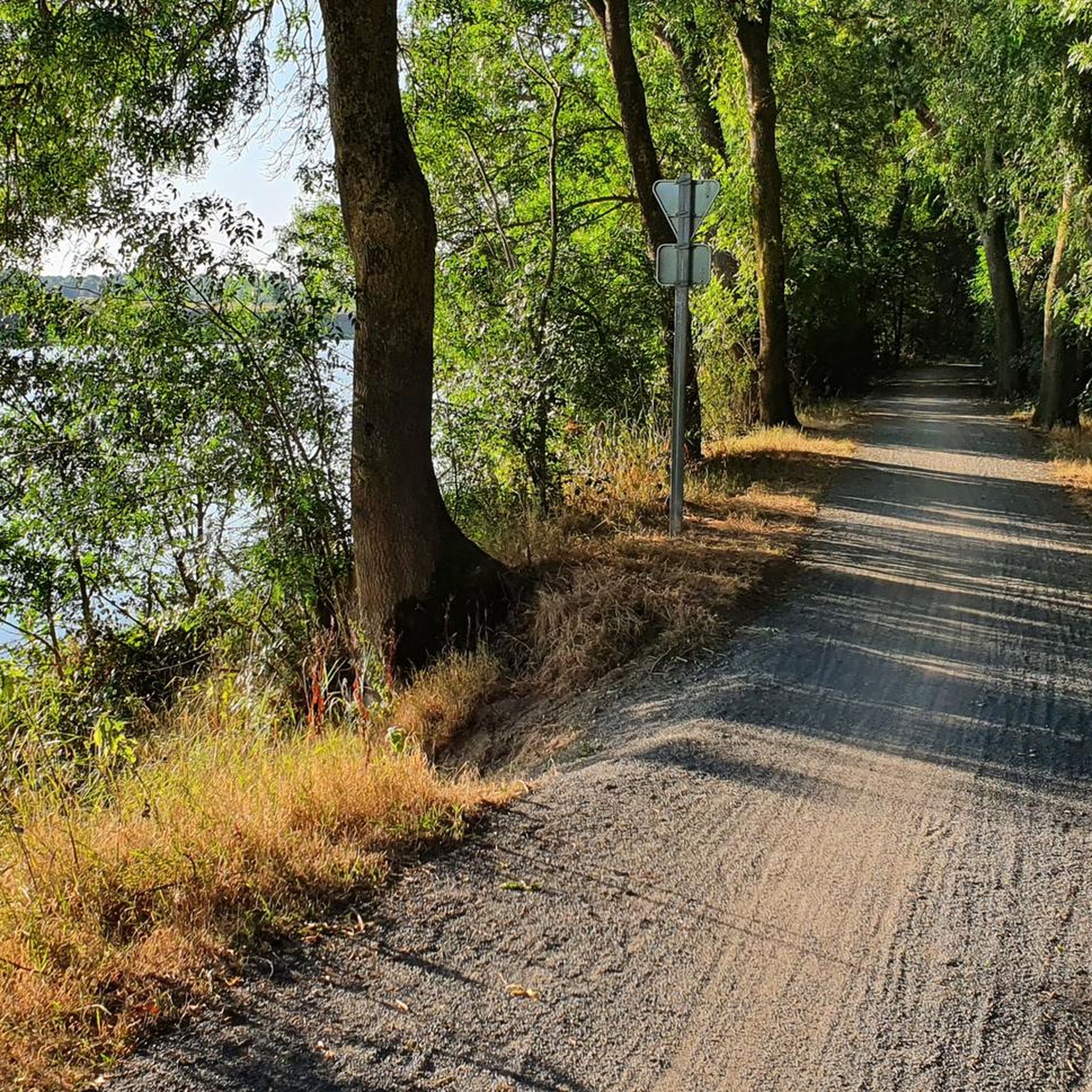
Tips from the Community

I didn't know it and I was amazed by this greenway along the Mayenne
1
0

Practical, easy, inexpensive!
0
0

Saint-Aubin Island is an island formed by Old Maine, Sarthe and Mayenne, located north of Angers, in the Lower Angevin Valleys, of which the island represents 1/10th of the surface area. Covering an area of 600 hectares, it is essentially made up of natural meadows used for hay and regrowth grazing (regrowth after mowing). The territory of Saint-Aubin Island is entirely located in the commune of Angers. There is no bridge to access it; access is via a tray. The island has a very rich biodiversity for a site on the urban edge. It is a Natural Area of ecological, fauna and flora interest. Saint-Aubin Island is an urban natural area included in the Natura 2000 perimeter. It is part of the Special Protection Zone of the Lower Angevin Valleys. Source Wikipedia: https://fr.m.wikipedia.org/wiki/%C3%8Ele_Saint-Aubin
0
0

real end of the V47, 9 km from the "bec du Loir" where the Loir flows into the Sarthe (at Briollay) before quickly joining the Maine then the Loire south of Angers
1
0

Landscaped rolling path, very pleasant
0
0

Excellent moment, the ferry allows access to a small guinguette on the island.
0
1

Ferry allowing passage to Ile Saint Aubin. Open from April.
0
0

Pleasant spot to rest or when the tavern is open to quench your thirst
0
0
Frequently Asked Questions
How many running routes are available in Cantenay-Épinard?
There are 25 dedicated running routes around Cantenay-Épinard. These routes offer a variety of experiences, from easy jogs to more challenging long-distance runs, primarily along the Mayenne and Sarthe rivers.
Are there any easy running routes suitable for beginners or families in Cantenay-Épinard?
Yes, Cantenay-Épinard offers 2 easy running routes, which are generally flat and suitable for beginners or families looking for a relaxed jog. The terrain along the rivers is typically gentle, making it accessible for various fitness levels.
Can I find challenging or long-distance running trails in Cantenay-Épinard?
Absolutely. For those seeking a challenge, there are 4 difficult routes available. One notable long-distance option is the Port Albert – Mayenne Riverside Path loop from Cantenay-Épinard, which spans 18.8 miles (30.2 km) and explores extensive sections of the riverside.
What kind of scenery can I expect on the jogging routes around Cantenay-Épinard?
The routes in Cantenay-Épinard are characterized by picturesque riverside paths along the Mayenne and Sarthe rivers. You'll also experience a mix of open agricultural landscapes and areas with natural vegetation, providing varied and pleasant scenery for your run.
Are there any circular running routes in Cantenay-Épinard?
Yes, many of the running routes in Cantenay-Épinard are circular. For example, the popular Port de l'Île ferry – The Fishing Cat loop from Cantenay-Épinard is a moderate 9.1-mile (14.7 km) circular trail that follows the riverbanks.
What do other runners say about the trails in Cantenay-Épinard?
The running routes in Cantenay-Épinard are highly regarded by the komoot community, with an average rating of 4.2 stars from over 70 reviews. Runners often praise the beautiful riverside scenery and the generally flat, accessible terrain.
Are there any interesting landmarks or attractions to see along the running routes?
While running, you might encounter various points of interest. Nearby attractions include natural spots like Lake Maine and Étang Saint-Nicolas. For historical interest, Angers Castle is also within the broader region.
Are the running trails in Cantenay-Épinard suitable for dogs?
Many of the riverside paths and agricultural trails in Cantenay-Épinard are generally suitable for running with dogs, provided they are kept on a leash and you adhere to local regulations regarding pets in natural areas. Always be mindful of other trail users and wildlife.
Is there public transport access to the running routes in Cantenay-Épinard?
Cantenay-Épinard is a commune near Angers, and local bus services connect it to the wider area. While specific route starting points might require a short walk from a bus stop, public transport can provide access to the general vicinity of the running trails.
Are there any running routes around 5k or 10k in length?
Yes, you can find routes suitable for 5k and 10k distances. For example, The Fishing Cat loop from Cantenay-Épinard is a moderate 8.2 km (approximately 5.1 miles) route, perfect for a solid 5k+ run. Many other routes can be adapted or combined to achieve your desired distance.
What is the best time of year for running in Cantenay-Épinard?
The generally flat terrain and riverside paths make Cantenay-Épinard suitable for running throughout much of the year. Spring and autumn offer pleasant temperatures and beautiful scenery. Even in winter, many routes remain accessible, though conditions may vary.
Are there any running routes that pass by cafes or places to rest?
While specific routes aren't designed around cafes, many trails pass through or near the village of Cantenay-Épinard or other small towns along the Mayenne and Sarthe rivers, where you can find local establishments for refreshments. Planning your route to include a stop is often possible.
Most popular routes around Cantenay-Épinard
Most popular attractions around Cantenay-Épinard

Get inspired with the komoot mobile app


Explore more
Browse the best Running Trails & Routes in other regions.
