The best road cycling routes around Cantenay-Épinard
4.3
(693)
16,772
riders
1,015
rides
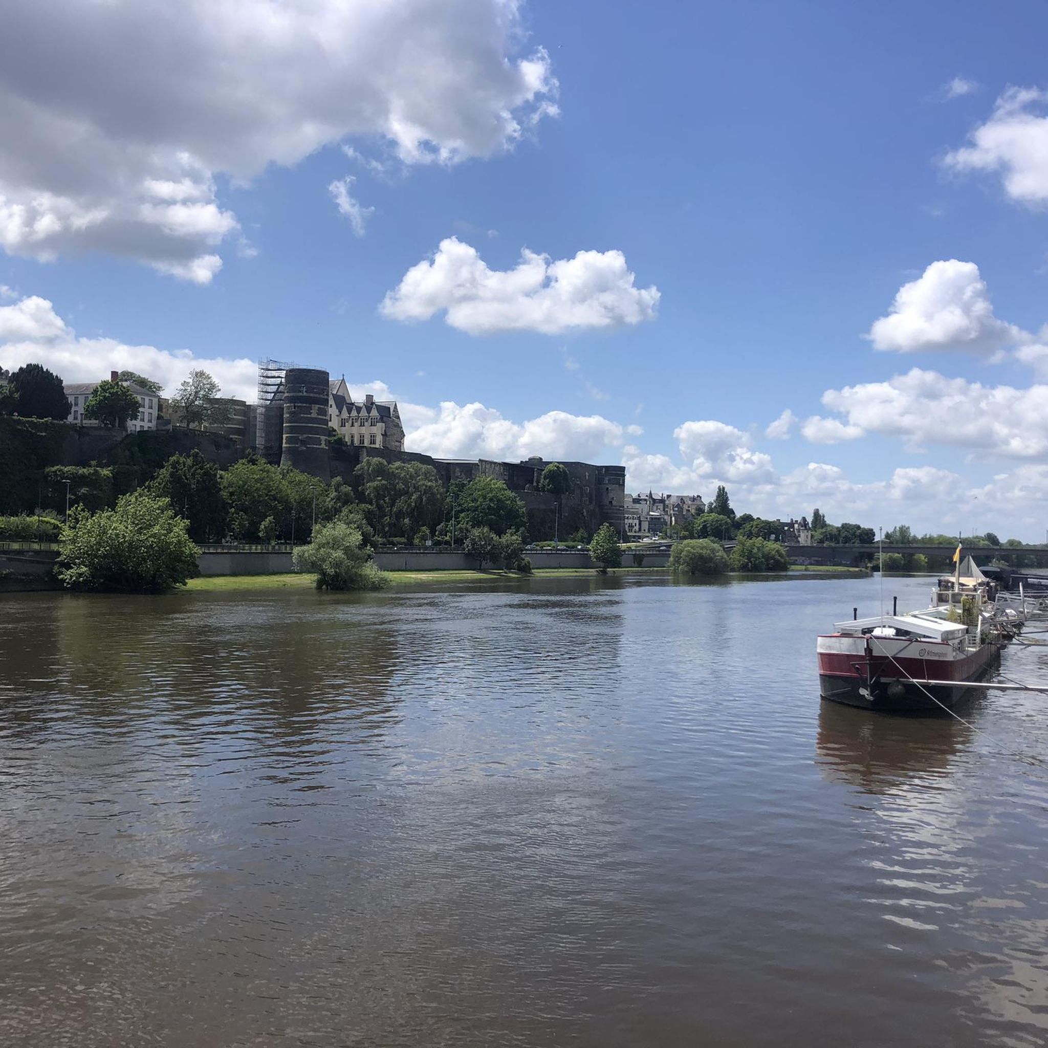
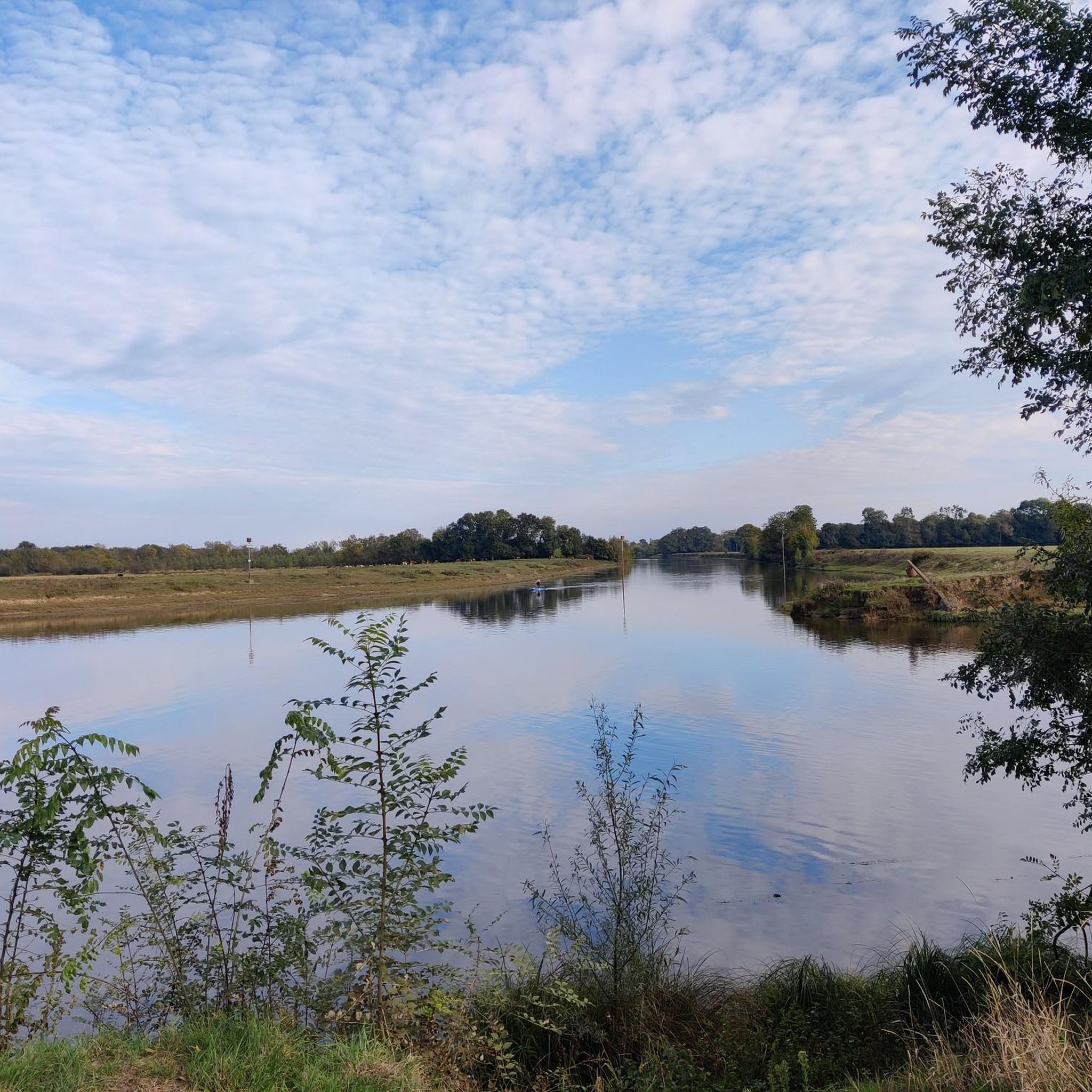
Road cycling around Cantenay-Épinard is characterized by its flat terrain and extensive network of routes situated within the "Basses vallées angevines." The region is bordered by the Mayenne and Sarthe rivers, offering waterside scenery and greenways. Cyclists can expect routes with minimal elevation changes, making it suitable for various skill levels. The area's commitment to welcoming cyclists is highlighted by its "Accueil Vélo" label.
Best road cycling routes around Cantenay-Épinard
- The most popular road cycling route is Port Albert –…
Last updated: November 4, 2026
4.0
(1)
181
riders
35.7km
01:30
160m
160m
Easy road ride. Mostly well-paved surfaces and easy to ride.
4.5
(2)
76
riders
51.9km
02:10
260m
260m
Moderate road ride. Good fitness required. Mostly well-paved surfaces and easy to ride.

4.5
(2)
41
riders
Moderate road ride. Good fitness required. Mostly well-paved surfaces and easy to ride.
20
riders
49.3km
02:01
280m
280m
Moderate road ride. Good fitness required. Mostly well-paved surfaces and easy to ride.
21
riders
88.5km
03:46
590m
590m
Moderate road ride. Good fitness required. Mostly well-paved surfaces and easy to ride.
Get access to more routes and recommendations from other explorers.
Already have an account?
Our route recommendations are based on thousands of hikes, rides, and runs completed by other people on komoot.
Start today with a free account
Your next adventure awaits.

Tips from the Community

Beautiful view of the Mayenne from the bridge.
0
0
The village of Grez-Neuville is worth a short break on your route.
0
0
The bridge offers beautiful views of the Mayenne and the village of Grez-Neuville
0
0
A little favorite for the two banks of Grez-Neuville
0
0

Small hill of 400m at an average of 3%.
0
0

In summer, discover the beach near this bridge.
0
0

Will you be lucky enough to see the climbing goats at the foot of this magnificent residence?
0
0

Pleasant route with the Layon vineyards.
0
0
Frequently Asked Questions
What is the typical terrain like for road cycling in Cantenay-Épinard?
Road cycling around Cantenay-Épinard is characterized by its largely flat terrain, situated within the "Basses vallées angevines." You can expect minimal elevation changes, making it suitable for various skill levels. The routes often follow the Mayenne and Sarthe rivers, offering serene waterside scenery.
How many road cycling routes are available around Cantenay-Épinard?
There are over 10 dedicated road cycling routes around Cantenay-Épinard, catering to different preferences and abilities. The komoot community has explored these routes extensively, with over 13,000 road cyclists using komoot to discover the area.
Are there road cycling routes suitable for beginners in Cantenay-Épinard?
Yes, Cantenay-Épinard offers several easy road cycling routes perfect for beginners. For example, the The Fishing Cat – Château de la Roche-Thibault loop from Cantenay-Épinard is an easy 36.9 km path with gentle gradients. Another accessible option is the Château de la Roche-Thibault – False flat rising loop from Cantenay-Épinard, which is 33.1 km long.
What kind of elevation changes can I expect on road cycling routes here?
Given its location in the "Basses vallées angevines" and along rivers, road cycling routes in Cantenay-Épinard are generally very flat. Most routes feature minimal elevation gains, typically under 300 meters for longer loops, making them ideal for relaxed rides without significant climbs.
Are there any long-distance cycling routes that pass through Cantenay-Épinard?
Yes, Cantenay-Épinard is well-connected to major long-distance cycle routes. The renowned Vélo Francette, stretching from Normandy to the Atlantic, and the Loire à Vélo both intersect with the area. Additionally, the Loir Valley by Bike Cycle Route has a significant section within the Angers urban area, connecting to these larger networks.
What natural features can I expect to see while road cycling in Cantenay-Épinard?
The region's natural beauty is defined by its riverine landscapes. You'll cycle alongside the Mayenne and Sarthe rivers, through the tranquil "Basses vallées angevines." This area is known for its serene waterside scenery and diverse wildlife, especially during winter floods when parts are submerged, creating a unique environment.
Are there any historical landmarks or points of interest along the road cycling routes?
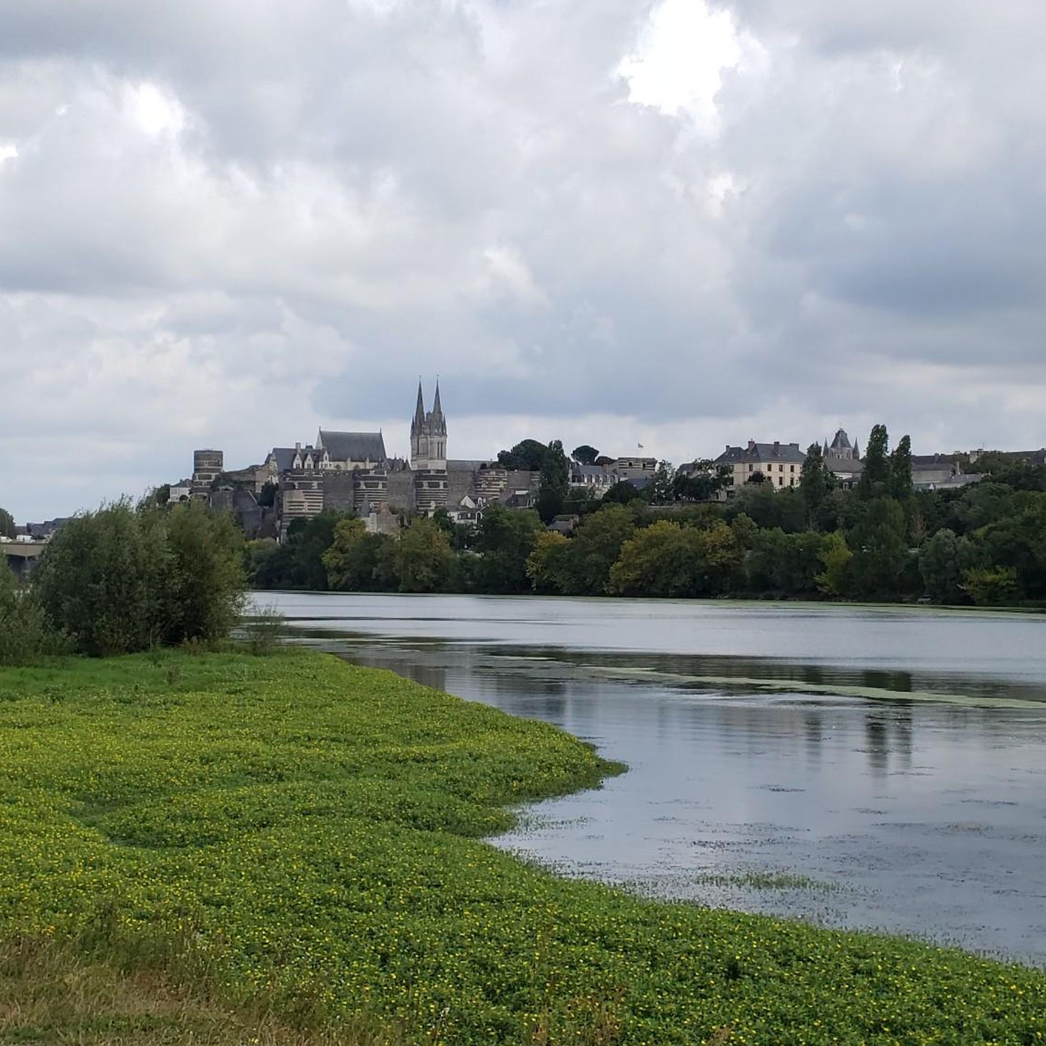
While Cantenay-Épinard itself offers a peaceful village atmosphere, its proximity to Angers provides easy access to historical sites. You can find impressive castles nearby, such as Angers Castle and Château du Plessis-Bourré. Some routes, like the Plessis-Macé Castle – Petite Côte loop from Soulaire, will take you past these historical gems.
Can I find viewpoints along the road cycling routes in Cantenay-Épinard?
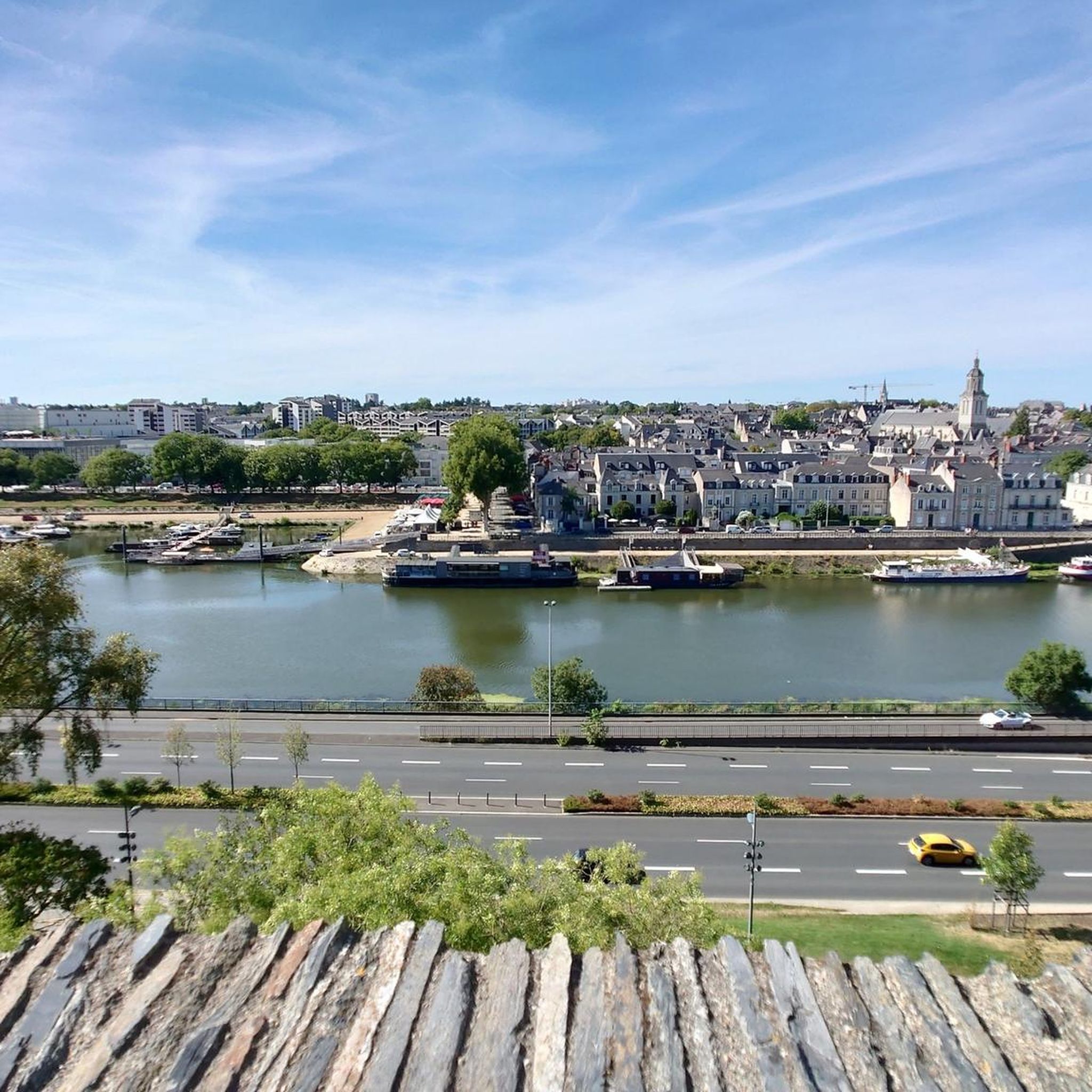
Yes, the riverine setting offers several scenic viewpoints. You can enjoy views of the Maine River, particularly from areas near Château d'Angers. Additionally, Parc St Nicolas provides pleasant vistas, often incorporated into local cycling loops.
Is Cantenay-Épinard well-equipped for cyclists?
Absolutely. Cantenay-Épinard holds the "Accueil Vélo" label, signifying its commitment to welcoming cyclists with appropriate services and facilities. An outdoor activities base, O'Evasion, is located in the village, offering equipment rental, including bikes, and guided activities along the Mayenne river.
Are there options for circular road cycling routes in the area?
Many of the road cycling routes around Cantenay-Épinard are designed as loops, allowing you to start and end in the same location. Examples include the Port Albert – Village of Grez Neuville loop from Cantenay-Épinard and the Petite Côte – The Fishing Cat loop from Cantenay-Épinard, which are popular choices for exploring the region.
What do other road cyclists enjoy the most about road cycling in Cantenay-Épinard?
The area is highly rated by the komoot community, with an average score of 4.2 stars from over 500 reviews. Cyclists often praise the flat, scenic routes along the rivers, the charming villages connected by the trails, and the overall peaceful atmosphere that makes for an enjoyable ride.
Are there any lakes accessible by road bike near Cantenay-Épinard?
Yes, several beautiful lakes are within cycling distance. You can reach Lake Maine and Étang Saint-Nicolas, which offer pleasant spots for a break or to enjoy the scenery. The Lac de Maine Leisure Park is also a popular destination for outdoor activities.
Most popular routes around Cantenay-Épinard
Most popular attractions around Cantenay-Épinard

Get inspired with the komoot mobile app


Explore more
Browse the best Road cycling routes in other regions.
