The best running trails around Estérençuby
4.4
(12)
1,118
runners
116
runs
Jogging around Estérençuby offers diverse routes through the French Basque Country, characterized by the majestic Pyrenees mountains and deep river valleys. The landscape features varied elevations, from challenging mountain passes to more gradual inclines along the Nive de Béhérobie. Runners can explore shaded paths through oak forests and Irouléguy vineyards, alongside high-altitude pastoral areas. This region provides a stimulating environment for all levels of runners.
Best jogging routes around Estérençuby
- The most popular jogging route is Ttutturu trail – running…
Last updated: June 29, 2026
10
runners
24.4km
03:41
1,330m
1,330m
Hard run. Very good fitness required. Sure-footedness, sturdy shoes and alpine experience required.
75
runners
44.4km
07:23
2,630m
2,630m
Hard run. Very good fitness required. Sure-footedness, sturdy shoes and alpine experience required.

Sign up for free
24
runners
35.8km
05:45
2,020m
2,020m
Hard run. Very good fitness required. Sure-footedness, sturdy shoes and alpine experience required.
12
runners
10.1km
01:39
570m
570m
Hard run. Very good fitness required. Sure-footedness, sturdy shoes and alpine experience required.
12
runners
19.3km
02:57
970m
970m
Hard run. Very good fitness required. Sure-footedness, sturdy shoes and alpine experience required.
Get access to more routes and recommendations from other explorers.
Sign up for free
Already have an account?
Our route recommendations are based on thousands of hikes, rides, and runs completed by other people on komoot.
Start today with a free account
Your next adventure awaits.
Login or Signup
Popular around Estérençuby
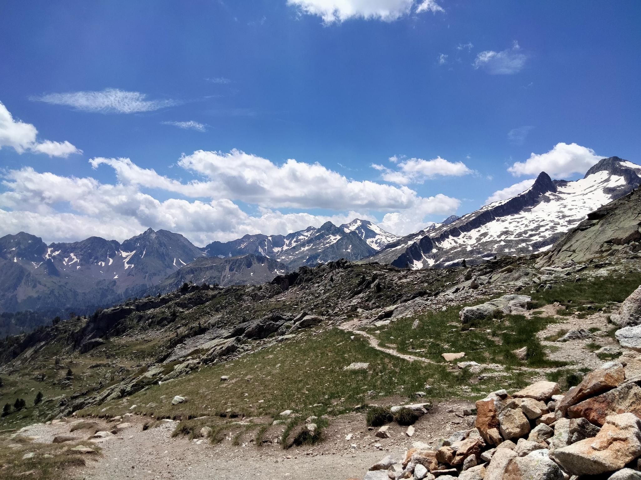
Hexatrek, the western and central Pyrenees – Between mountains and the ocean

Haute Route Pyrénéenne – Pyrenees Crossing
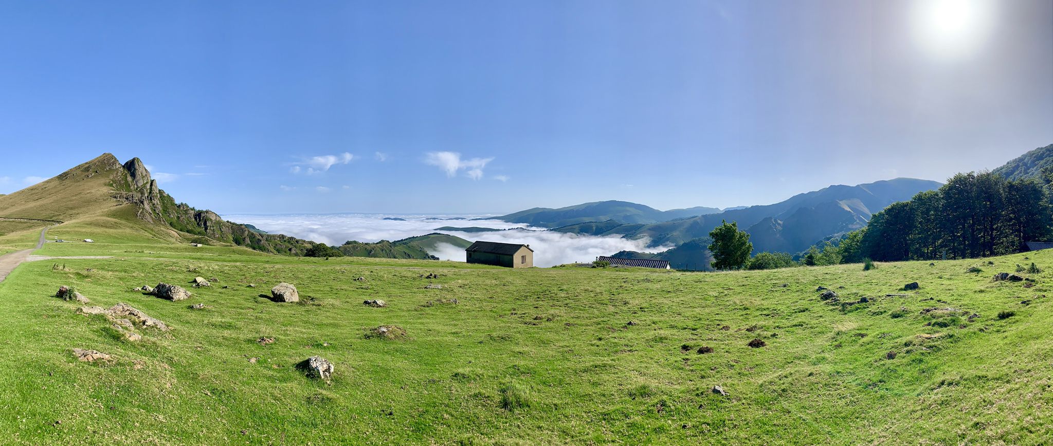
The Western Pyrenees – crossing the Pyrenees on the GR 10
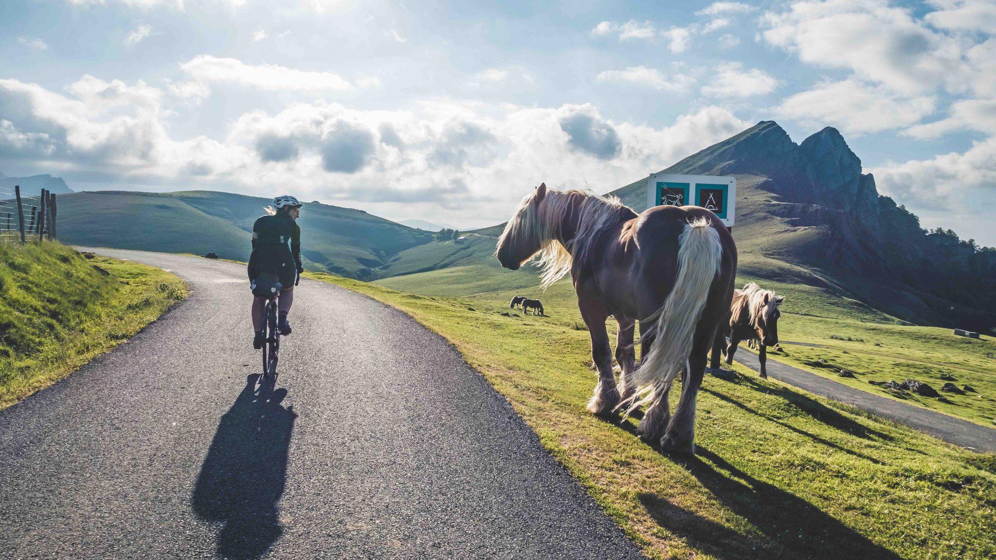
France & Spain: With TOUR in the Atlantic Pyrenees
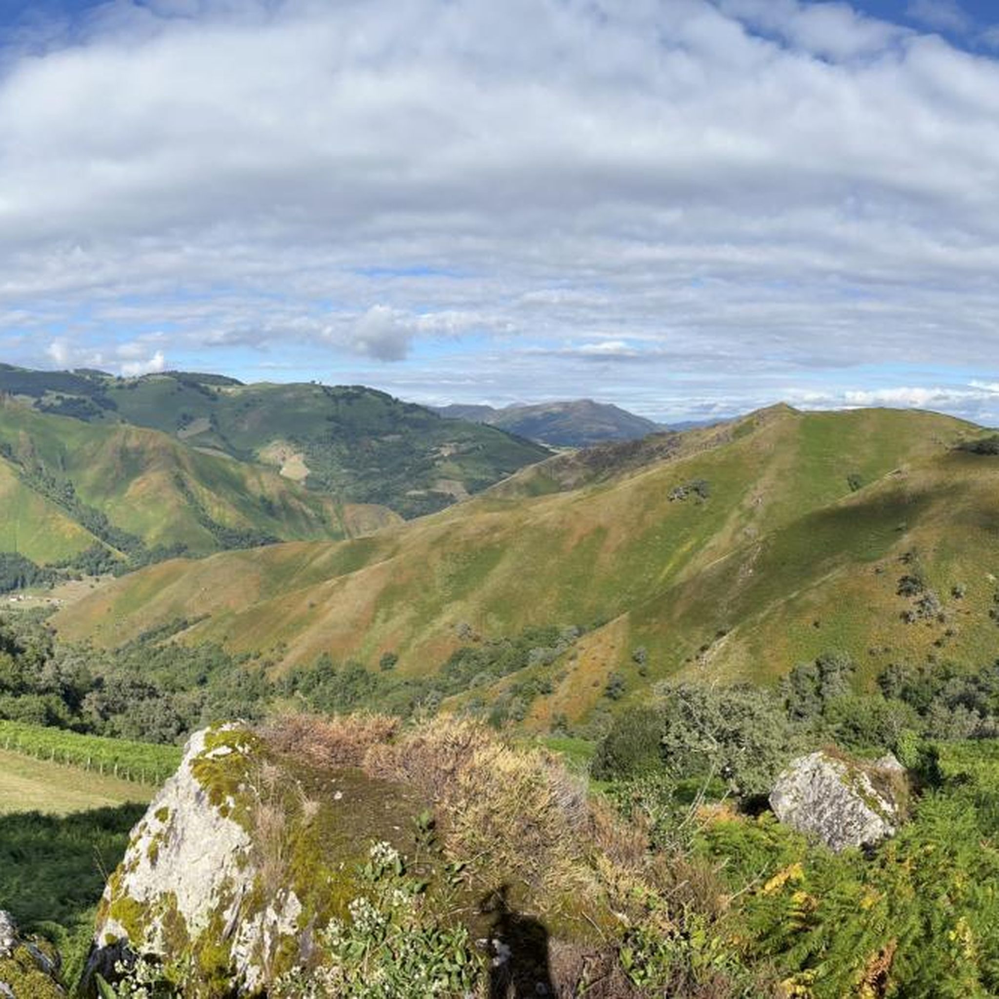
Road Cycling Routes around Estérençuby
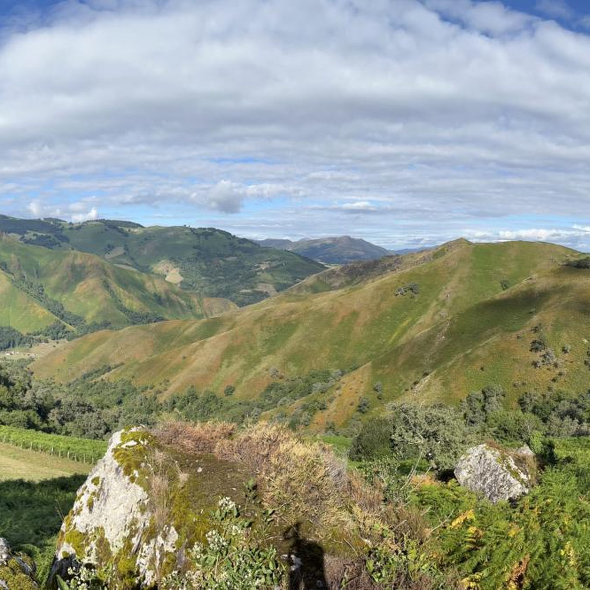
MTB Trails around Estérençuby
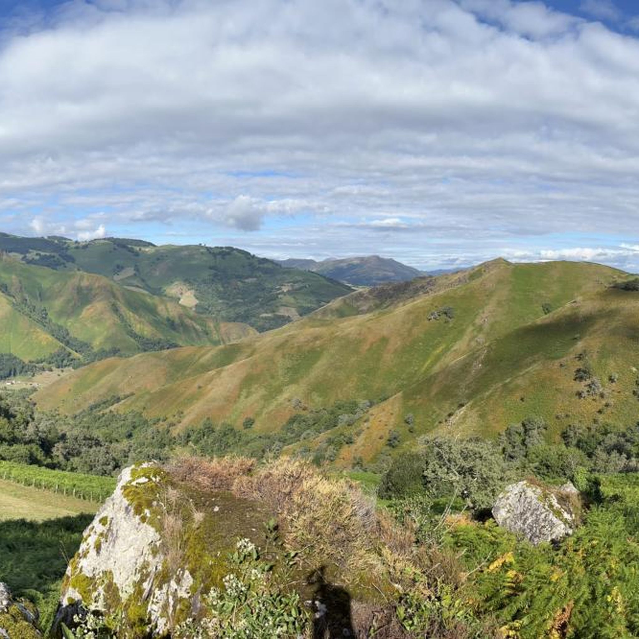
Hiking around Estérençuby
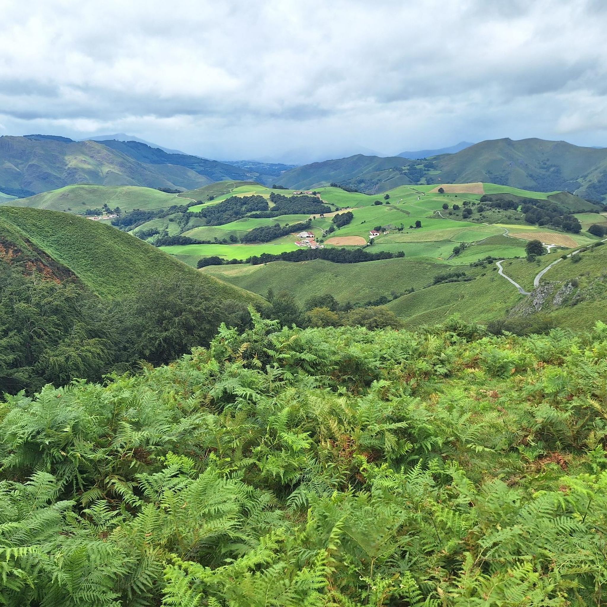
Cycling around Estérençuby
Other adventures around Estérençuby


Tips from the Community

An amazing place with magnificent views and birds of prey soaring just above your head. A spectacular sensation!
0
0

A remote port in the French Pyrenees with narrow roads in perfect condition where you can enjoy the beauty of the green pastures and the absolute tranquility of the place. It is an area where the weather is very changeable and you can have wonderful days or cold and rainy days in summer. It is an alternative road to the Col d'Errozate and connects with Surzai Lepoa. Without a doubt, a magical place and highly recommended.
1
0

Necropolis which dates from +1000 years BC
3
1

This pretty pass provides a beautiful introduction to the largest beech forest in Europe: the Iraty forest. From the village of Saint-Jean-le-Vieux, the climb is 20 kilometers long at an average gradient of 4.6% with a maximum of around 11%.
1
1
The Haritzarte pass is just below the ridge of the same name. Located between the Col d'Ergutze and the Pic de Béhorléguy, it offers a magnificent panorama of the Basque Country, including the crests of Iparla that can be seen in the distance.
5
1
The small village of Lecumberry is on the road towards Iraty. The Ibarnia farm serves as an ideal break for refueling.
1
0
The small village of Lecumberry is on the road towards Iraty. The Ibarnia farm serves as an ideal break for refueling.
1
0
Frequently Asked Questions
How many running routes are available around Estérençuby?
There are over 110 running routes around Estérençuby, offering a wide variety of terrain and difficulty levels. You'll find everything from easy loops to challenging mountain ascents in the Pyrenees.
What kind of terrain can I expect on the jogging trails in Estérençuby?
The region offers diverse terrain, from mountainous paths and passes like the Orgambidé Pass to deep river valleys along the Nive de Béhérobie. You can also run through shaded oak forests, Irouléguy vineyards, and high-altitude pastoral landscapes with views of the Pyrenees.
Are there any easy or beginner-friendly running routes in Estérençuby?
Yes, while many routes are challenging, there are 5 easy and 54 moderate routes suitable for beginners or those looking for a less strenuous run. These often follow river valleys or vineyard paths, providing more gradual inclines.
What are some notable landmarks or points of interest I might see while running in Estérençuby?
You can discover several interesting spots. For example, the Roland Fountain or the Munhoa Summit offer scenic views. The area is also part of historical routes like the Compostela route (GR65).
Are there any circular running routes in the Estérençuby area?
Yes, many routes in the region are circular, allowing you to start and finish in the same location. An example is the moderate Gîte Makila Pilgrims' Hostel – Porte Saint-Jacques loop from Saint-Michel, which is about 8.1 km long.
What do other runners say about the trails in Estérençuby?
The running routes in Estérençuby are highly rated by the komoot community, with an average score of 4.3 stars from over 9 reviews. Runners often praise the varied terrain, stunning Pyrenean views, and the connection with nature and local culture.
Can I find challenging long-distance running trails in Estérençuby?
Absolutely. Estérençuby is ideal for challenging runs, with 53 difficult routes. For instance, the Ttutturu trail – running in the Basque Country is a demanding 24.4 km route with significant elevation gain, taking around 3 hours and 41 minutes to complete.
Are there any running routes that pass through vineyards or forests?
Yes, the region boasts an oak forest and the renowned Irouléguy vineyards. Many routes offer shaded paths through these areas, providing a unique cultural and sensory experience. The nearby Europe's largest beech forest also adds to the natural appeal.
What are the typical elevations like on running routes around Estérençuby?
The elevations vary significantly. You'll find routes with gradual inclines along river valleys, as well as challenging ascents over mountain passes and peaks in the Pyrenees. For example, the Col d'Haritzarte – Béhorléguy loop from Lecumberry involves over 1800 meters of elevation gain.
Are there any huts or shelters along the running trails in Estérençuby?
Yes, for longer runs or multi-day adventures, you might encounter huts and shelters. Notable options include the Orisson Mountain Hut and Inn and the Izandorre Emergency Shelter, which can be useful for planning your route.
What makes Estérençuby a good destination for trail running?
Estérençuby offers a rich tapestry of natural beauty and well-established paths, making it ideal for trail runners. Its location in the French Basque Country provides access to the majestic Pyrenees, deep valleys, forests, and pastoral landscapes, ensuring varied terrain and stunning views for all abilities.
Most popular attractions around Estérençuby

Get inspired with the komoot mobile app


Explore more
Browse the best Running Trails & Routes in other regions.
