The best walks and hikes around Estérençuby
4.4
(641)
4,771
hikers
21
hikes
Hiking around Estérençuby offers access to the diverse landscapes of the Basque Pyrenees, characterized by distinctive "poudingue peaks" and the Nive Valley. The region features a network of trails through ancient forests, such as the Iraty Forest, and across peaceful pastoral lands. Hikers can explore varied terrain, from challenging mountain ridges to gentler paths, providing panoramic views of the surrounding mountains.
Best hiking trails around Estérençuby
- The most popular hiking route is Orgambide Pass – Organbide Dolmen loop from Sources…
Last updated: August 18, 2026
4.5
(16)
75
hikers
15.1km
05:52
770m
770m
Hard hike. Very good fitness required. Mostly accessible paths. Sure-footedness required.
4.6
(11)
48
hikers
4.50km
01:24
160m
160m
Easy hike. Great for any fitness level. Easily-accessible paths. Suitable for all skill levels.

Sign up for free
4.3
(4)
51
hikers
7.40km
02:08
190m
180m
Moderate hike. Good fitness required. Easily-accessible paths. Suitable for all skill levels.
4.6
(5)
21
hikers
6.34km
02:07
310m
310m
Moderate hike. Good fitness required. Easily-accessible paths. Suitable for all skill levels.
12
hikers
9.08km
03:44
480m
480m
Moderate hike. Good fitness required. Mostly accessible paths. Sure-footedness required.
Get access to more routes and recommendations from other explorers.
Sign up for free
Already have an account?
Our route recommendations are based on thousands of hikes, rides, and runs completed by other people on komoot.
Start today with a free account
Your next adventure awaits.
Login or Signup
Popular around Estérençuby
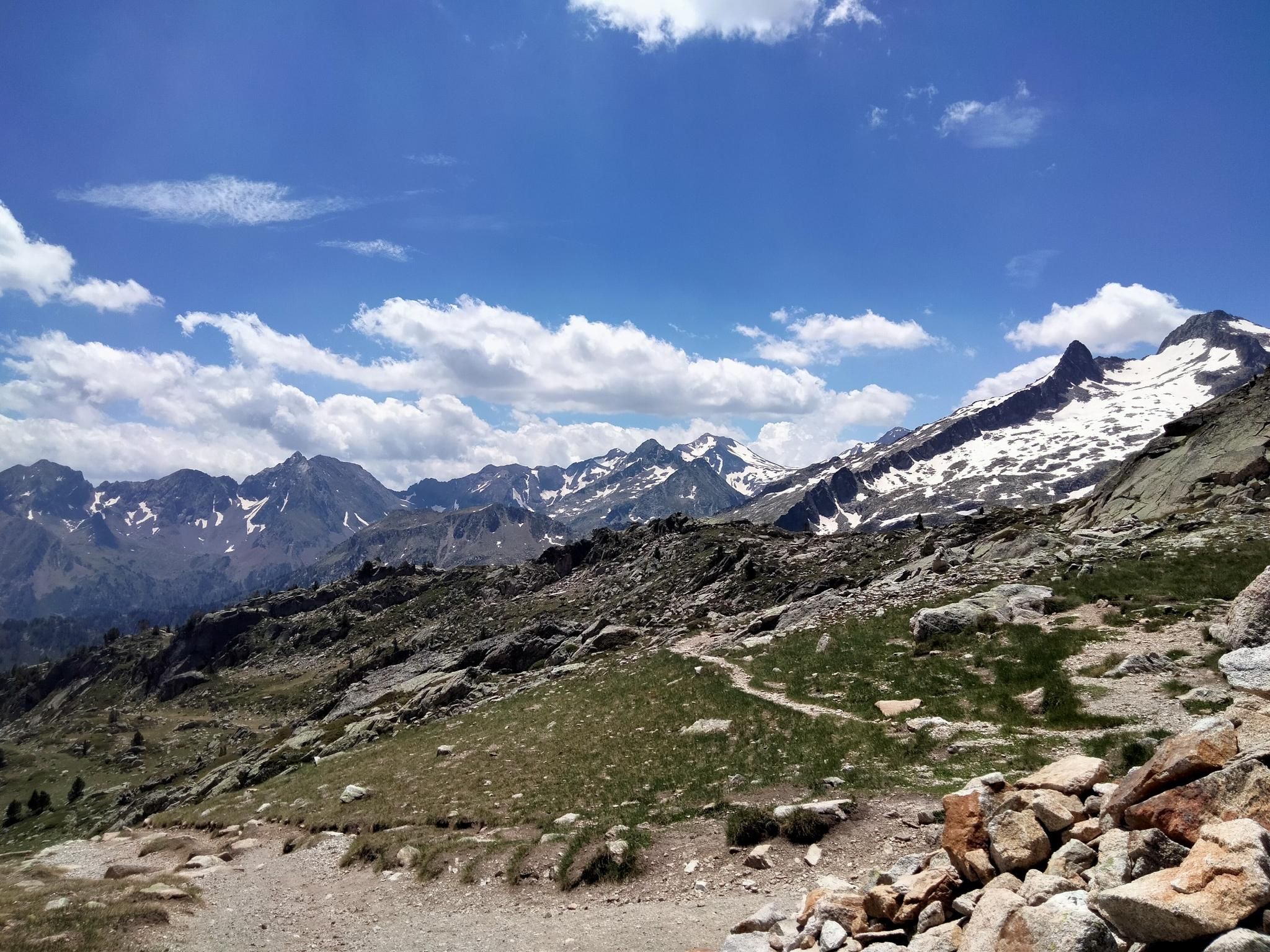
Hexatrek, the western and central Pyrenees – Between mountains and the ocean

Haute Route Pyrénéenne – Pyrenees Crossing
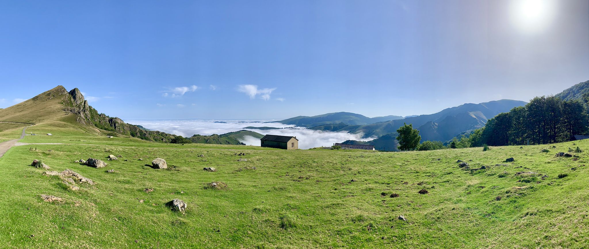
The Western Pyrenees – crossing the Pyrenees on the GR 10
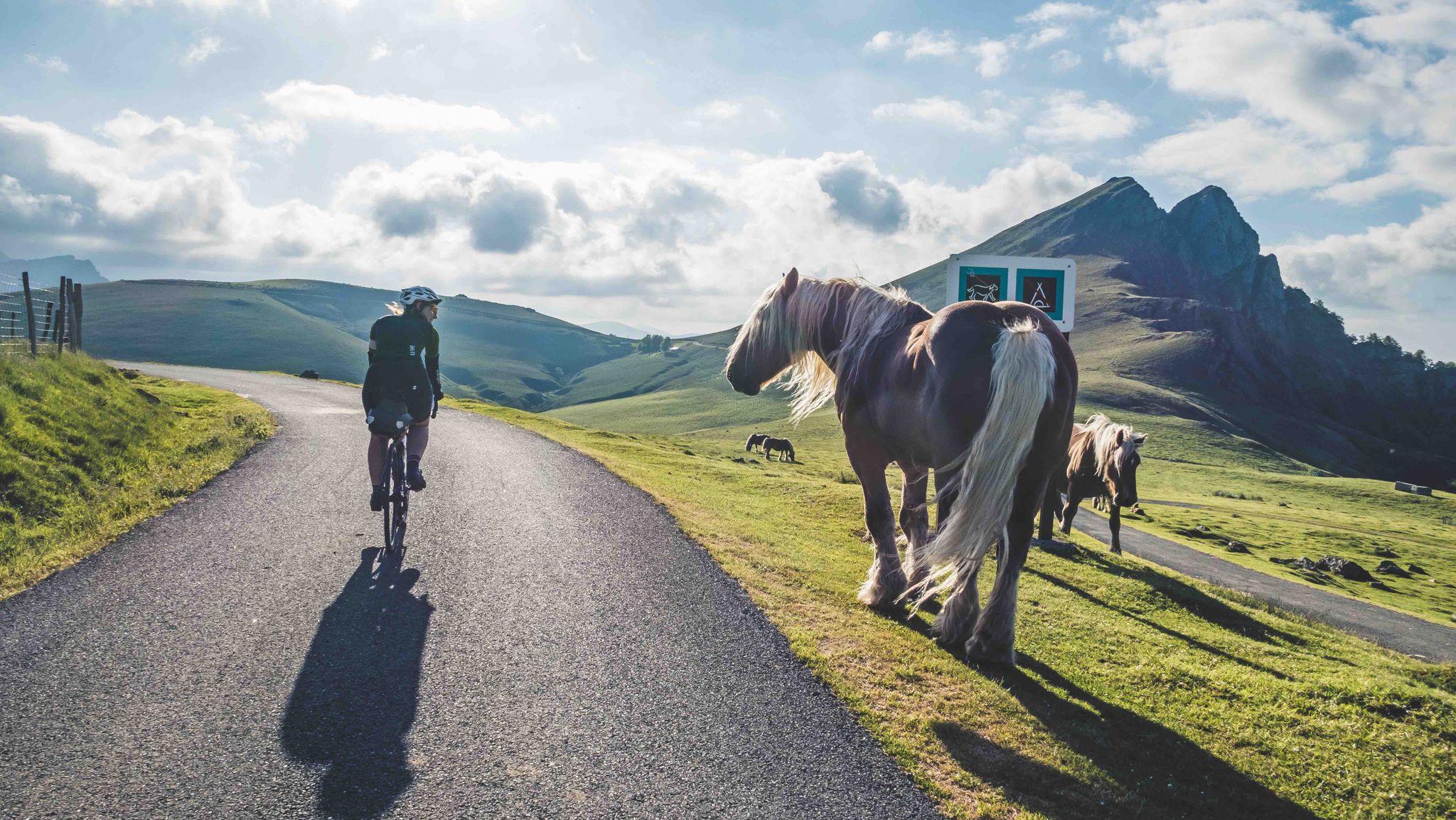
France & Spain: With TOUR in the Atlantic Pyrenees
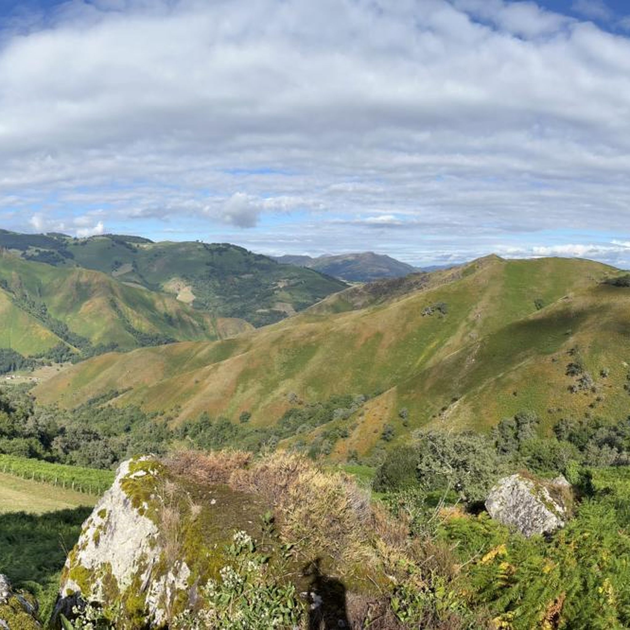
Road Cycling Routes around Estérençuby
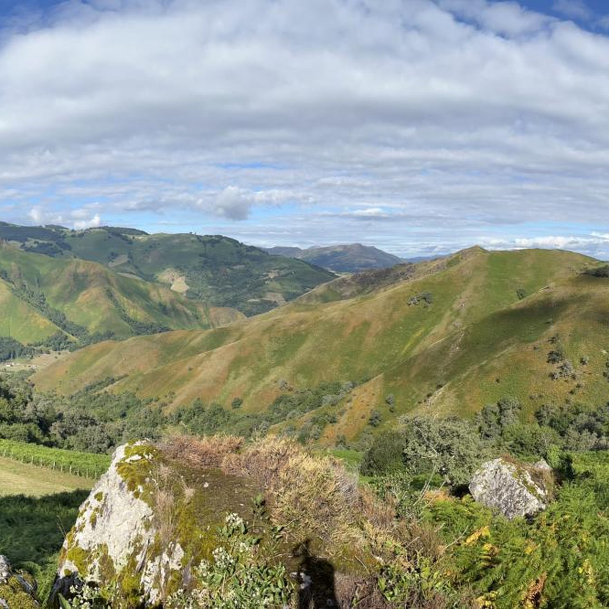
MTB Trails around Estérençuby
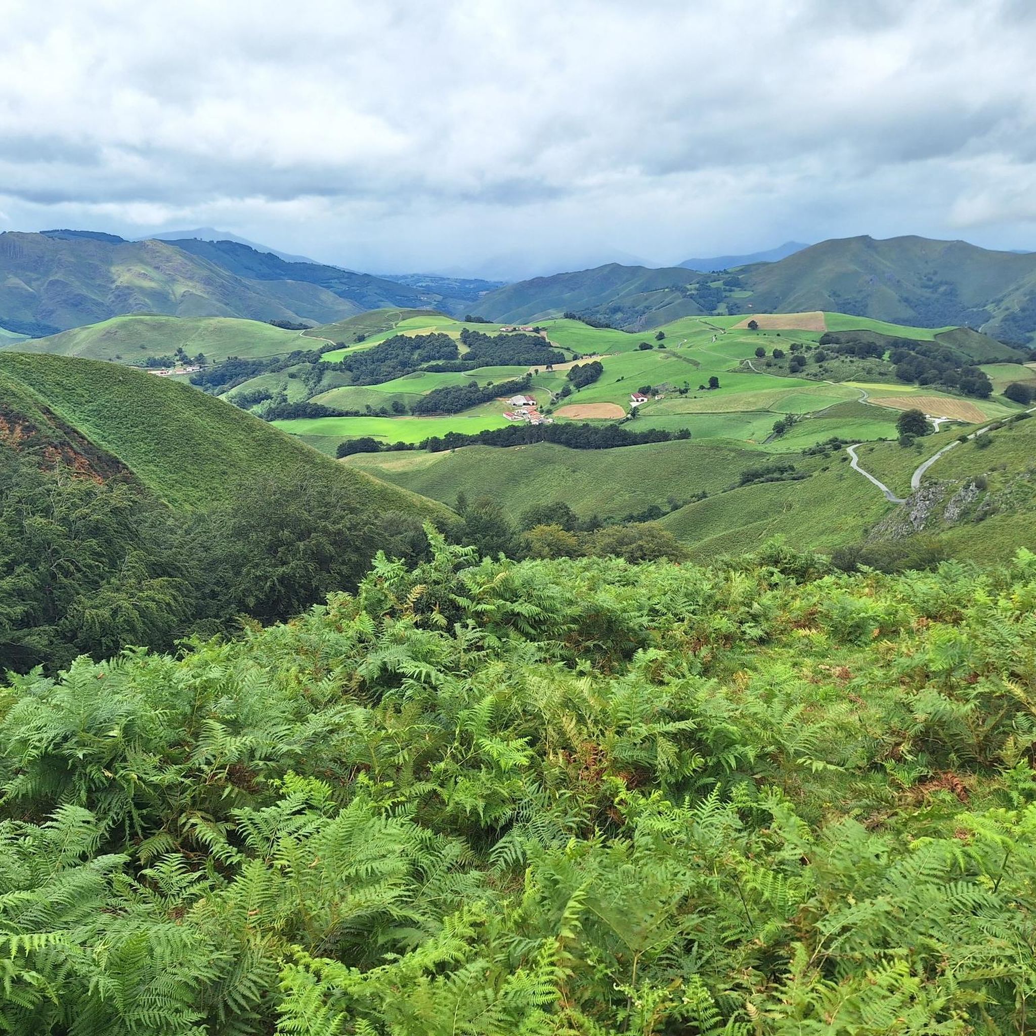
Cycling around Estérençuby
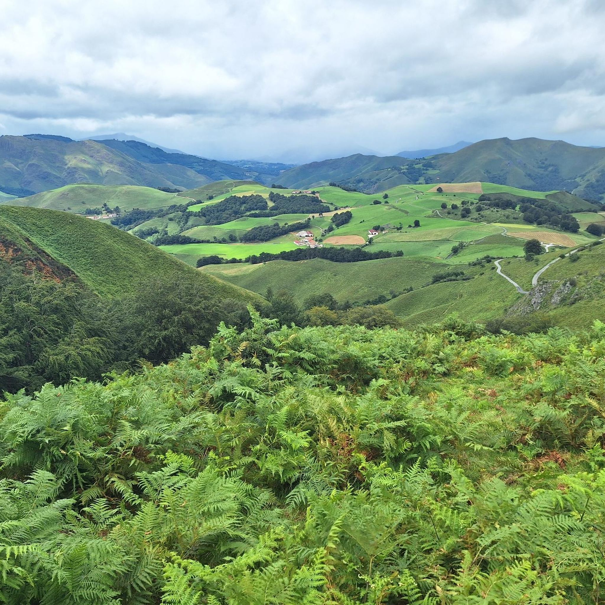
Running Trails around Estérençuby
Other adventures around Estérençuby


Tips from the Community

This stone memorial commemorates a tragic event that occurred on February 10, 2000, near Mount Errozate. It honors the lives of five individuals who perished when an écobuage (a traditional controlled agricultural burn) unexpectedly swept across the mountainside. For anyone passing by, it provides a powerful moment to pause and reflect. The inscription at the bottom offers a beautiful, heartbreaking message specifically directed at those walking the path today "Fellow hikers, they too loved the mountain. Spare a thought for them."
2
0
Puente Chubigna is a picturesque little bridge that provides a highly appreciated dry crossing over the local waterway. The area immediately surrounding the bridge is enveloped in the lush, green vegetation typical of the region. The sound of the rushing water below provides a wonderfully calming soundtrack to your hike. Useful and scenic landmark!
2
0
This spot features a rather unique trail crossing. You will encounter a continuous fence line blocking the path, and it is important to note that there is absolutely no gate or break in the fencing here. Instead, you actually have to climb over it! Just make sure you look for the specific section marked by the two red posts, this is the designated, safest spot to hop over the barrier and continue on your way. It requires a little bit of agility, but it adds a fun, rustic touch to the hike. Just take your time crossing to avoid snagging your clothes or your backpack on the wire!
1
0


Starting point for several climbs that allow you to cross the border and reach Spain. It is a very quiet town where you can take a break and get water. I remember that on hot summer days... the heat is oppressive because there is a lot of humidity. It is a typical town in the area where you will also find some bars where you can have a drink.
0
0
Border crossing between Spain and France. Beautiful and spectacular for both countries. From France, the route can be reached via two roads. What all three sides have in common: - narrow road - hardly any traffic - the initial section is completely covered by trees, passing through immense and beautiful beech forests - the final section is open, with spectacular views. At the top of Col d'Orgambide and Azpegui (on the Spanish side), you can walk to several ancient Neolithic buildings.
1
0

Located on the border with Spain, the Orgambide Pass offers beautiful views of both sides. There is a cabin and several steles that dot this crossing point.
0
0
The small village of Estérençuby is nestled in the hollow of beautiful mountains. Ideally located for a short break and to recharge in water before attacking the ascent of the passes which are not far away.
3
2
Frequently Asked Questions
How many hiking trails are available around Estérençuby?
There are over 20 hiking routes around Estérençuby, offering a wide range of experiences from easy strolls to challenging mountain ascents. The komoot community has rated these trails highly, with an average score of 4.5 stars.
What kind of terrain can I expect on hikes in Estérençuby?
The terrain around Estérençuby is incredibly diverse, ranging from the challenging ascents of the Basque Pyrenees with their distinctive "poudingue peaks" to the peaceful pastoral lands where sheep graze. You'll also find trails winding through the picturesque Nive Valley and ancient forests like the Iraty Forest, offering varied landscapes and panoramic views.
Are there any easy, family-friendly hikes in Estérençuby?
Yes, Estérençuby offers several easier options suitable for families. For example, the Buluntzagaina loop from Bilgotza is an easy 4.5 km path that provides a relaxed experience through the local landscape. While stroller-friendly options might be limited due to natural terrain, many shorter loops are suitable for children.
What are some notable natural features or landmarks to see while hiking?
Hikers can explore several significant natural features and historical landmarks. The Harpéa Cave, a uniquely triangular-shaped cave, is a major draw, historically used by shepherds. The Orgambidé Pass offers breathtaking panoramic views and is home to ancient megalithic vestiges like the Stone Circle at Col d'Orgambide. You might also encounter the Roland Fountain or reach the Munhoa Summit for expansive views.
Are there any circular hiking routes available?
Yes, many of the trails around Estérençuby are designed as circular routes, allowing you to start and end in the same location. A popular example is the Orgambide Pass – Organbide Dolmen loop from Sources de la Nive, a challenging 15.1 km route exploring the heights around Orgambidé Pass. For a moderate option, consider the View from Ernagako Borda – Estérençuby loop from Estérençuby.
What is the best time of year to go hiking in Estérençuby?
Spring and autumn are generally ideal for hiking in Estérençuby. Spring brings blooming wildflowers and mild temperatures, while autumn offers beautiful foliage colors. Summer is also popular, though some higher altitude trails can be warm. Winter hiking is possible but requires appropriate gear and awareness of conditions, especially in higher elevations.
Can I bring my dog on the hiking trails?
Many trails in the Estérençuby region are dog-friendly, allowing you to enjoy the natural beauty with your canine companion. However, it's always advisable to keep dogs on a leash, especially in areas with livestock (like the pastoral lands with sheep and pottoks) or protected wildlife, and to check specific trail regulations if available.
Are there any challenging hikes for experienced trekkers?
Absolutely. For experienced trekkers, the region offers demanding routes with significant elevation gain. The Orgambide Pass – Organbide Dolmen loop from Sources de la Nive is a difficult 15.1 km trail that takes nearly six hours to complete, exploring rugged Pyrenean landscapes. The area also provides access to sections of the GR10 and GR65, which are long-distance trails crossing the Pyrenees.
What are the parking options near trailheads in Estérençuby?
Parking is generally available near many of the trailheads in and around Estérençuby, particularly in the village itself and at popular starting points like the Orgambidé Pass. Specific parking availability can vary by route, so it's recommended to check the route details on komoot for the most accurate information before you go.
Are there any amenities like cafes or shops in Estérençuby?
Estérençuby is a charming village, and while it may not have extensive shopping, you can typically find basic amenities. For a wider range of shops, bakeries, and cafes, the nearby town of Saint-Jean-Pied-de-Port, an iconic stop on the Camino de Santiago, offers more options and is easily accessible.
What do other hikers enjoy most about hiking in Estérençuby?
The area is highly rated by the komoot community, with an average score of 4.5 stars from over 500 reviews. Hikers often praise the stunning panoramic views of the Basque Pyrenees, the tranquility of the pastoral lands, and the diverse landscapes that offer something for every fitness level. The well-maintained trails and the sense of immersion in nature are frequently highlighted.
Do I need a permit to hike in Estérençuby?
Generally, permits are not required for day hiking on the established trails around Estérençuby. The region is open for exploration. However, if you plan to venture into specific protected areas or engage in activities beyond standard hiking, it's always wise to check local regulations or with the regional tourism office for any specific requirements.
Most popular attractions around Estérençuby

Get inspired with the komoot mobile app


Explore more
Browse the best Hikes in other regions.
