Saint-Dalmas-Le-Selvage
Saint-Dalmas-Le-Selvage
The best cycling routes around Saint-Dalmas-Le-Selvage
4.7
(25)
1,924
riders
41
rides
Touring cycling routes around Saint-Dalmas-Le-Selvage navigate a high-alpine environment characterized by challenging mountain passes and significant elevation changes. The region features routes that ascend to cols like Restefond, Bonette, and Moutière, offering views of alpine lakes and rugged terrain. This area is defined by its demanding climbs and descents, typical of the Southern French Alps.
Best touring cycling routes around Saint-Dalmas-Le-Selvage
- The most popular touring cycling route is The Waterfall - Torrent de Vens – Camp des Fourches loop from…
Last updated: July 9, 2026
4.8
(5)
307
riders
44.6km
03:37
1,380m
1,380m
Hard bike ride. Very good fitness required. Mostly paved surfaces. Suitable for all skill levels.
35
riders
37.8km
03:11
1,300m
1,300m
Hard bike ride. Very good fitness required. Mostly paved surfaces. Suitable for all skill levels.

Sign up for free
24
riders
106km
08:11
2,870m
2,880m
Hard bike ride. Very good fitness required. Mostly paved surfaces. Suitable for all skill levels.
20
riders
146km
10:41
3,290m
3,290m
Hard bike ride. Very good fitness required. Mostly paved surfaces. Suitable for all skill levels.
20
riders
Hard bike ride. Very good fitness required. Mostly paved surfaces. Suitable for all skill levels.
Get access to more routes and recommendations from other explorers.
Sign up for free
Already have an account?
Our route recommendations are based on thousands of hikes, rides, and runs completed by other people on komoot.
Start today with a free account
Your next adventure awaits.
Login or Signup
Popular around Saint-Dalmas-Le-Selvage

Hike from Saint-Étienne-de-Tinée to Briançon – Europe Trail (GR 5)

Mountains and marmots — France’s Ubaye trail (GR 56)
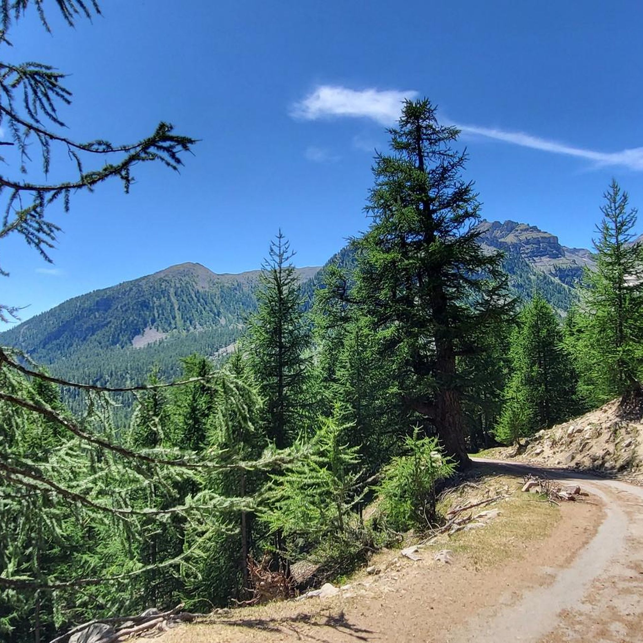
Hiking around Saint-Dalmas-Le-Selvage
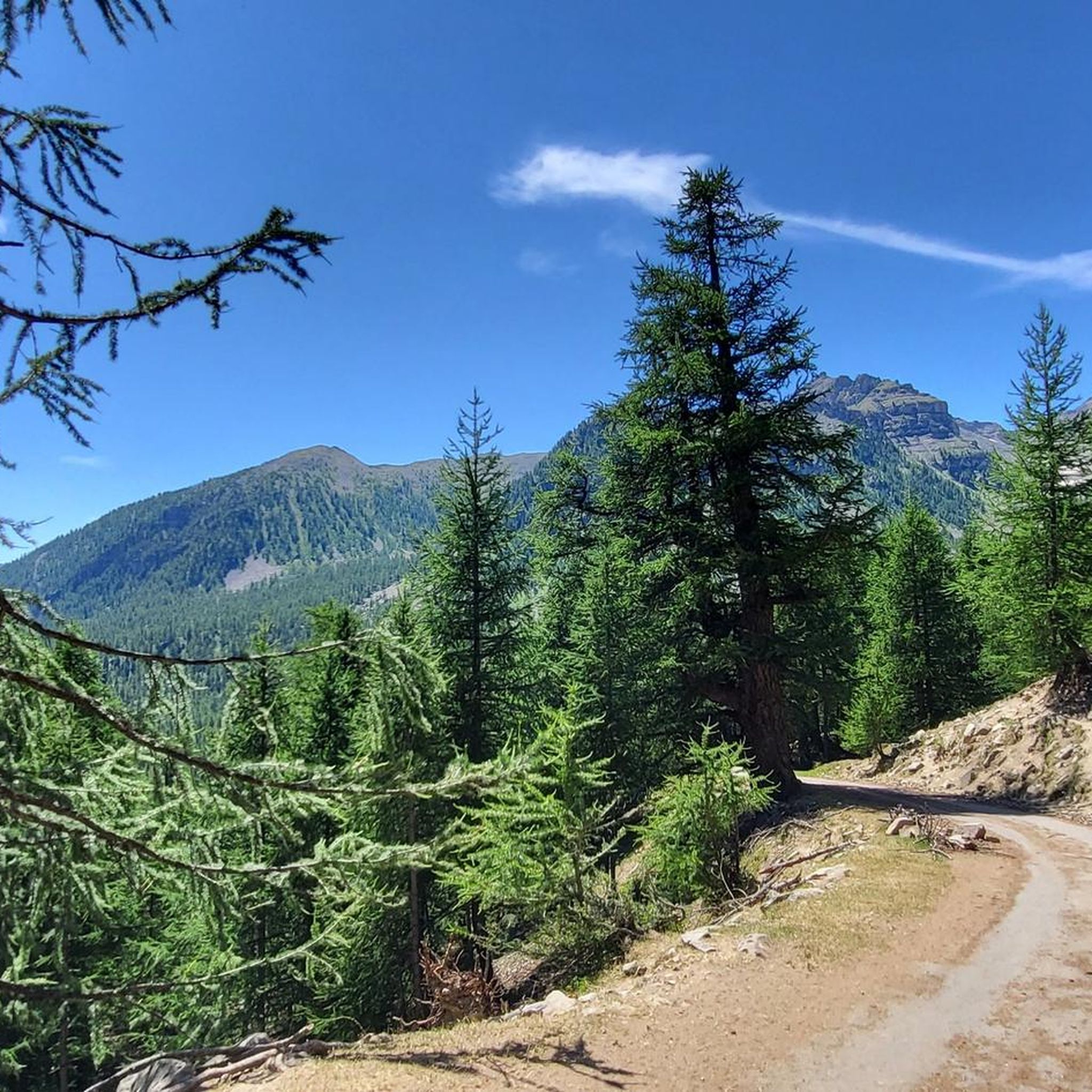
Road Cycling Routes around Saint-Dalmas-Le-Selvage
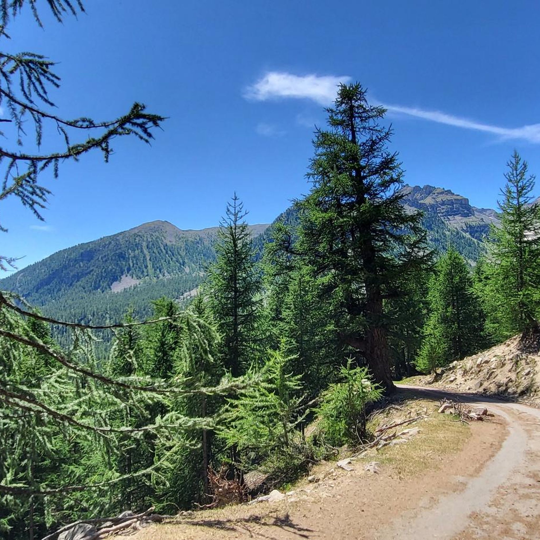
MTB Trails around Saint-Dalmas-Le-Selvage
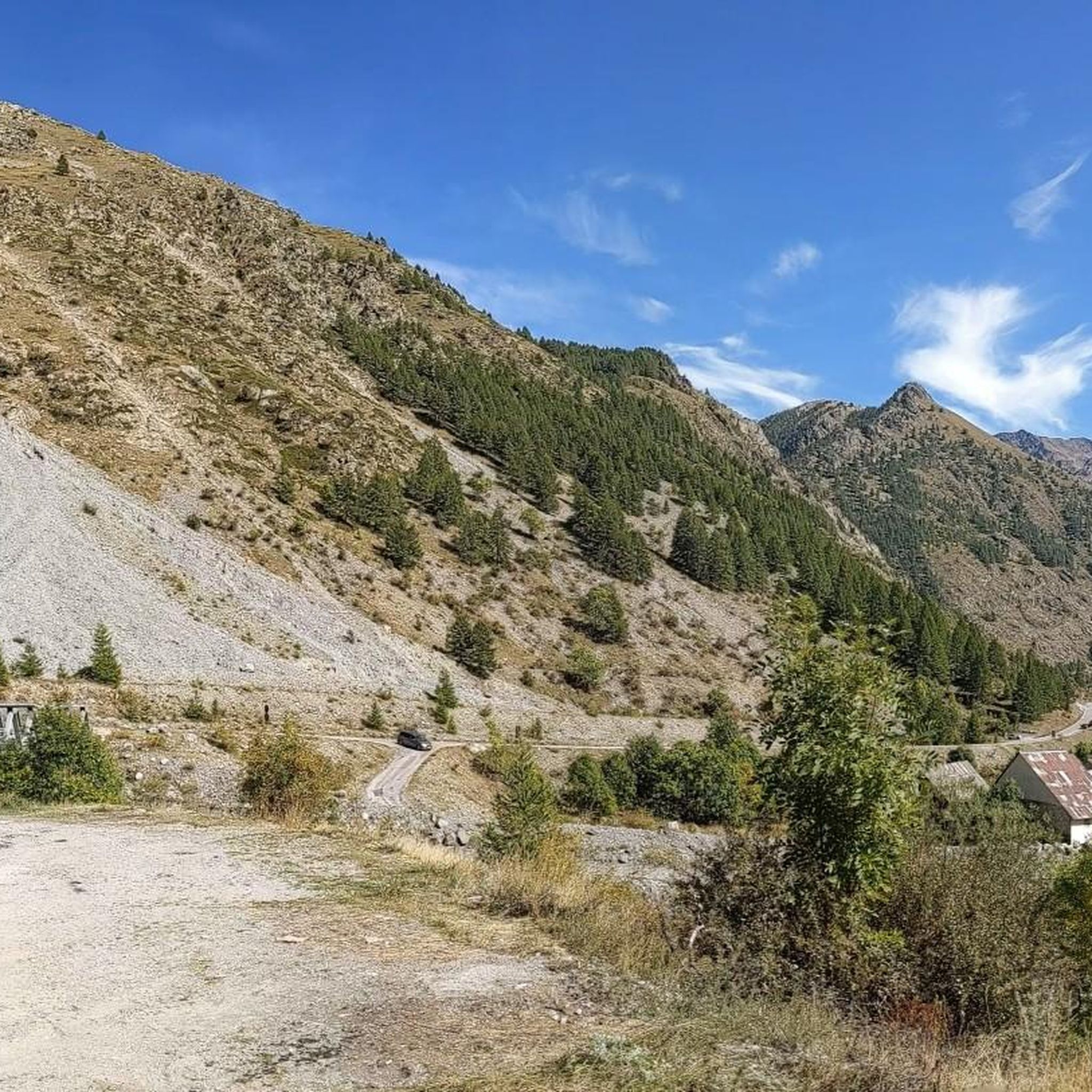
Running Trails around Saint-Dalmas-Le-Selvage

Mountain Hikes around Saint-Dalmas-Le-Selvage

Gravel biking around Saint-Dalmas-Le-Selvage
Other adventures around Saint-Dalmas-Le-Selvage


Tips from the Community

Lake immediately below the Pass on the Italian side. Reachable on foot for some relaxation by the lake (swimmability unknown, but I'd say no). Stunning view from the mountain.
0
0
Important pass between France and Italy, it is surrounded by a frame of wonderful mountains, which make you want to return to the valley. Several points of interest "anthropogenic" - including: French side, a contour line model of the area of the pass; Italian side, memorial monuments to Tazio Nuvolari and Fausto Coppi, protagonist on this pass of the legendary feat of the Cuneo-Pinerolo stage in 1949.
0
0
Important pass between France and Italy, it is surrounded by a frame of wonderful mountains, which make you want to return to the valley. Several points of interest "anthropogenic" - including: French side, a contour line model of the pass area; Italian side, memorial monuments to Tazio Nuvolari and Fausto Coppi, protagonist on this pass of the legendary feat of the Cuneo-Pinerolo stage in 1949.
0
0
Getting there from below means facing a ramp with a 20% gradient or more, which I managed by "getting off and pushing". It's better to take the first hairpin bend of the main road and then descend into the village. However you do it, it's worth it: the little church, the pedestrian area with all the well-restored houses, the view of the valley below. Great place.
0
0

I rode up to the Col de Moutiere from Saint Etienne via Saint Dalmas, and then took the 3km of gravel road link to the Col de la Bonette. I returned to Saint Etienne via the more classic D64. It makes for a much quieter, wilder and steeper ascent, with a better (but busier) road surface and more gradual decline for the D64 descent. Also this way it's a loop and you see more of the incredible scenery. The 3km gravel section is very doable with my moutain bike (i would rate it as a 'blue'). I didnt need to carry or push the bike even though some parts were boken up by small water crossings. I was overtaken by a motorbike at one point. Be careful of the weather here, especially the potentially violent afternoon thunderstorms. There is no shelter nearby
0
0

very well-kept village, "a jewel" worth a visit
0
0

If there were a ranking of the most beautiful, undiscovered Alpine passes in the cycling world, the Moutière would certainly be a contender. Starting from Saint-Dalmas-le-Selvage, the climb through the valleys of Sestrière and Sagnas is simply sublime.
1
0

Small-scale museum that combines history and art. Intriguing.
0
0
Frequently Asked Questions
What is the overall difficulty level for touring cycling in Saint-Dalmas-Le-Selvage?
Touring cycling in Saint-Dalmas-Le-Selvage is predominantly challenging, characterized by high mountain passes and significant elevation gains. Out of 35 available routes, 31 are classified as difficult, and 4 as moderate. There are no easy routes in this high-alpine environment, making it best suited for experienced touring cyclists.
Are there any moderate touring cycling routes suitable for less experienced riders?
While most routes are difficult, there are 4 moderate touring cycling routes available in Saint-Dalmas-Le-Selvage. These routes still involve climbs and descents typical of the Southern French Alps but are less demanding than the most challenging options.
What are the typical lengths and durations of touring cycling routes in this region?
The touring cycling routes in Saint-Dalmas-Le-Selvage vary in length, generally ranging from approximately 15 to over 30 miles (24 to 50 km). For example, the Restefond Barracks – Lake Eissaupres loop from Col de la Bonette is about 15.4 miles (24.8 km), while The Waterfall - Torrent de Vens – Auron Ski Resort loop from Saint-Étienne-de-Tinée extends to 31.9 miles (51.4 km). Durations can range from 2.5 to over 5 hours, depending on the route and your pace.
Where can I find parking when starting a touring cycling route?
Common starting points for touring cycling routes in Saint-Dalmas-Le-Selvage, such as Col de Restefond, Col de la Bonette, Saint-Étienne-de-Tinée, and Saint-Dalmas-le-Selvage itself, typically offer parking facilities. It's advisable to check specific route descriptions for detailed parking information.
What kind of scenery can I expect on these touring cycling routes?
You can expect breathtaking high-alpine scenery, including rugged mountain terrain, challenging passes like Restefond, Bonette, and Moutière, and stunning alpine lakes. Many routes offer panoramic views of the Southern French Alps.
Are there any circular touring cycling routes available?
Yes, many touring cycling routes in Saint-Dalmas-Le-Selvage are designed as loops. Examples include The Waterfall - Torrent de Vens – Camp des Fourches loop from Col de Restefond and the Moutière Pass – Moutière Pass loop from Saint-Dalmas-le-Selvage, allowing you to start and finish at the same point.
What are some notable landmarks or attractions I might see along the routes?
Along the routes, you can encounter several significant landmarks and natural attractions. These include the historic Camp des Fourches military camp, the scenic Cayolle Pass, and beautiful alpine bodies of water like Lake Allos and Lac du Lauzanier. The Bonette Summit also offers incredible views.
What is the best time of year for touring cycling in Saint-Dalmas-Le-Selvage?
Given its high-alpine environment and challenging passes, the best time for touring cycling in Saint-Dalmas-Le-Selvage is typically during the warmer months, from late spring to early autumn (roughly June to September). During this period, the passes are generally clear of snow, and weather conditions are more favorable, though alpine weather can change rapidly.
What do other touring cyclists enjoy most about the routes in Saint-Dalmas-Le-Selvage?
The touring cycling routes in Saint-Dalmas-Le-Selvage are highly rated by the komoot community, with an average score of 4.5 stars. Cyclists frequently praise the challenging ascents, the stunning high-mountain landscapes, and the sense of accomplishment from conquering iconic passes like Bonette and Restefond.
Are there any less crowded touring cycling routes in the area?
While the region is known for its popular passes, exploring routes that start from less central points or those that venture into slightly more remote valleys might offer a quieter experience. Routes like the Saint-Étienne-de-Tinée – Moutière Pass loop from Saint-Étienne-de-Tinée, while still challenging, can sometimes feel less trafficked than those directly on the highest cols.
What should I bring for a touring cycling trip in Saint-Dalmas-Le-Selvage?
Due to the high-alpine environment and potential for rapid weather changes, it's essential to bring layers of clothing, including waterproof and windproof gear. Adequate hydration and nutrition are crucial for the demanding climbs. A repair kit, spare tubes, and navigation tools are also highly recommended. Always check the weather forecast before heading out.
Most popular routes around Saint-Dalmas-Le-Selvage
Most popular attractions around Saint-Dalmas-Le-Selvage

Get inspired with the komoot mobile app


Explore more
Browse the best Cycling routes in other regions.
