Saint-Dalmas-Le-Selvage
Saint-Dalmas-Le-Selvage
The best walks and hikes around Saint-Dalmas-Le-Selvage
4.7
(153)
1,883
hikers
46
hikes
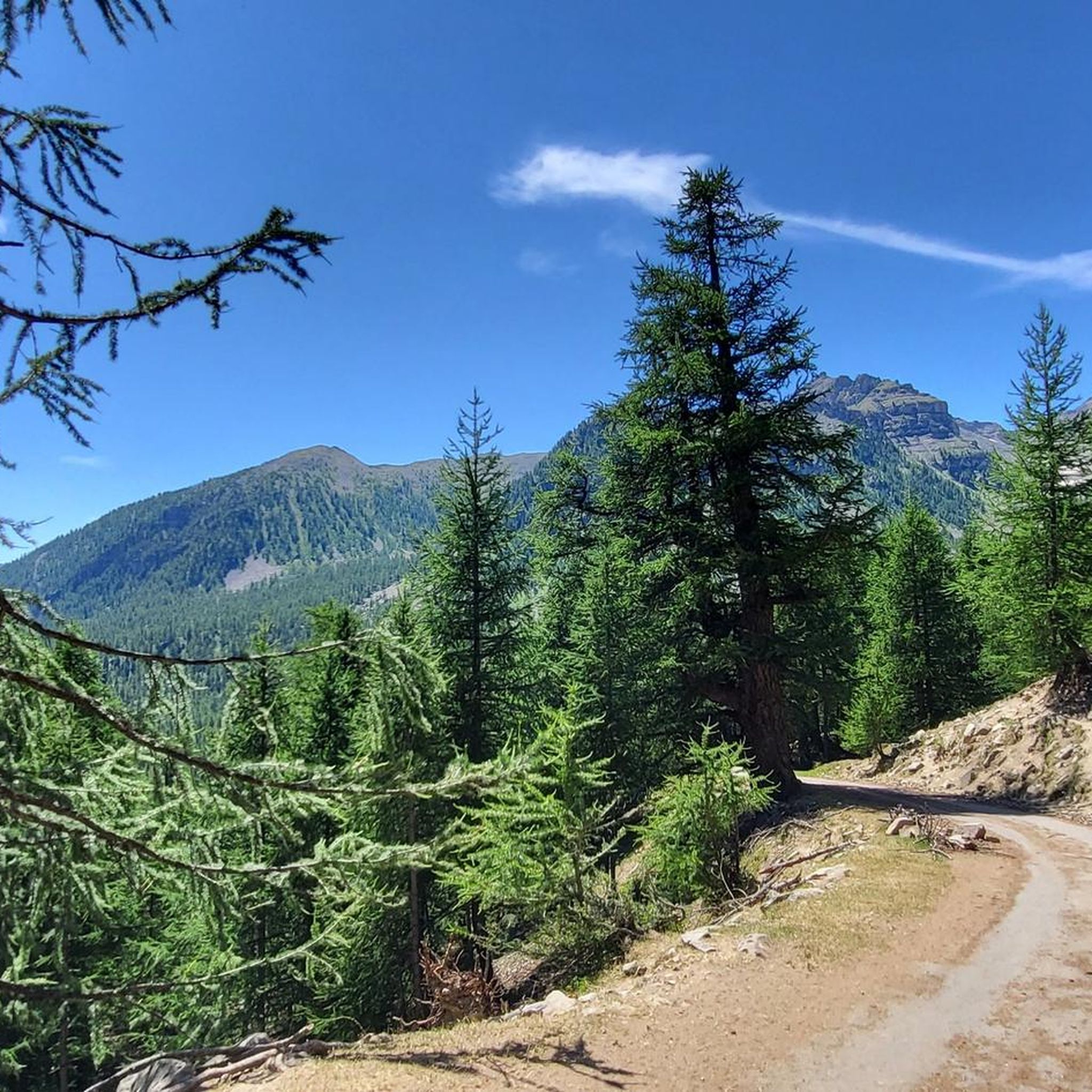
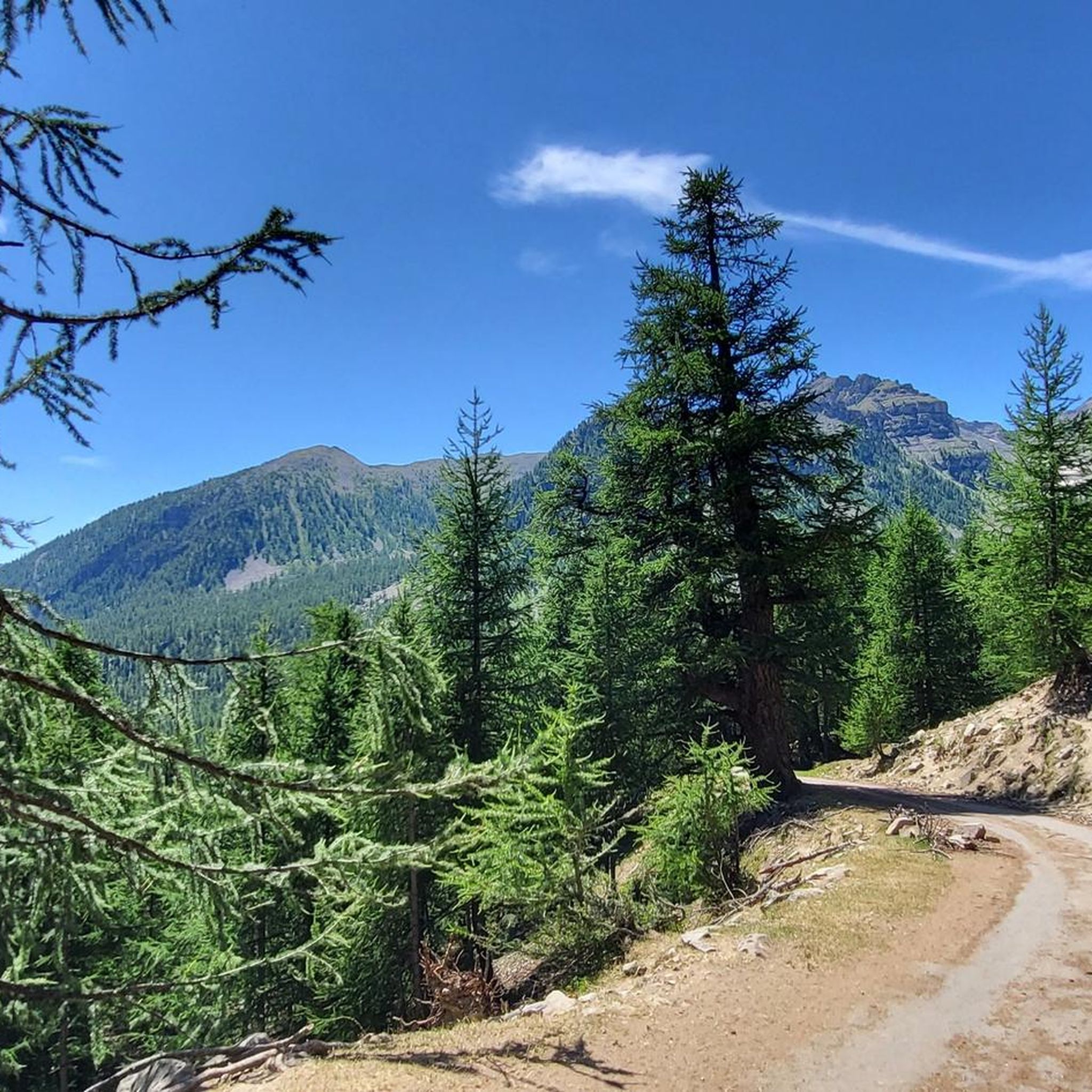
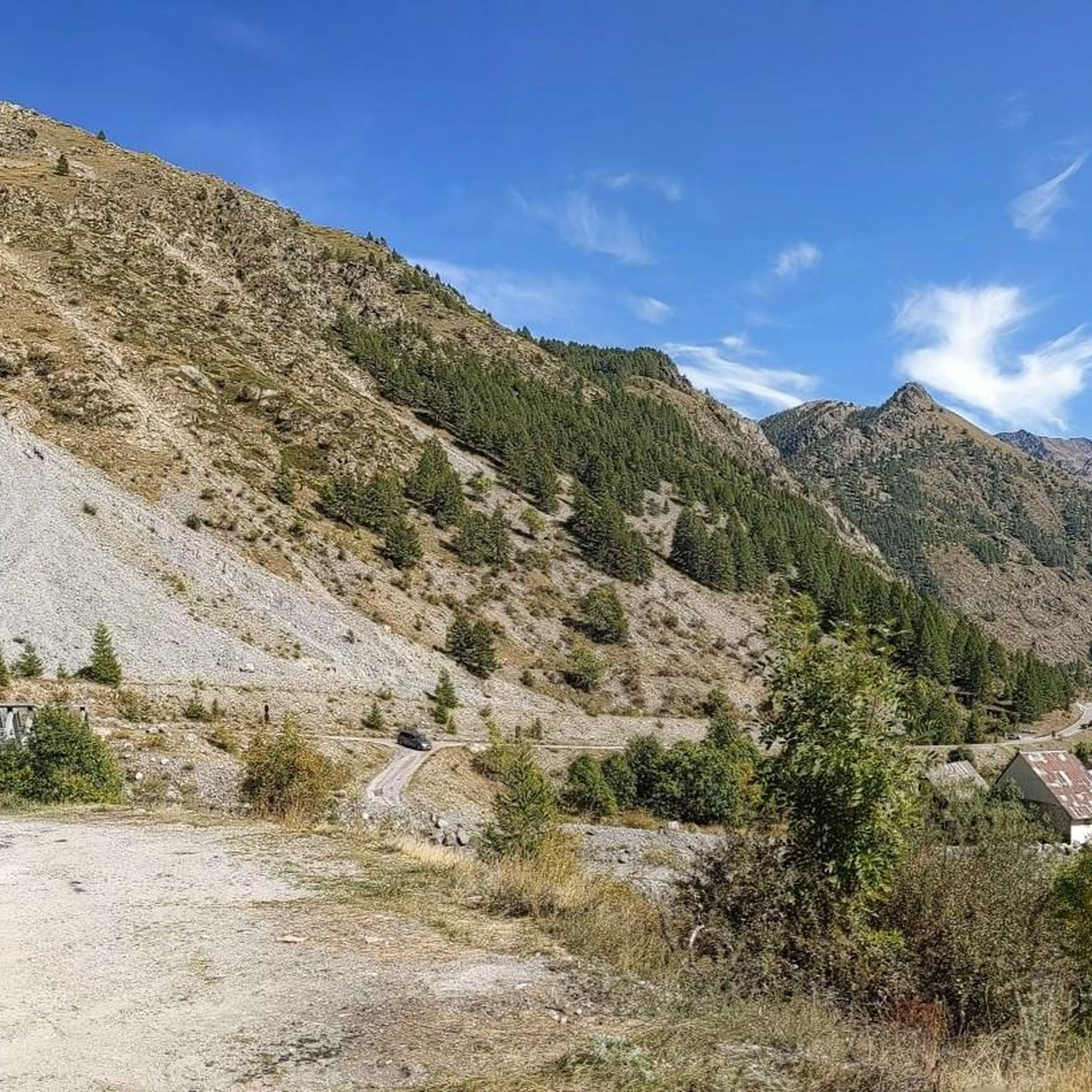
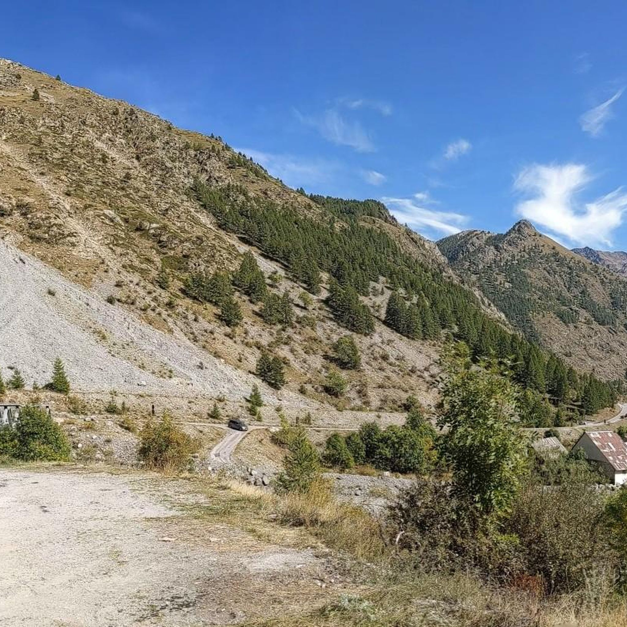
Hiking around Saint-Dalmas-Le-Selvage offers access to the Mercantour National Park, characterized by diverse altitudinal zones ranging from subalpine larch forests to alpine meadows and rocky peaks. The region is situated in the Tinée valley, featuring numerous natural mountain lakes and streams. Its terrain includes challenging mountainous areas and extensive trail networks suitable for various hiking experiences.
Best hiking trails around Saint-Dalmas-Le-Selvage
- The most popular hiking route is Lac de Vens - loop in the Mercantour National Park, a 10.9 miles (17.5 km) trail that takes 6 hours 26 minutes to complete. This difficult loop explores the high-altitude landscapes and natural lakes within the Mercantour National Park.
- Another top favourite among local hikers is Bergerie du Salso Moreno depuis Bousieyas – heart of Mercantour National Park, a difficult 5.0 miles (8.1 km) path. This route leads through high-altitude meadows, offering opportunities to observe local fauna.
- Local hikers also love the Col du Fer – Col du Fer (2,584 m) loop from Le Pra, a 9.3 miles (14.9 km) trail leading through mountainous terrain, often completed in about 5 hours 31 minutes. This difficult route provides panoramic views from a high mountain pass.
- Hiking around Saint-Dalmas-Le-Selvage is defined by ancient larch forests, glacial lakes, and high mountain passes. The network offers options for different ability levels, from easy strolls to demanding multi-hour treks.
- The routes in Saint-Dalmas-Le-Selvage are highly rated by the komoot community with an average score of 4.8 stars from over 140 reviews. More than 1800 hikers have used komoot to explore Saint-Dalmas-Le-Selvage's varied terrain.
Last updated: July 9, 2026
4.9
(11)
224
hikers
17.5km
06:26
980m
980m
Hard hike. Very good fitness required. Mostly accessible paths. Sure-footedness required.
2
hikers
Hard hike. Good fitness required. Sure-footedness, sturdy shoes and alpine experience required.

Sign up for free
4.9
(15)
207
hikers
11.7km
05:22
790m
790m
Hard hike. Very good fitness required. Sure-footedness, sturdy shoes and alpine experience required.
5.0
(4)
141
hikers
Easy hike. Great for any fitness level. Easily-accessible paths. Suitable for all skill levels.
5.0
(2)
55
hikers
17.1km
05:45
830m
830m
Hard hike. Very good fitness required. Sure-footedness, sturdy shoes and alpine experience required.
Get access to more routes and recommendations from other explorers.
Sign up for free
Already have an account?
Our route recommendations are based on thousands of hikes, rides, and runs completed by other people on komoot.
Start today with a free account
Your next adventure awaits.
Login or Signup
Popular around Saint-Dalmas-Le-Selvage

Hike from Saint-Étienne-de-Tinée to Briançon – Europe Trail (GR 5)

Mountains and marmots — France’s Ubaye trail (GR 56)
Road Cycling Routes around Saint-Dalmas-Le-Selvage
MTB Trails around Saint-Dalmas-Le-Selvage
Cycling around Saint-Dalmas-Le-Selvage
Running Trails around Saint-Dalmas-Le-Selvage

Mountain Hikes around Saint-Dalmas-Le-Selvage

Gravel biking around Saint-Dalmas-Le-Selvage
Other adventures around Saint-Dalmas-Le-Selvage


Tips from the Community

The ring road around the mountain comes into view once more at the end. Steep sections lead to the highest point, the Cime de la Bonette. Accessible in one direction only!
0
0

abandoned building without water
0
0

Intriguing ghost town which actually includes the barracks of a former military camp
0
0

Going up the Col de la Bonette on its southern side, just over 7 km from the top of the pass, and once you have passed the most spectacular section with several hairpin bends, you reach this ghost town. It is a military complex built in 1888 and used as an army operations barracks during World Wars I and II. It is very well preserved thanks to the reconstruction work carried out in 2016 and 2018. It is worth stopping to take a look.
0
0

Characteristic place, much visited, with a view of the Vens Lakes. Nature here wanted to create an amazing photographic point.
0
0

An information board about the Stone Age at la Bonette with a great view over the French Alps.
0
0

Col de la Bonette (2715 meters above sea level) is a mountain pass in the French Alps, near the border with Italy. It is located in the Mercantour National Park on the border of the departments of Alpes-Maritimes and Alpes-de-Haute-Provence. The road over the col is the seventh highest paved road in the Alps.
0
0
A magnificent hike in the Haute-Tinée offering varied panoramas and one of the most beautiful series of lakes on Mercantour!
0
0
Frequently Asked Questions
How many hiking trails are available around Saint-Dalmas-Le-Selvage?
There are over 45 hiking routes around Saint-Dalmas-Le-Selvage, offering a wide range of experiences from easy strolls to challenging multi-hour treks. The komoot community has rated these routes highly, with an average score of 4.8 stars.
What kind of landscapes can I expect to see while hiking in Saint-Dalmas-Le-Selvage?
Hiking in Saint-Dalmas-Le-Selvage offers incredibly diverse landscapes within the Mercantour National Park. You'll encounter sun-drenched forests of ancient larch trees, some over 700 years old, transitioning to alpine meadows and rocky peaks above 2,200 meters. The region is also dotted with natural mountain lakes and streams, providing stunning visual contrasts.
What is the best time of year to go hiking in Saint-Dalmas-Le-Selvage?
The natural setting around Saint-Dalmas-Le-Selvage changes dramatically with the seasons. Summer and early autumn are ideal for high-altitude hiking, enjoying alpine meadows and lakes. In winter, the area transforms into a Nordic activity center, offering marked trails for snowshoeing and cross-country skiing.
Are there any easy or family-friendly hiking options in Saint-Dalmas-Le-Selvage?
Yes, Saint-Dalmas-Le-Selvage offers routes for all fitness levels. While many trails are challenging, there are 7 easy routes and 15 moderate routes suitable for families or those looking for a less strenuous walk. Areas like the Plateau de Sestrière and Anelle Plateau are particularly popular for family picnics among centuries-old larch trees.
What are the rules for hiking with dogs in Saint-Dalmas-Le-Selvage, especially within Mercantour National Park?
Saint-Dalmas-Le-Selvage is largely within the Mercantour National Park. Generally, dogs are not permitted on trails within the central zone of French national parks, even on a leash, to protect wildlife. However, they are often allowed in the peripheral zones. It's crucial to check specific regulations for the Mercantour National Park before planning a hike with your dog to ensure compliance and avoid fines.
Are there any hikes that feature waterfalls or lakes in the Saint-Dalmas-Le-Selvage area?
Absolutely. The region is known for its breathtaking natural mountain lakes and waterfalls. Notable examples include the Gialorgues Lakes, Lac de Vens, Lacs d'Agnel, and the Morgon Lakes. The Cascade du Piolart also offers a particularly rewarding, albeit short, circular hike. For a challenging route exploring high-altitude lakes, consider the Lac de Vens - loop in the Mercantour National Park.
What cultural or historical landmarks can I explore while hiking around Saint-Dalmas-Le-Selvage?
Beyond natural beauty, Saint-Dalmas-Le-Selvage offers cultural points of interest. You can explore the village's narrow paved streets, traditional mountain architecture, and sundials. Historical sites include the 16th-century church, the 15th-century Sainte-Marguerite chapel with its murals, and the former military fortification, the Camp des Fourches. The old water mill is also a visible attraction.
Are there any long-distance hiking trails that pass through Saint-Dalmas-Le-Selvage?
Yes, the renowned GR5 long-distance trail passes through the Saint-Dalmas-Le-Selvage area, offering segments for those interested in multi-day treks or experiencing a portion of this iconic route. Other routes like the Circuit du Bois d'Anelle and the Promenade des Murès also provide historical and scenic insights.
Where can I find parking for hiking trails in Saint-Dalmas-Le-Selvage?
Parking is generally available within Saint-Dalmas-Le-Selvage village, which serves as a hub for many trails. Specific trailheads, especially for routes departing from areas like Bousieyas or Le Pra, will have designated parking areas. It's advisable to check the starting point of your chosen route for the most convenient parking options.
What do other hikers enjoy most about hiking in Saint-Dalmas-Le-Selvage?
The area is highly rated by the komoot community, with an average score of 4.8 stars from over 140 reviews. Reviewers often praise the stunning high-altitude landscapes, the pristine natural environments of Mercantour National Park, and the sense of tranquility found among the ancient larch forests and glacial lakes. Many appreciate the diverse range of trails catering to different skill levels.
Are there any high mountain passes accessible by hiking from Saint-Dalmas-Le-Selvage?
Yes, the region is characterized by its mountainous terrain and high passes. The famous Col de la Bonette, Europe's highest road, runs through the commune's territory and serves as a gateway to high-altitude hiking. You can also experience panoramic views from a high mountain pass on routes like the Col du Fer – Col du Fer (2,584 m) loop from Le Pra.
Can I find accommodation or amenities in Saint-Dalmas-Le-Selvage?
Saint-Dalmas-Le-Selvage is a small village but offers basic amenities. You can find accommodation options, and there are typically cafes or small shops available. For more extensive services, nearby larger towns would be an option. Additionally, several huts and cabins are located in the surrounding mountains, such as Refuge de Vens or Refuge de Rabuons, for those planning multi-day treks.
Are there any circular hiking routes recommended in the area?
Yes, many trails in Saint-Dalmas-Le-Selvage are designed as loops, allowing you to start and end at the same point. For example, the Lac de Vens - loop in the Mercantour National Park is a popular and challenging circular route. The Cascade du Piolart also offers a short, rewarding circular hike.
Most popular routes around Saint-Dalmas-Le-Selvage
Most popular attractions around Saint-Dalmas-Le-Selvage

Get inspired with the komoot mobile app


Explore more
Browse the best Hikes in other regions.
