The 20 Most Amazing Peaks around Saint-Étienne-De-Tinée
Best mountain peaks around Saint-Étienne-De-Tinée are found within a region characterized by its mountainous terrain and high-altitude passes. This area offers a diverse landscape, featuring numerous summits, lakes, and historical sites. The peaks provide opportunities for exploration and offer views of the surrounding natural environment. The geography includes both challenging ascents and accessible routes, catering to various levels of outdoor activity.
Best mountain peaks around Saint-Étienne-De-Tinée
- The most popular mountain peaks is Col Tesina, a mountain pass that reaches…
Last updated: July 7, 2026
Bonette Summit
Highlight • Summit
Even if you are up there with the bike ...
Translated by Google •
Tip by

Ascent of the Cime de la Bonette from Jausiers
Highlight (Segment) • Mountain Pass
Translated by Google •
Tip by

Sign up now to discover places like this
Get recommendations on the best single tracks, peaks, & plenty of other exciting outdoor places.
Sign up for free
Col Tesina
Highlight • Mountain Pass
Translated by Google •
Tip by

Camp des Fourches military camp
Highlight • Historical Site
Translated by Google •
Tip by

Summit of Lausson
Highlight • Summit
Translated by Google •
Tip by

Sign up for free to discover even more peaks around Saint-Étienne-De-Tinée.
Sign up for free
Already have an account?
Start today with a free account
Your next adventure awaits.
Login or Signup
Popular around Saint-Étienne-De-Tinée

GR 5 – The Europe Trail from the Mediterranean to Germany

Europe Trail (GR 5) – Hike from Nice to Saint-Étienne-de-Tinée

Route des Grandes Alpes

Cycling from the Italian Riviera to the French Alps – Alpine Arc (part 1)

Hike from Saint-Étienne-de-Tinée to Briançon – Europe Trail (GR 5)

France — two weeks of hiking at its best!
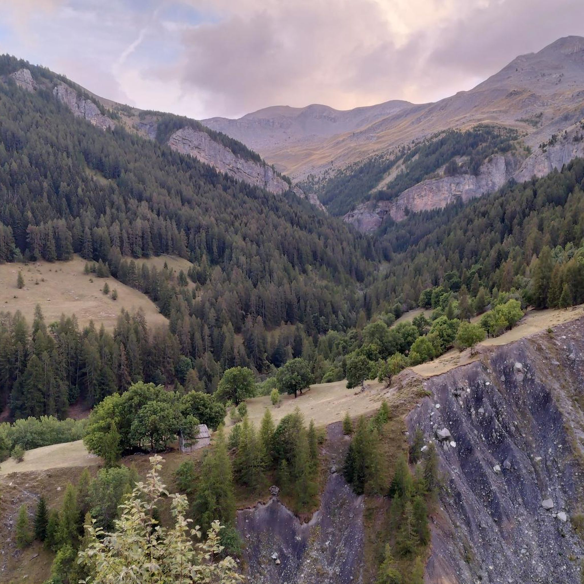
Hiking around Saint-Étienne-De-Tinée
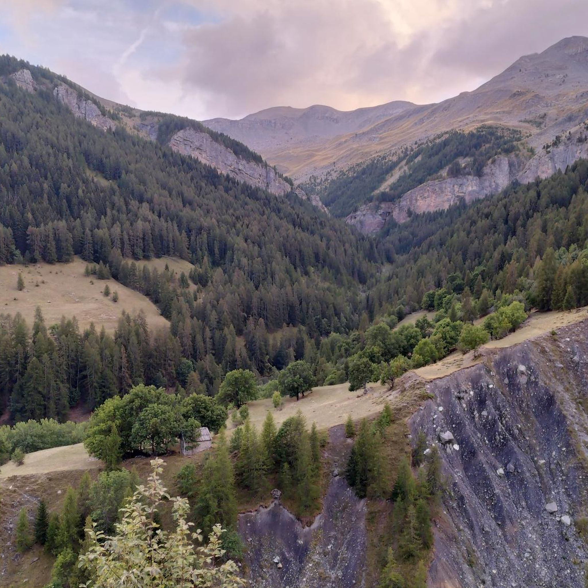
Road Cycling Routes around Saint-Étienne-De-Tinée
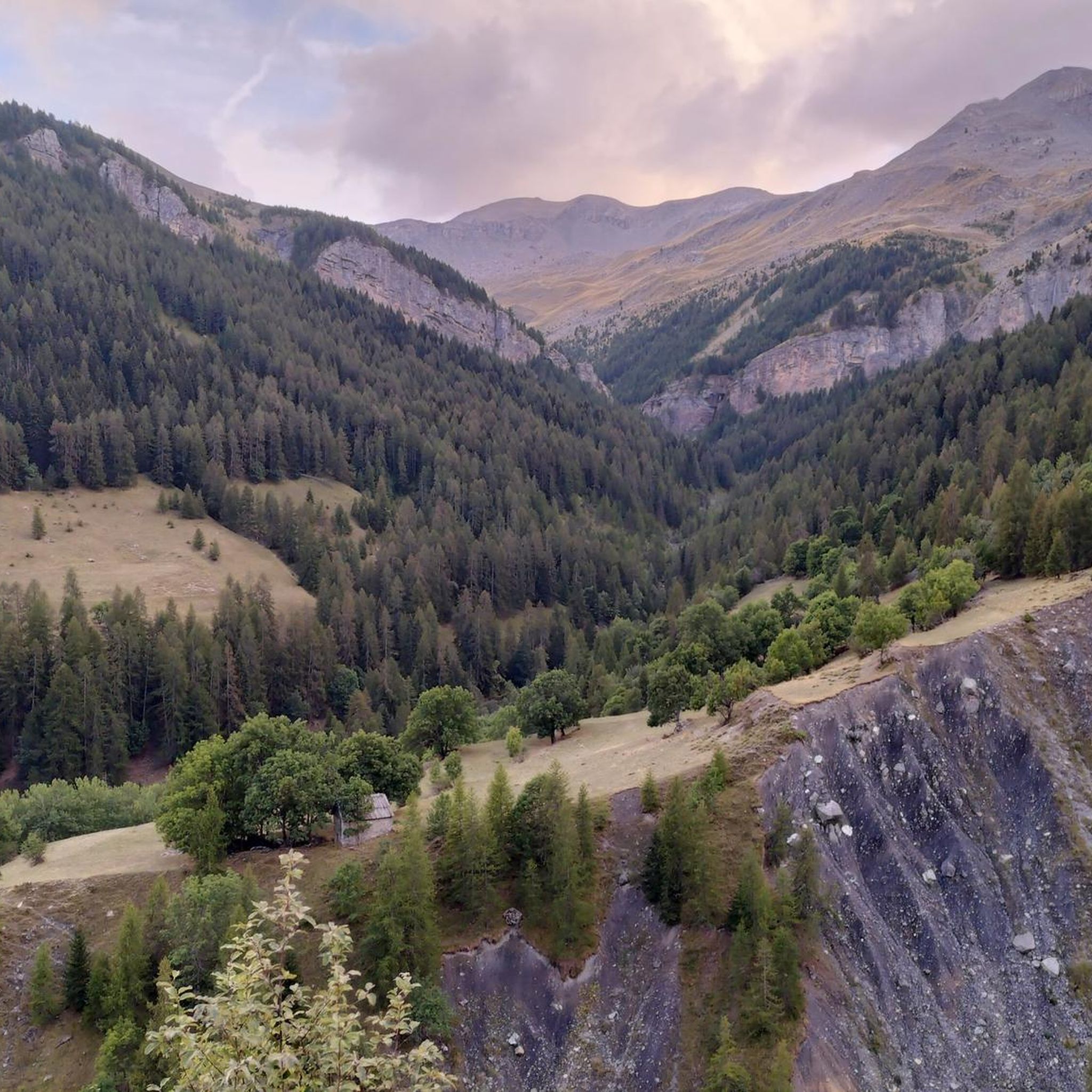
MTB Trails around Saint-Étienne-De-Tinée
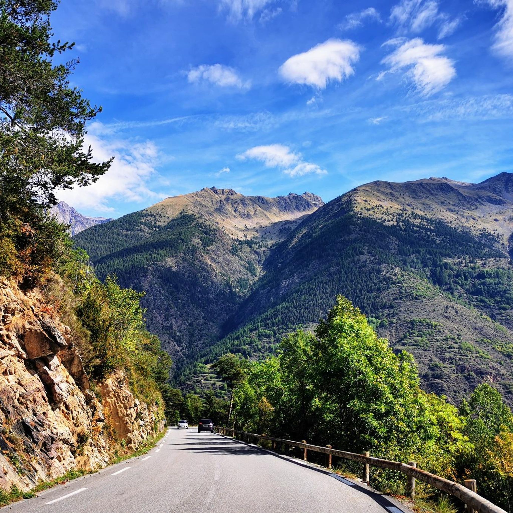
Cycling around Saint-Étienne-De-Tinée
Other adventures around Saint-Étienne-De-Tinée


Tips from the Community

The ring road around the mountain comes into view once more at the end. Steep sections lead to the highest point, the Cime de la Bonette. Accessible in one direction only!
0
0

abandoned building without water
0
0

Beautiful pass at 2400m altitude. You go from a sunny and very green environment to a shady side, more rocky and that may still have residual snow (in my case at the beginning of June there was enough to block the passage). Spectacular stretch of path on the balcony on the west side.
0
0

I recommend the ring climb from the Tesina pass, with the saboulet, etc., as mentioned it's always windy
1
0

Intriguing ghost town which actually includes the barracks of a former military camp
0
0

Going up the Col de la Bonette on its southern side, just over 7 km from the top of the pass, and once you have passed the most spectacular section with several hairpin bends, you reach this ghost town. It is a military complex built in 1888 and used as an army operations barracks during World Wars I and II. It is very well preserved thanks to the reconstruction work carried out in 2016 and 2018. It is worth stopping to take a look.
0
0


Col de la Bonette (2715 meters above sea level) is a mountain pass in the French Alps, near the border with Italy. It is located in the Mercantour National Park on the border of the departments of Alpes-Maritimes and Alpes-de-Haute-Provence. The road over the col is the seventh highest paved road in the Alps.
0
0
Frequently Asked Questions
What are some notable mountain peaks or passes to explore in Saint-Étienne-De-Tinée?
The region offers several impressive locations. You can visit Col Tesina, a mountain pass at 2400 meters, or the iconic Bonette Summit, known as the highest paved road in Europe with panoramic views. Another beautiful spot is Upper Roburent Lake, the highest of the Roburent lakes, offering diverse scenic vistas.
Where can I find the best panoramic views of the region?
For breathtaking panoramic views, consider heading to Bonette Summit. The Upper Roburent Lake also provides a variety of stunning perspectives of the surrounding landscape. The Ascent of the Cime de la Bonette from Jausiers is also known for its grandiose views.
Are there any historical sites among the mountain peaks?
Yes, you can explore the Camp des Fourches military camp. This former barracks was part of fortifications protecting the Ubaye valley and served alpine hunters. It's a preserved site with explanatory panels recounting its history during the World Wars.
What kind of outdoor activities can I do near the mountain peaks in Saint-Étienne-De-Tinée?
The area is excellent for various outdoor pursuits. You can find numerous routes for hiking, running, and mountain hiking. These guides offer a range of difficulties, from moderate to challenging.
Are there specific hiking trails recommended near these peaks?
Absolutely. For hiking, you might consider the Tortisse Loop, which is a moderate trail. If you're looking for something more challenging, the Lac de Vens - loop in the Mercantour National Park is a popular option. For mountain hikes, the Vens Lakes loop from Santuario di Sant'Anna di Vinadio is a moderate choice, while the Roburent Lakes – Upper Roburent Lake loop offers a more difficult experience. You can find more details in the Hiking around Saint-Étienne-De-Tinée and Mountain Hikes around Saint-Étienne-De-Tinée guides.
What is the best time to visit the mountain peaks around Saint-Étienne-De-Tinée?
The best time to visit for hiking and exploring the high-altitude passes is typically from late spring to early autumn (June to September) when the snow has melted and the weather is generally stable. Some roads, like the one to Bonette Summit, are only fully accessible during these months. For winter activities, specific trails and conditions apply.
Are there any easy or family-friendly mountain walks around Saint-Étienne-De-Tinée?
While many routes in the high mountains can be challenging, some areas offer more accessible options. The vicinity of Upper Roburent Lake is popular for picnics and may offer gentler paths suitable for families. For specific easy walks, it's best to consult the Hiking around Saint-Étienne-De-Tinée guide and filter by difficulty.
What do visitors enjoy most about the mountain peaks in this region?
Visitors frequently highlight the stunning panoramic views, especially from locations like Bonette Summit and Upper Roburent Lake. The variety of trails, from challenging climbs to scenic viewpoints, and the opportunity to explore high-altitude lakes and passes are also highly appreciated by the komoot community.
Can I find circular walks among the mountain peaks?
Yes, several circular routes are available. For instance, the Collet de Tortisse loop from Vens is a difficult running trail, and the Vens Lakes loop from Santuario di Sant'Anna di Vinadio is a moderate mountain hike. You can explore more options in the Hiking around Saint-Étienne-De-Tinée and Mountain Hikes around Saint-Étienne-De-Tinée guides.
Are there less crowded mountain peaks or trails to explore?
While popular spots like Bonette Summit can attract many visitors, especially during peak season, exploring trails slightly off the main routes or visiting during weekdays can offer a more serene experience. The region has many lesser-known paths; checking the Hiking around Saint-Étienne-De-Tinée guide for trails with fewer upvotes or photos might lead you to quieter spots.
What should I wear for hiking the peaks in Saint-Étienne-De-Tinée?
Given the mountainous terrain and high altitudes, it's essential to dress in layers. Even in summer, temperatures can drop significantly, especially at higher elevations. Bring waterproof and windproof outer layers, sturdy hiking boots, and sun protection. Always check the local weather forecast before heading out.
Most popular routes around Saint-Étienne-De-Tinée
Most popular attractions around Saint-Étienne-De-Tinée

Get inspired with the komoot mobile app


Explore more
See even more amazing summits around Saint-Étienne-De-Tinée with these guides:
